Marysvale is a town in Piute County, Utah, United States. The population was 408 at the 2010 census. Marysvale is a trail head for the Paiute ATV Trail.
| Name: | Marysvale town |
|---|---|
| LSAD Code: | 43 |
| LSAD Description: | town (suffix) |
| State: | Utah |
| County: | Piute County |
| Incorporated: | 1913 |
| Elevation: | 5,863 ft (1,787 m) |
| Total Area: | 17.99 sq mi (46.60 km²) |
| Land Area: | 17.98 sq mi (46.57 km²) |
| Water Area: | 0.01 sq mi (0.03 km²) |
| Total Population: | 408 |
| Population Density: | 24.31/sq mi (9.38/km²) |
| ZIP code: | 84750 |
| Area code: | 435 |
| FIPS code: | 4948610 |
| GNISfeature ID: | 1443220 |
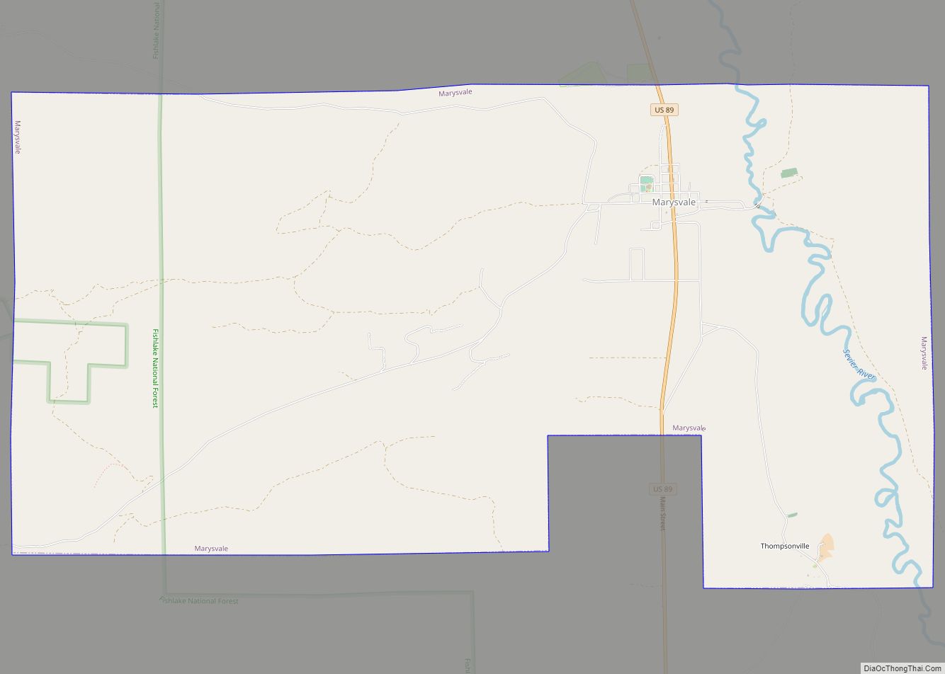
Online Interactive Map
Click on ![]() to view map in "full screen" mode.
to view map in "full screen" mode.
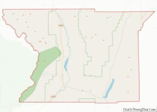
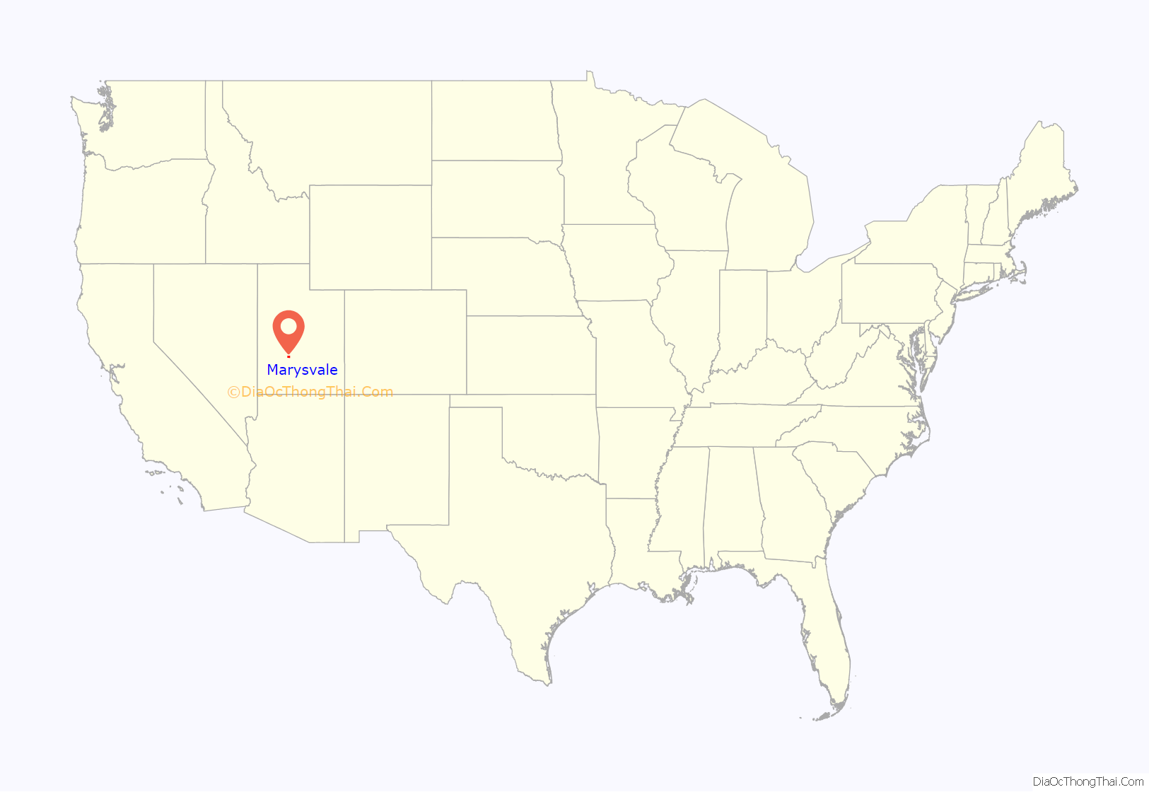
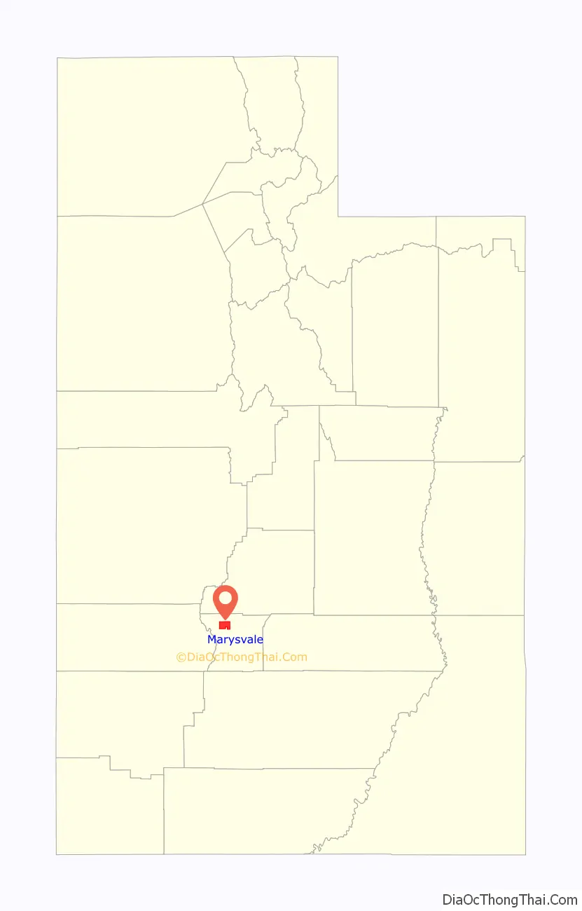
Marysvale location map. Where is Marysvale town?
History
A post office called Marysvale has been in operation since 1872. The town’s name probably commemorates the Virgin Mary.
In the late 1860s, silver ore was discovered in the Volcanic Series of Bullion Canyon and Mount Belknap, west of Marysvale in the Tushar Mountains. In 1889, gold was discovered. Then in 1949, uranium was discovered, prompting the United States Atomic Energy Commission to establish an ore purchasing station and field office in Marysvale. The uranium occurs as veins within quartz monzonite, granite and rhyolite, usually in the form of pitchblende, but also as umohoite, which was first identified at Marysvale. The pitchblende has been age dated to the Late Miocene. Total uranium production from the Marysvale area amounted to about 275,000 tons of 0.2 per cent U2O8.
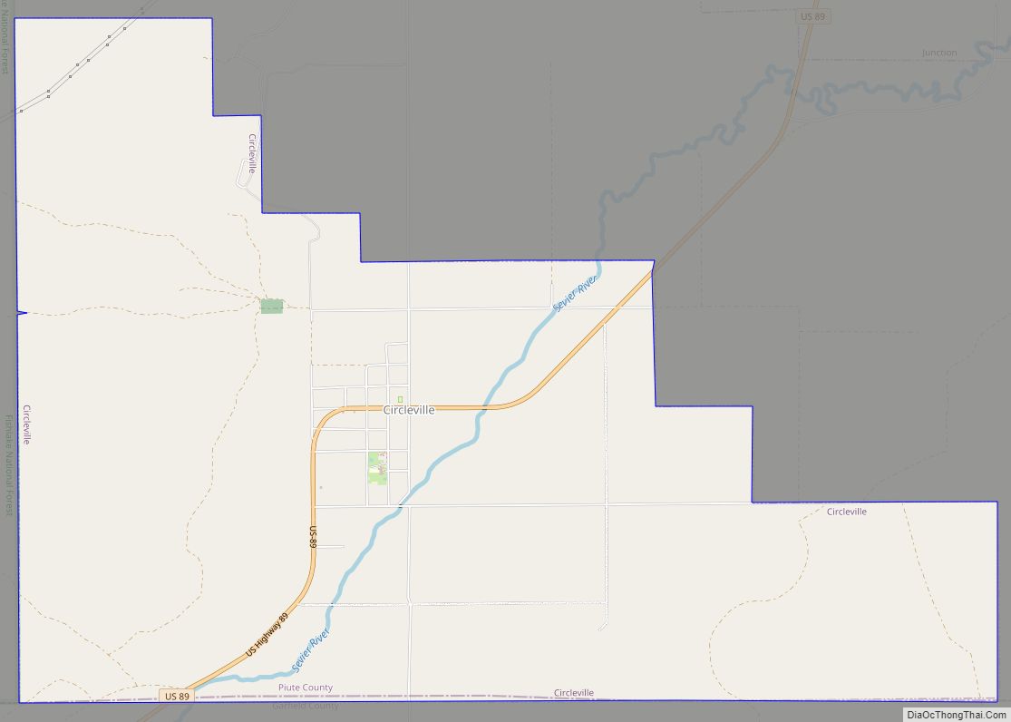
Marysvale Road Map
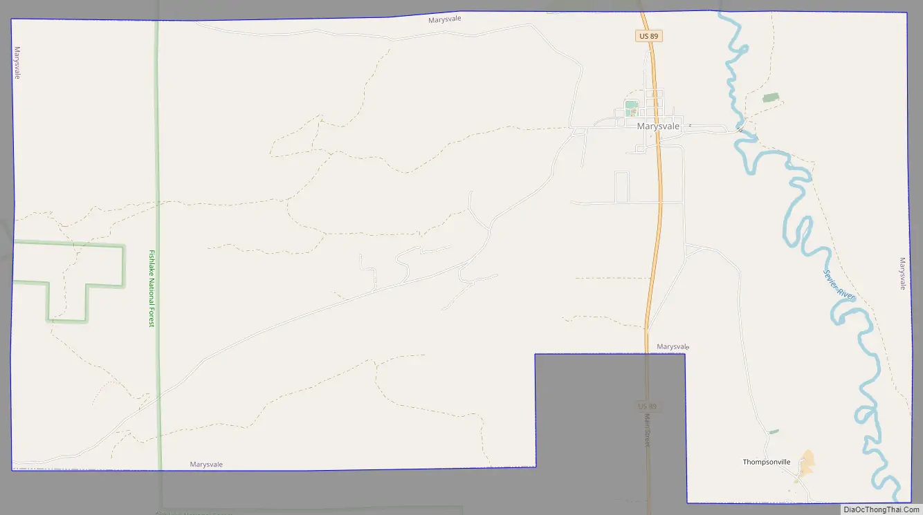
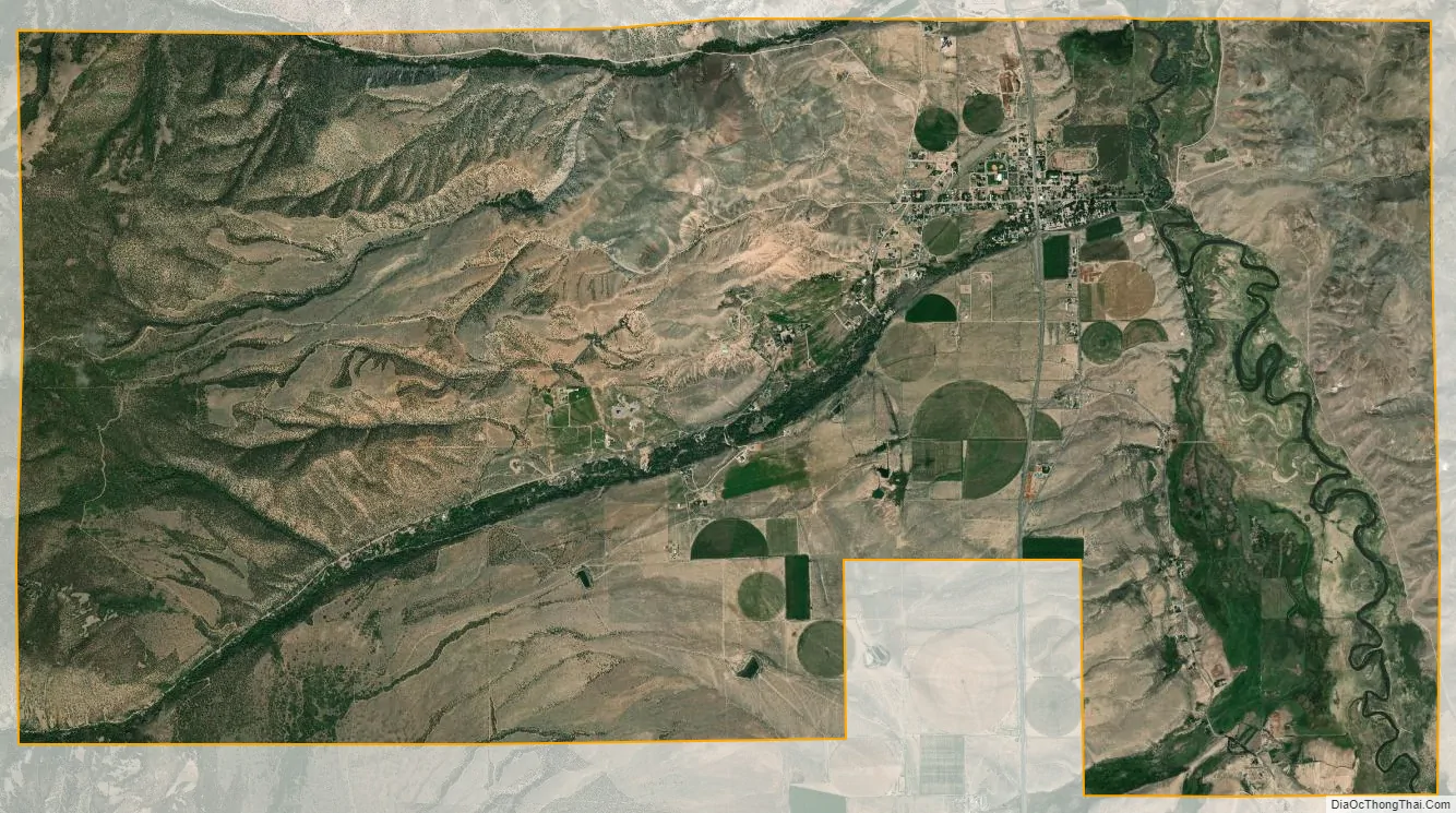
Marysvale city Satellite Map
Geography
According to the United States Census Bureau, the town has a total area of 15.1 square miles (39.1 km), of which 15.1 square miles (39.1 km) is land and 0.07% is water.
Climate
The Köppen Climate Classification subtype for this climate is “BSk” (cold semi-arid climate).
See also
Map of Utah State and its subdivision: Map of other states:- Alabama
- Alaska
- Arizona
- Arkansas
- California
- Colorado
- Connecticut
- Delaware
- District of Columbia
- Florida
- Georgia
- Hawaii
- Idaho
- Illinois
- Indiana
- Iowa
- Kansas
- Kentucky
- Louisiana
- Maine
- Maryland
- Massachusetts
- Michigan
- Minnesota
- Mississippi
- Missouri
- Montana
- Nebraska
- Nevada
- New Hampshire
- New Jersey
- New Mexico
- New York
- North Carolina
- North Dakota
- Ohio
- Oklahoma
- Oregon
- Pennsylvania
- Rhode Island
- South Carolina
- South Dakota
- Tennessee
- Texas
- Utah
- Vermont
- Virginia
- Washington
- West Virginia
- Wisconsin
- Wyoming