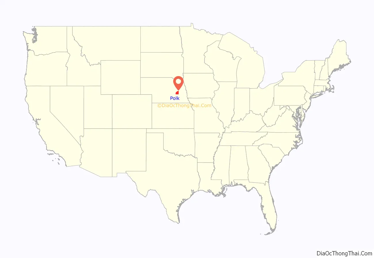
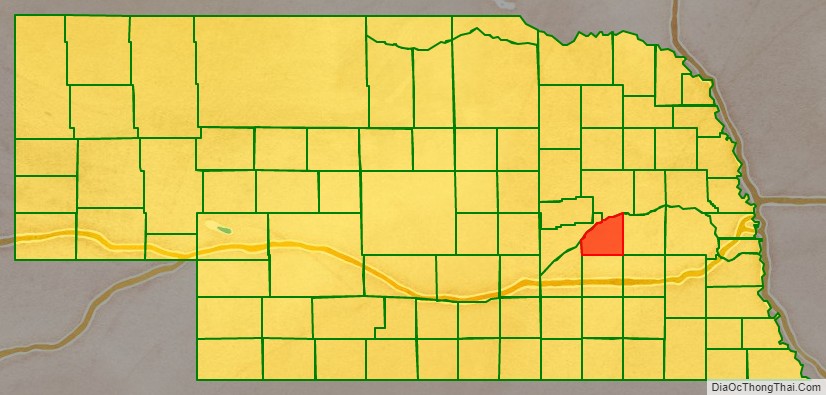
Polk County is a county in the U.S. state of Nebraska. As of the 2020 United States Census, the population was 5,214. Its county seat is Osceola. The county was formed in 1856, and was organized in 1870. It was named for President James K. Polk.
In the Nebraska license plate system, Polk County is represented by the prefix 41 (it had the 41st-largest number of vehicles registered in the county when the license plate system was established in 1922).
| Name: | Polk County |
|---|---|
| FIPS code: | 31-143 |
| State: | Nebraska |
| Founded: | 1856 |
| Named for: | James K. Polk |
| Seat: | Osceola |
| Largest city: | Stromsburg |
| Total Area: | 441 sq mi (1,140 km²) |
| Land Area: | 438 sq mi (1,130 km²) |
| Total Population: | 5,174 |
| Population Density: | 12.2/sq mi (4.7/km²) |
| Time zone: | UTC−6 (Central) |
| Summer Time Zone (DST): | UTC−5 (CDT) |
| Website: | www.polkcounty.ne.gov |
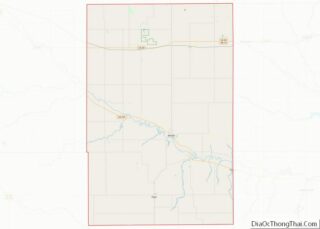
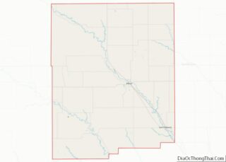
Polk County location map. Where is Polk County?
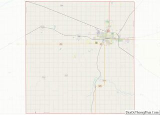
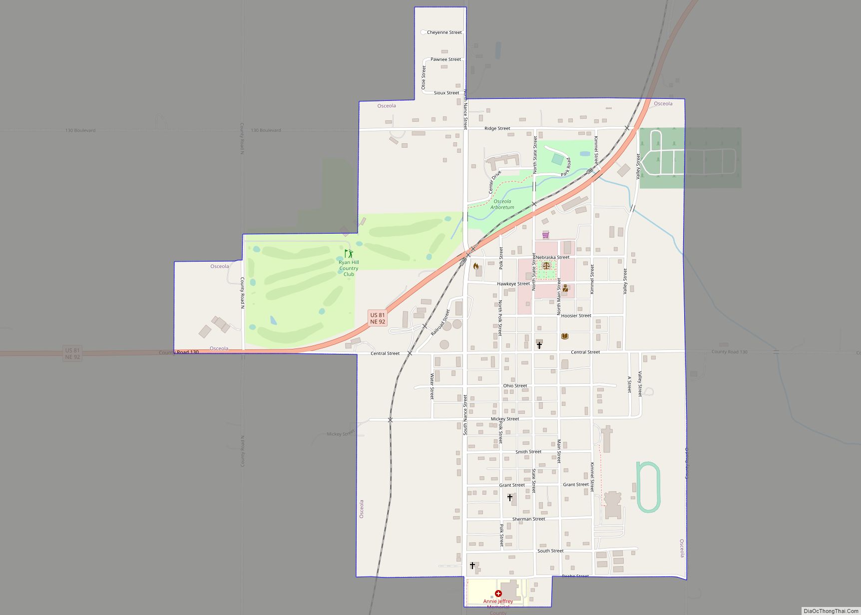
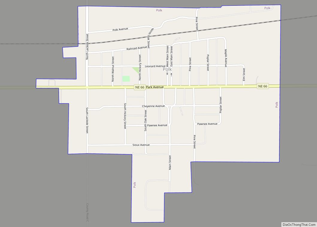
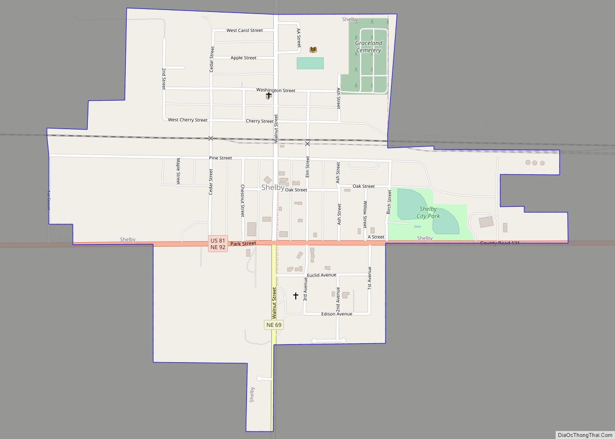
Polk County Road Map
Geography
The Platte River flows northeastward along the northwest boundary of Polk County. The lower portion of the county is drained by a local drainage, flowing east and east-northeastward into Butler County. The county terrain consists of rolling hills, dropping off to the river valley in the northern portion, and sloped to the east-southeast in the lower portion of the county. The county terrain is largely devoted to agriculture.
According to the U.S. Census Bureau, the county has a total area of 441 square miles (1,140 km), of which 438 square miles (1,130 km) is land and 2.3 square miles (6.0 km) (0.5%) is water.
Major highways
- U.S. Highway 81
- Nebraska Highway 39
- Nebraska Highway 66
- Nebraska Highway 69
- Nebraska Highway 92
Adjacent counties
- Butler County – east
- Seward County – southeast
- York County – south
- Hamilton County – southwest
- Merrick County – west
- Platte County – north
