Allen is a town in Hughes and Pontotoc counties in the U.S. state of Oklahoma. The population was 932 at the 2010 census.
| Name: | Allen town |
|---|---|
| LSAD Code: | 43 |
| LSAD Description: | town (suffix) |
| State: | Oklahoma |
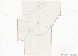
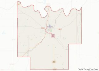
| County: | Hughes County, Pontotoc County |
| Elevation: | 869 ft (265 m) |
| Total Area: | 0.94 sq mi (2.43 km²) |
| Land Area: | 0.94 sq mi (2.43 km²) |
| Water Area: | 0.00 sq mi (0.00 km²) |
| Total Population: | 805 |
| Population Density: | 856.38/sq mi (330.64/km²) |
| ZIP code: | 74825 |
| Area code: | 580 |
| FIPS code: | 4001400 |
| GNISfeature ID: | 1089584 |
Online Interactive Map
Click on ![]() to view map in "full screen" mode.
to view map in "full screen" mode.
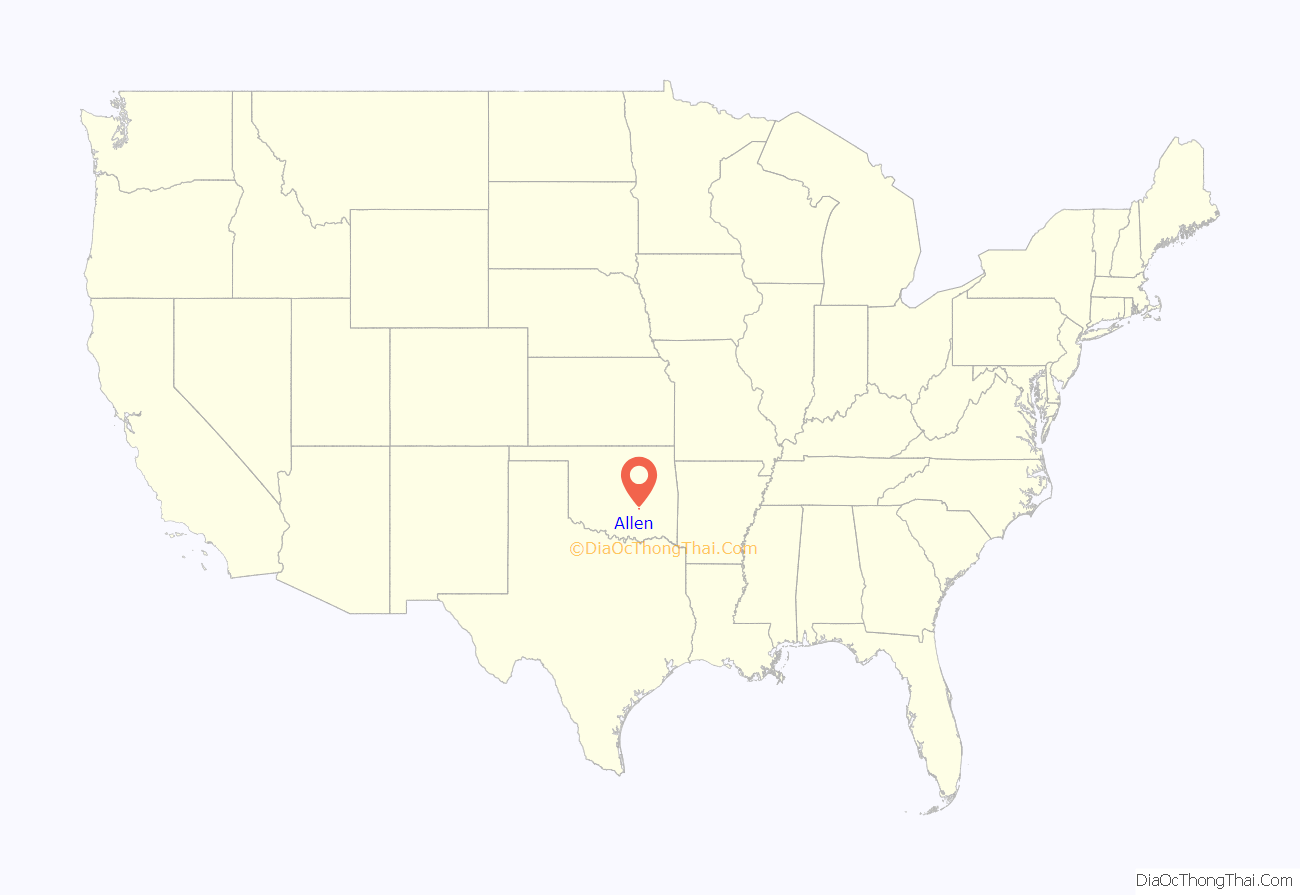
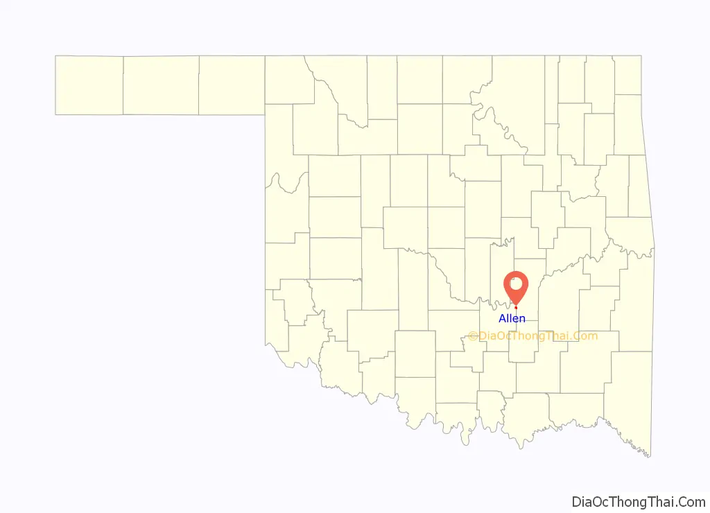
Allen location map. Where is Allen town?
History
The town was founded in 1883 by a group of white settlers who had arrived in Choctaw Nation, Indian Territory in 1882 from Gainesville, Texas, led by Confederate Army veteran Doctor John Trigg Gilmore, his wife, Elizabeth Louise Oliveaux, their children, and relatives William and George McCall, with their respective families. They first settled in Cold Springs, northwest of the present town site, where other settlers soon joined them. The first log cabin was built in Allen in 1883, and this building was used as both a school and church. The town was named after the son of deputy United States marshal William McCall.
Allen, Oklahoma is the modern-day site of the Battle of Middle Boggy during the American Civil War.
In 1892, Dr. Gilmore became Allen’s first postmaster and founded the town’s first Masonic Lodge two years later.
The Missouri, Oklahoma, and Gulf Railway built a line through the area in 1909, although it bypassed Allen, by a half-mile.
Allen became a boomtown in 1913, when an oil well was drilled west of the town. The population rose from 645 in 1910 to 1,389 in 1930, but dropped to 907 in 1970. Its principal industries besides petroleum are ranching and agriculture.
The Allen Advocate is a weekly newspaper published on Thursday in Allen. The newspaper is published by the Robinson Publishing Company, founded in 1982, by Bill and Dayna Robinson. The company also publishes the Coalgate Record Register and the Holdenville Tribune.
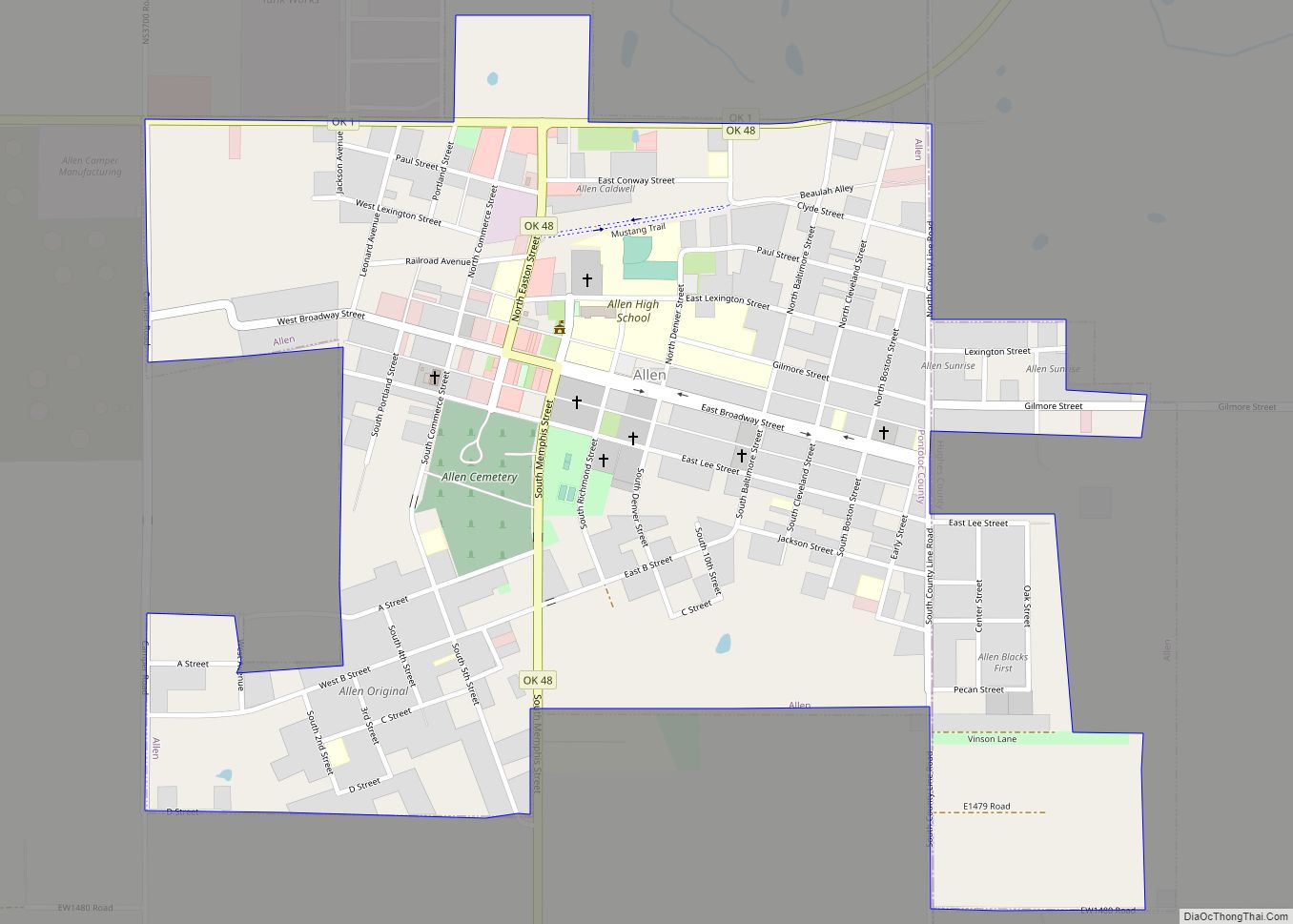
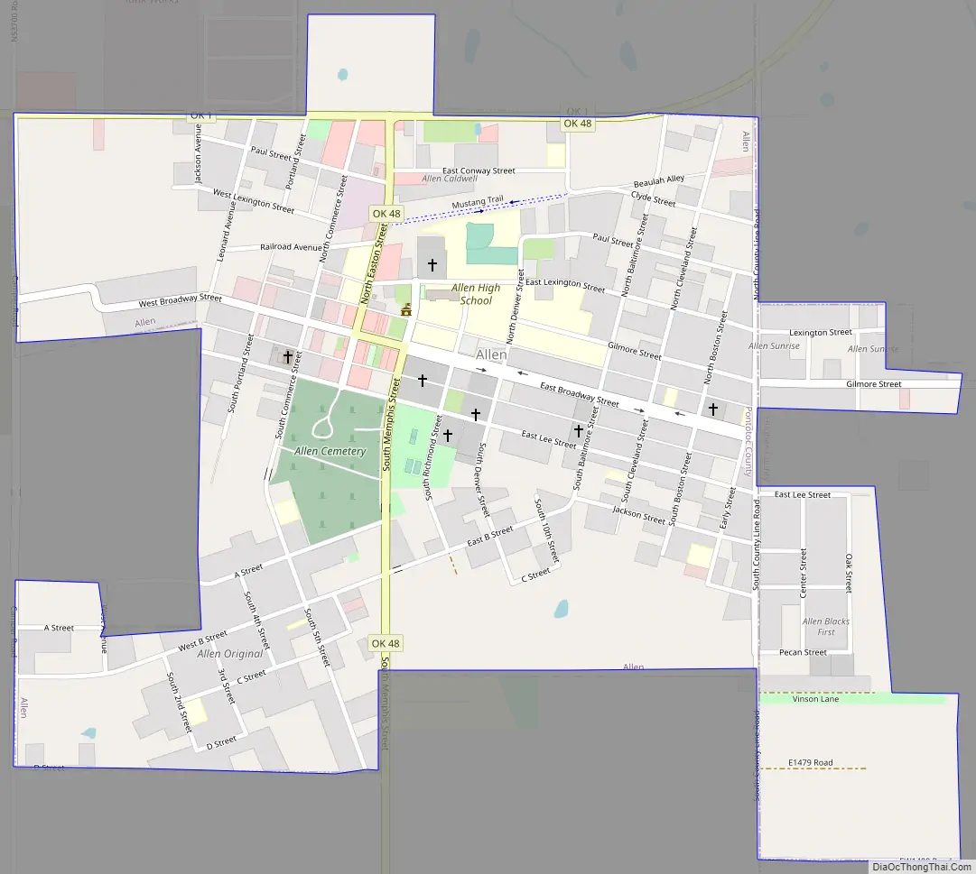
Allen Road Map
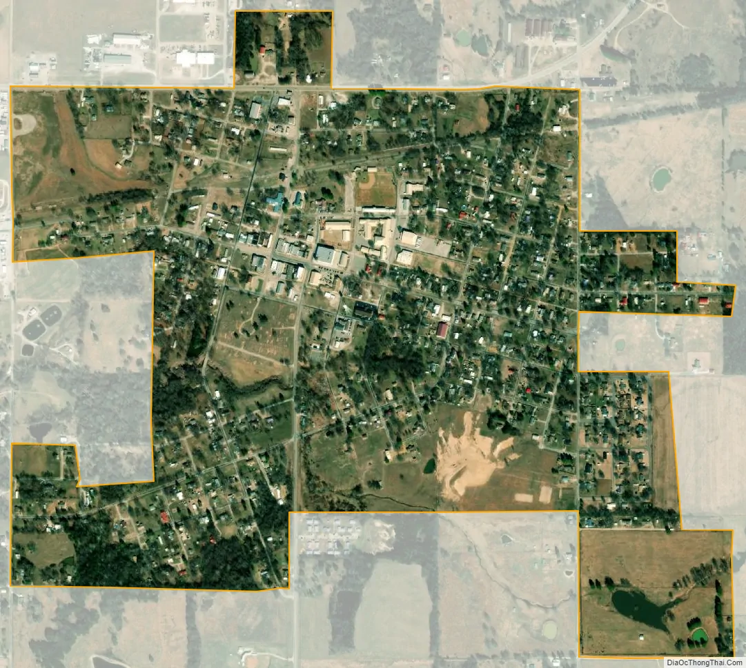
Allen city Satellite Map
Geography
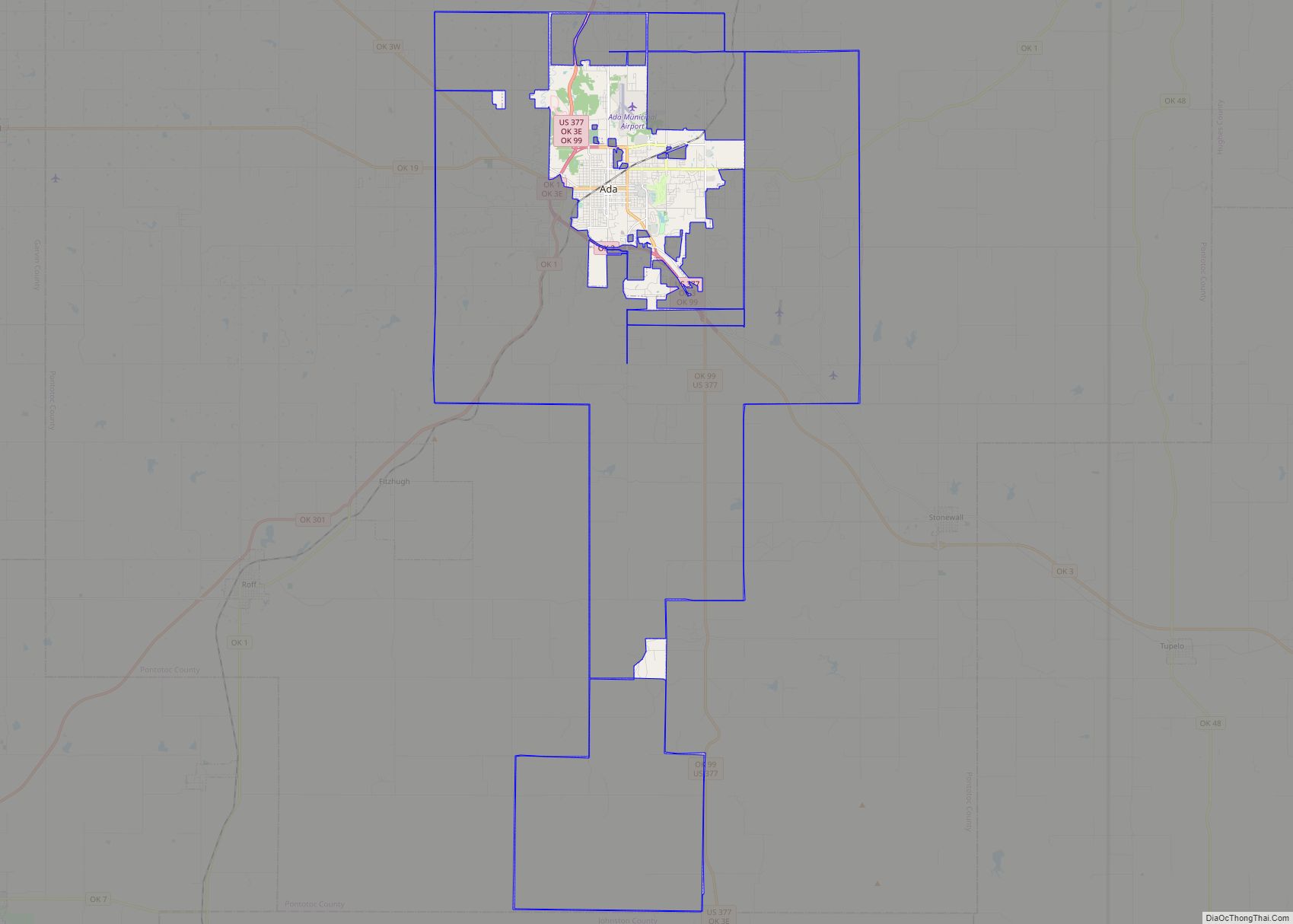
Allen is located on State Highway 1, approximately 19 miles (31 km) northeast of Ada, which is the county seat of Pontotoc County.
According to the United States Census Bureau, the town has a total area of 0.9 square mile (2.4 km), all land.
See also
Map of Oklahoma State and its subdivision:- Adair
- Alfalfa
- Atoka
- Beaver
- Beckham
- Blaine
- Bryan
- Caddo
- Canadian
- Carter
- Cherokee
- Choctaw
- Cimarron
- Cleveland
- Coal
- Comanche
- Cotton
- Craig
- Creek
- Custer
- Delaware
- Dewey
- Ellis
- Garfield
- Garvin
- Grady
- Grant
- Greer
- Harmon
- Harper
- Haskell
- Hughes
- Jackson
- Jefferson
- Johnston
- Kay
- Kingfisher
- Kiowa
- Latimer
- Le Flore
- Lincoln
- Logan
- Love
- Major
- Marshall
- Mayes
- McClain
- McCurtain
- McIntosh
- Murray
- Muskogee
- Noble
- Nowata
- Okfuskee
- Oklahoma
- Okmulgee
- Osage
- Ottawa
- Pawnee
- Payne
- Pittsburg
- Pontotoc
- Pottawatomie
- Pushmataha
- Roger Mills
- Rogers
- Seminole
- Sequoyah
- Stephens
- Texas
- Tillman
- Tulsa
- Wagoner
- Washington
- Washita
- Woods
- Woodward
- Alabama
- Alaska
- Arizona
- Arkansas
- California
- Colorado
- Connecticut
- Delaware
- District of Columbia
- Florida
- Georgia
- Hawaii
- Idaho
- Illinois
- Indiana
- Iowa
- Kansas
- Kentucky
- Louisiana
- Maine
- Maryland
- Massachusetts
- Michigan
- Minnesota
- Mississippi
- Missouri
- Montana
- Nebraska
- Nevada
- New Hampshire
- New Jersey
- New Mexico
- New York
- North Carolina
- North Dakota
- Ohio
- Oklahoma
- Oregon
- Pennsylvania
- Rhode Island
- South Carolina
- South Dakota
- Tennessee
- Texas
- Utah
- Vermont
- Virginia
- Washington
- West Virginia
- Wisconsin
- Wyoming