Byng is a town in Pontotoc County, Oklahoma, United States. The population was 1,175 at the 2010 census.
| Name: | Byng town |
|---|---|
| LSAD Code: | 43 |
| LSAD Description: | town (suffix) |
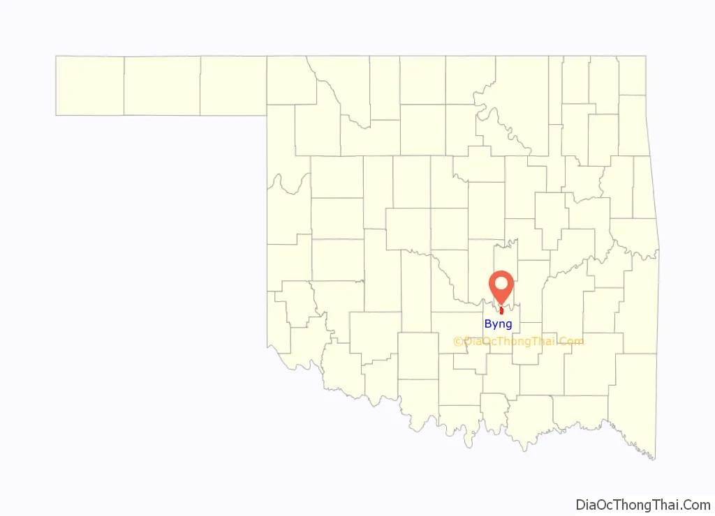
| State: | Oklahoma |
| County: | Pontotoc County |
| Elevation: | 974 ft (297 m) |
| Total Area: | 6.52 sq mi (16.89 km²) |
| Land Area: | 6.52 sq mi (16.89 km²) |
| Water Area: | 0.00 sq mi (0.00 km²) |
| Total Population: | 1,393 |
| Population Density: | 213.58/sq mi (82.46/km²) |
| FIPS code: | 4010600 |
| GNISfeature ID: | 1090774 |
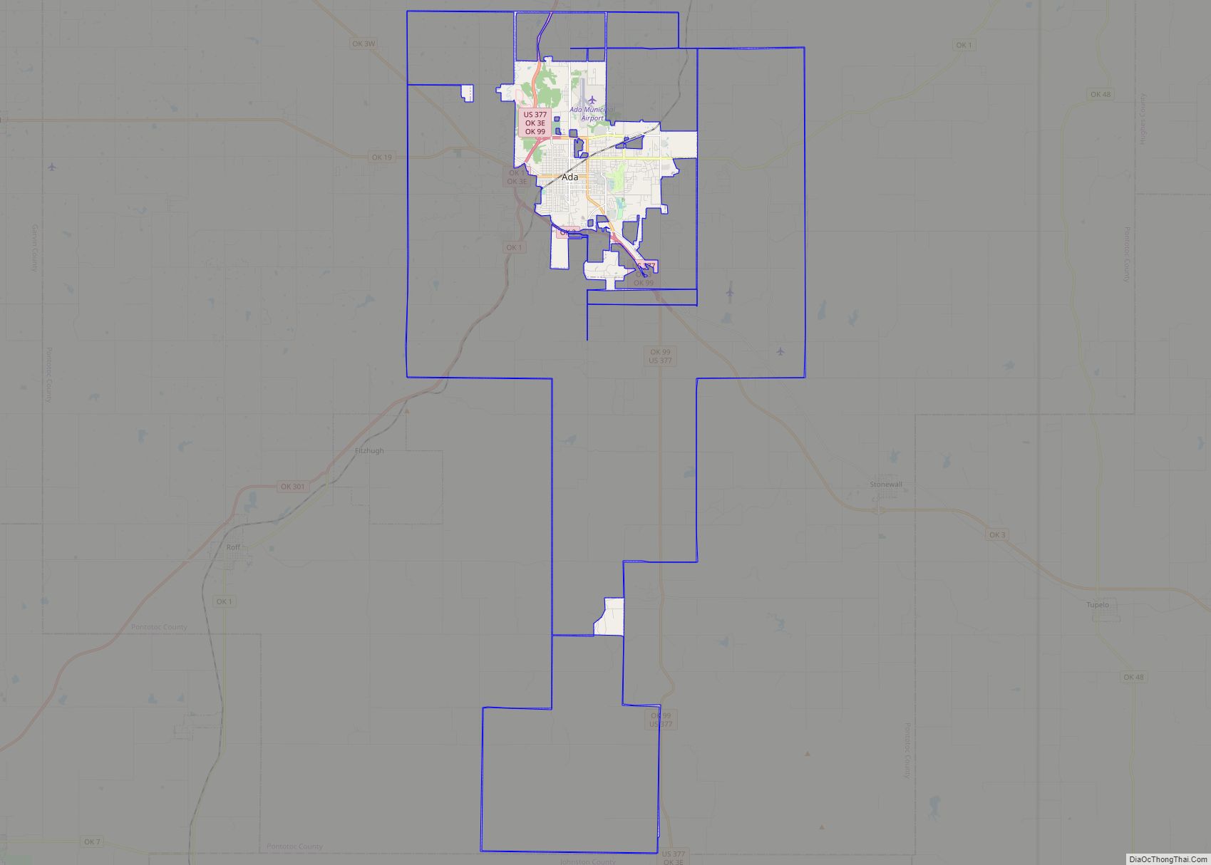
Online Interactive Map
Click on ![]() to view map in "full screen" mode.
to view map in "full screen" mode.
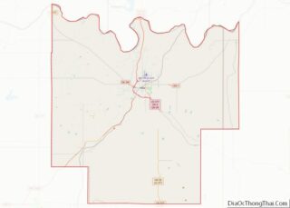
Byng location map. Where is Byng town?

History
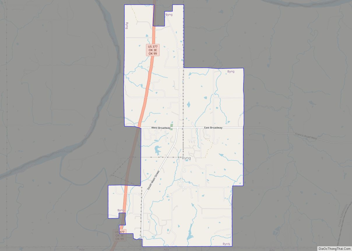
The beginnings of the town of Byng were established in 1917 with the building of a post office and power plant (about five miles north of Ada). The post office and power plant were named to honor the World War I exploits of British General Julian Byng who commanded the Canadian Corps and was later Governor General of Canada. The town was not formally formed until 1922 when the remains of two other communities were merged into Byng. Tyrola, about a mile north of Byng was almost wiped out by a flooding of the South Canadian River in 1914. New Bethel, also approximately a mile north of present-day Byng, but lying east of Tyrola, had also been formed. The school at New Bethel and the school at Tyrola were combined to create New Bethel Consolidated Number 3 in 1925, and the name was changed to Byng in 1929. The town incorporated in 1972.
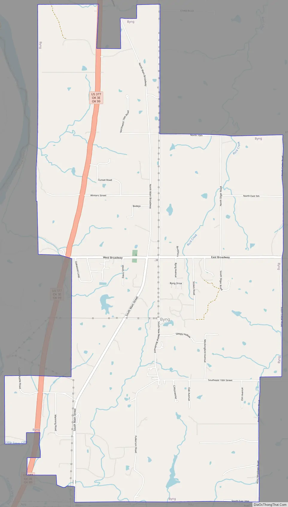
Byng Road Map
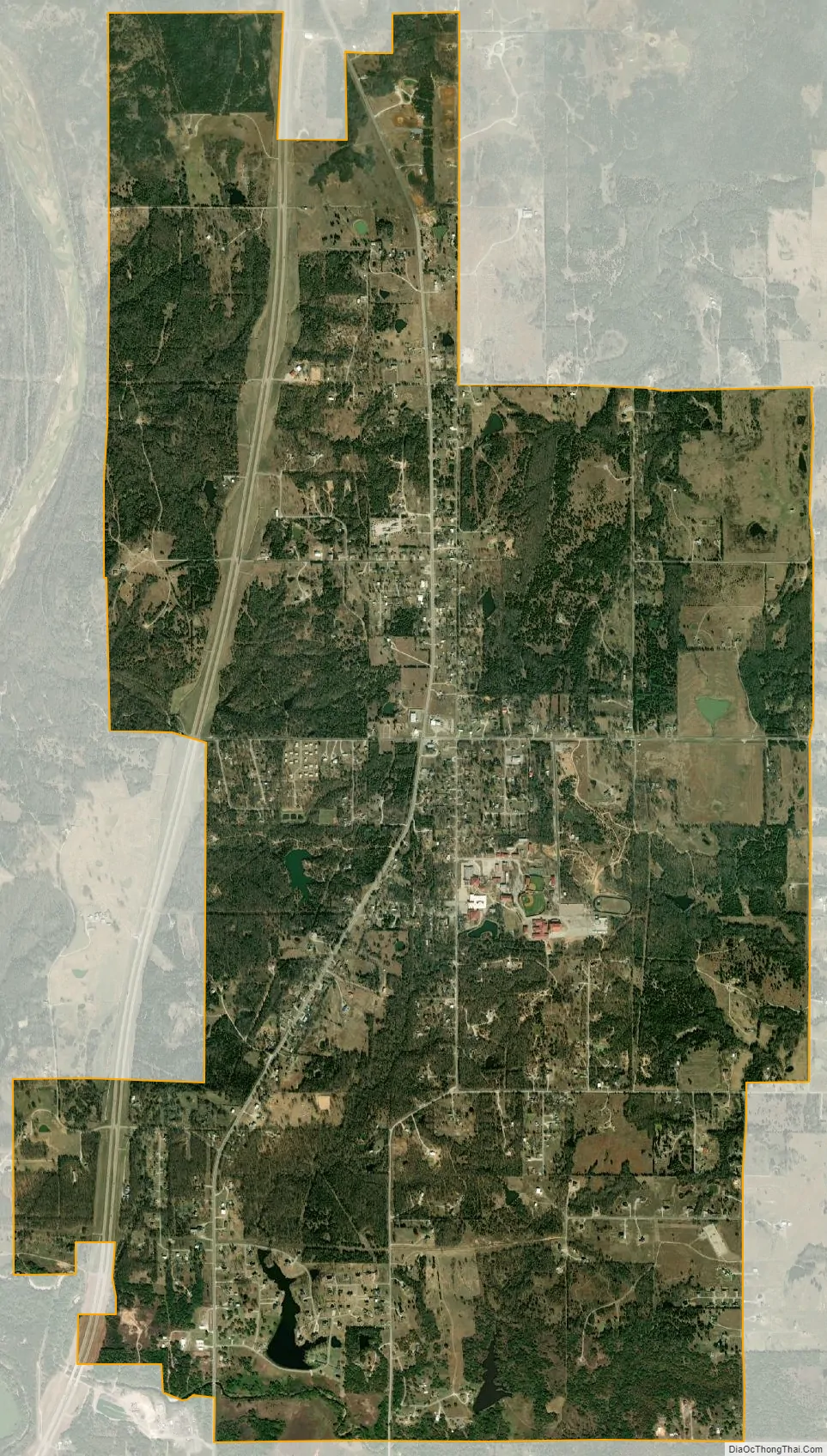
Byng city Satellite Map
Geography
Byng is located at 34°51′46″N 96°40′8″W / 34.86278°N 96.66889°W / 34.86278; -96.66889 (34.862761, -96.668820). According to the United States Census Bureau, the town has a total area of 6.5 square miles (17 km), all land.
The town is on U.S. Route 377. Ada is to the south, while the town of Konawa, as well as Lake Konawa, are to the north-northwest.
See also
Map of Oklahoma State and its subdivision:- Adair
- Alfalfa
- Atoka
- Beaver
- Beckham
- Blaine
- Bryan
- Caddo
- Canadian
- Carter
- Cherokee
- Choctaw
- Cimarron
- Cleveland
- Coal
- Comanche
- Cotton
- Craig
- Creek
- Custer
- Delaware
- Dewey
- Ellis
- Garfield
- Garvin
- Grady
- Grant
- Greer
- Harmon
- Harper
- Haskell
- Hughes
- Jackson
- Jefferson
- Johnston
- Kay
- Kingfisher
- Kiowa
- Latimer
- Le Flore
- Lincoln
- Logan
- Love
- Major
- Marshall
- Mayes
- McClain
- McCurtain
- McIntosh
- Murray
- Muskogee
- Noble
- Nowata
- Okfuskee
- Oklahoma
- Okmulgee
- Osage
- Ottawa
- Pawnee
- Payne
- Pittsburg
- Pontotoc
- Pottawatomie
- Pushmataha
- Roger Mills
- Rogers
- Seminole
- Sequoyah
- Stephens
- Texas
- Tillman
- Tulsa
- Wagoner
- Washington
- Washita
- Woods
- Woodward
- Alabama
- Alaska
- Arizona
- Arkansas
- California
- Colorado
- Connecticut
- Delaware
- District of Columbia
- Florida
- Georgia
- Hawaii
- Idaho
- Illinois
- Indiana
- Iowa
- Kansas
- Kentucky
- Louisiana
- Maine
- Maryland
- Massachusetts
- Michigan
- Minnesota
- Mississippi
- Missouri
- Montana
- Nebraska
- Nevada
- New Hampshire
- New Jersey
- New Mexico
- New York
- North Carolina
- North Dakota
- Ohio
- Oklahoma
- Oregon
- Pennsylvania
- Rhode Island
- South Carolina
- South Dakota
- Tennessee
- Texas
- Utah
- Vermont
- Virginia
- Washington
- West Virginia
- Wisconsin
- Wyoming