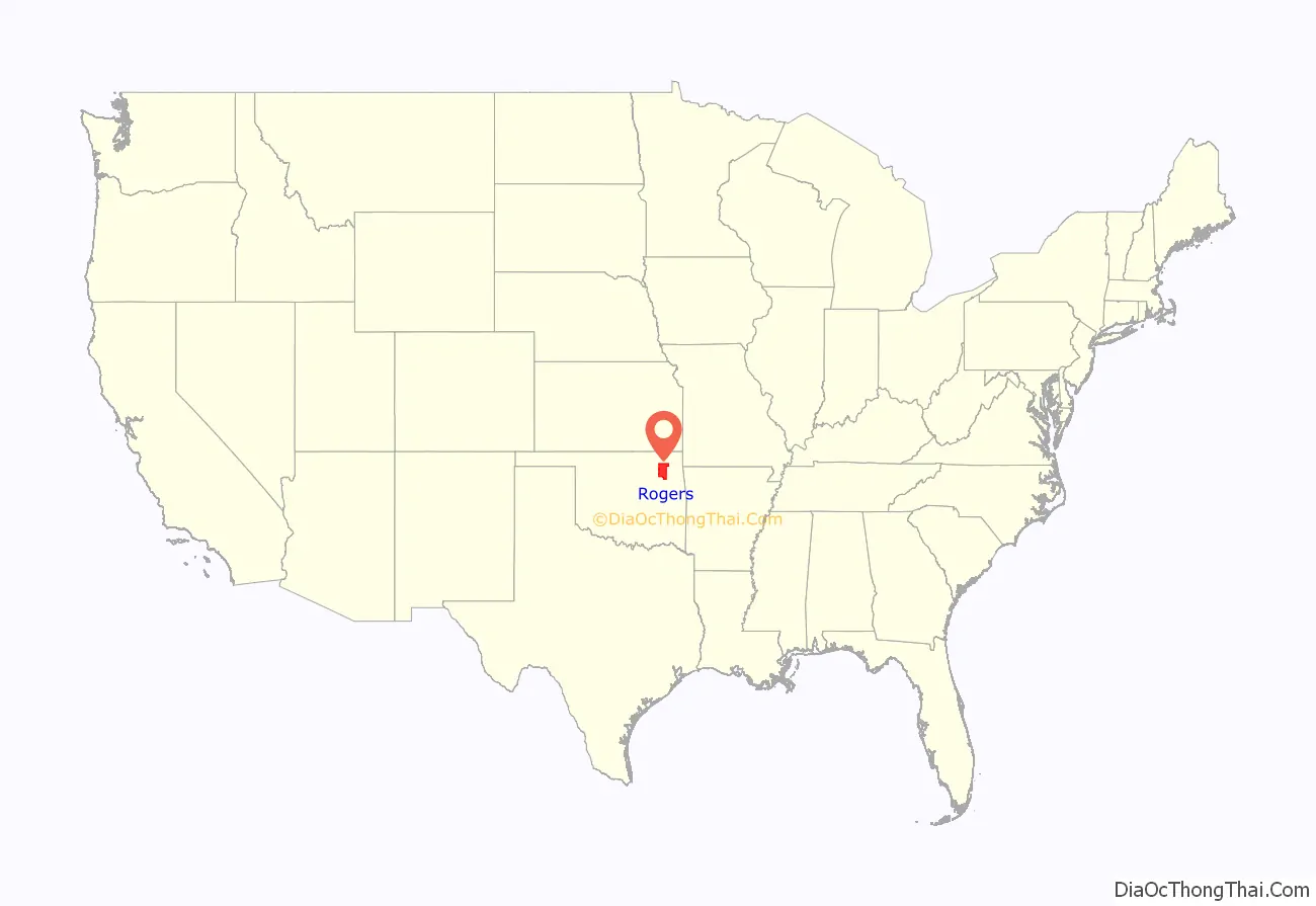
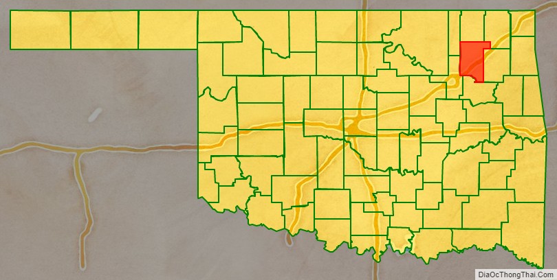
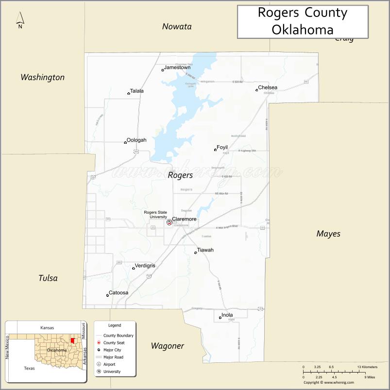
Rogers County is located in the northeastern part of the U.S. state of Oklahoma. As of the 2020 census, the population was 95,240, making it the sixth-most populous county in Oklahoma. The county seat is Claremore. Rogers County is included in the Tulsa, OK Metropolitan Statistical Area.
Created in 1907 from the western Saline District of the Cherokee Nation, this area was named the Cooweescoowee District, and Cooweescoowee County at the time of statehood. However, the residents protested, and the name was changed to Rogers County, after Clem Vann Rogers, a prominent Cherokee rancher, and father of Will Rogers.
| Name: | Rogers County |
|---|---|
| FIPS code: | 40-131 |
| State: | Oklahoma |
| Founded: | January 26, 1907 |
| Named for: | Clement Vann Rogers |
| Seat: | Claremore |
| Largest city: | Claremore |
| Total Area: | 711 sq mi (1,840 km²) |
| Land Area: | 676 sq mi (1,750 km²) |
| Total Population: | 95,240 |
| Population Density: | 140.9/sq mi (54.4/km²) |
| Time zone: | UTC−6 (Central) |
| Summer Time Zone (DST): | UTC−5 (CDT) |
| Website: | www.rogerscounty.org |
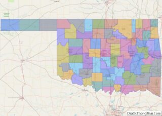
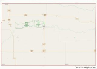
Rogers County location map. Where is Rogers County?
History
According to the Encyclopedia of Oklahoma History and Culture, the Arkansas Band of the Osage Nation settled in the Three Forks area (the junction of the Arkansas River, Grand River, and Verdigris River during the 1760s and established two villages called Pasuga and Pasona in what is now Rogers County. Pasona was near an ancient earthwork platform mound near the Verdigris River. It was later called Claremore Mound, to honor Osage chief Claremore (aka Gra-mon in Osage, meaning Arrow Going Home; his name was first recorded by French colonists as Clermont.)
In 1828, Cherokee bands who had left the Southeast early exchanged their Arkansas land for an area that included present-day Rogers County. This had been ceded by the Osage in 1825 under a treaty to the United States. The area became organized by the Cherokee Nation as the Saline District of their portion of Indian Territory. In 1907 the western portion of that district was organized as the Cooweescoowee District.
Upon statehood in 1908, the district was designated as a county named Cooweescoowee. Residents supported renaming the county in honor of Clement Vann Rogers, an early Cherokee settler and prominent rancher here.
Shortly after statehood, Eastern University Preparatory School was established on College Hill, just west of Claremore, Oklahoma. The Oklahoma Military Academy, established in 1919, took over the facility. In 1971 the academy was closed and the facility was converted for use by Claremore Junior College. As a four-year curriculum and graduate departments were added, the state legislature renamed the institution as Rogers State College and Rogers University, before settling in 1998 on the current Rogers State University.
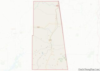
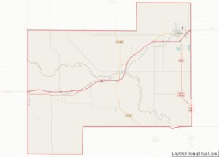
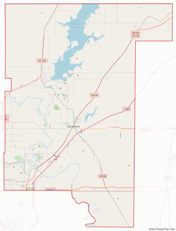
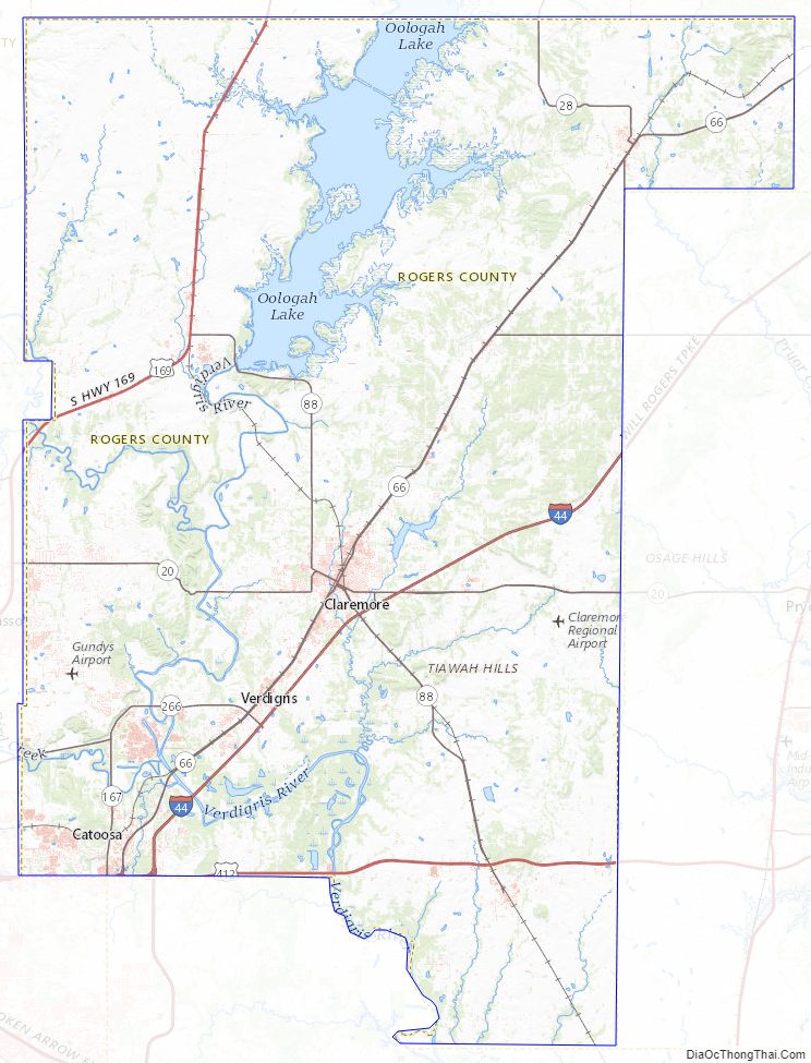
Rogers County Road Map
Geography
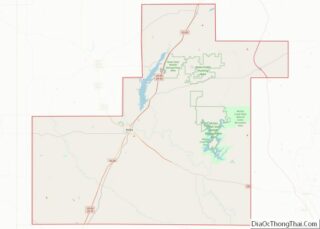
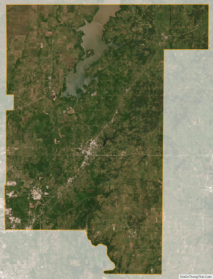
According to the U.S. Census Bureau, the county has a total area of 711 square miles (1,840 km), of which 676 square miles (1,750 km) is land and 36 square miles (93 km) (5.0%) is water. The largest body of water is Lake Oologah. The main streams are the Caney River and the Verdigris River. There are also several smaller creeks and lakes in the county.
Adjacent counties
- Nowata County (north)
- Craig County (northeast)
- Mayes County (east)
- Wagoner County (south)
- Tulsa County (southwest)
- Washington County (northwest)
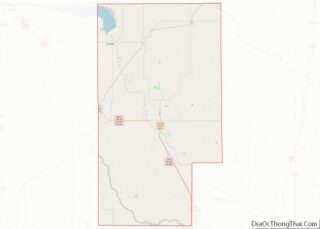
Rogers County Topographic Map
Rogers County Satellite Map
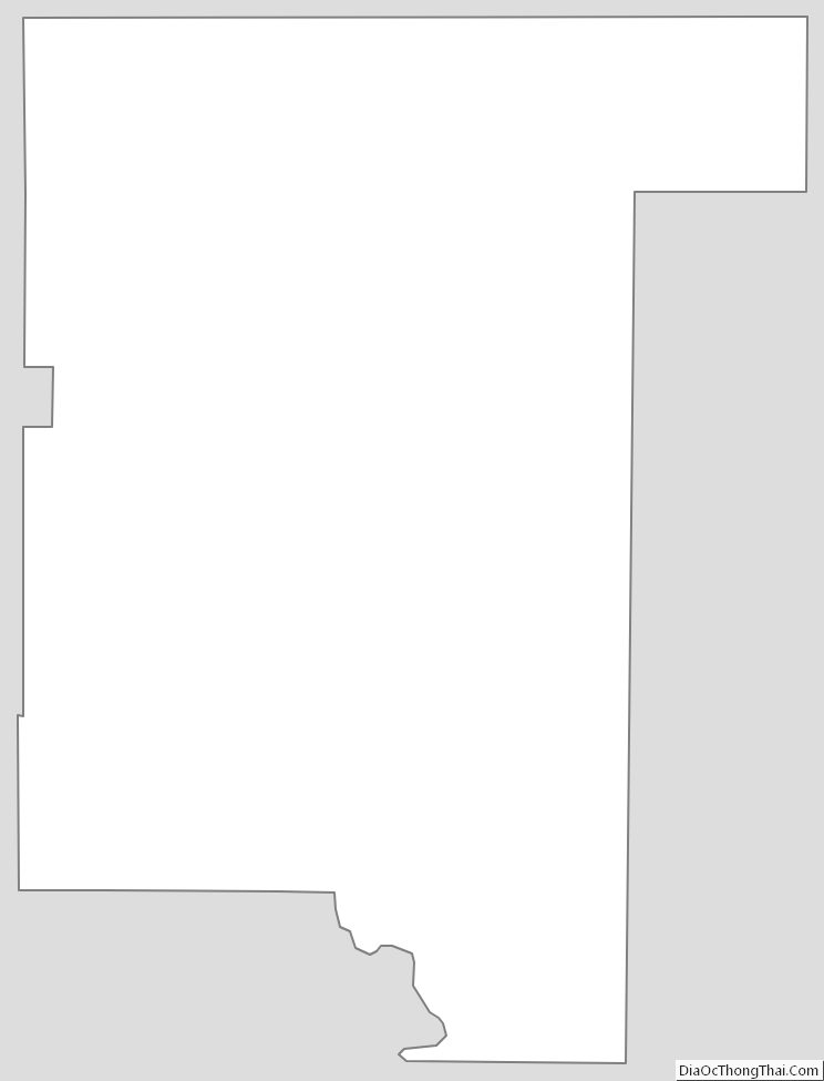
Rogers County Outline Map