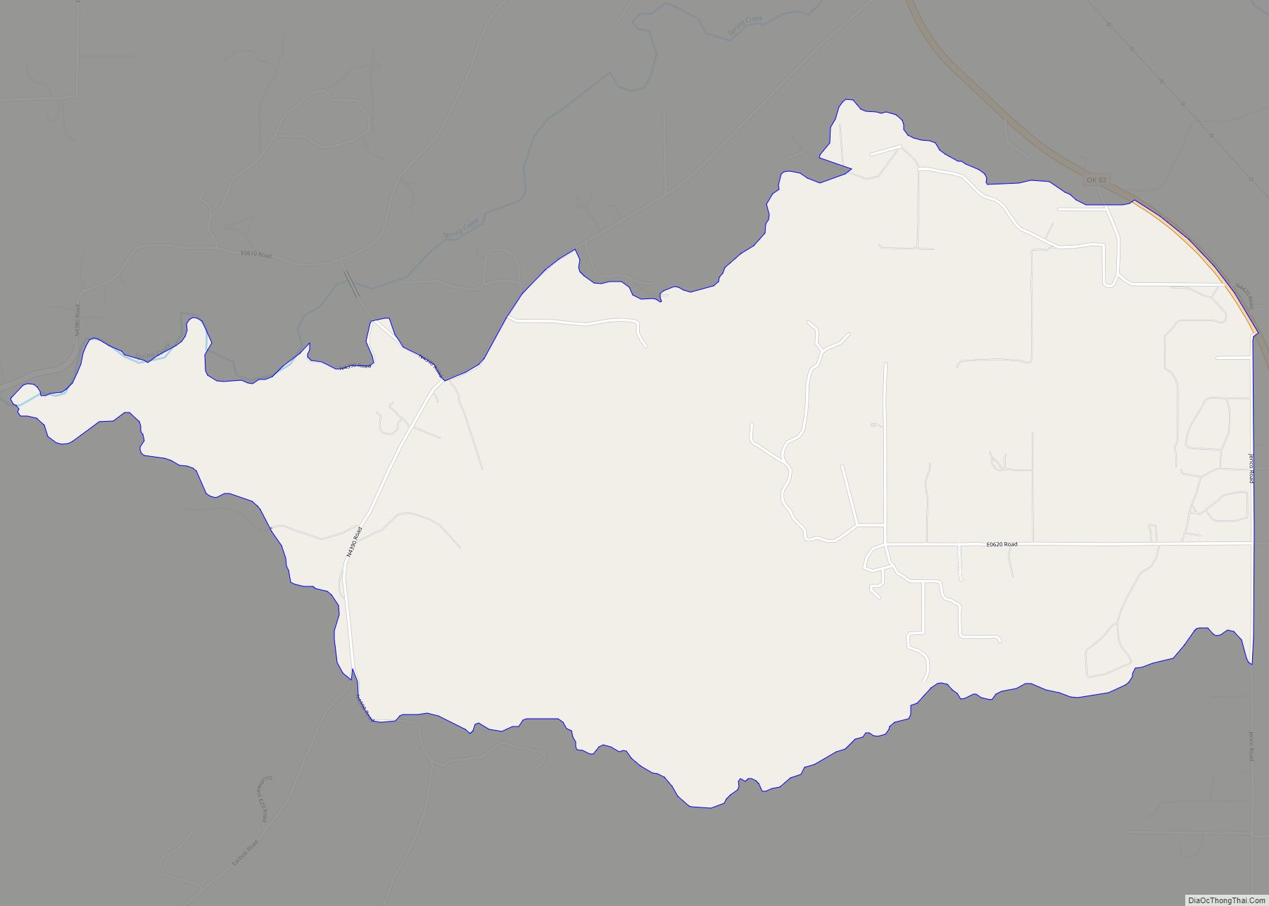
Mayes County is a county located in the U.S. state of Oklahoma. As of the 2010 census, the population was 41,259. Its county seat is Pryor Creek. Named for Samuel Houston Mayes, Principal Chief of the Cherokee Nation from 1895 to 1899, it was originally created at the Sequoyah Convention in August 1905.
| Name: | Mayes County |
|---|---|
| FIPS code: | 40-097 |
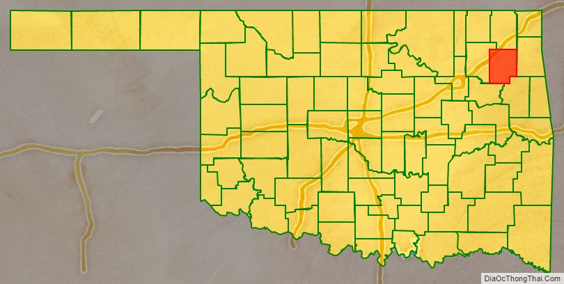
| State: | Oklahoma |
| Founded: | November 16, 1907 |
| Named for: | Samuel Houston Mayes |
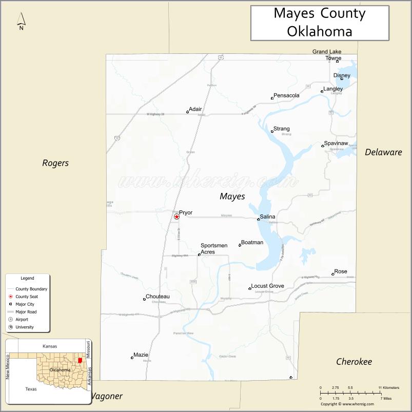
| Seat: | Pryor Creek |
| Largest city: | Pryor Creek |
| Total Area: | 684 sq mi (1,770 km²) |
| Land Area: | 655 sq mi (1,700 km²) |
| Total Population: | 41,259 |
| Population Density: | 63/sq mi (24/km²) |
| Time zone: | UTC−6 (Central) |
| Summer Time Zone (DST): | UTC−5 (CDT) |
| Website: | mayes.okcounties.org |
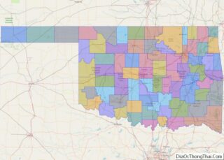
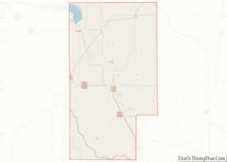
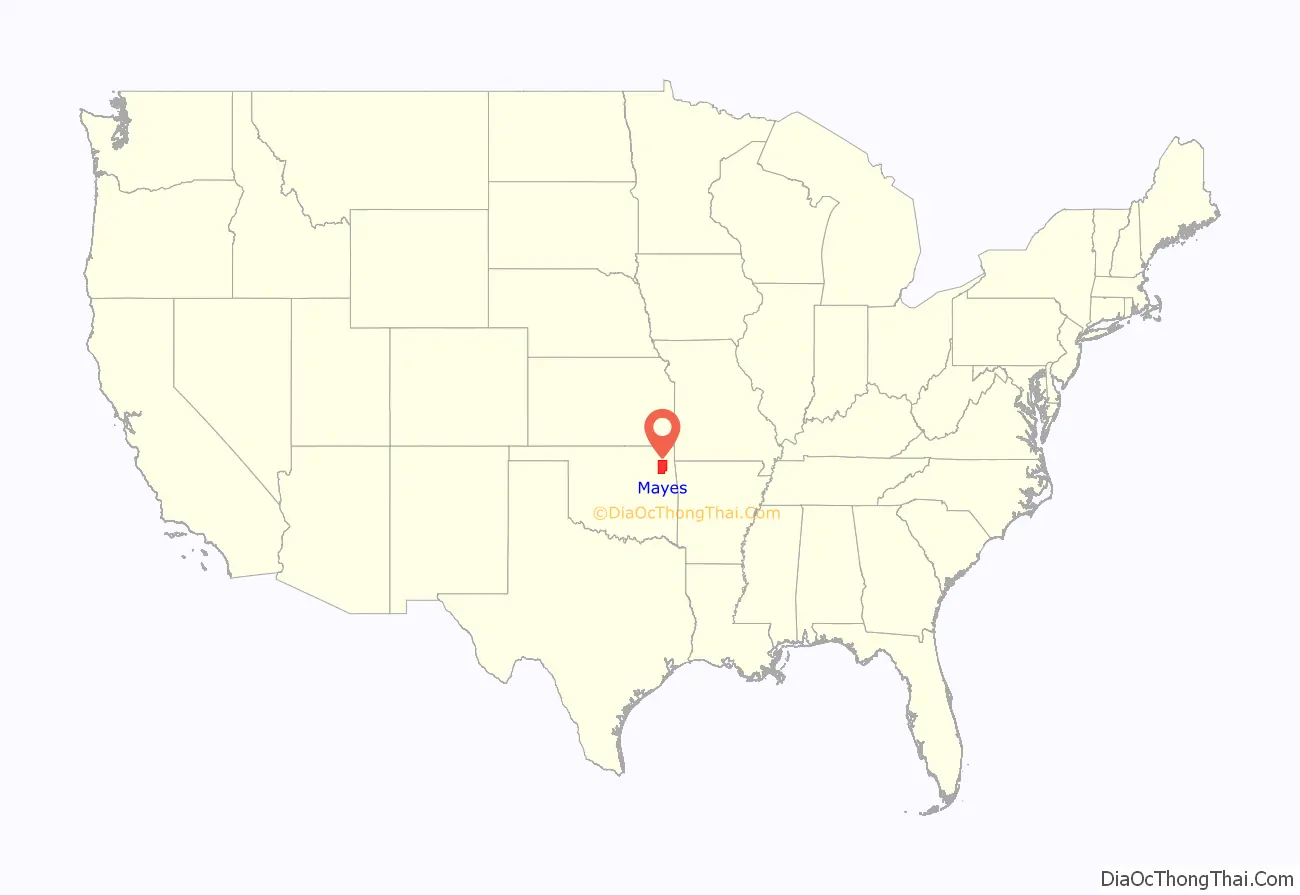
Mayes County location map. Where is Mayes County?
History
According to the Encyclopedia of Oklahoma History and Culture, the area covered by what is now Mayes County has many prehistoric sites. There is evidence of human habitation dated before 6,000 B. C., plus 35 Archaic sites ( 6,000 B. C to 1 A. D.), 25 Woodland sites (1 A. D. to 1000 A. D.) and 31 Plains Village sites (1000 A. D. to 1500 A. D.
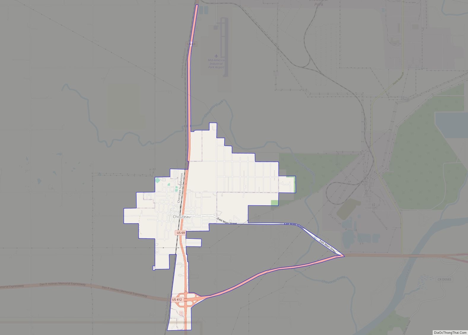
French voyageurs roamed the area in the early 18th Century, giving French names to many of the waterways and other local sites. Jean Pierre Chouteau established a trading post at the location of the present town of Salina, where he chiefly traded with the Osage tribe that had settled in the vicinity. Union Mission, near the present day town of Chouteau, Oklahoma was established in 1820. Rev. Samuel Worcestor set up the first printing press in this part of the United States at Union Mission in 1835.
In 1828, members of the Western Cherokee Nation began arriving in the area from their former lands in Arkansas. The Eastern Cherokee, who were forced from their homes in Tennessee, Georgia and North Carolina, followed during the 1830s. In 1841, the present Mayes County area became part of the Saline District of the Cherokee Nation.
This area of Oklahoma experienced some military activity during the Civil War. A 300-man Union Army force surprised an equally large Confederate unit near the present site of Locust Grove, Oklahoma in July 1862. The Union force prevailed and captured about one third of the Confederates, while the remainder escaped. In July 1863, Confederate General Stand Watie tried to capture a Union supply train headed to Fort Gibson. Federal forces under Colonel James Williams successfully defended the train and drove off Watie’s men. This action was thereafter known as the First Battle of Cabin Creek. In September 1864, General Watie and General Richard Gano did capture a Union supply train in the same location. This was named the Second Battle of Cabin Creek. Colonel James Williams led a detachment that recovered the wagon train in a skirmish near Pryor Creek. The Confederate force escaped.
After the Civil War, transportation improvements opened up the area’s economy. The East Shawnee Trail, and early cattle trail followed the route of the Grand River. The Texas Road came through later. In 1871 to 1872, the Missouri-Kansas-Texas Railroad built its track through the present county. The Missouri, Oklahoma and Gulf Railway (later, the Kansas, Oklahoma and Gulf Railway) built a line in 1913 that joined the Katy system at Strang, Oklahoma.
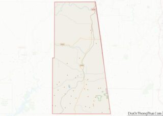
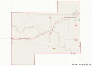
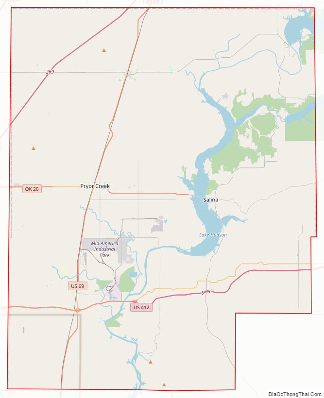
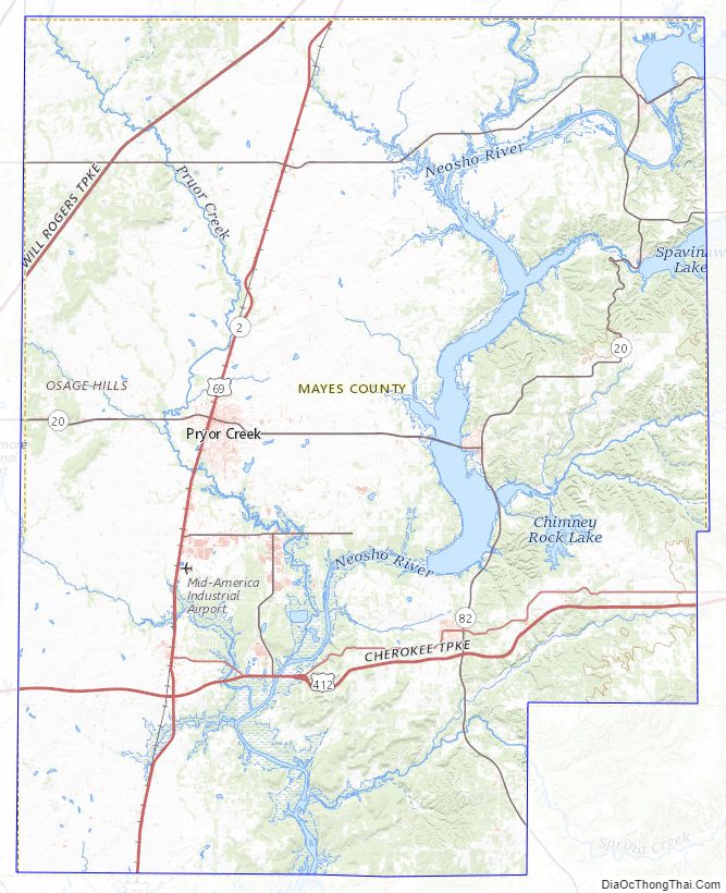
Mayes County Road Map
Geography
According to the U.S. Census Bureau, the county has a total area of 684 square miles (1,770 km), of which 655 square miles (1,700 km) is land and 28 square miles (73 km) (4.1%) is water.
The county is bisected by the Grand River. The eastern half of the county is on the Ozark Plateau, with flat areas divided by deep stream valleys. The western half is in the Prairie Plains.
The county contains several man-made major reservoirs, including:
- Lake Fort Gibson;
- Lake Spavinaw;
- Grand Lake o’ the Cherokees;
- Lake Hudson;
- Salina Pumped Storage Project.
Lake Spavinaw is owned by the city of Tulsa and is the principal source of water for the city. The other three reservoirs were built by the Federal Government primarily for flood control and hydroelectric power generation. They are managed by the Grand River Dam Authority (GRDA). GRDA also manages the GRDA Coal-fired power generation station.
Major highways
- Interstate 44
- U.S. Highway 69
- U.S. Highway 412
- State Highway 20
- State Highway 28
- State Highway 82
Adjacent counties
- Craig County (north)
- Delaware County (east)
- Cherokee County (southeast)
- Wagoner County (south)
- Rogers County (west)
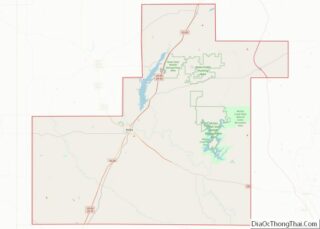
Mayes County Topographic Map
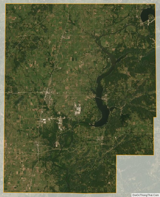
Mayes County Satellite Map
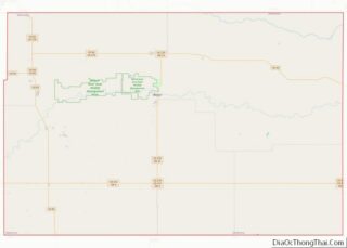
Mayes County Outline Map