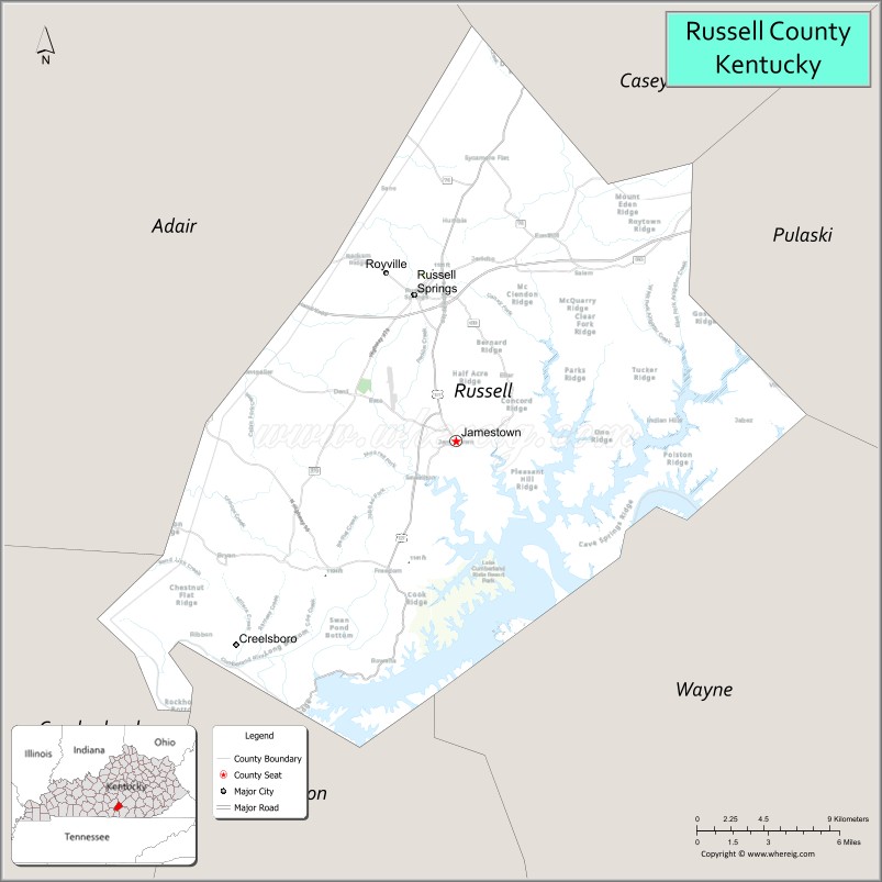
Russell County is a county located in the U.S. Commonwealth of Kentucky. As of the 2020 census, the population was 17,991. Its county seat is Jamestown and its largest city is Russell Springs. The county was formed on December 14, 1825, from portions of Adair, Cumberland and Wayne Counties and is named for William Russell.
In 2015, the cities of Jamestown and Russell Springs became two of the first gigabit Internet communities in Kentucky with the completion of a state-of-the-art optical fiber network by the local telephone cooperative.
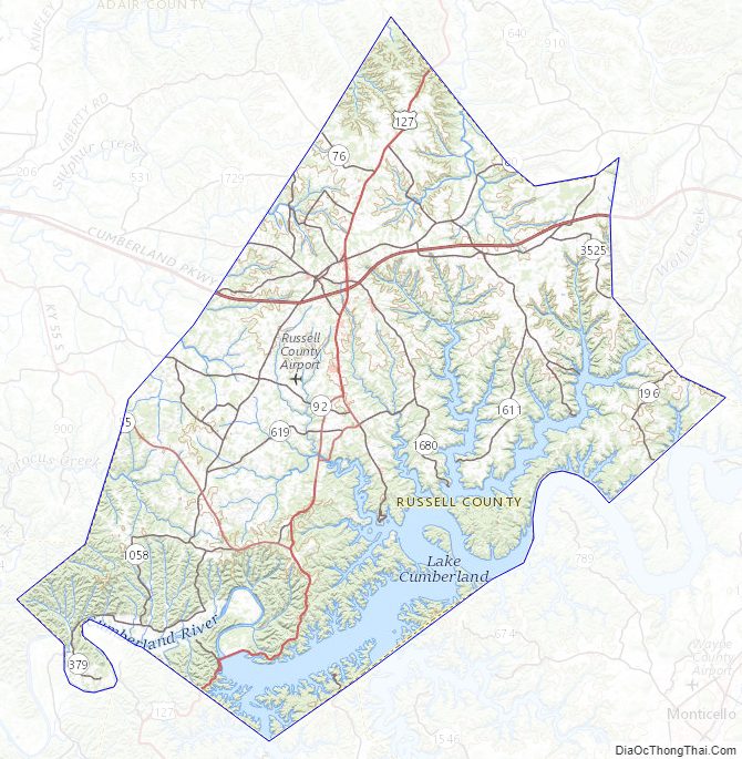
Wolf Creek Dam is located in southern Russell County. The dam impounds Cumberland River to form Lake Cumberland, a major tourism attraction for the county. Wolf Creek National Fish Hatchery is also located in Russell County just below the dam.
Until relatively recently Russell County was a dry county, meaning that the sale of alcohol was prohibited. It voted to go “wet” in a referendum held on January 19, 2016, by a margin of 3,833 to 3,423 votes.
| Name: | Russell County |
|---|---|
| FIPS code: | 21-207 |
| State: | Kentucky |
| Founded: | December 14, 1825 |
| Named for: | William Russell |
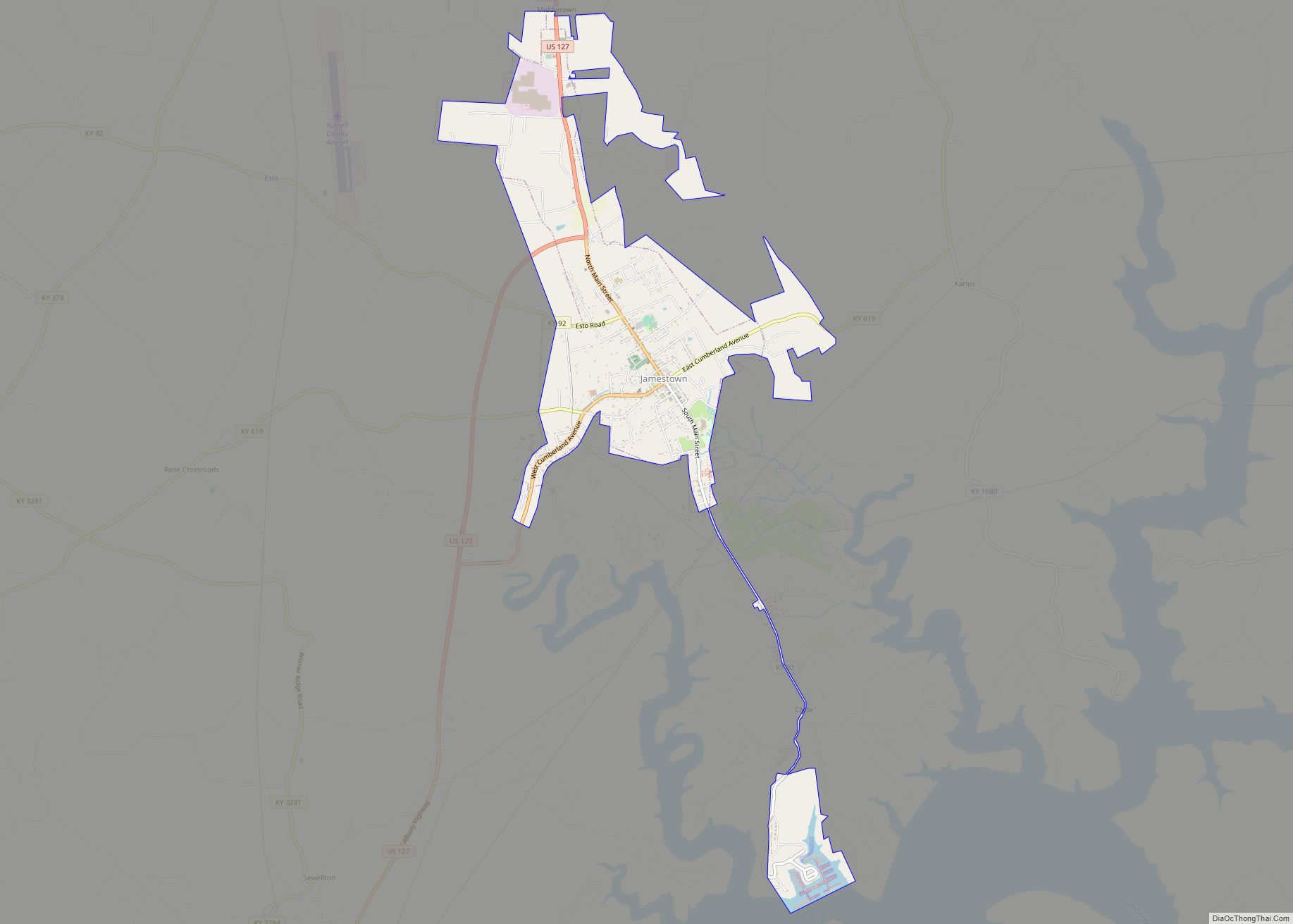
| Seat: | Jamestown |
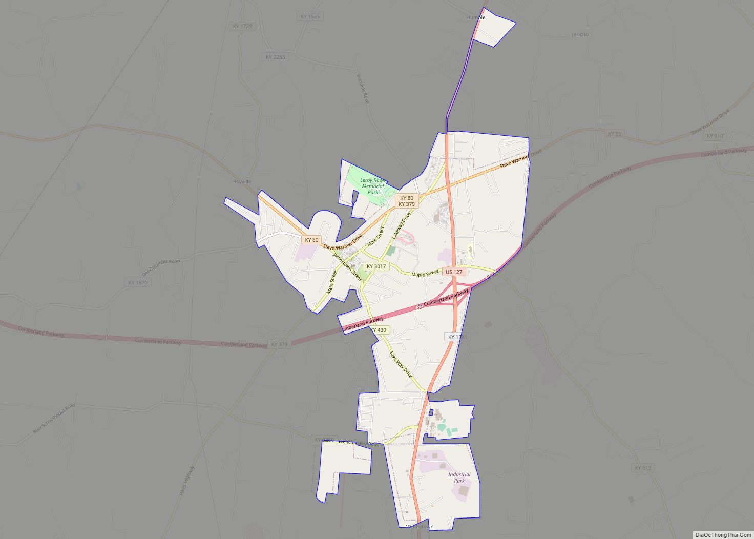
| Largest city: | Russell Springs |
| Total Area: | 283 sq mi (730 km²) |
| Land Area: | 254 sq mi (660 km²) |
| Total Population: | 17,991 |
| Population Density: | 64/sq mi (25/km²) |
| Time zone: | UTC−6 (Central) |
| Summer Time Zone (DST): | UTC−5 (CDT) |
| Website: | www.russellcountyky.com |
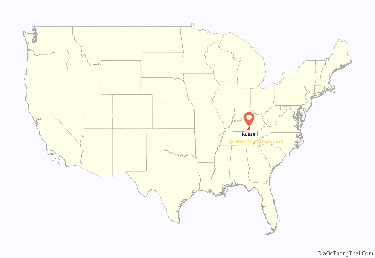
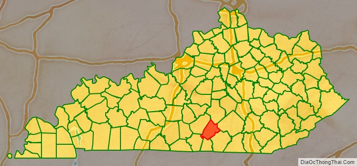
Russell County location map. Where is Russell County?
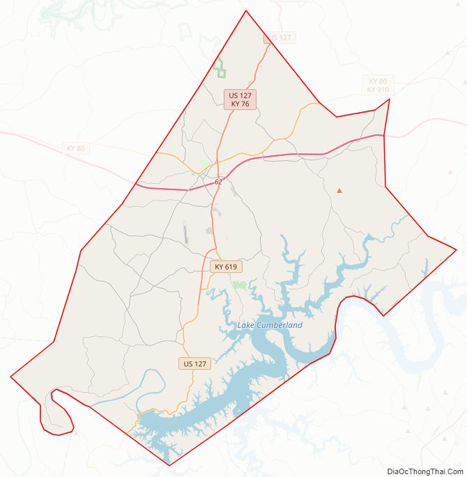
Russell County Road Map
Geography
According to the United States Census Bureau, the county has a total area of 283 square miles (730 km), of which 254 square miles (660 km) is land and 29 square miles (75 km) (10%) is water. The highest point is 1,140 feet (350 m) atop Dickerson Ridge in the extreme northern part of the county and the lowest point is 530 feet (160 m) along the Cumberland River.
Major highways
- Cumberland Parkway
- U.S. Route 127 in Kentucky
- Kentucky Route 80
Adjacent counties
- Casey County (north/EST Border)
- Pulaski County (northeast/EST Border)
- Wayne County (southeast/EST Border)
- Clinton County (south)
- Cumberland County (southwest)
- Adair County (west)
Russell County Topographic Map
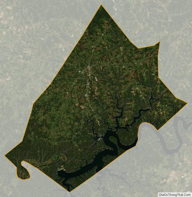
Russell County Satellite Map
Russell County Outline Map