Batesburg-Leesville is a town located in Lexington and Saluda counties, South Carolina, United States. The town’s population was 5,362 as of the 2010 census and an estimated 5,415 in 2019.
| Name: | Batesburg-Leesville town |
|---|---|
| LSAD Code: | 43 |
| LSAD Description: | town (suffix) |
| State: | South Carolina |
| County: | Lexington County, Saluda County |
| Elevation: | 643 ft (196 m) |
| Total Area: | 8.29 sq mi (21.48 km²) |
| Land Area: | 8.20 sq mi (21.23 km²) |
| Water Area: | 0.10 sq mi (0.26 km²) |
| Total Population: | 5,270 |
| Population Density: | 643.08/sq mi (248.28/km²) |
| ZIP code: | 29006, 29070 |
| FIPS code: | 4504300 |
| GNISfeature ID: | 1692657 |
| Website: | www.batesburg-leesville.org |
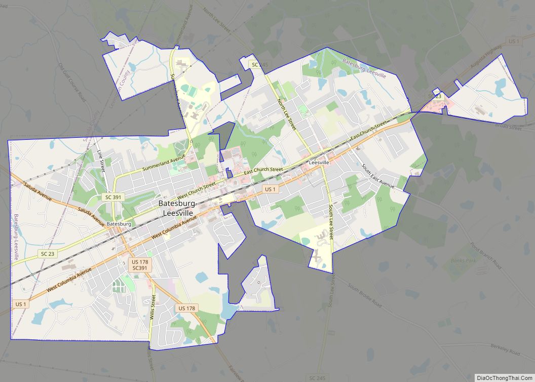
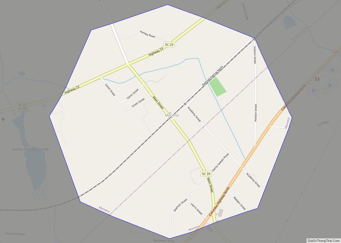
Online Interactive Map
Click on ![]() to view map in "full screen" mode.
to view map in "full screen" mode.
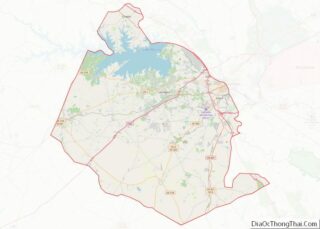
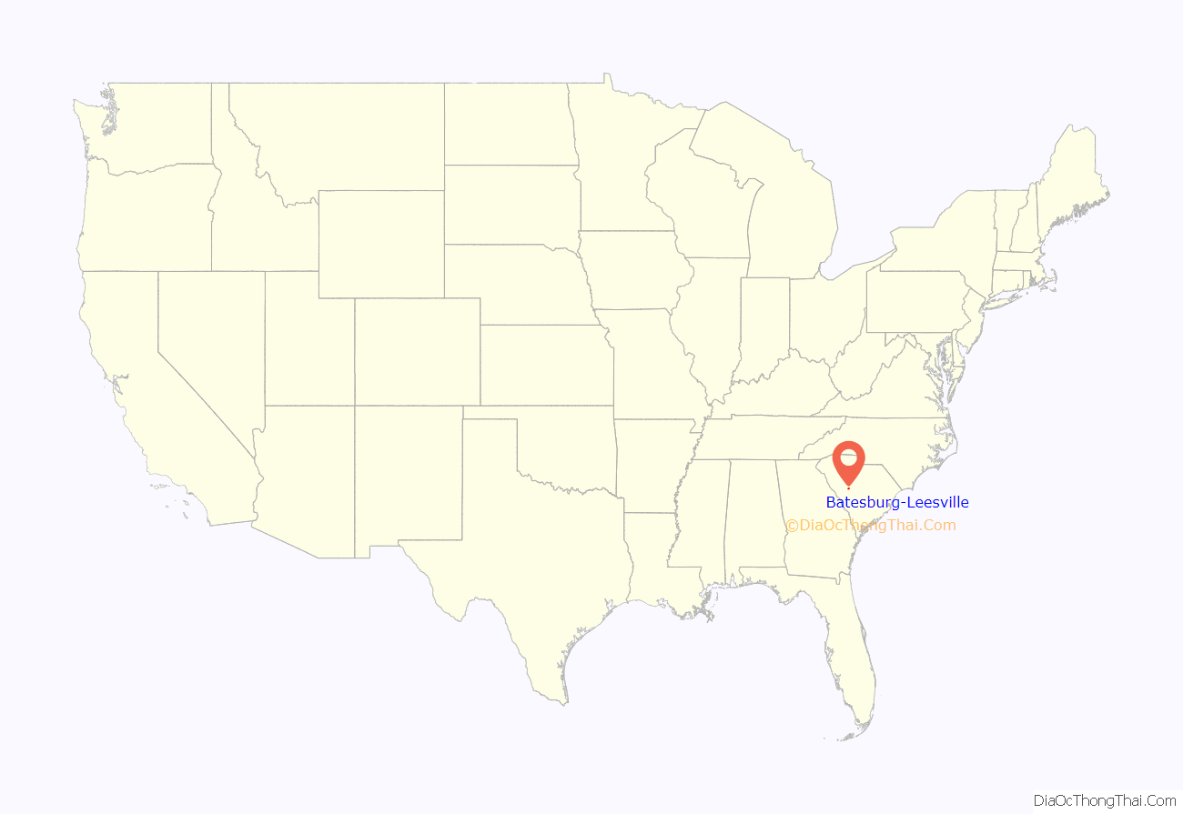
Batesburg-Leesville location map. Where is Batesburg-Leesville town?

History
The town of Batesburg-Leesville was formed in 1992 by the consolidation of the neighboring towns of Batesburg and Leesville. Batesburg was “named for Captain Tom Bates, a prominent citizen of the community and a captain in The American Civil War.” Leesville was “named for Colonel John W. Lee, a prominent resident of the community.”
The D. D. D. Barr House, Batesburg Commercial Historic District, Simon Bouknight House, Cartledge House, Cedar Grove Lutheran Church, Church Street Historic District, Broadus Edwards House, Hampton Hendrix Office, Hartley House, Henry Franklin Hendrix House, Thomas Galbraith Herbert House, J.B. Holman House, A.C. Jones House, Leesville College Historic District, Crowell Mitchell House, McKendree Mitchell House, Mitchell-Shealy House, Old Batesburg Grade School, John Jacob Rawl House, Rawl-Couch House, Southern Railway Depot, and Rev. Frank Yarborough House are listed on the National Register of Historic Places.
In February 1946, Sergeant Isaac Woodard, a black World War II veteran, was removed from a bus in Batesburg and severely beaten by local police officers, including Chief Lynwood Shull. The assault left Woodard completely and permanently blind. Woodard was traveling home by Greyhound bus after being honorably discharged from Camp Gordon in Augusta, Georgia, the bus driver having reported Woodard to local police in Batesburg-Leesville after a verbal argument between the two. Due to South Carolina’s reluctance to pursue the case, President Harry S. Truman ordered a federal investigation. The sheriff, Lynwood Shull, was indicted and went to trial in federal court in South Carolina, where he was acquitted by an all-white jury. Such miscarriages of justice by state governments influenced a move towards civil rights initiatives at the federal level. Truman subsequently established a national interracial commission, made a historic speech to the NAACP and the nation in June 1947 in which he described civil rights as a moral priority, submitted a civil rights bill to Congress in February 1948, and issued Executive Orders 9980 and 9981 on June 26, 1948, desegregating the armed forces and the federal government. The attack was the subject of radio commentaries by Orson Welles in July and August 1946.
In early 2018, the town of Batesburg-Leesville, with Town Attorney Christian Spradley, Police Chief W. Wallace Oswald, and Mayor Lancer Shull (no relation to Linwood Shull), reopened the Woodard case to consider dismissing the 1946 charges. During a regular term of municipal court on June 5, 2018, the Woodard case was reopened and the charges were dismissed by Town Judge Robert Cook. A permanent historic plaque now stands on the corner of West Church Street and Fulmer Street in old Batesburg commemorating the civil rights incident at the site of the original police station.
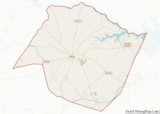
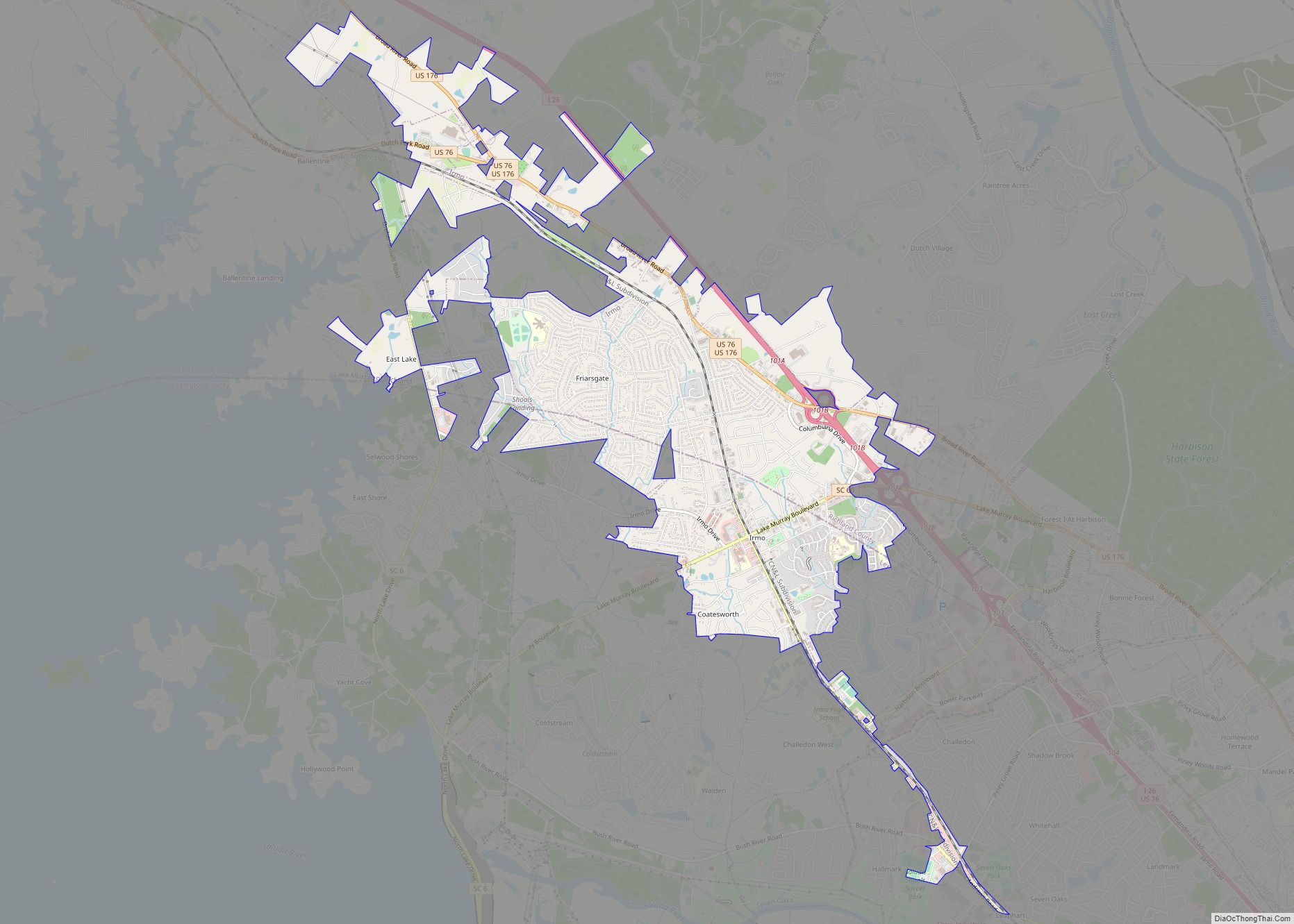
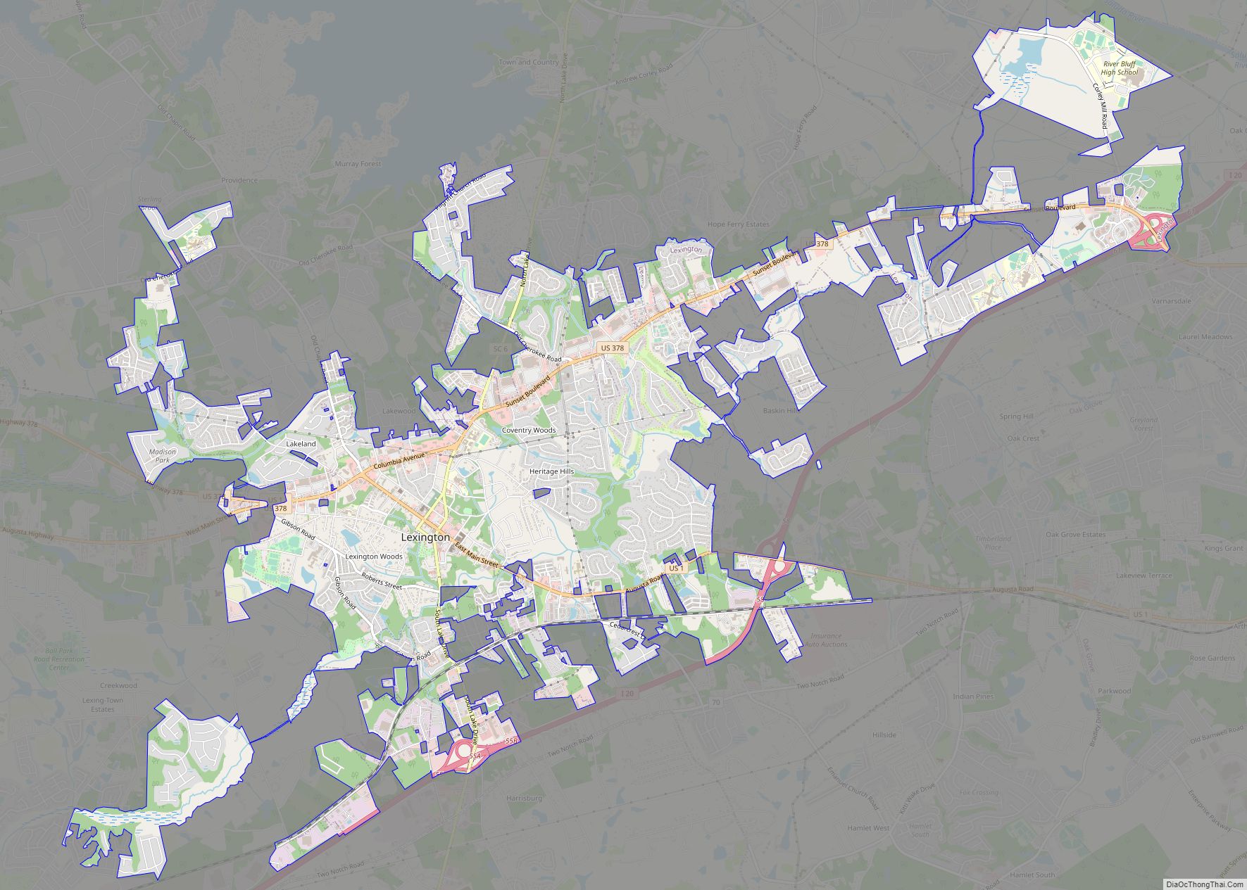
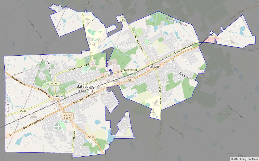
Batesburg-Leesville Road Map
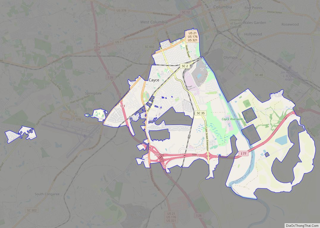
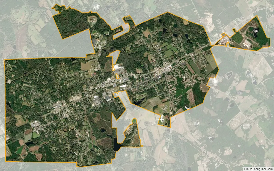
Batesburg-Leesville city Satellite Map
Geography
Batesburg-Leesville is located in western Lexington County at 33°54′38″N 81°32′14″W / 33.91056°N 81.53722°W / 33.91056; -81.53722 (33.909767, -81.534296). A small portion of the town extends west into Saluda County.
According to the United States Census Bureau, the town has a total area of 8.3 sq mi (21.5 km), of which 0.1 sq mi (0.3 km), or 1.19%, are covered by water.
Batesburg-Leesville is located along the Atlantic Seaboard Fall Line which separates the Piedmont region from the Atlantic coastal plain. Historically, U.S. Route 1 followed this line, and it presently separates the north and south sides of the duel town. Typically in this vicinity, the Piedmont area has a clay soil surface, while the Coastal Plain is sandy.
See also
Map of South Carolina State and its subdivision:- Abbeville
- Aiken
- Allendale
- Anderson
- Bamberg
- Barnwell
- Beaufort
- Berkeley
- Calhoun
- Charleston
- Cherokee
- Chester
- Chesterfield
- Clarendon
- Colleton
- Darlington
- Dillon
- Dorchester
- Edgefield
- Fairfield
- Florence
- Georgetown
- Greenville
- Greenwood
- Hampton
- Horry
- Jasper
- Kershaw
- Lancaster
- Laurens
- Lee
- Lexington
- Marion
- Marlboro
- McCormick
- Newberry
- Oconee
- Orangeburg
- Pickens
- Richland
- Saluda
- Spartanburg
- Sumter
- Union
- Williamsburg
- York
- Alabama
- Alaska
- Arizona
- Arkansas
- California
- Colorado
- Connecticut
- Delaware
- District of Columbia
- Florida
- Georgia
- Hawaii
- Idaho
- Illinois
- Indiana
- Iowa
- Kansas
- Kentucky
- Louisiana
- Maine
- Maryland
- Massachusetts
- Michigan
- Minnesota
- Mississippi
- Missouri
- Montana
- Nebraska
- Nevada
- New Hampshire
- New Jersey
- New Mexico
- New York
- North Carolina
- North Dakota
- Ohio
- Oklahoma
- Oregon
- Pennsylvania
- Rhode Island
- South Carolina
- South Dakota
- Tennessee
- Texas
- Utah
- Vermont
- Virginia
- Washington
- West Virginia
- Wisconsin
- Wyoming