San Jacinto County (/ˌsæn dʒəˈsɪntoʊ/ SAN jə-SIN-toh) is a county in the U.S. state of Texas. As of the 2020 census, its population was 27,402. Its county seat is Coldspring. The county’s name comes from the Battle of San Jacinto which secured Texas’ independence from Mexico and established a republic in 1836.
| Name: | San Jacinto County |
|---|---|
| FIPS code: | 48-407 |
| State: | Texas |
| Founded: | 1870 |
| Named for: | Battle of San Jacinto |
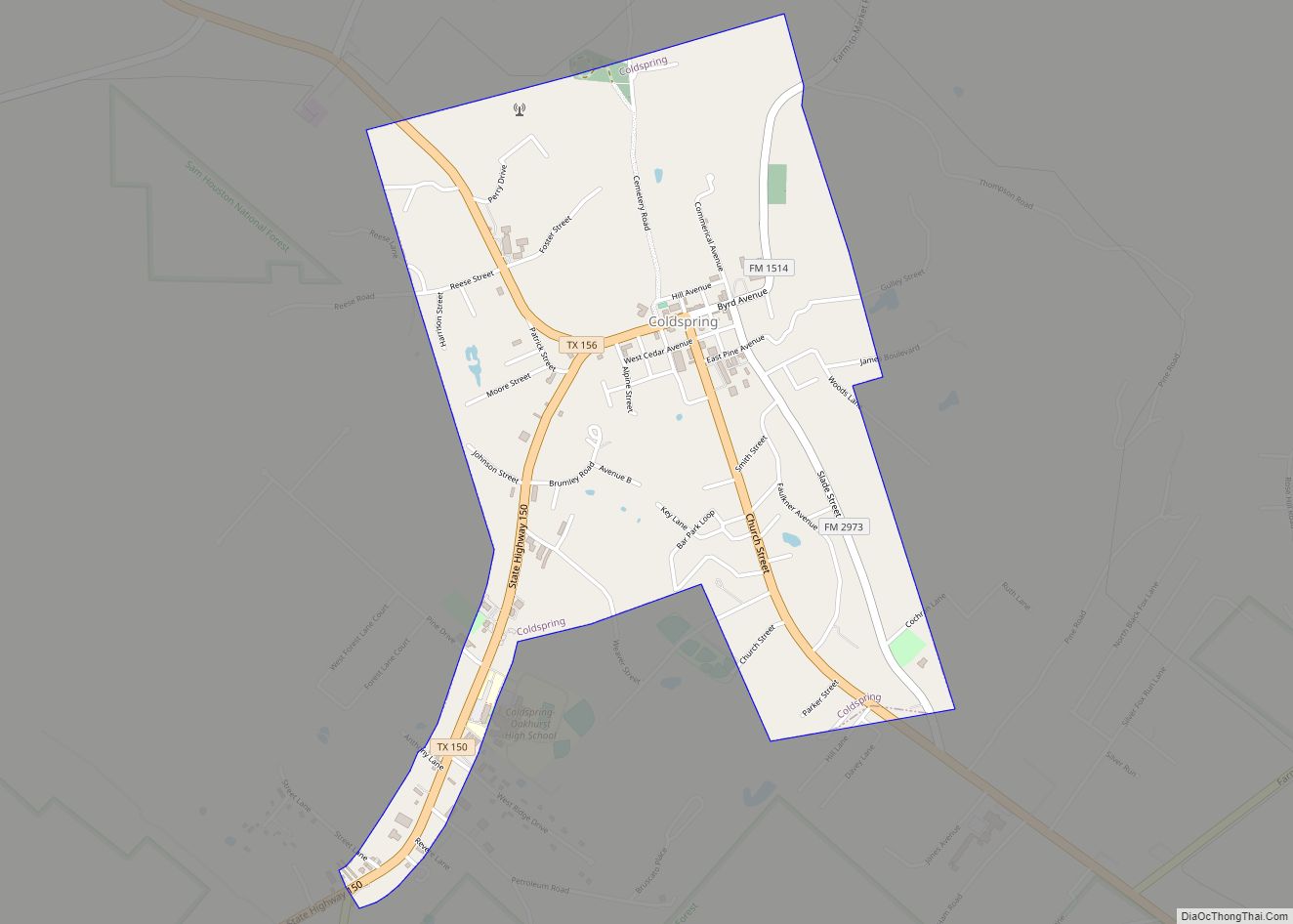
| Seat: | Coldspring |
| Largest city: | Shepherd |
| Total Area: | 628 sq mi (1,630 km²) |
| Land Area: | 569 sq mi (1,470 km²) |
| Total Population: | 27,402 |
| Population Density: | 44/sq mi (17/km²) |
| Time zone: | UTC−6 (Central) |
| Summer Time Zone (DST): | UTC−5 (CDT) |
| Website: | www.co.san-jacinto.tx.us |
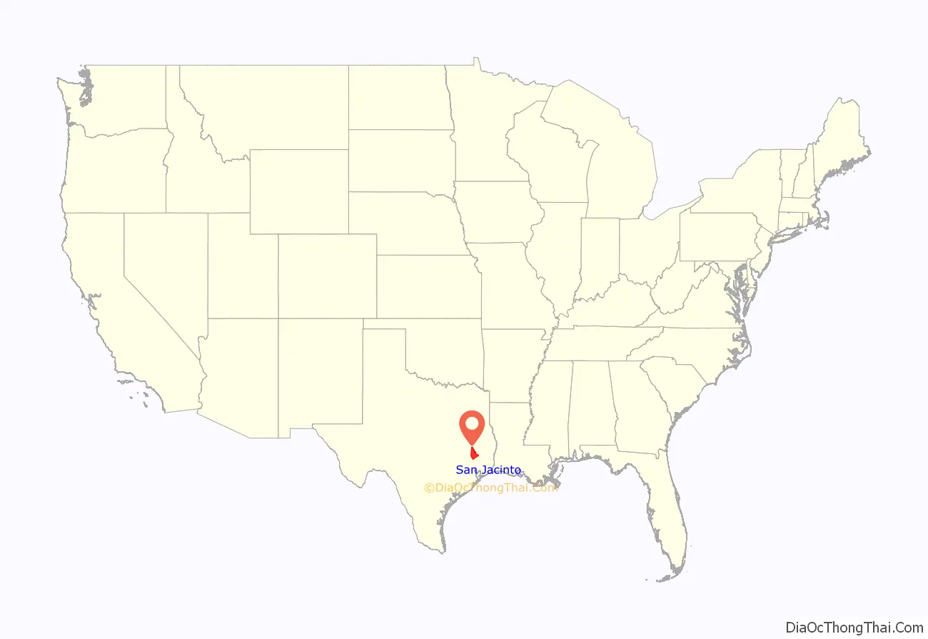
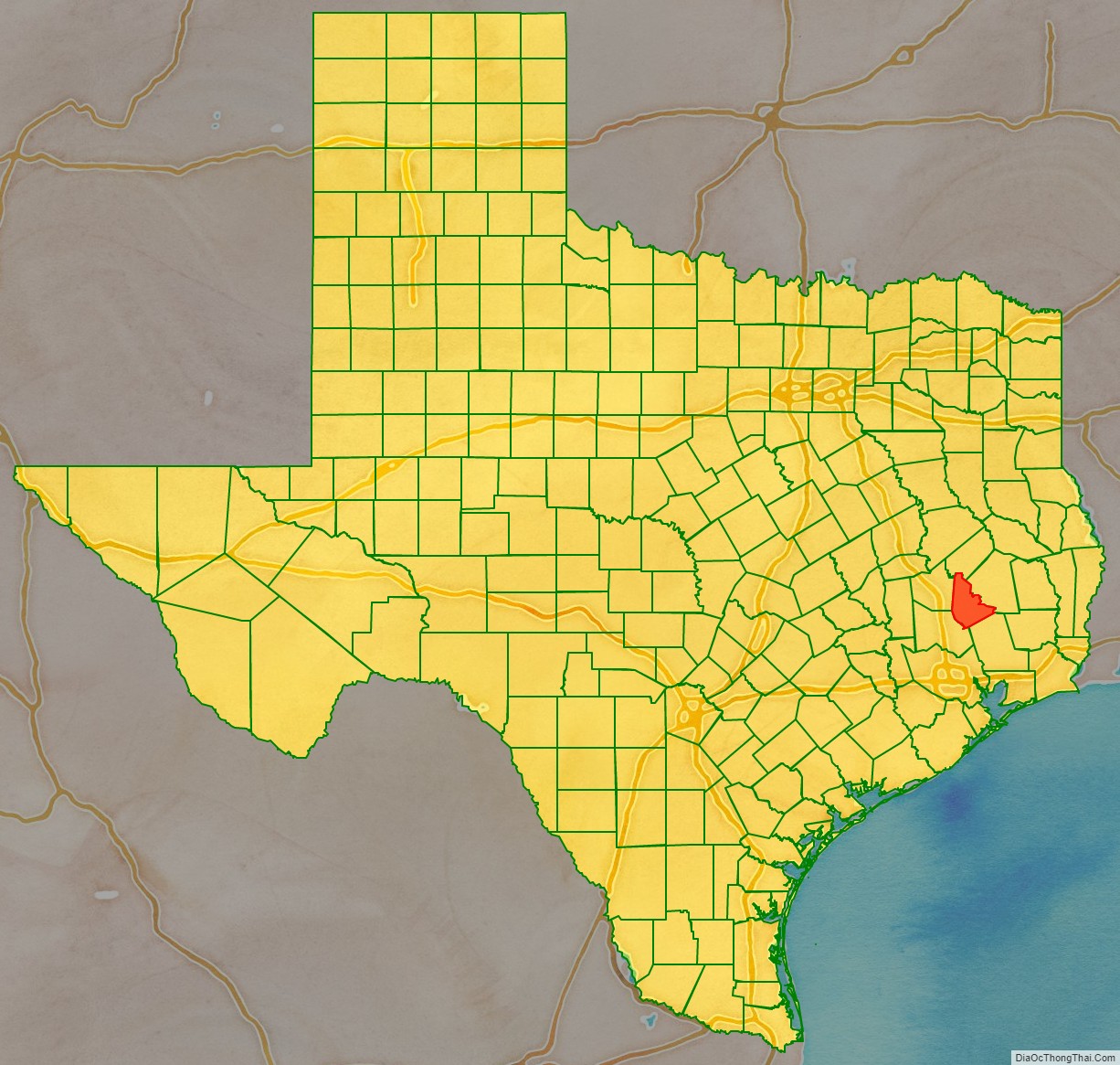
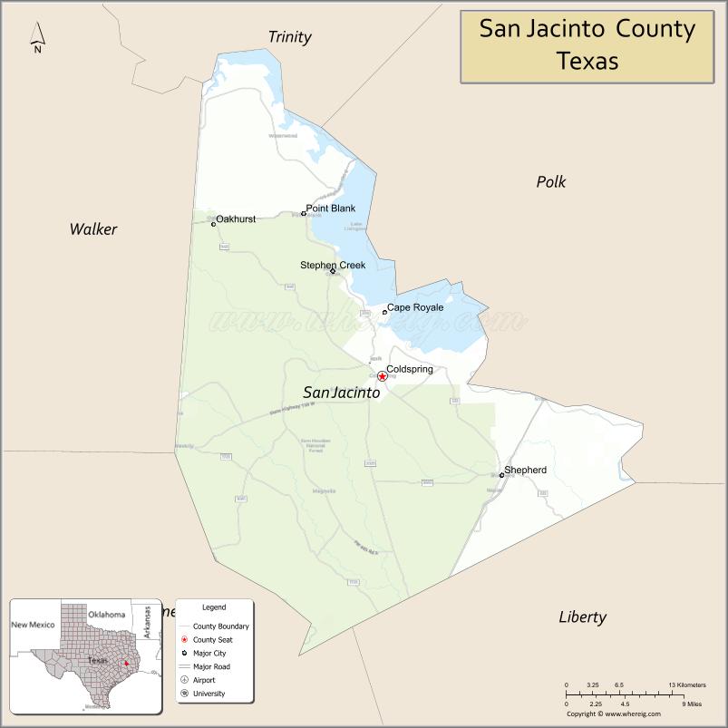
San Jacinto County location map. Where is San Jacinto County?
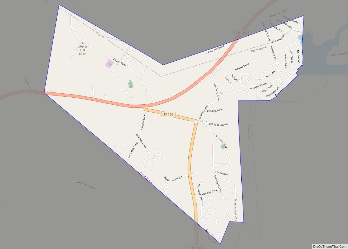
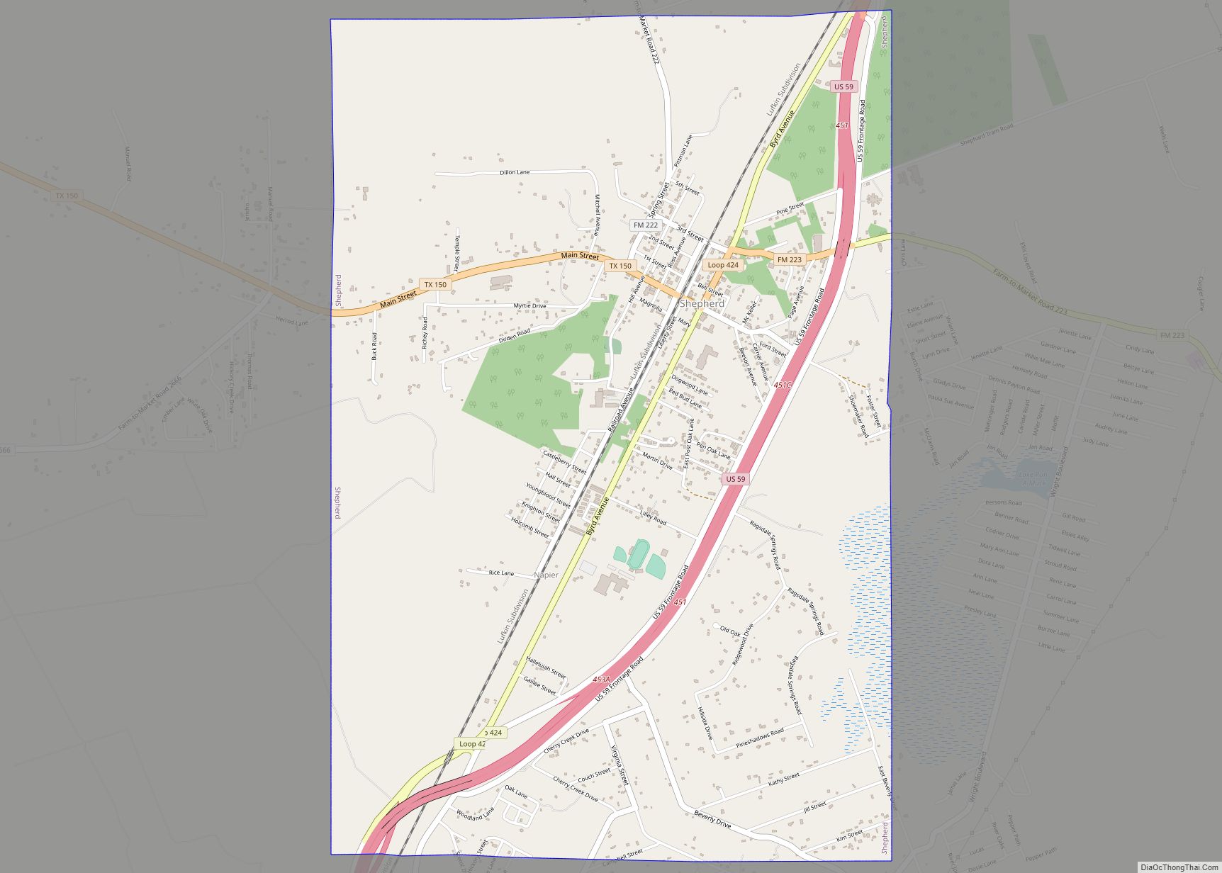
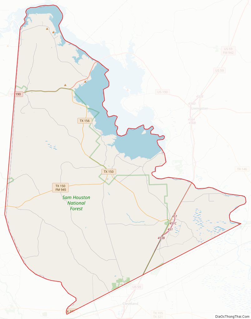
San Jacinto County Road Map
Geography
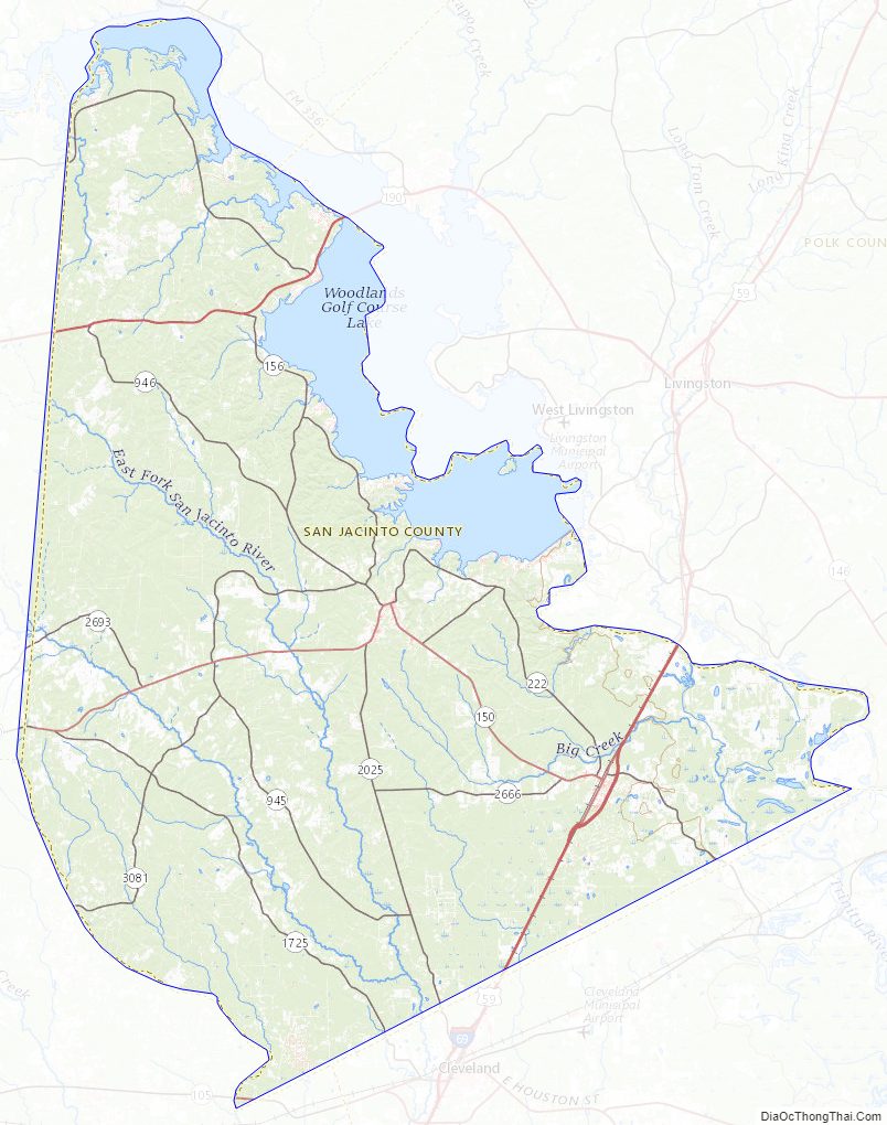
According to the U.S. Census Bureau, the county has a total area of 628 square miles (1,630 km), of which 569 square miles (1,470 km) are land and 59 square miles (150 km) (9.3%) are covered by water.
Major highways
- U.S. Highway 59
- Interstate 69 is currently under construction and will follow the current route of U.S. 59 in most places.
- U.S. Highway 190
- State Highway 150
- State Highway 156
The TTC-69 component (recommended preferred) of the once-planned Trans-Texas Corridor went through San Jacinto County.
Adjacent counties
- Trinity County (north)
- Polk County (east)
- Liberty County (southeast)
- Montgomery County (southwest)
- Walker County (west)
National protected area
- Sam Houston National Forest (part)
San Jacinto County Topographic Map
San Jacinto County Satellite Map
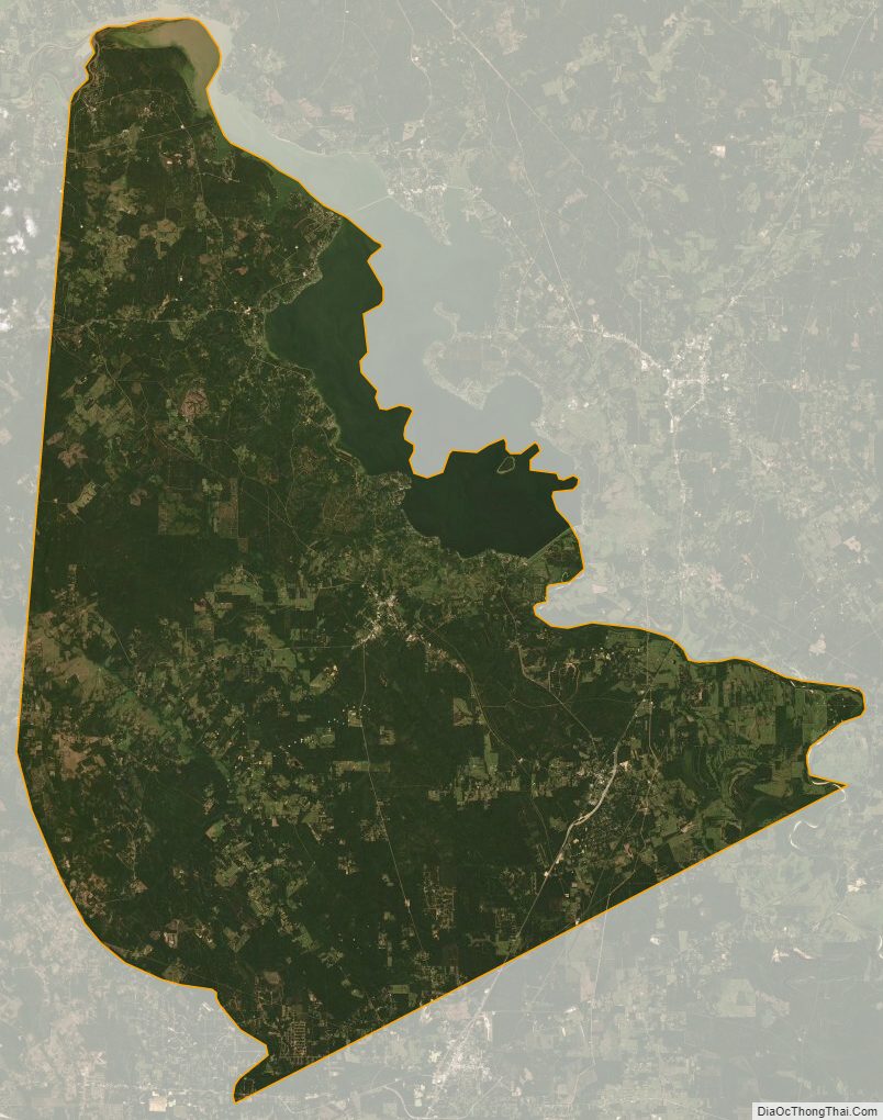
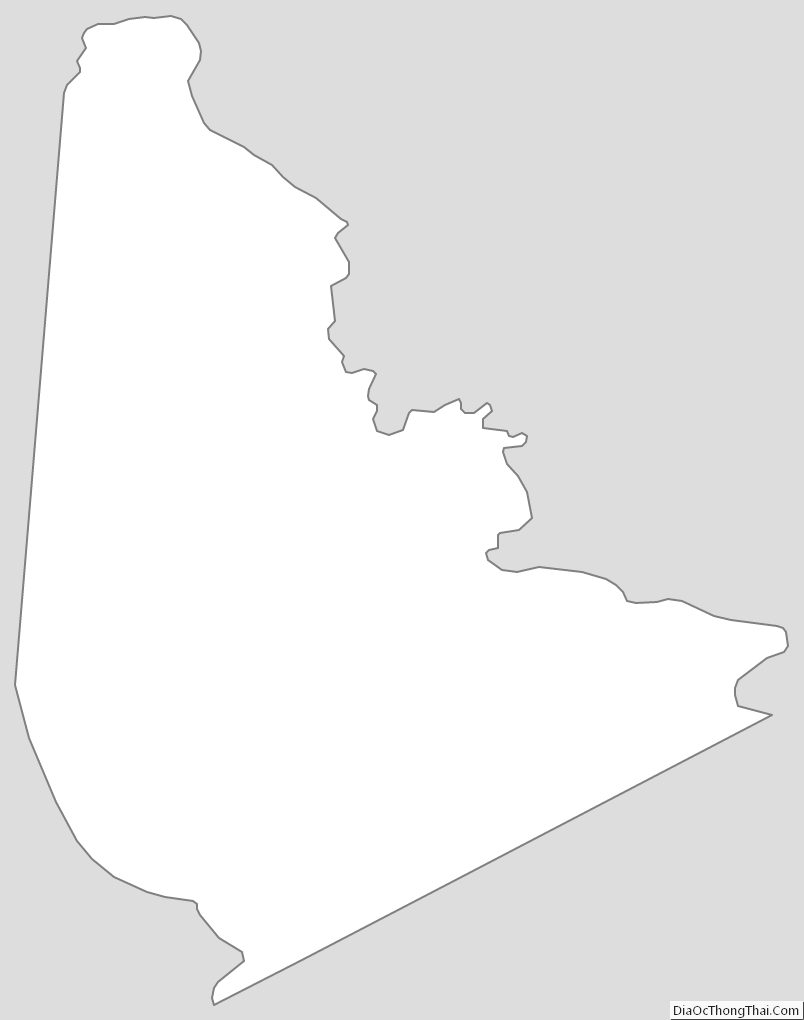
San Jacinto County Outline Map