Coldspring is a city in San Jacinto County, Texas, United States. It is the county seat of San Jacinto County which is named after the river that traverses it and shares its name with the battle which gave Texas its independence. The population was 819 at the 2020 census.
| Name: | Coldspring city |
|---|---|
| LSAD Code: | 25 |
| LSAD Description: | city (suffix) |
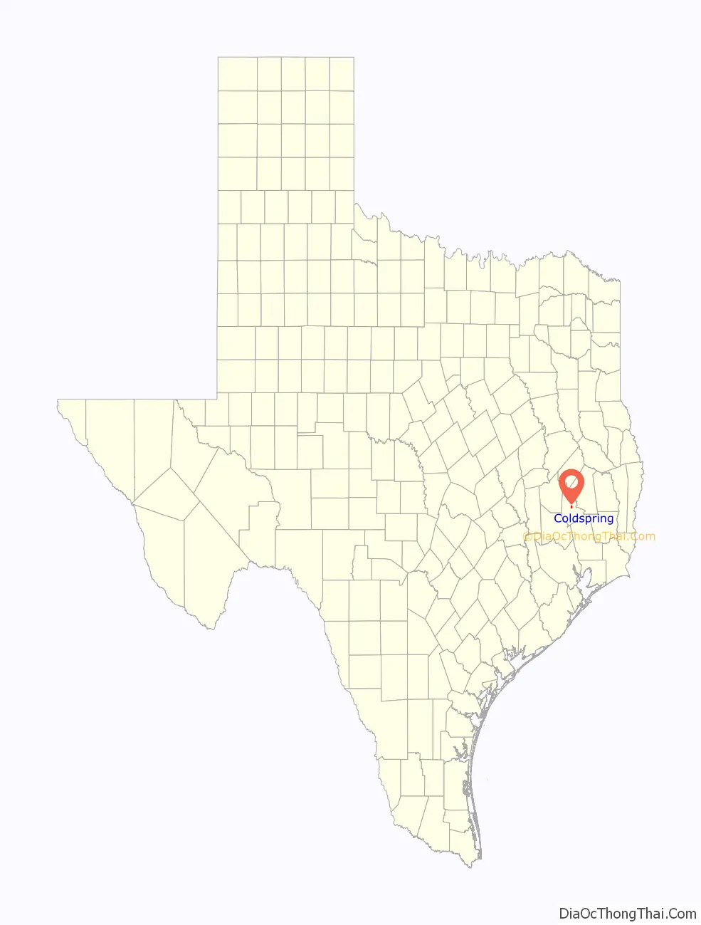
| State: | Texas |
| County: | San Jacinto County |
| Elevation: | 361 ft (110 m) |
| Total Area: | 1.86 sq mi (4.82 km²) |
| Land Area: | 1.86 sq mi (4.81 km²) |
| Water Area: | 0.00 sq mi (0.01 km²) |
| Total Population: | 819 |
| Population Density: | 502.16/sq mi (193.86/km²) |
| ZIP code: | 77331 |
| Area code: | 936 |
| FIPS code: | 4815892 |
| GNISfeature ID: | 1384227 |
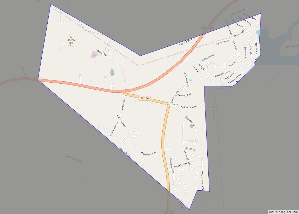
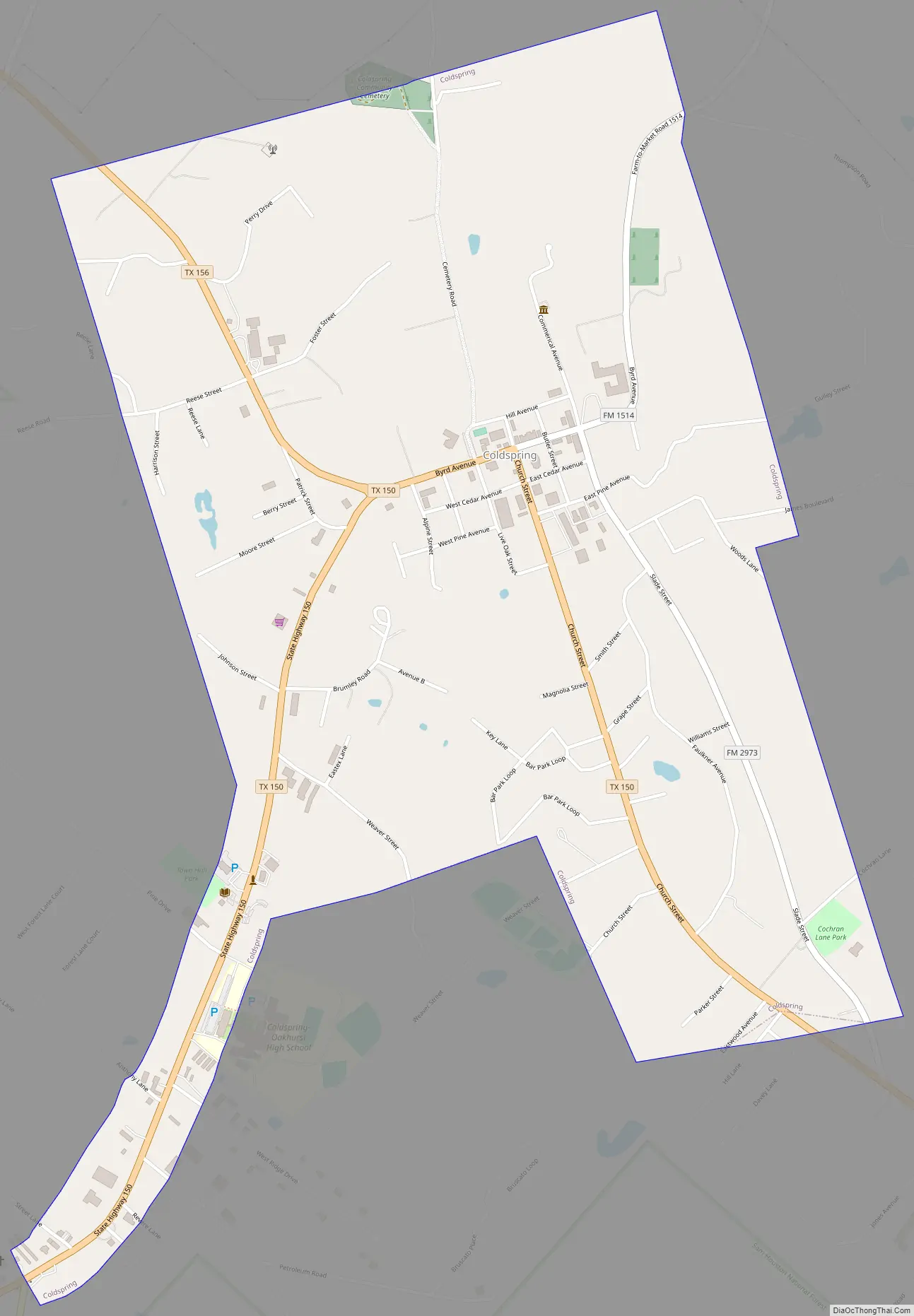
Online Interactive Map
Click on ![]() to view map in "full screen" mode.
to view map in "full screen" mode.
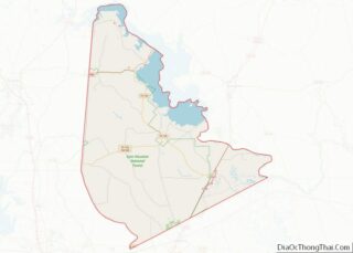
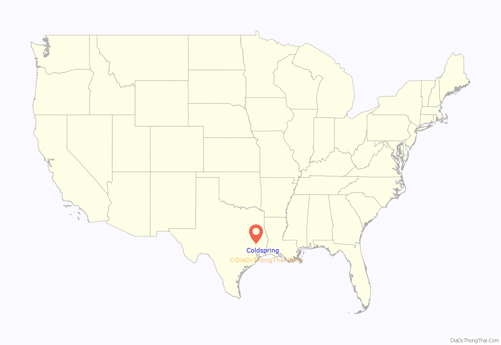
Coldspring location map. Where is Coldspring city?
History
The history of Coldspring is linked to Stephen F. Austin’s first colony in Texas, which established, among other locales, San Jacinto County. Austin’s original colony extended to the Trinity River watershed, roughly along Texas 156, toward Point Blank. After receiving a commission from the Mexican government to settle the town, Joseph Vehlein, a German immigrant to Mexico, deeded 640 acres (2.6 km) to Robert Rankin, an American Revolutionary officer. This acreage included the site of Coldspring.
The settlement of Cold Springs (old spelling) began around 1850. In 1848, there existed only a trading post called “Coonskin”, later “Fireman’s Hill” nearby.
Coldspring had developed into a bustling county seat town by 1915, but disaster struck March 30, 1915, when the wooden courthouse burned, thus removing the economic foundation of the town. Plans for the present courthouse were made, and the building was completed in 1918. Thereafter, the townspeople moved their buildings near the new courthouse at its present location. In 1983, San Jacinto County sheriff, James Cecil “Humpy” Parker, was arrested for, charged with, and convicted of six civil rights abuses of suspects using the form of torture called waterboarding and was sentenced to 10 years in federal prison but served less than five before his medical release due to brain cancer; he died in 1994. Parker’s son and deputy, Gary, was convicted in 1984 of conspiracy to violate suspects’ rights. These incidents were incorporated into a novel by Steven Sellers, Terror on Highway 59 in 1984, which in turn was made into a made-for-television movie, Terror on Highway 91 (1989), starring Ricky Schroder.
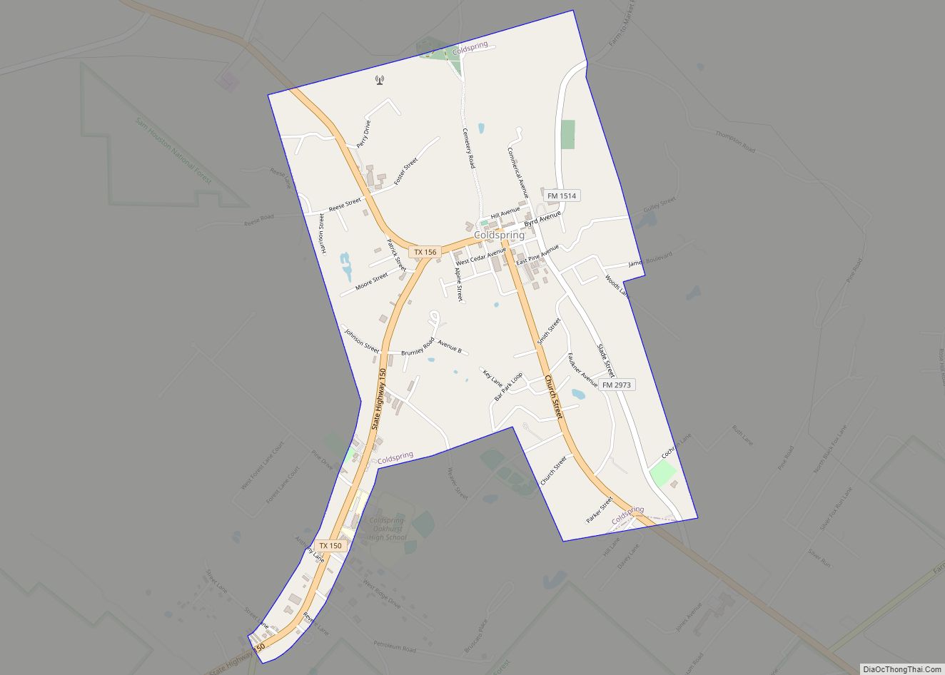
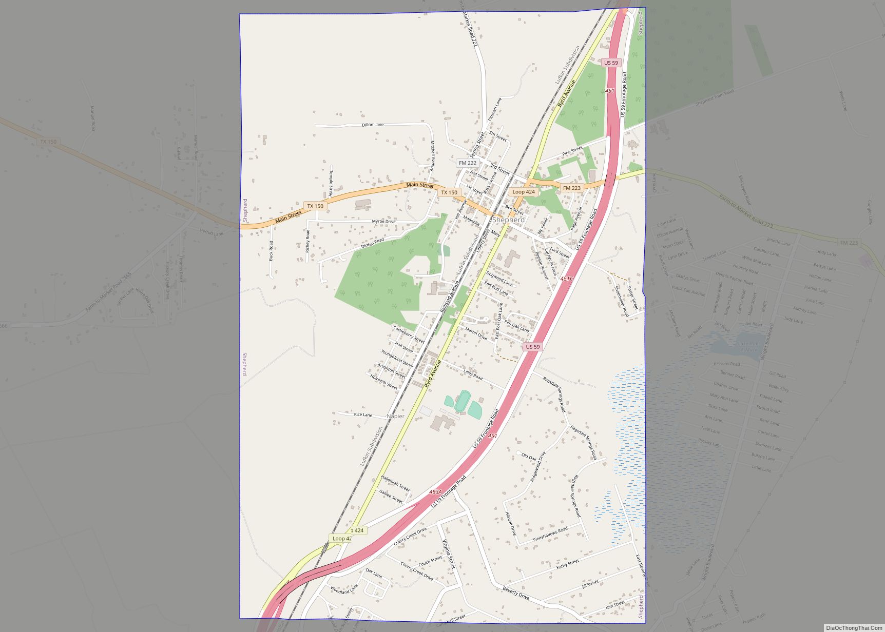
Coldspring Road Map
Coldspring city Satellite Map

Geography
Coldspring is located at 30°35′17″N 95°8′0″W / 30.58806°N 95.13333°W / 30.58806; -95.13333 (30.588194, –95.133262). Houston, the 7th largest metropolitan center in the United States, is approximately 55 miles (89 km) to Coldspring’s south.
According to the United States Census Bureau, the city has a total area of 1.8 square miles (4.7 km), all of it land.
See also
Map of Texas State and its subdivision:- Anderson
- Andrews
- Angelina
- Aransas
- Archer
- Armstrong
- Atascosa
- Austin
- Bailey
- Bandera
- Bastrop
- Baylor
- Bee
- Bell
- Bexar
- Blanco
- Borden
- Bosque
- Bowie
- Brazoria
- Brazos
- Brewster
- Briscoe
- Brooks
- Brown
- Burleson
- Burnet
- Caldwell
- Calhoun
- Callahan
- Cameron
- Camp
- Carson
- Cass
- Castro
- Chambers
- Cherokee
- Childress
- Clay
- Cochran
- Coke
- Coleman
- Collin
- Collingsworth
- Colorado
- Comal
- Comanche
- Concho
- Cooke
- Coryell
- Cottle
- Crane
- Crockett
- Crosby
- Culberson
- Dallam
- Dallas
- Dawson
- Deaf Smith
- Delta
- Denton
- Dewitt
- Dickens
- Dimmit
- Donley
- Duval
- Eastland
- Ector
- Edwards
- El Paso
- Ellis
- Erath
- Falls
- Fannin
- Fayette
- Fisher
- Floyd
- Foard
- Fort Bend
- Franklin
- Freestone
- Frio
- Gaines
- Galveston
- Garza
- Gillespie
- Glasscock
- Goliad
- Gonzales
- Gray
- Grayson
- Gregg
- Grimes
- Guadalupe
- Hale
- Hall
- Hamilton
- Hansford
- Hardeman
- Hardin
- Harris
- Harrison
- Hartley
- Haskell
- Hays
- Hemphill
- Henderson
- Hidalgo
- Hill
- Hockley
- Hood
- Hopkins
- Houston
- Howard
- Hudspeth
- Hunt
- Hutchinson
- Irion
- Jack
- Jackson
- Jasper
- Jeff Davis
- Jefferson
- Jim Hogg
- Jim Wells
- Johnson
- Jones
- Karnes
- Kaufman
- Kendall
- Kenedy
- Kent
- Kerr
- Kimble
- King
- Kinney
- Kleberg
- Knox
- La Salle
- Lamar
- Lamb
- Lampasas
- Lavaca
- Lee
- Leon
- Liberty
- Limestone
- Lipscomb
- Live Oak
- Llano
- Loving
- Lubbock
- Lynn
- Madison
- Marion
- Martin
- Mason
- Matagorda
- Maverick
- McCulloch
- McLennan
- McMullen
- Medina
- Menard
- Midland
- Milam
- Mills
- Mitchell
- Montague
- Montgomery
- Moore
- Morris
- Motley
- Nacogdoches
- Navarro
- Newton
- Nolan
- Nueces
- Ochiltree
- Oldham
- Orange
- Palo Pinto
- Panola
- Parker
- Parmer
- Pecos
- Polk
- Potter
- Presidio
- Rains
- Randall
- Reagan
- Real
- Red River
- Reeves
- Refugio
- Roberts
- Robertson
- Rockwall
- Runnels
- Rusk
- Sabine
- San Augustine
- San Jacinto
- San Patricio
- San Saba
- Schleicher
- Scurry
- Shackelford
- Shelby
- Sherman
- Smith
- Somervell
- Starr
- Stephens
- Sterling
- Stonewall
- Sutton
- Swisher
- Tarrant
- Taylor
- Terrell
- Terry
- Throckmorton
- Titus
- Tom Green
- Travis
- Trinity
- Tyler
- Upshur
- Upton
- Uvalde
- Val Verde
- Van Zandt
- Victoria
- Walker
- Waller
- Ward
- Washington
- Webb
- Wharton
- Wheeler
- Wichita
- Wilbarger
- Willacy
- Williamson
- Wilson
- Winkler
- Wise
- Wood
- Yoakum
- Young
- Zapata
- Zavala
- Alabama
- Alaska
- Arizona
- Arkansas
- California
- Colorado
- Connecticut
- Delaware
- District of Columbia
- Florida
- Georgia
- Hawaii
- Idaho
- Illinois
- Indiana
- Iowa
- Kansas
- Kentucky
- Louisiana
- Maine
- Maryland
- Massachusetts
- Michigan
- Minnesota
- Mississippi
- Missouri
- Montana
- Nebraska
- Nevada
- New Hampshire
- New Jersey
- New Mexico
- New York
- North Carolina
- North Dakota
- Ohio
- Oklahoma
- Oregon
- Pennsylvania
- Rhode Island
- South Carolina
- South Dakota
- Tennessee
- Texas
- Utah
- Vermont
- Virginia
- Washington
- West Virginia
- Wisconsin
- Wyoming