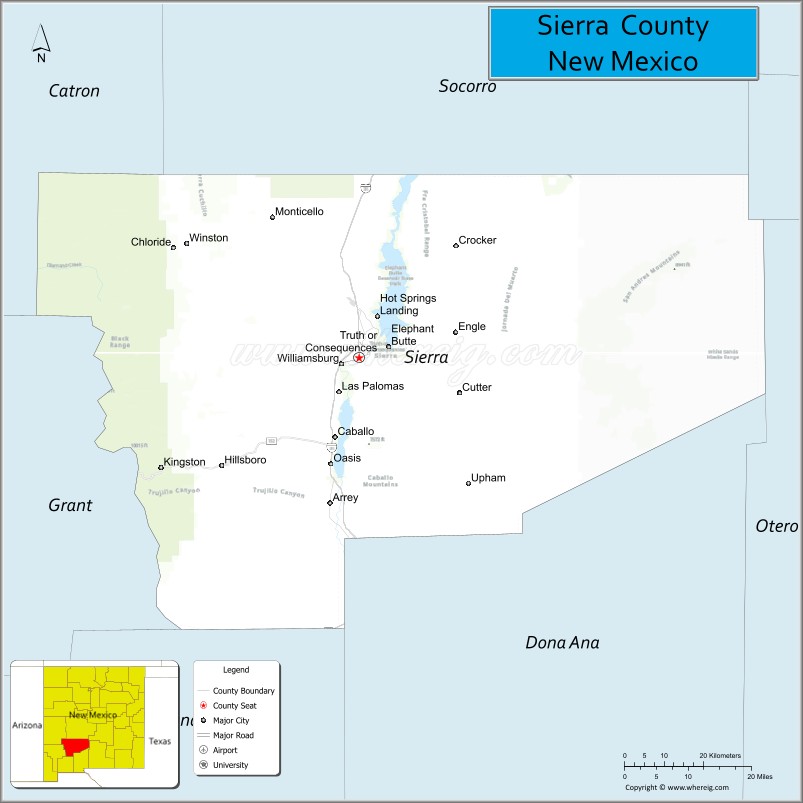
Sierra County (Spanish: Condado de Sierra) is a county located in the U.S. state of New Mexico. As of the 2020 Census, the population was 11,576. Its county seat is Truth or Consequences.
| Name: | Sierra County |
|---|---|
| FIPS code: | 35-051 |
| State: | New Mexico |
| Founded: | 1884 |
| Named for: | the Black Range (Spanish: Sierra Diablo) |
| Seat: | Truth or Consequences |
| Largest city: | Truth or Consequences |
| Total Area: | 4,236 sq mi (10,970 km²) |
| Land Area: | 4,179 sq mi (10,820 km²) |
| Total Population: | 11,576 |
| Population Density: | 2.9/sq mi (1.1/km²) |
| Time zone: | UTC−7 (Mountain) |
| Summer Time Zone (DST): | UTC−6 (MDT) |
| Website: | www.sierracountynm.gov |
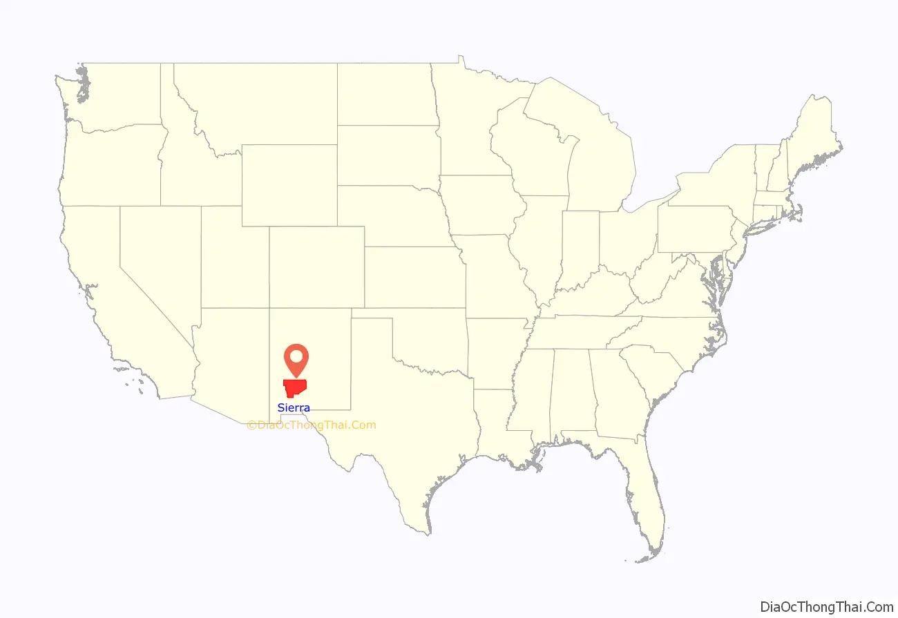
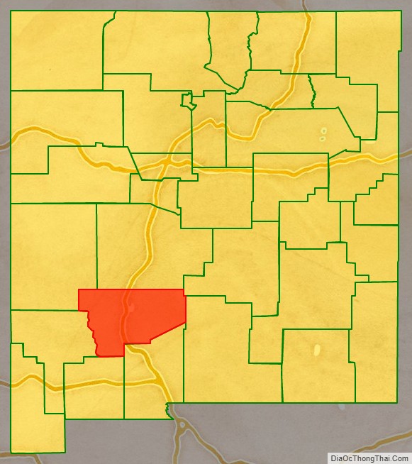
Sierra County location map. Where is Sierra County?
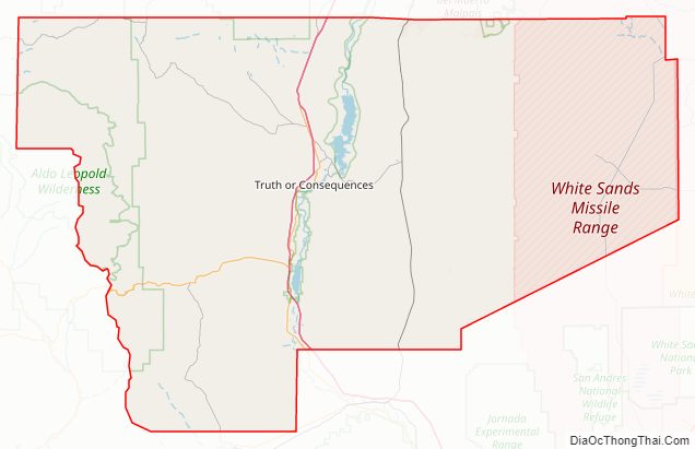
Sierra County Road Map
Geography
According to the U.S. Census Bureau, the county has a total area of 4,236 square miles (10,970 km), of which 4,179 square miles (10,820 km) is land and 57 square miles (150 km) (1.4%) is water.
Adjacent counties
- Catron County – northwest
- Socorro County – north
- Lincoln County – northeast
- Otero County – east
- Doña Ana County – south
- Luna County – south
- Grant County – west
National protected areas
- Cibola National Forest (part)
- El Camino Real de Tierra Adentro National Historic Trail (part)
- Gila National Forest (part)
Major highways
- I-25
- US 85
- NM 152
- NM 181
- NM 179
- NM 187
- NM 195
Sierra County Topographic Map
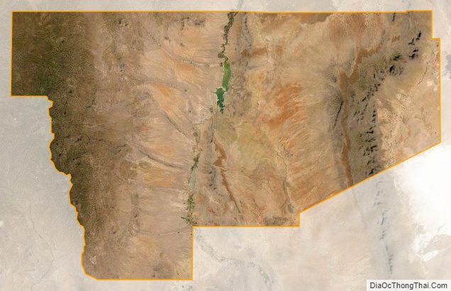
Sierra County Satellite Map
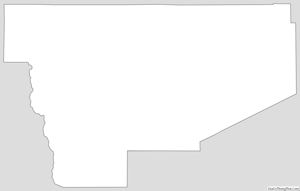
Sierra County Outline Map