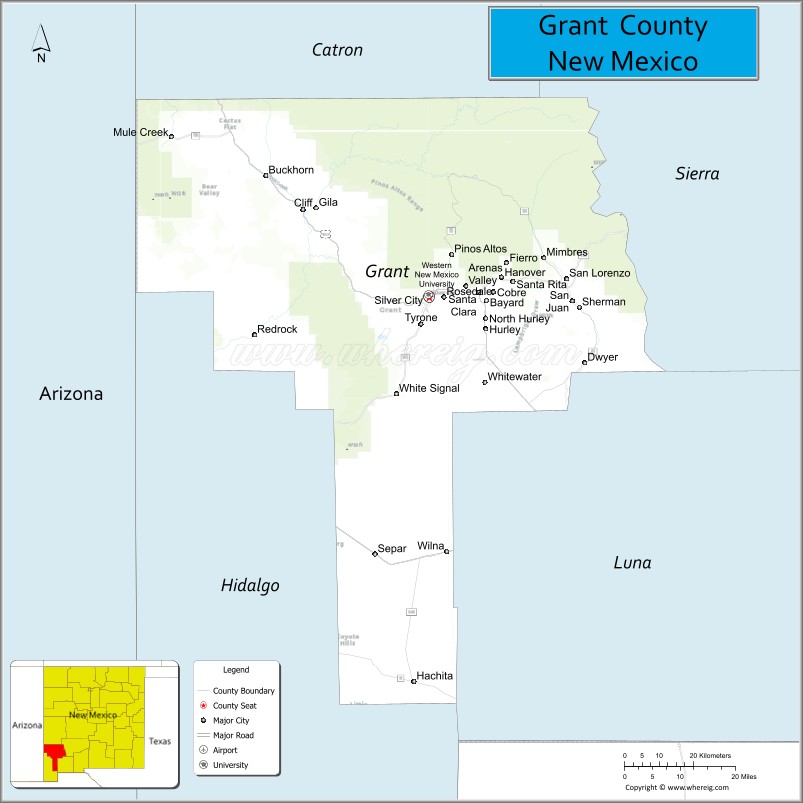
Grant County is a county located in the U.S. state of New Mexico. At the 2020 census, the population was 28,185. Its county seat is Silver City. The county was founded in 1868 and named for Ulysses S. Grant, the 18th President of the United States.
Grant County comprises the Silver City, NM, Micropolitan Statistical Area. It is part of the Southwest New Mexico Council of Governments.
| Name: | Grant County |
|---|---|
| FIPS code: | 35-017 |
| State: | New Mexico |
| Founded: | 1868 |
| Named for: | Ulysses S. Grant |
| Seat: | Silver City |
| Largest town: | Silver City |
| Total Area: | 3,968 sq mi (10,280 km²) |
| Land Area: | 3,962 sq mi (10,260 km²) |
| Total Population: | 27,889 |
| Population Density: | 7.1/sq mi (2.7/km²) |
| Time zone: | UTC−7 (Mountain) |
| Summer Time Zone (DST): | UTC−6 (MDT) |
| Website: | www.grantcountynm.gov |
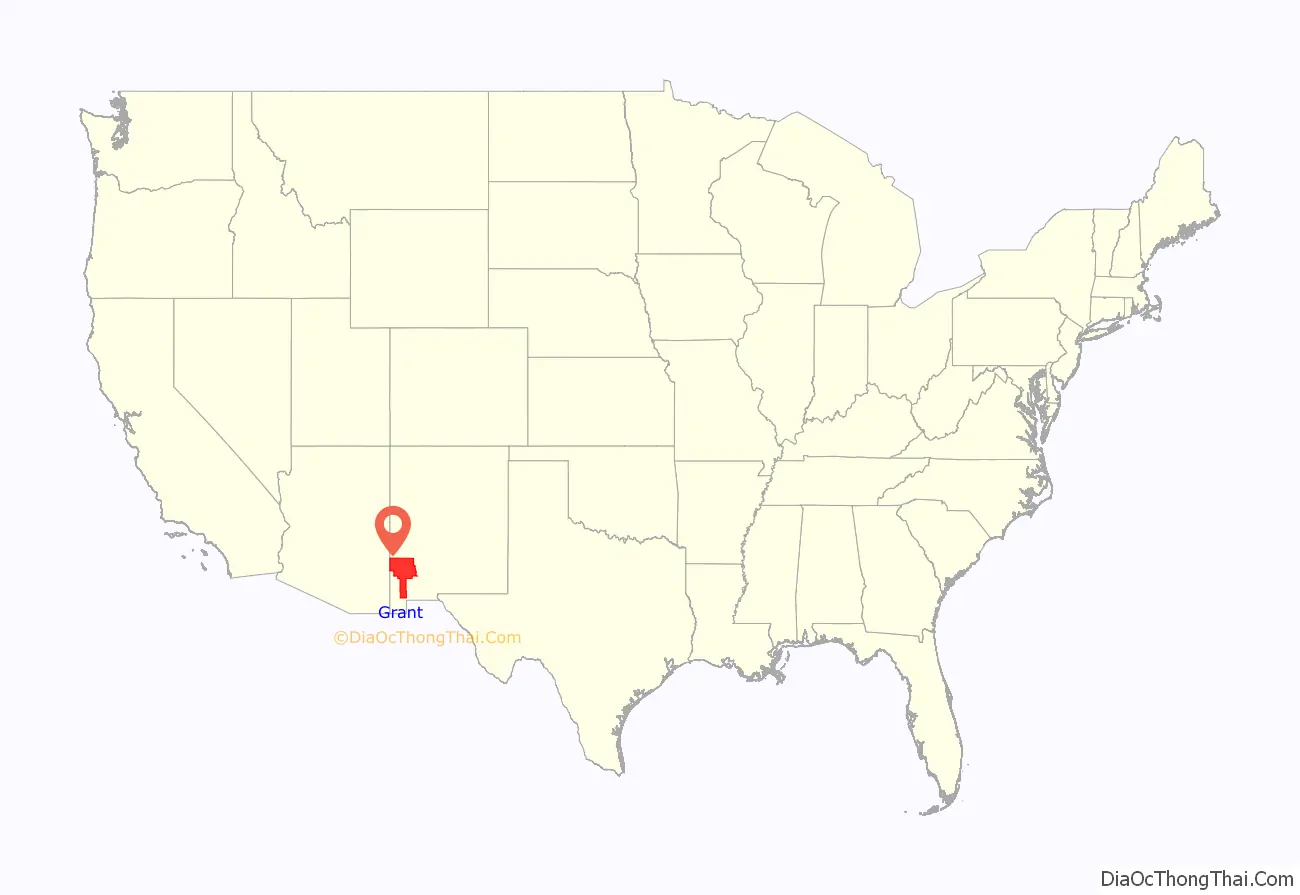
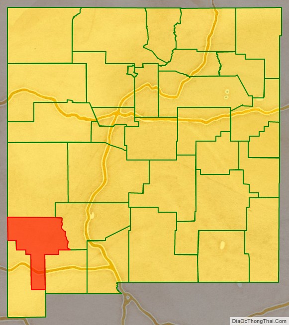
Grant County location map. Where is Grant County?
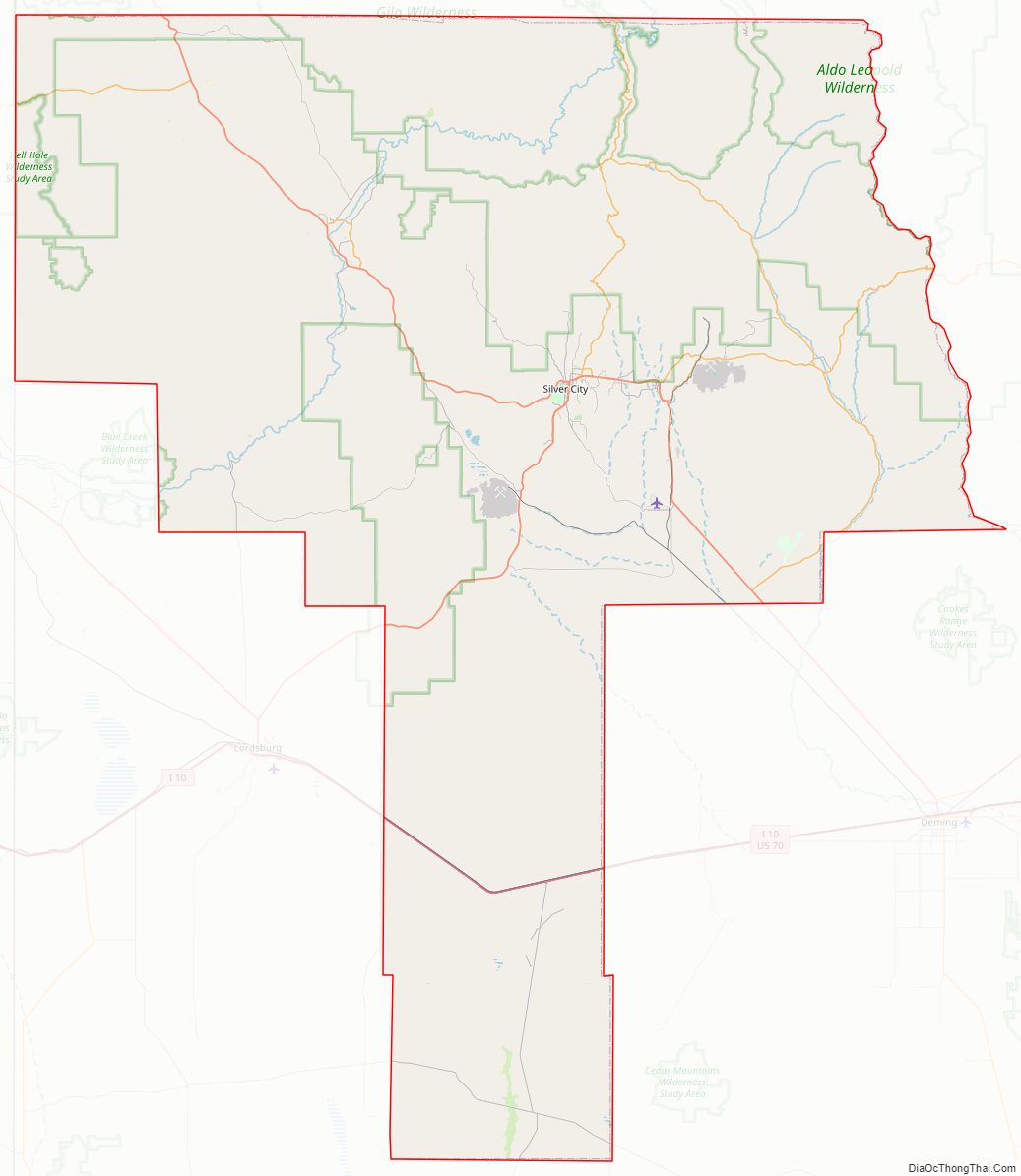
Grant County Road Map
Geography
According to the U.S. Census Bureau, the county has a total area of 3,968 square miles (10,280 km), of which 3,962 square miles (10,260 km) is land and 5.9 square miles (15 km) (0.1%) is water.
Adjacent counties
- Catron County – north
- Sierra County – east
- Luna County – southeast
- Hidalgo County – south
- Greenlee County, Arizona – west
National protected area
- Gila National Forest (part)
Grant County Topographic Map
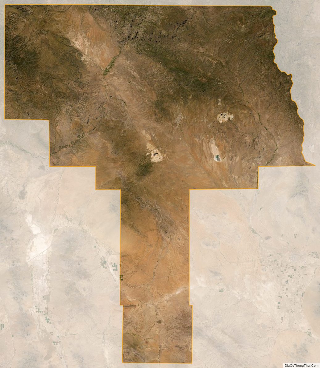
Grant County Satellite Map
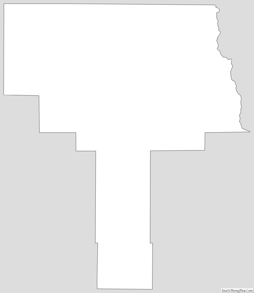
Grant County Outline Map