Skagit County /ˈskædʒɪt/ is a county in the U.S. state of Washington. As of the 2020 census, the population was 129,523. The county seat and largest city is Mount Vernon. The county was formed in 1883 from Whatcom County and is named for the Skagit Indian tribe, which has been indigenous to the area prior to European-American settlement.
Skagit County comprises the Mount Vernon-Anacortes, WA Metropolitan Statistical Area, and is included in the Seattle–Tacoma, WA Combined Statistical Area. It is located in the Puget Sound region.
| Name: | Skagit County |
|---|---|
| FIPS code: | 53-057 |
| State: | Washington |
| Founded: | November 28, 1883 |
| Named for: | Skagit tribes |
| Seat: | Mount Vernon |
| Largest city: | Mount Vernon |
| Total Area: | 1,920 sq mi (5,000 km²) |
| Land Area: | 1,731 sq mi (4,480 km²) |
| Total Population: | 129,523 |
| Population Density: | 71/sq mi (27/km²) |
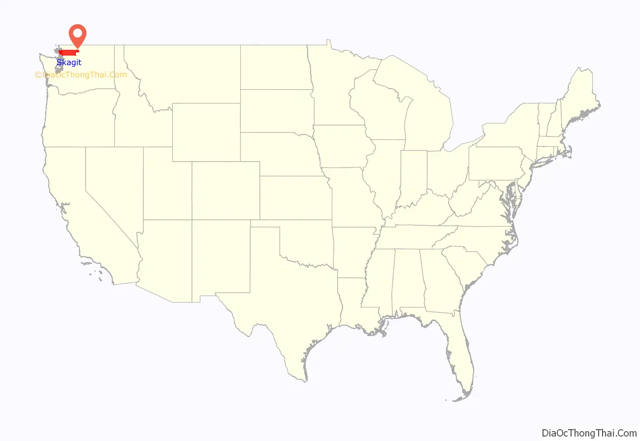
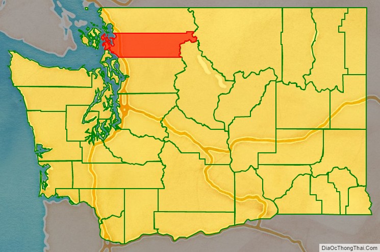
Skagit County location map. Where is Skagit County?
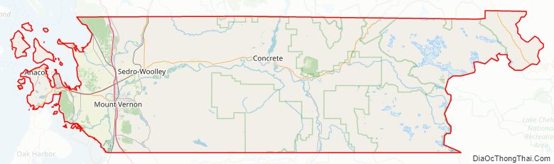
Skagit County Road Map
Geography
According to the United States Census Bureau, the county has a total area of 1,920 square miles (5,000 km), of which 1,731 square miles (4,480 km) is land and 189 square miles (490 km) (9.8%) is water. It is noted for its broad, fertile valley of the Skagit River, a center for cultivation of tulips and strawberries.
Geographic features
- Allan Island
- Burrows Island
- Cascade Mountains
- Cypress Island
- Fir Island
- Fidalgo Island
- Guemes Island
- Hart Island
- Hope Island
- Kiket Island
- Pass Island
- Samish Island
- Sauk River
- Sinclair Island
- Skagit Island
- Skagit River
- Vendovi Island
- Mount Buckner, highest point in Skagit County
Adjacent counties
- Whatcom County – north
- Okanogan County – east
- Chelan County – southeast
- Snohomish County – south
- Island County – southwest
- San Juan County – west
National protected areas
- Mount Baker-Snoqualmie National Forest (part)
- North Cascades National Park (part)
- Ross Lake National Recreation Area (part)
- Pacific Northwest National Scenic Trail (part)
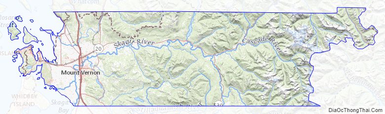
Skagit County Topographic Map
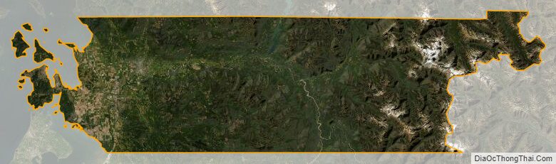
Skagit County Satellite Map
Skagit County Outline Map