Anacortes (/ˌænəˈkɔːrtəs/ AN-ə-KOR-təs) is a city in Skagit County, Washington, United States. The name “Anacortes” is an adaptation of the name of Anne Curtis Bowman, who was the wife of early Fidalgo Island settler Amos Bowman. Anacortes’ population was 17,637 at the time of the 2020 census. It is one of two principal cities of and included in the Mount Vernon-Anacortes Metropolitan Statistical Area.
Anacortes is known for the Washington State Ferries dock and terminal serving Lopez Island, Shaw Island, Orcas Island, and San Juan Island, as well as Victoria, British Columbia (via Sidney, British Columbia), on Vancouver Island. There is also a Skagit County-operated ferry that serves Guemes Island, a residential island located across Guemes Channel, north of Anacortes.
| Name: | Anacortes city |
|---|---|
| LSAD Code: | 25 |
| LSAD Description: | city (suffix) |
| State: | Washington |
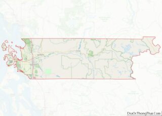
| County: | Skagit County |
| Elevation: | 23 ft (7 m) |
| Total Area: | 15.65 sq mi (40.53 km²) |
| Land Area: | 11.70 sq mi (30.30 km²) |
| Water Area: | 3.95 sq mi (10.23 km²) |
| Total Population: | 17,637 |
| Population Density: | 1,498.16/sq mi (578.45/km²) |
| ZIP code: | 98221 |
| Area code: | 360 |
| FIPS code: | 5301990 |
| GNISfeature ID: | 1511964 |
| Website: | cityofanacortes.org |
Online Interactive Map
Click on ![]() to view map in "full screen" mode.
to view map in "full screen" mode.
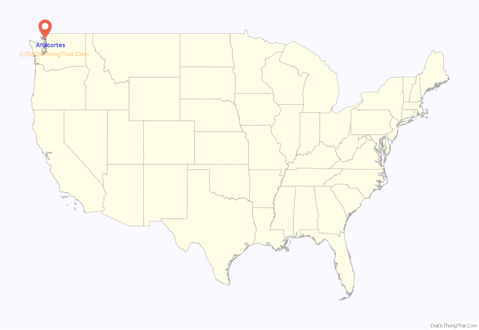
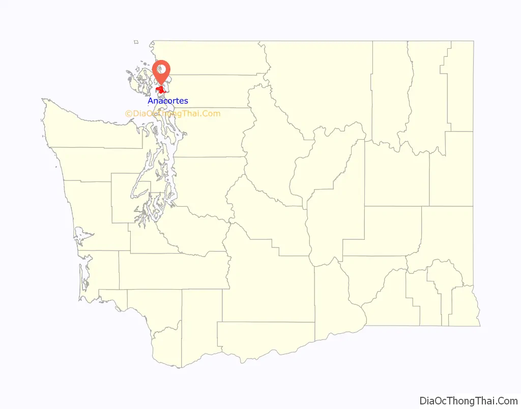
Anacortes location map. Where is Anacortes city?
History
Anacortes is within the historical territory of the Samish people. Anacortes was officially incorporated on May 19, 1891.
In 1877, railroad surveyor and town founder Amos Bowman moved his family to the northern tip of Fidalgo Island. Bowman began promoting the area as an obvious terminus for the Northern Pacific Railway as it was built through the north Cascades to the Pacific. Bowman established the town’s first newspaper, The Northwest Enterprise, to promote his vision of the New York of the West.
Seattle and Northern Company began building a rail line from the town in 1888. Real estate and development boomed from 1888 to 1890 as a result of the railroad rumors, and the Oregon Improvement Company posted $15 million in bonds to develop the town.
In 1891, the real estate bubble burst. Speculators lost money and the Oregon Improvement Company could no longer afford to complete tracks over the Cascades. The town failed to become the railroad terminus Bowman had envisioned.
After the bust, the town became prominent for its fishing tradition, thriving canning industry, and timber mills.
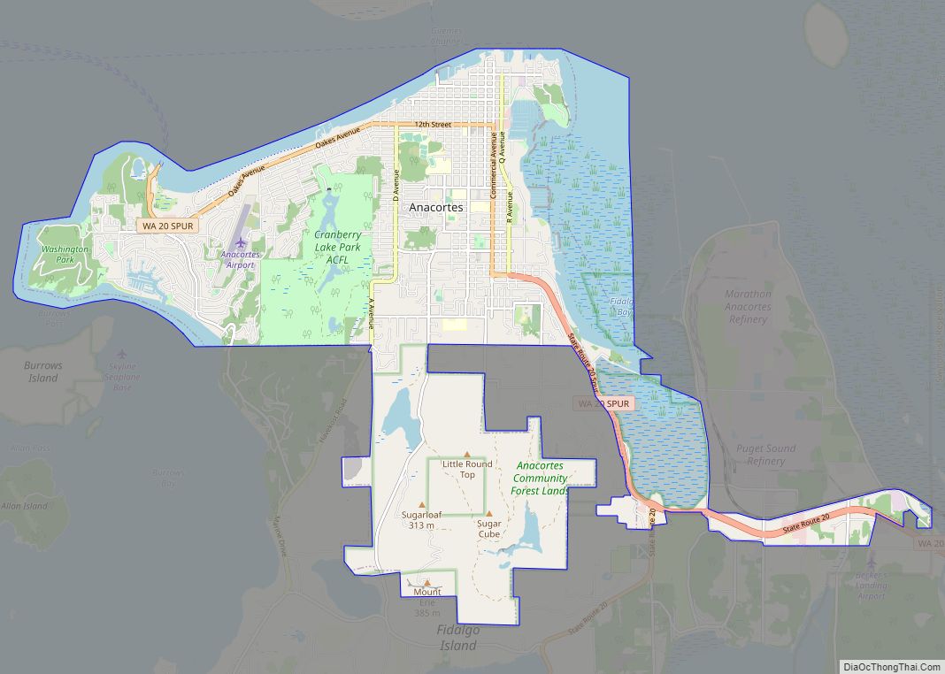
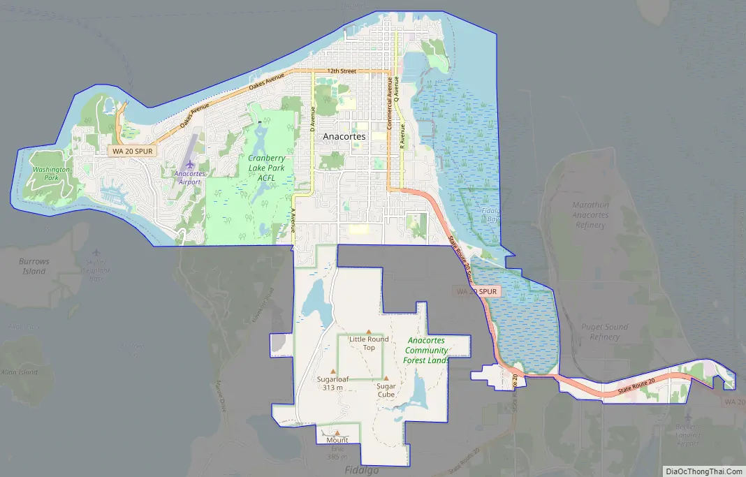
Anacortes Road Map
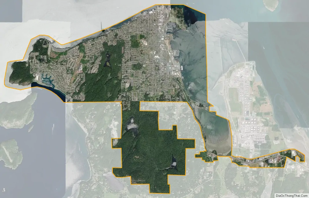
Anacortes city Satellite Map
Geography
Anacortes is on Fidalgo Island. According to the United States Census Bureau, the city has a total area of 15.53 square miles (40.22 km), of which 11.75 square miles (30.43 km) is land and 3.78 square miles (9.79 km) is water.
Climate
According to the Köppen climate classification system, Anacortes has a warm-summer Mediterranean climate (Csb) with cool, rainy winters and warm, dry summers.
See also
Map of Washington State and its subdivision:- Adams
- Asotin
- Benton
- Chelan
- Clallam
- Clark
- Columbia
- Cowlitz
- Douglas
- Ferry
- Franklin
- Garfield
- Grant
- Grays Harbor
- Island
- Jefferson
- King
- Kitsap
- Kittitas
- Klickitat
- Lewis
- Lincoln
- Mason
- Okanogan
- Pacific
- Pend Oreille
- Pierce
- San Juan
- Skagit
- Skamania
- Snohomish
- Spokane
- Stevens
- Thurston
- Wahkiakum
- Walla Walla
- Whatcom
- Whitman
- Yakima
- Alabama
- Alaska
- Arizona
- Arkansas
- California
- Colorado
- Connecticut
- Delaware
- District of Columbia
- Florida
- Georgia
- Hawaii
- Idaho
- Illinois
- Indiana
- Iowa
- Kansas
- Kentucky
- Louisiana
- Maine
- Maryland
- Massachusetts
- Michigan
- Minnesota
- Mississippi
- Missouri
- Montana
- Nebraska
- Nevada
- New Hampshire
- New Jersey
- New Mexico
- New York
- North Carolina
- North Dakota
- Ohio
- Oklahoma
- Oregon
- Pennsylvania
- Rhode Island
- South Carolina
- South Dakota
- Tennessee
- Texas
- Utah
- Vermont
- Virginia
- Washington
- West Virginia
- Wisconsin
- Wyoming