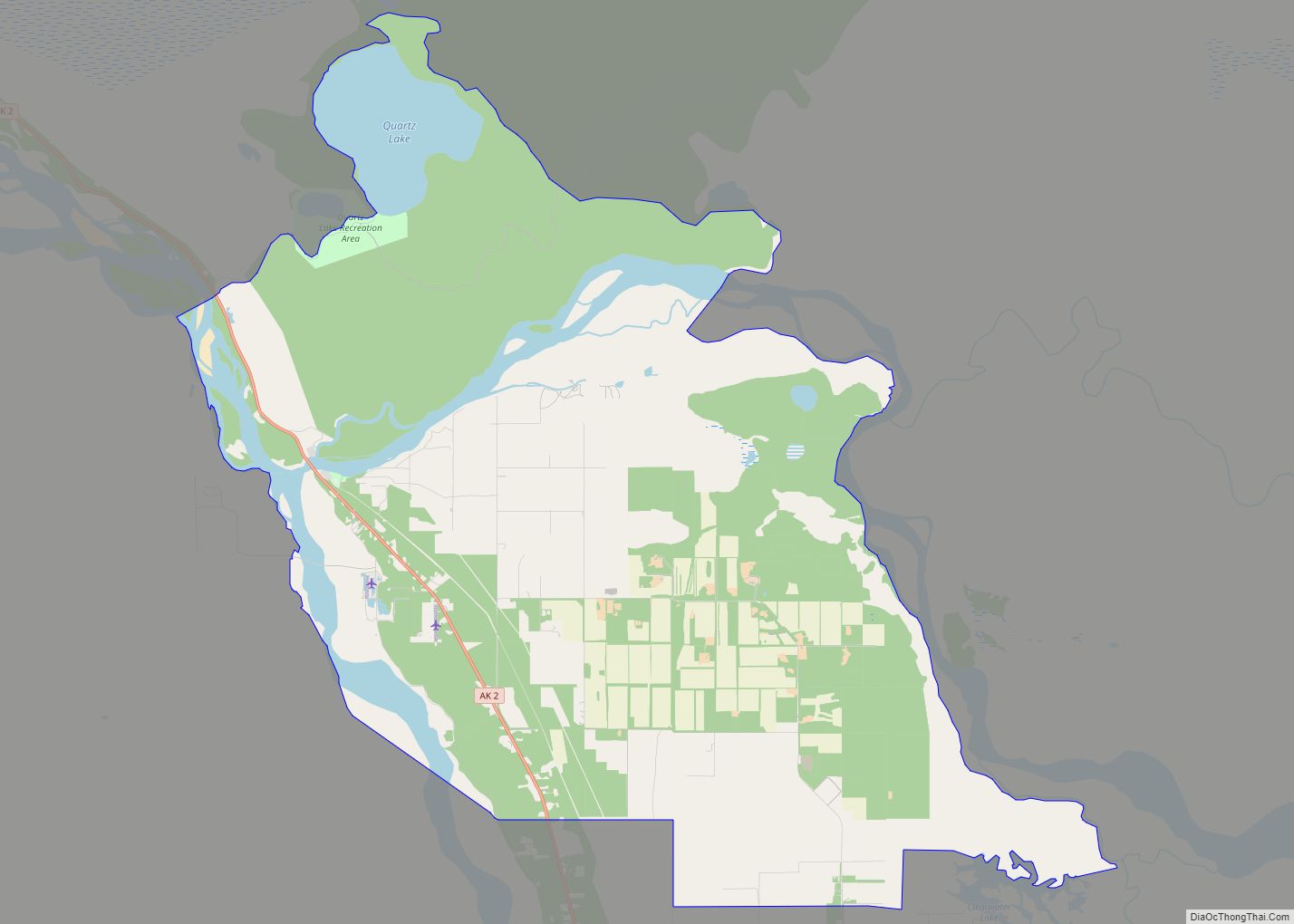
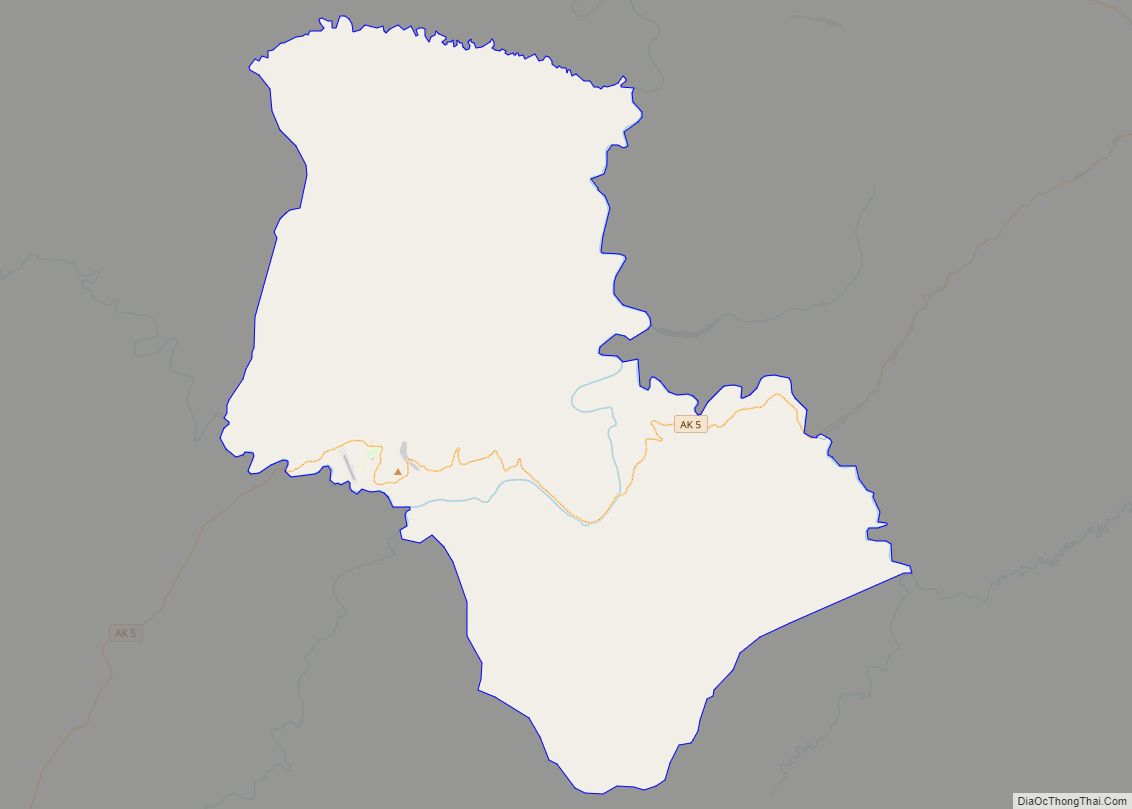
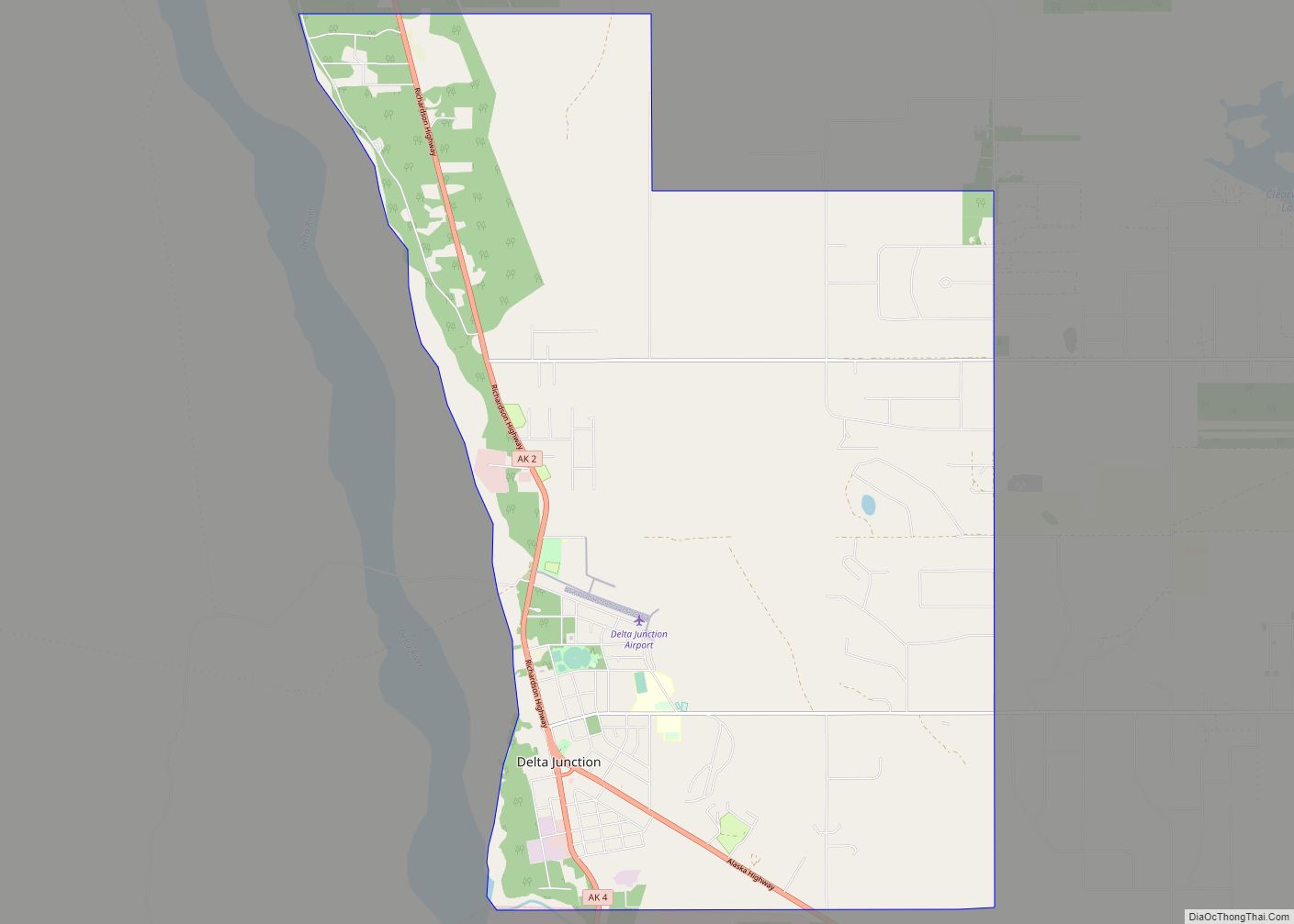
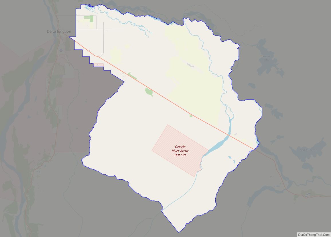
Southeast Fairbanks Census Area is a census area located in the U.S. state of Alaska. As of the 2020 census, the population was 6,808, down from 7,029 in 2010. It is part of the unorganized borough and therefore has no borough seat. Its largest communities are Deltana and Tok, both unincorporated CDPs.
| Name: | Southeast Fairbanks Census Area |
|---|---|
| FIPS code: | 02-240 |
| State: | Alaska |
| Named for: | its location to the southeast of Fairbanks, Alaska |
| Total Area: | 25,059 sq mi (64,900 km²) |
| Land Area: | 24,769 sq mi (64,150 km²) |
| Total Population: | 6,808 |
| Population Density: | 0.28/sq mi (0.11/km²) |
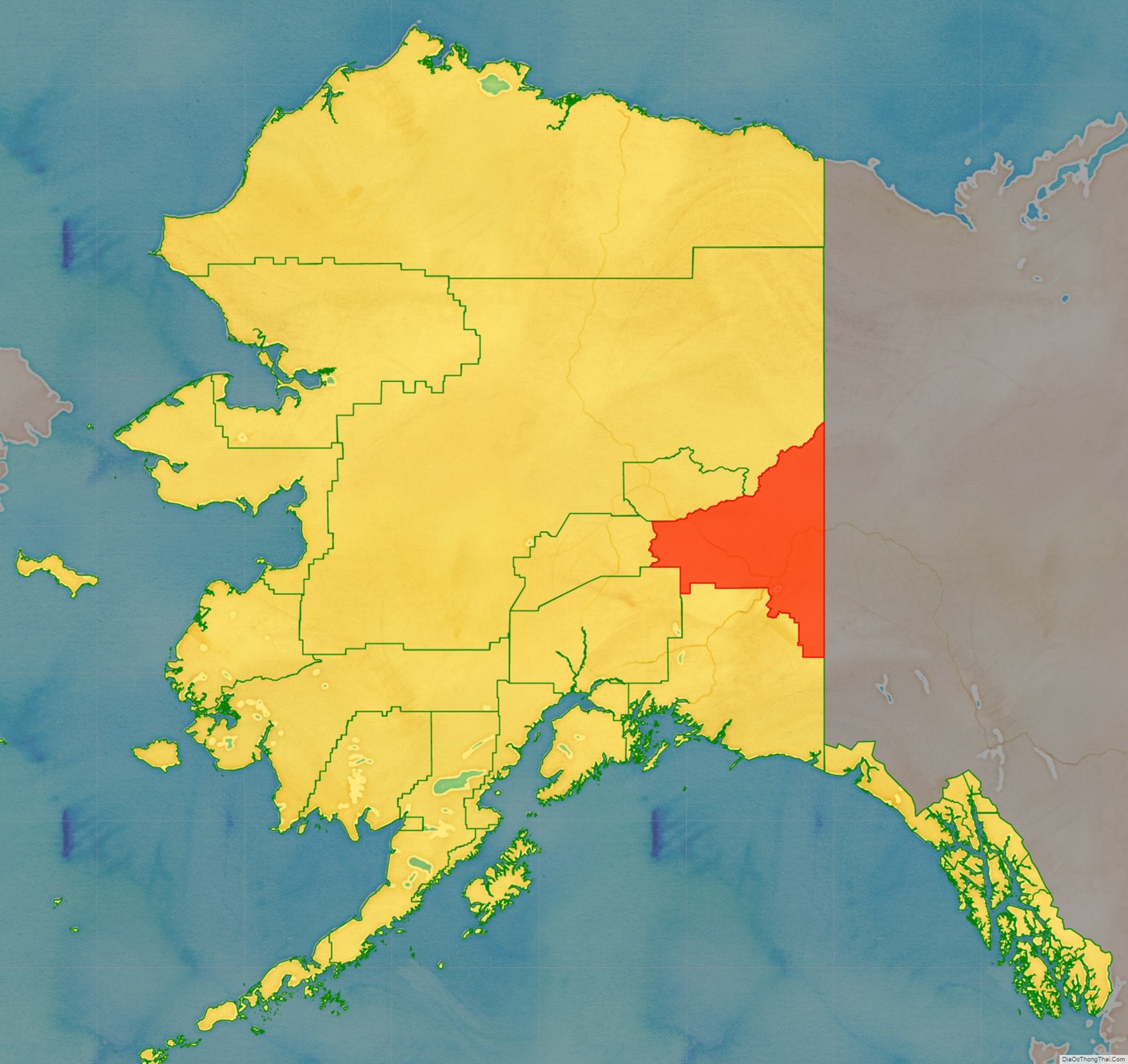
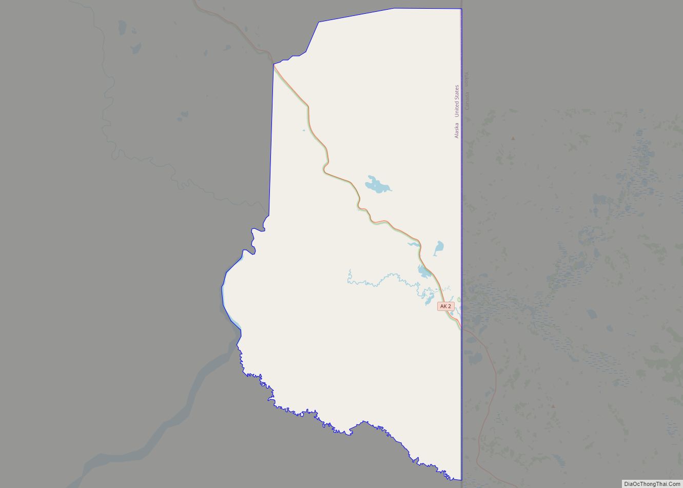
Southeast Fairbanks Census Area location map. Where is Southeast Fairbanks Census Area?
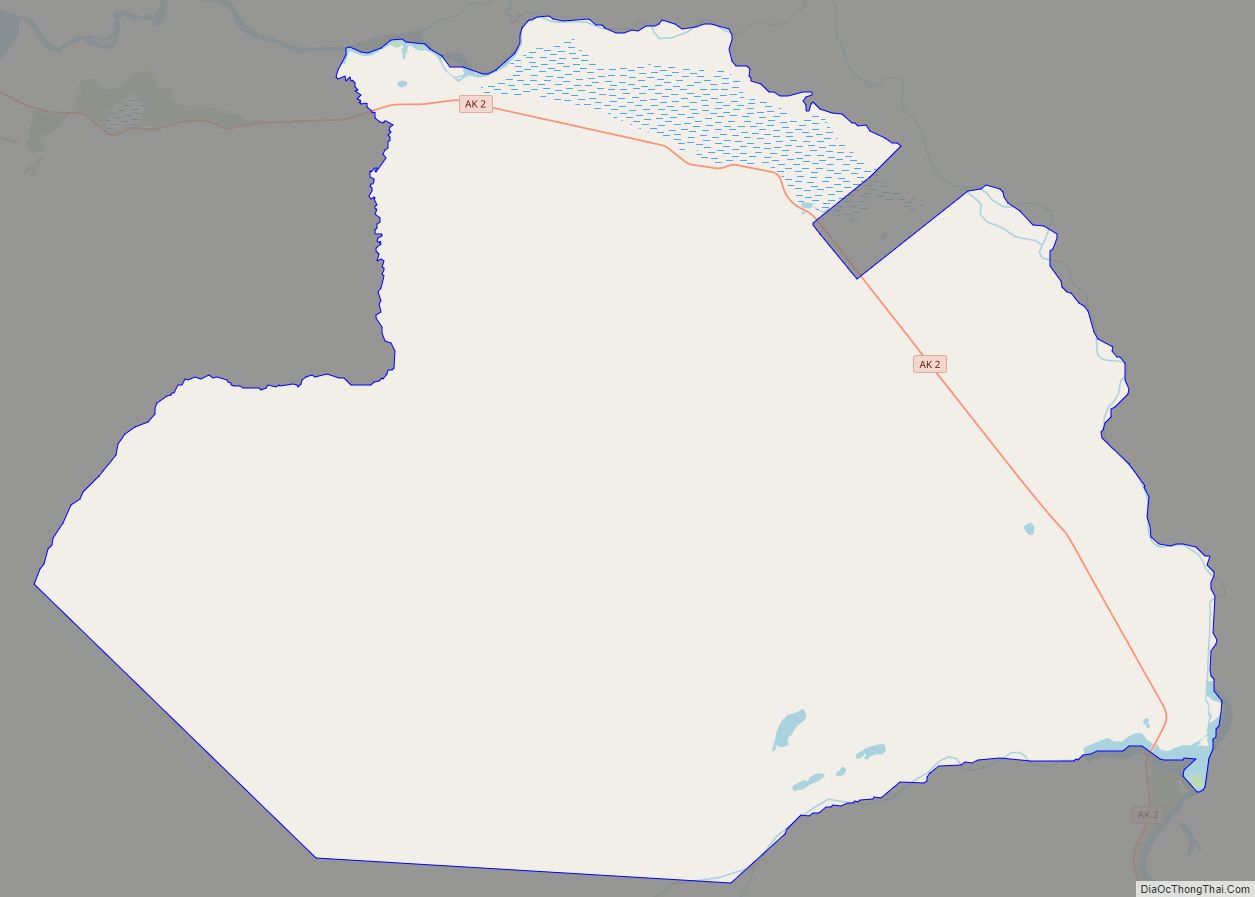
Southeast Fairbanks Census Area Road Map
Geography
According to the U.S. Census Bureau, the census area has a total area of 25,059 square miles (64,900 km), of which 24,769 square miles (64,150 km) is land and 291 square miles (750 km) (1.2%) is water. For comparison, it is slightly bigger than the state of West Virginia.
Adjacent boroughs and census areas
- Fairbanks North Star Borough, Alaska – Northwest
- Yukon-Koyukuk Census Area, Alaska – North
- Copper River Census Area, Alaska – South
- Matanuska-Susitna Borough, Alaska – Southwest
- Denali Borough, Alaska – West
- Yukon Territory, Canada – East
National protected areas
- Tetlin National Wildlife Refuge (part)
- Wrangell-St. Elias National Park and Preserve (part)
- Wrangell-Saint Elias Wilderness (part)
- Yukon-Charley Rivers National Preserve (part)
