Alcan Border, also known as Port Alcan, is a census-designated place in the Southeast Fairbanks Census Area in the U.S. state of Alaska. Part of the Unorganized Borough, Alcan Border is the site of the Alcan – Beaver Creek Border Crossing, the main U.S. port of entry for persons arriving in Alaska by road. The population was 33 at the 2010 census, up from 21 in 2000.
| Name: | Alcan Border CDP |
|---|---|
| LSAD Code: | 57 |
| LSAD Description: | CDP (suffix) |
| State: | Alaska |
| County: | Southeast Fairbanks Census Area |
| Total Area: | 152.61 sq mi (395.25 km²) |
| Land Area: | 151.74 sq mi (393.01 km²) |
| Water Area: | 0.86 sq mi (2.24 km²) |
| Total Population: | 36 |
| Population Density: | 0.24/sq mi (0.09/km²) |
| Area code: | 907 |
| FIPS code: | 0201390 |
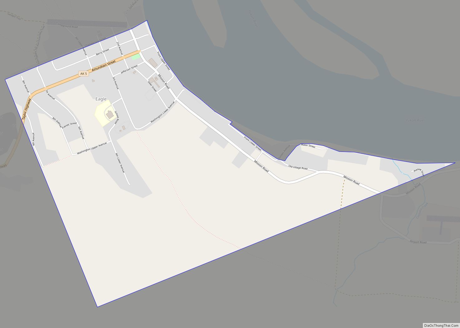
Online Interactive Map
Click on ![]() to view map in "full screen" mode.
to view map in "full screen" mode.
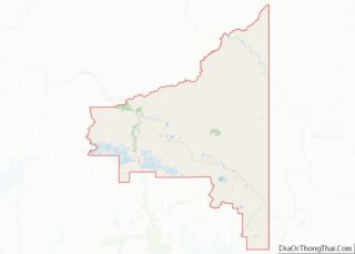
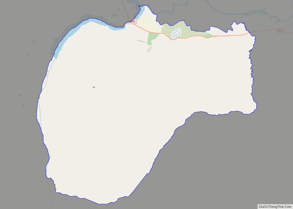
Alcan Border location map. Where is Alcan Border CDP?

History
Alcan Border first appeared on the 1990 U.S. Census as the census-designated place (CDP) of “Alcan.” The name was changed to Alcan Border with the 2000 census.
The name is derived from the Alaska-Canadian (Alcan) highway, now the Alaska Highway, and the fact that its eastern boundary (as defined by the Census Bureau) is the Yukon Territory, Canada border.
The Alcan community consists of families employed by federal customs at the entry point into the U.S. and Alaska from Canada. Students attend school in Northway or are home-schooled through correspondence study. During the 2000 U.S. Census, total housing units numbered 13, and vacant housing units numbered 4. Vacant housing units used only seasonally numbered 2. Census data showed 11 residents as employed. The unemployment rate at that time was 0 percent, although 35.29 percent of all adults were not in the work force. The median household income was $65,000, per capita income was $21,938, and 0 percent of residents were living below the poverty level.
As of the census of 2000, there were 21 people, 9 households, and 6 families residing in the CDP. The population density was 0.1 people per square mile (0.1/km). There were 13 housing units at an average density of 0.1/sq mi (0.0/km). The racial makeup of the CDP was 66.67% White, 23.81% Native American, 4.76% Asian, 4.76% from other races. 9.52% of the population were Hispanic or Latino of any race.
There were 9 households, out of which 33.3% had children under the age of 18 living with them, 66.7% were married couples living together, and 33.3% were non-families. 33.3% of all households were made up of individuals, and none had someone living alone who was 65 years of age or older. The average household size was 2.33 and the average family size was 3.00.
In the CDP, the population was spread out, with 28.6% under the age of 18, 33.3% from 25 to 44, and 38.1% from 45 to 64. The median age was 35 years.
The median income for a household in the CDP was $65,000, and the median income for a family was $87,041. Males had a median income of $77,036 versus $0 for females. The per capita income for the CDP was $21,938. None of the population and none of the families were below the poverty line.
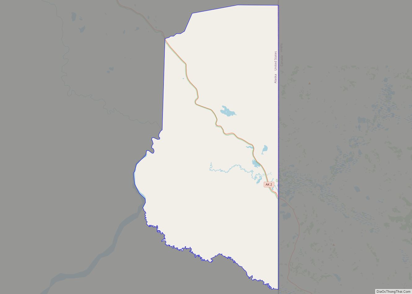
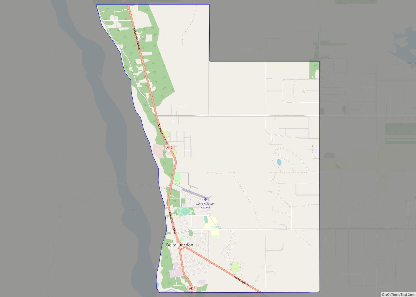
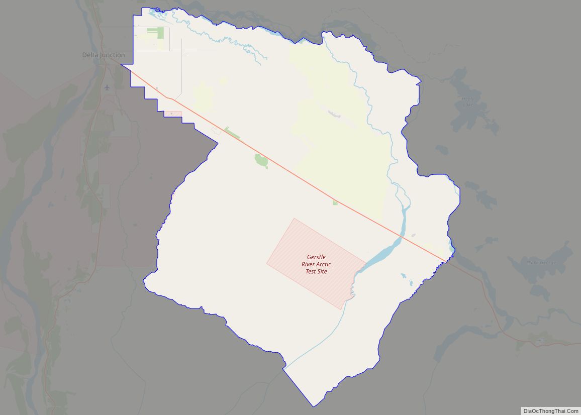
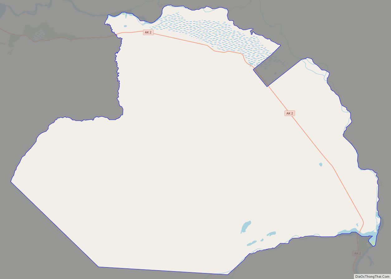
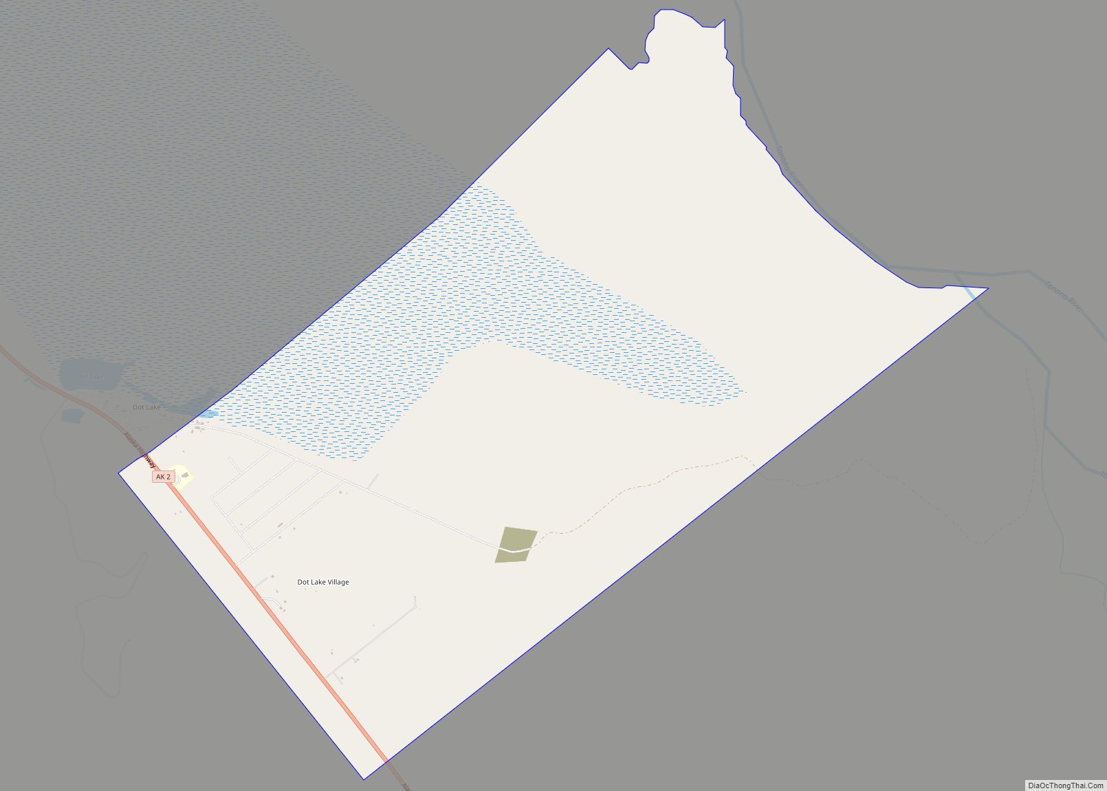
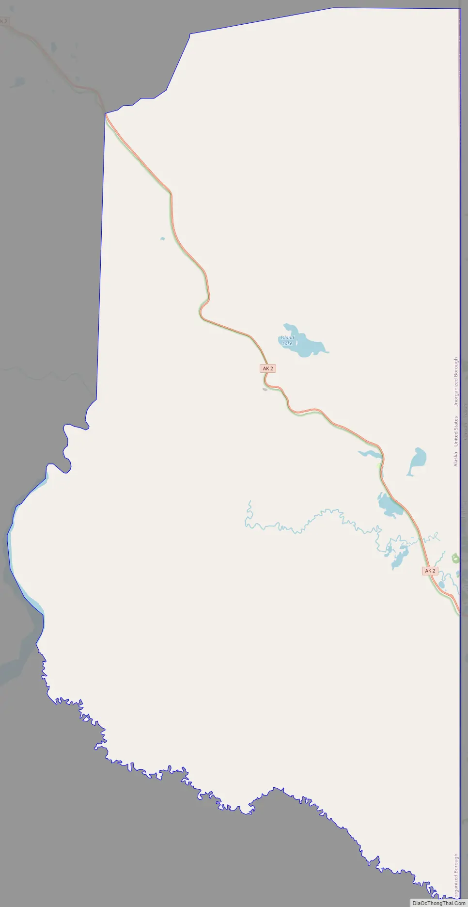
Alcan Border Road Map
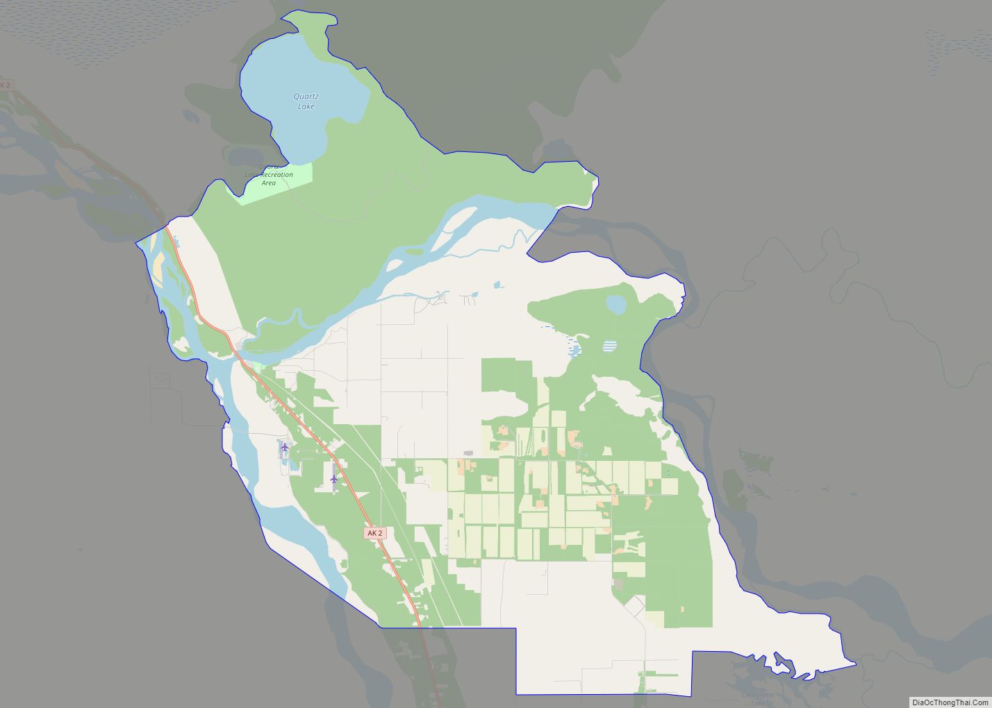
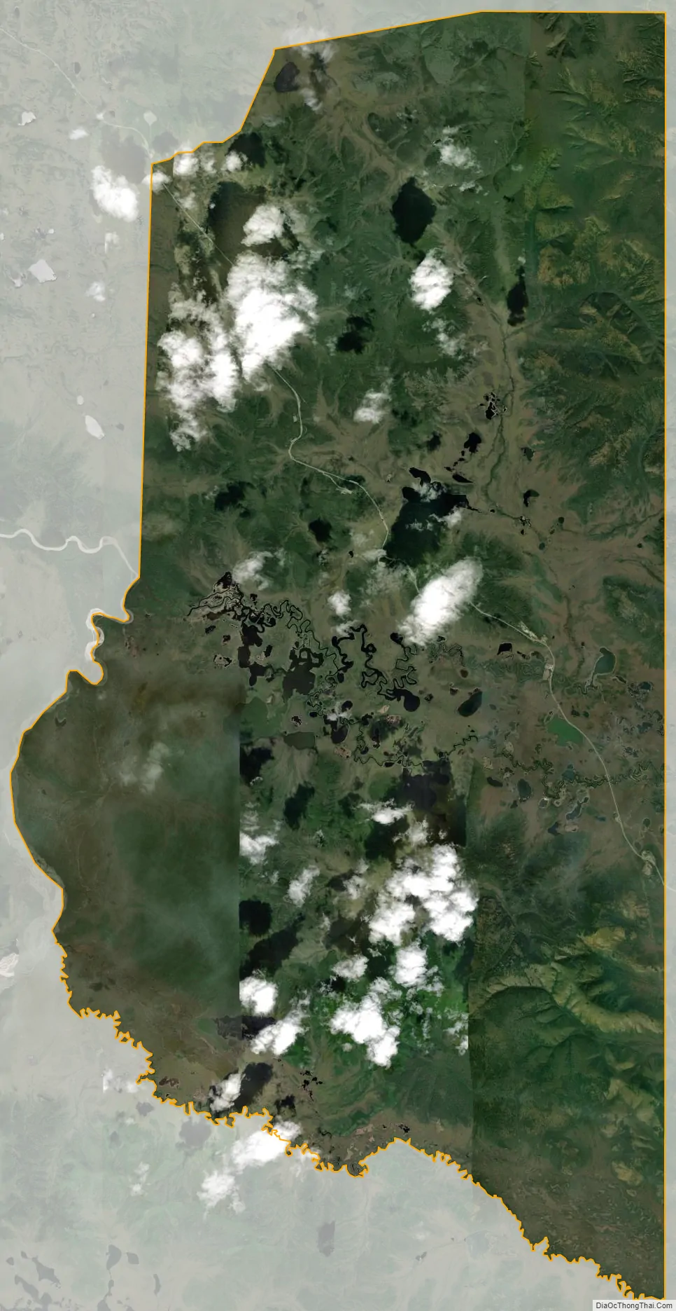
Alcan Border city Satellite Map
See also
Map of Alaska State and its subdivision:- Aleutians East
- Aleutians West
- Anchorage
- Bethel
- Bristol Bay
- Denali
- Dillingham
- Fairbanks North Star
- Haines
- Juneau
- Kenai Peninsula
- Ketchikan Gateway
- Kodiak Island
- Lake and Peninsula
- Matanuska-Susitna
- Nome
- North Slope
- Northwest Arctic
- Prince of Wales-Outer Ketchi
- Sitka
- Skagway-Yakutat-Angoon
- Southeast Fairbanks
- Valdez-Cordova
- Wade Hampton
- Wrangell-Petersburg
- Yukon-Koyukuk
- Alabama
- Alaska
- Arizona
- Arkansas
- California
- Colorado
- Connecticut
- Delaware
- District of Columbia
- Florida
- Georgia
- Hawaii
- Idaho
- Illinois
- Indiana
- Iowa
- Kansas
- Kentucky
- Louisiana
- Maine
- Maryland
- Massachusetts
- Michigan
- Minnesota
- Mississippi
- Missouri
- Montana
- Nebraska
- Nevada
- New Hampshire
- New Jersey
- New Mexico
- New York
- North Carolina
- North Dakota
- Ohio
- Oklahoma
- Oregon
- Pennsylvania
- Rhode Island
- South Carolina
- South Dakota
- Tennessee
- Texas
- Utah
- Vermont
- Virginia
- Washington
- West Virginia
- Wisconsin
- Wyoming