Deltana is a census-designated place (CDP) in Southeast Fairbanks Census Area, Alaska, United States. At the 2020 census the population was 2,359, up from 2,251 in 2010. Native inhabitants are Tanana Athabaskans.
| Name: | Deltana CDP |
|---|---|
| LSAD Code: | 57 |
| LSAD Description: | CDP (suffix) |
| State: | Alaska |
| County: | Southeast Fairbanks Census Area |
| Total Area: | 570.14 sq mi (1,476.65 km²) |
| Land Area: | 568.18 sq mi (1,471.57 km²) |
| Water Area: | 1.96 sq mi (5.08 km²) |
| Total Population: | 2,359 |
| Population Density: | 4.15/sq mi (1.60/km²) |
| ZIP code: | 99737 |
| Area code: | 907 |
| FIPS code: | 0218675 |
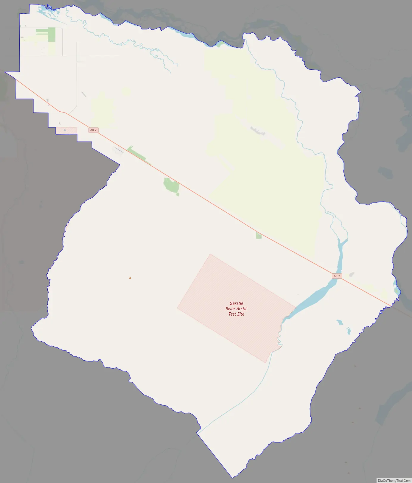
Online Interactive Map
Click on ![]() to view map in "full screen" mode.
to view map in "full screen" mode.
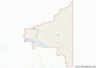
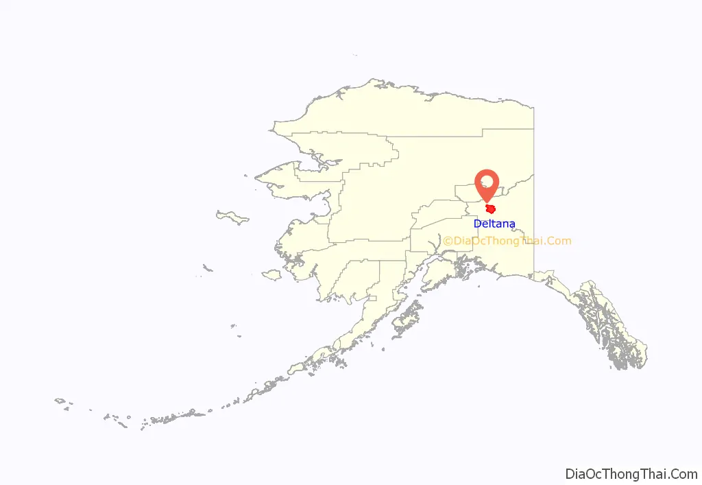
Deltana location map. Where is Deltana CDP?
History
In 1904, the U.S. Army Signal Corps built the McCarty Telegraph station on a site near a roadhouse established the previous year at the confluence of the Tanana and Delta rivers. The Chisana gold strike of 1913 brought many hopeful prospectors to the area. In the 1920s, many American Bison were brought to the area, and in 1927 the name was changed to Buffalo Center.
In 1942, five miles south of Deltana, Fort Greely was constructed. Beef cattle were shipped during the 1950s, and during the 1970s the local economy was given another boost with the completion of the trans-Alaska pipeline.
In 1980, 70,000 acres (280 km) of land were set aside as the Delta Bison Range to confine the bison and separate the expanding herd from local farmland.
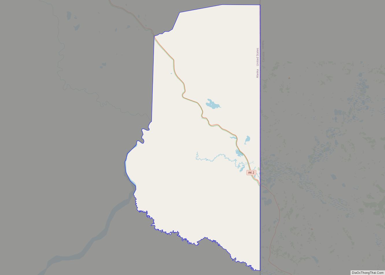
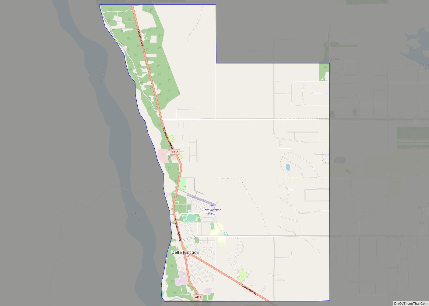
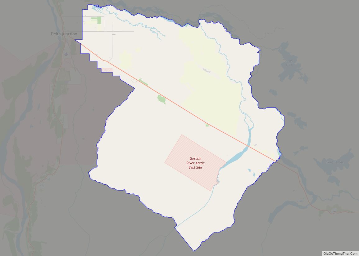
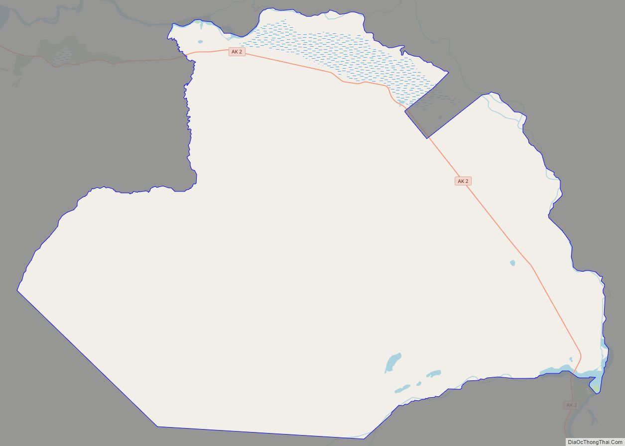
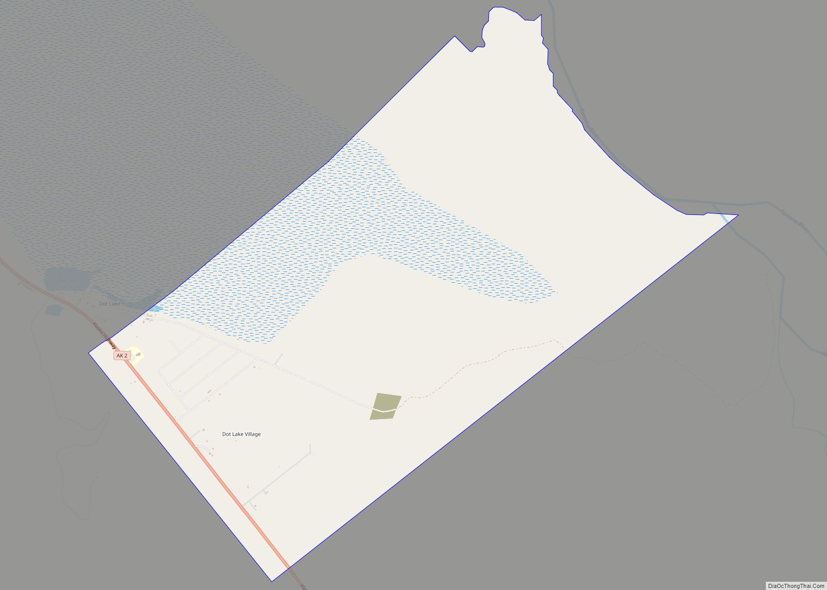
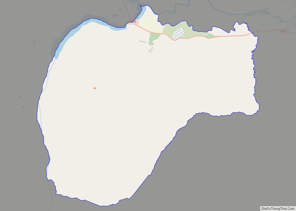
Deltana Road Map
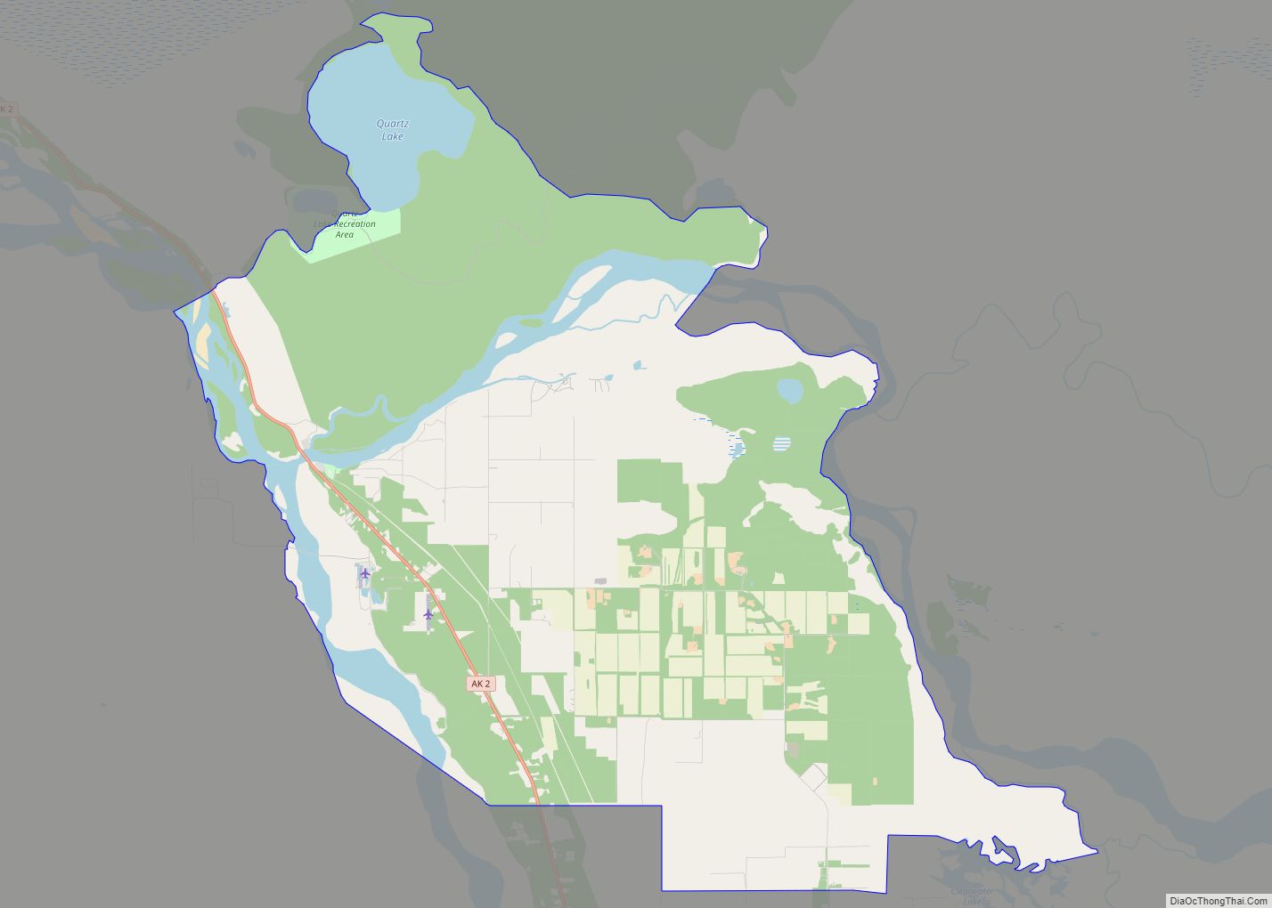
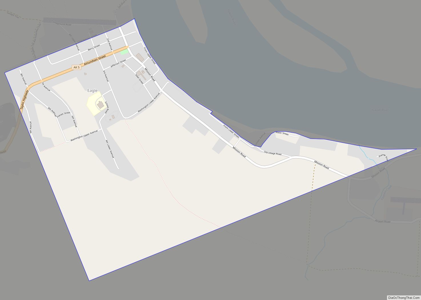
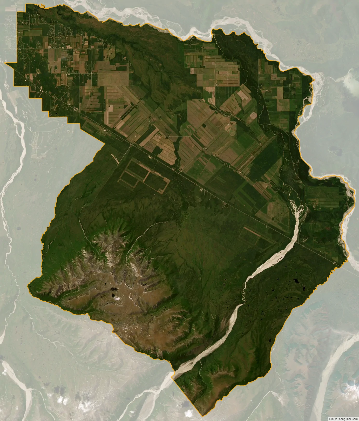
Deltana city Satellite Map
Geography
Deltana is located at 63°57′50″N 145°24′32″W / 63.96389°N 145.40889°W / 63.96389; -145.40889 (63.963825, -145.408931).
According to the United States Census Bureau, the CDP has a total area of 565.2 square miles (1,464 km), of which, 562.2 square miles (1,456 km) of it is land and 3.0 square miles (7.8 km) of it (0.52%) is water.
See also
Map of Alaska State and its subdivision:- Aleutians East
- Aleutians West
- Anchorage
- Bethel
- Bristol Bay
- Denali
- Dillingham
- Fairbanks North Star
- Haines
- Juneau
- Kenai Peninsula
- Ketchikan Gateway
- Kodiak Island
- Lake and Peninsula
- Matanuska-Susitna
- Nome
- North Slope
- Northwest Arctic
- Prince of Wales-Outer Ketchi
- Sitka
- Skagway-Yakutat-Angoon
- Southeast Fairbanks
- Valdez-Cordova
- Wade Hampton
- Wrangell-Petersburg
- Yukon-Koyukuk
- Alabama
- Alaska
- Arizona
- Arkansas
- California
- Colorado
- Connecticut
- Delaware
- District of Columbia
- Florida
- Georgia
- Hawaii
- Idaho
- Illinois
- Indiana
- Iowa
- Kansas
- Kentucky
- Louisiana
- Maine
- Maryland
- Massachusetts
- Michigan
- Minnesota
- Mississippi
- Missouri
- Montana
- Nebraska
- Nevada
- New Hampshire
- New Jersey
- New Mexico
- New York
- North Carolina
- North Dakota
- Ohio
- Oklahoma
- Oregon
- Pennsylvania
- Rhode Island
- South Carolina
- South Dakota
- Tennessee
- Texas
- Utah
- Vermont
- Virginia
- Washington
- West Virginia
- Wisconsin
- Wyoming