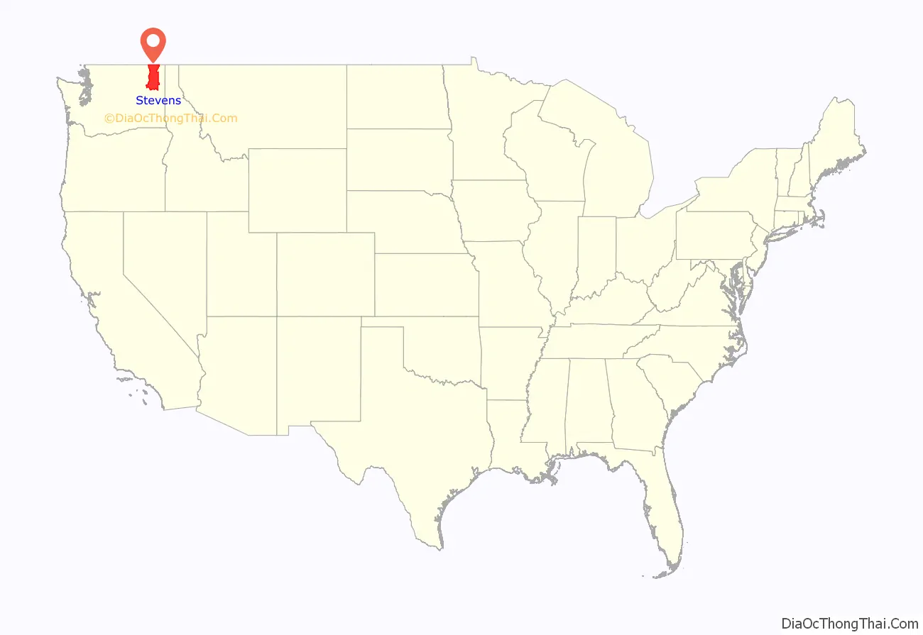
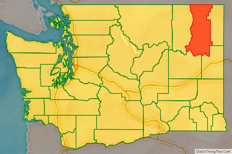
Stevens County is a county located in the U.S. state of Washington along the Canada–US border. At the 2020 census, its population was 46,445. As of July 2021, the population was estimated to be 47,426. The county seat and largest city is Colville. The county was created in 1863 and named after Isaac Stevens, the first governor of Washington Territory.
Stevens County is included in the Spokane-Spokane Valley, WA Metropolitan Statistical Area.
| Name: | Stevens County |
|---|---|
| FIPS code: | 53-065 |
| State: | Washington |
| Founded: | January 20, 1863 |
| Named for: | Isaac Stevens |
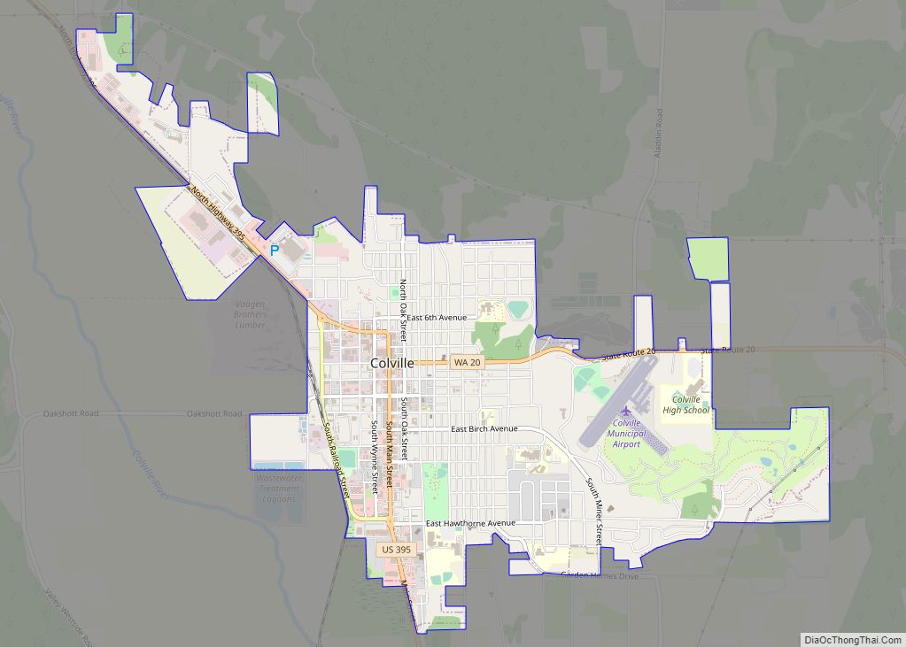
| Seat: | Colville |
| Largest city: | Colville |
| Total Area: | 2,541 sq mi (6,580 km²) |
| Land Area: | 2,478 sq mi (6,420 km²) |
| Total Population: | 46,445 |
| Population Density: | 18/sq mi (7/km²) |
Stevens County location map. Where is Stevens County?
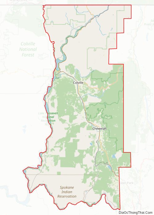
Stevens County Road Map
Geography
According to the United States Census Bureau, the county has a total area of 2,541 square miles (6,580 km), of which 2,478 square miles (6,420 km) is land and 63 square miles (160 km) (2.5%) is water.
Geographic features
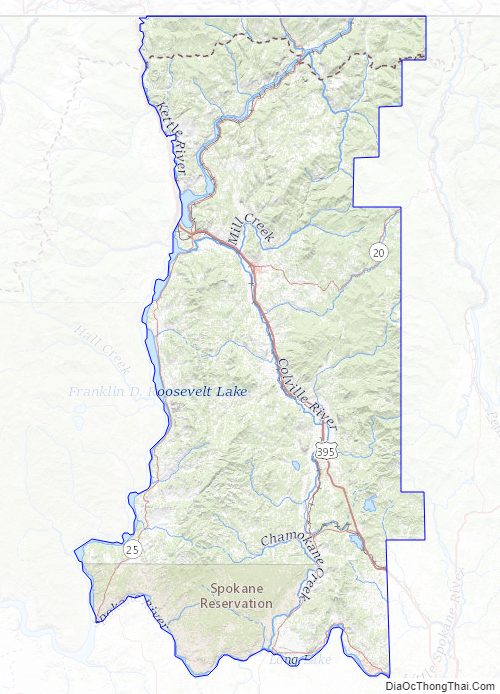
- Columbia River
Adjacent counties
- Pend Oreille County – east
- Spokane County – southeast
- Lincoln County – southwest
- Ferry County – west
- Kootenay Boundary Regional District, British Columbia – northeast
- Regional District of Central Kootenay, British Columbia – north
National protected areas
- Pacific Northwest National Scenic Trail (part)
- Colville National Forest (part)
- Kaniksu National Forest (part)
- Lake Roosevelt National Recreation Area (part)
- Little Pend Oreille National Wildlife Refuge (part)
Stevens County Topographic Map
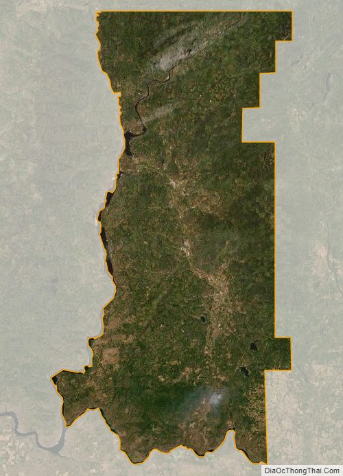
Stevens County Satellite Map
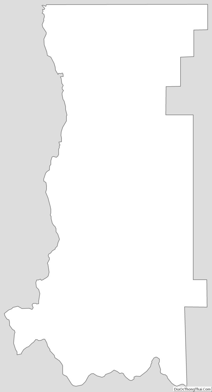
Stevens County Outline Map