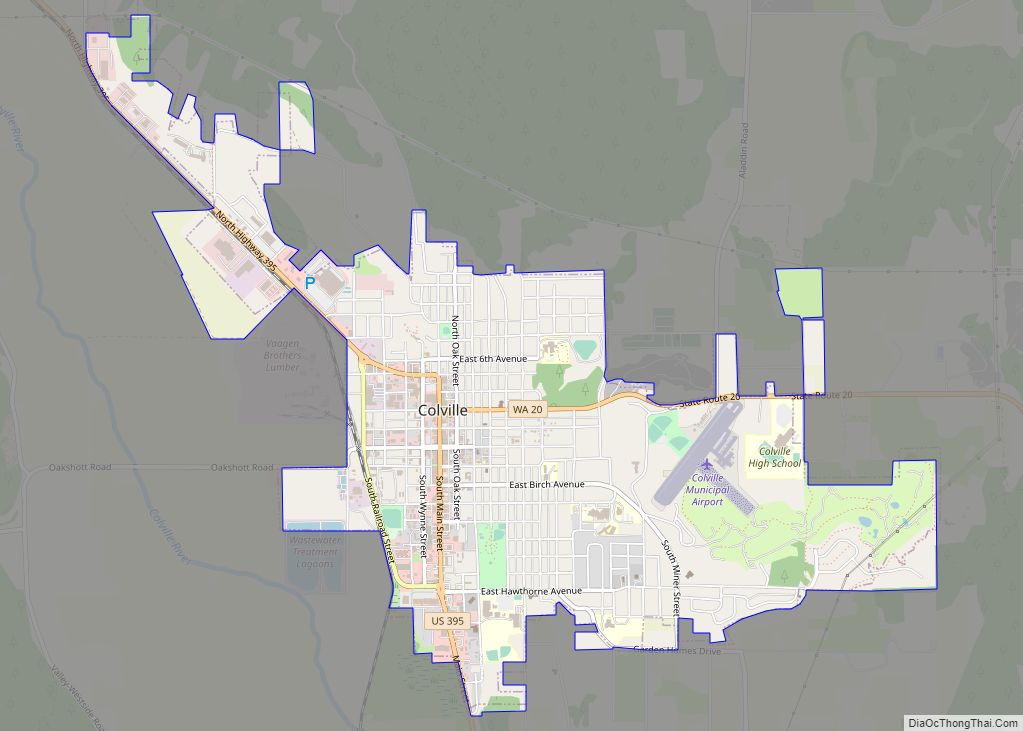
Colville is a city in Stevens County, Washington, United States. The population was 4,673 at the 2010 census. It is the county seat of Stevens County.
| Name: | Colville city |
|---|---|
| LSAD Code: | 25 |
| LSAD Description: | city (suffix) |
| State: | Washington |
| County: | Stevens County |
| Elevation: | 1,614 ft (492 m) |
| Land Area: | 3.08 sq mi (7.99 km²) |
| Water Area: | 0.00 sq mi (0.00 km²) |
| Population Density: | 1,566.80/sq mi (604.93/km²) |
| ZIP code: | 99114 |
| Area code: | 509 |
| FIPS code: | 5314170 |
| GNISfeature ID: | 1517983 |
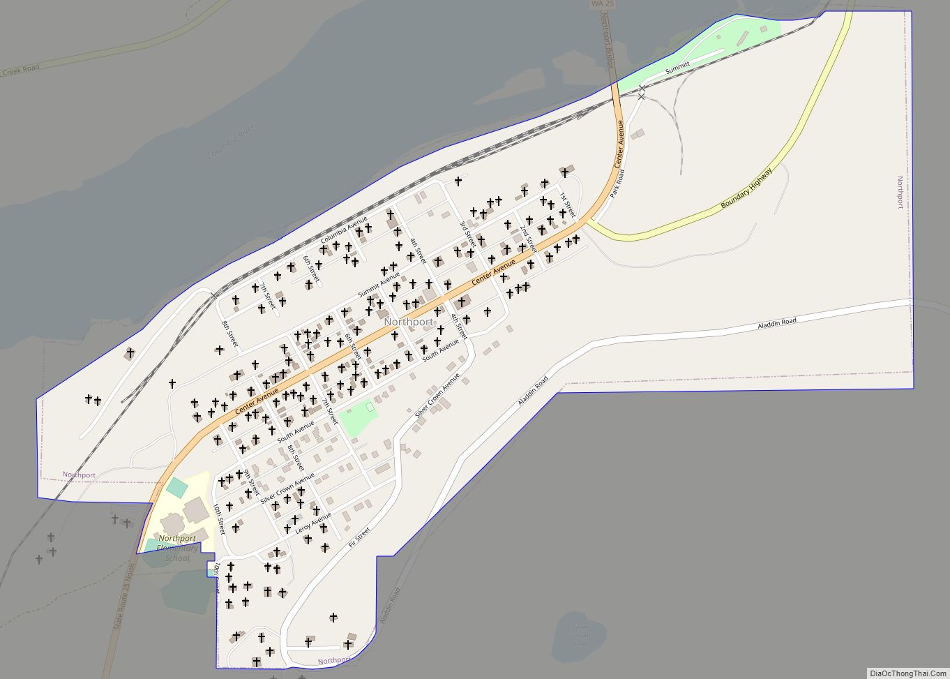
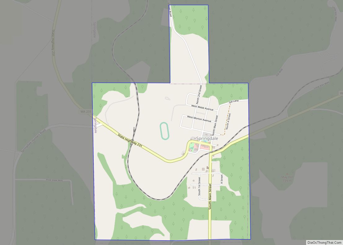
Online Interactive Map
Click on ![]() to view map in "full screen" mode.
to view map in "full screen" mode.
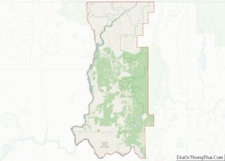
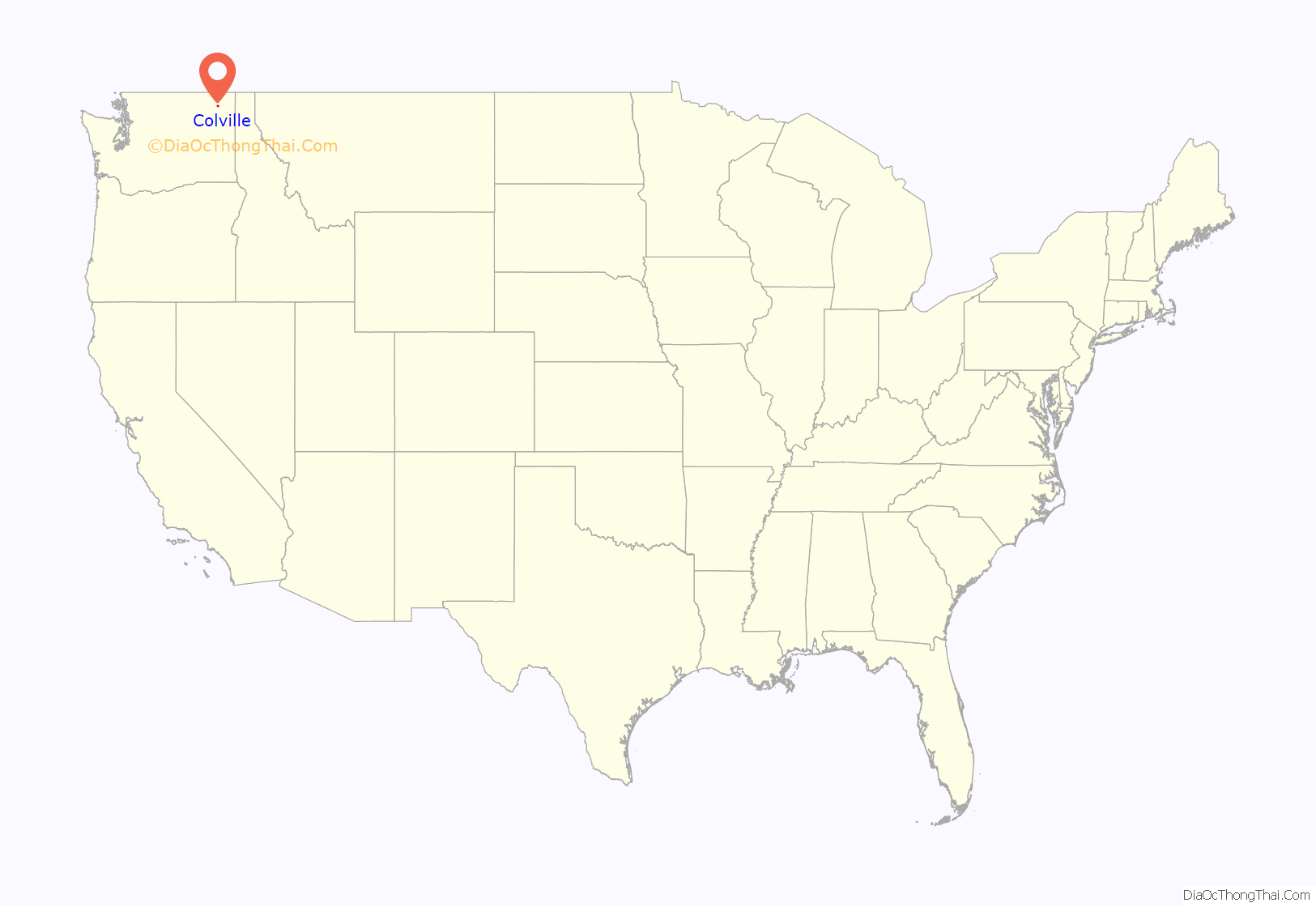
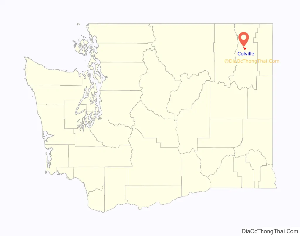
Colville location map. Where is Colville city?
History
John Work, an agent for The Hudson’s Bay Company, established Fort Colvile near the Kettle Falls fur trading site in 1825. It replaced the Spokane House and the Flathead Post as the main trading center on the Upper Columbia River. The area was named for Andrew Colvile, a Hudson’s Bay Company governor. The fort continued to be used for some time as a center of mining and transportation/supply support associated with gold rushes in the 1850s, particularly the Fraser Canyon Gold Rush. After it was abandoned in 1870, some buildings stood until as late as 1910. The site was flooded by Lake Roosevelt after construction of the Grand Coulee Dam on the Columbia River.
Americans also wanted to operate in this territory. In the first half of the 19th century, the Oregon boundary dispute (or Oregon question) arose as a result of competing British and American claims to the Pacific Northwest. It was settled by the Oregon Treaty of 1846, which set the new boundary between Canada and the United States at the 49th Parallel, about Forty (40) miles to the north.
In 1859, the U.S. Army established a new Fort Colville at Pinkney City, Washington, about 3 miles NE of the current city of Colville. That fort was abandoned in 1882. In late 1871, with the resolution of Hudson’s Bay Company land claims, Governor Edward Selig Salomon directed John Wynne to accept those lands which extended south to Orin-Rice Road, including some currently part of the City of Colville. With the planned closure of Fort Colville, businesses and buildings moved to the present location in the Colville River Valley prior to 1882. In January 1883, W. F. Hooker filed the first plat in Stevens County with the name “Belmont” or “Bellmond”. He was encouraged to change the plat name to Colville so that the county seat could be moved to this location. On December 28, 1883, the Stevens County Board of County Commissioners, including county commissioner John U. Hofstetter, held a special session regarding the removal of county records to Belmont from the county seat of Colville, formerly called Pinkney City. In that meeting, commissioners allowed moving the county seat and jail to the town with the name of Colville, if proprietors provided a block of land for them without cost. County officers were allowed to move into a building owned by John U. Hofstetter for two years. On January 1, 1884, the Stevens County courthouse moved to Colville. City tradition says that Colville was founded by John U. Hofstetter. It was officially incorporated as a city on June 7, 1890.
In the 1950s, the Colville Air Force Station was developed and operated 14.7 miles north and east of Colville as part of the Air Defense Command’s network of radar stations. A few buildings remain at the site today. It is used largely by paint-ballers.
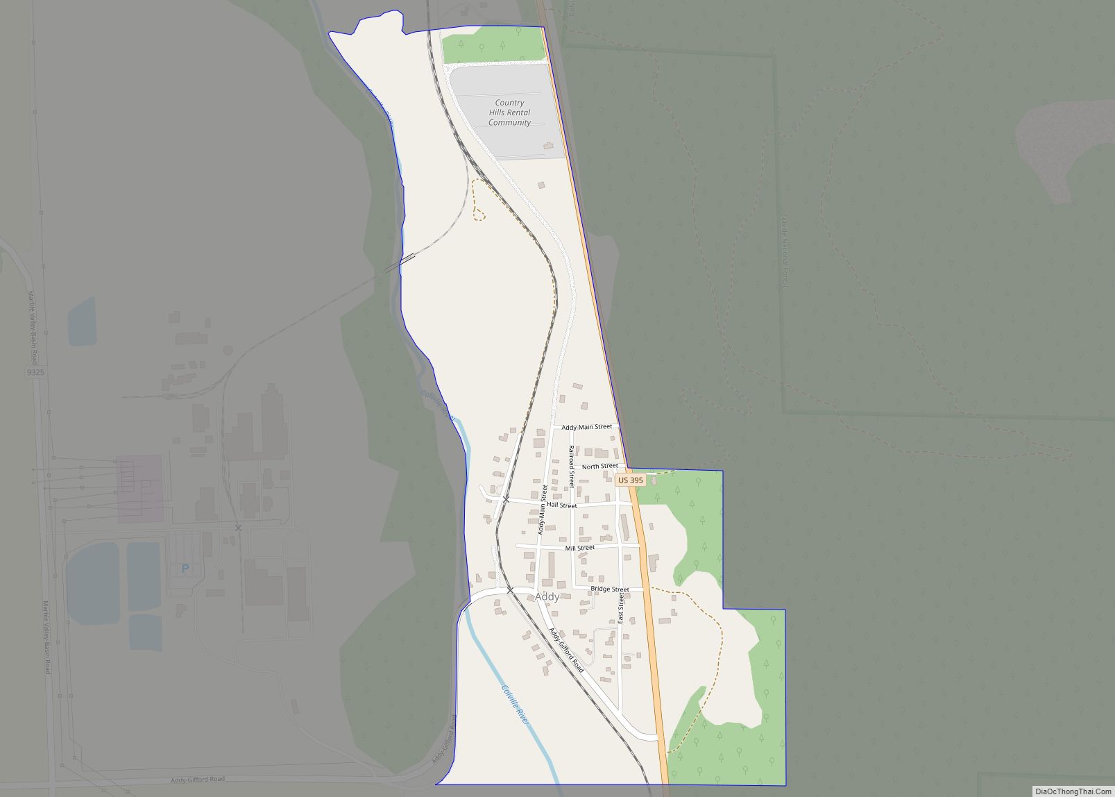
Colville Road Map

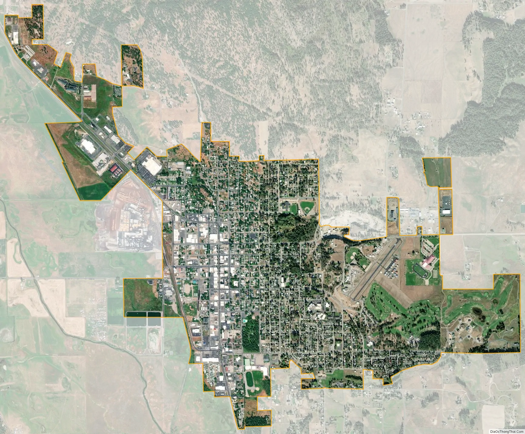
Colville city Satellite Map
Geography
According to the United States Census Bureau, the city has a total area of 2.93 square miles (7.59 km), all of it land.
Climate
This climatic region is typified by large seasonal temperature differences, with warm to hot (and often humid) summers and cold (sometimes severely cold) winters. According to the Köppen Climate Classification system, Colville has a continental Mediterranean climate, abbreviated Dsb on climate maps.
See also
Map of Washington State and its subdivision:- Adams
- Asotin
- Benton
- Chelan
- Clallam
- Clark
- Columbia
- Cowlitz
- Douglas
- Ferry
- Franklin
- Garfield
- Grant
- Grays Harbor
- Island
- Jefferson
- King
- Kitsap
- Kittitas
- Klickitat
- Lewis
- Lincoln
- Mason
- Okanogan
- Pacific
- Pend Oreille
- Pierce
- San Juan
- Skagit
- Skamania
- Snohomish
- Spokane
- Stevens
- Thurston
- Wahkiakum
- Walla Walla
- Whatcom
- Whitman
- Yakima
- Alabama
- Alaska
- Arizona
- Arkansas
- California
- Colorado
- Connecticut
- Delaware
- District of Columbia
- Florida
- Georgia
- Hawaii
- Idaho
- Illinois
- Indiana
- Iowa
- Kansas
- Kentucky
- Louisiana
- Maine
- Maryland
- Massachusetts
- Michigan
- Minnesota
- Mississippi
- Missouri
- Montana
- Nebraska
- Nevada
- New Hampshire
- New Jersey
- New Mexico
- New York
- North Carolina
- North Dakota
- Ohio
- Oklahoma
- Oregon
- Pennsylvania
- Rhode Island
- South Carolina
- South Dakota
- Tennessee
- Texas
- Utah
- Vermont
- Virginia
- Washington
- West Virginia
- Wisconsin
- Wyoming