Berrien County is a county located in the south central portion of the U.S. state of Georgia. As of the 2020 census, the population was 18,160. The county seat is Nashville. The county was created February 25, 1856 out of portions of Coffee, Irwin and Lowndes Counties by an act of the Georgia General Assembly. It is named after Georgia senator John M. Berrien.
| Name: | Berrien County |
|---|---|
| FIPS code: | 13-019 |
| State: | Georgia |
| Founded: | 1856 |
| Named for: | John M. Berrien |
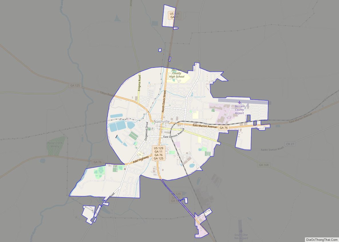
| Seat: | Nashville |
| Largest city: | Nashville |
| Total Area: | 458 sq mi (1,190 km²) |
| Land Area: | 452 sq mi (1,170 km²) |
| Total Population: | 18,160 |
| Population Density: | 40/sq mi (20/km²) |
| Time zone: | UTC−5 (Eastern) |
| Summer Time Zone (DST): | UTC−4 (EDT) |
| Website: | www.berriencountygeorgia.com |
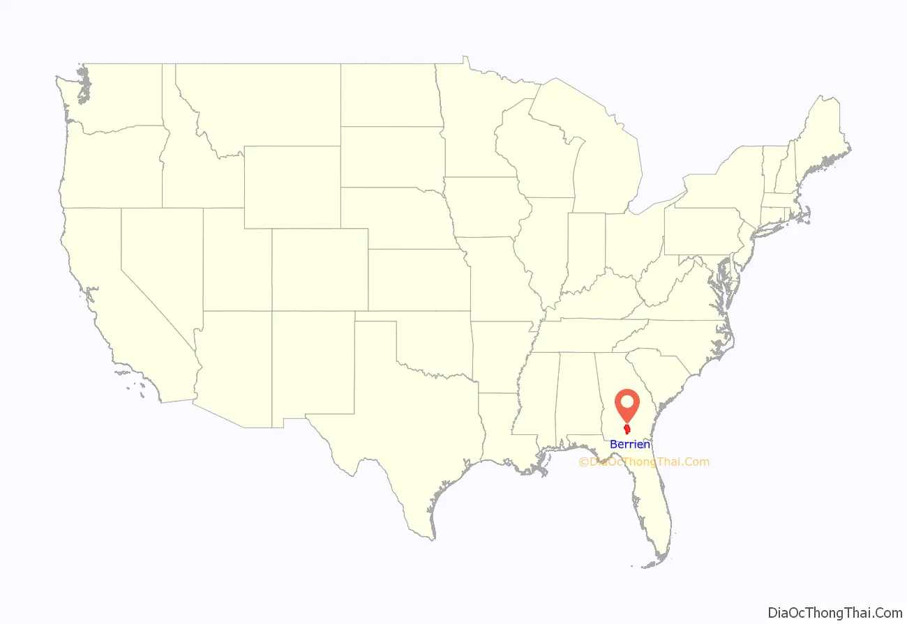
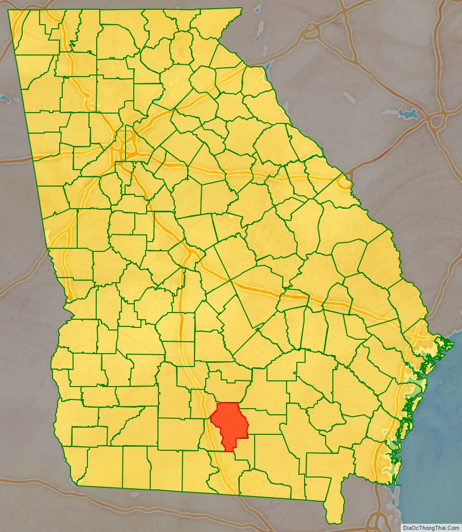
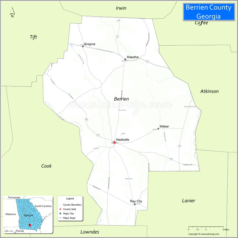
Berrien County location map. Where is Berrien County?
History
Establishment
The citizens of the area of Lowndes County and Irwin County that would become Berrien County had to travel long distances to get the county courthouse at Franklinville, Georgia and later Troupville, Georgia for those in Lowndes County, and Irwinville, Georgia for those in Irwin County. By at least June 1853, citizens had petitioned to form a new county. The 1853 attempt of a new county failed. By 1856, a renewed attempt at the creation of a new county was successful.
World War I
Berrien County lost a disproportionate number of men in World War I in part because companies at that time were organized by militia districts at home. Eight weeks before the Armistice, 25 Berrien County men were among the 200 recently enlisted soldiers who perished at sea off the coast of Scotland. Many of the bodies were returned to the soldiers’ hometowns for burial, and the names of the dead were engraved on a memorial located on the courthouse grounds in Nashville. The memorial was the first in a series of pressed copper sculptures by artist E. M. Viquesney entitled The Spirit of the American Doughboy.
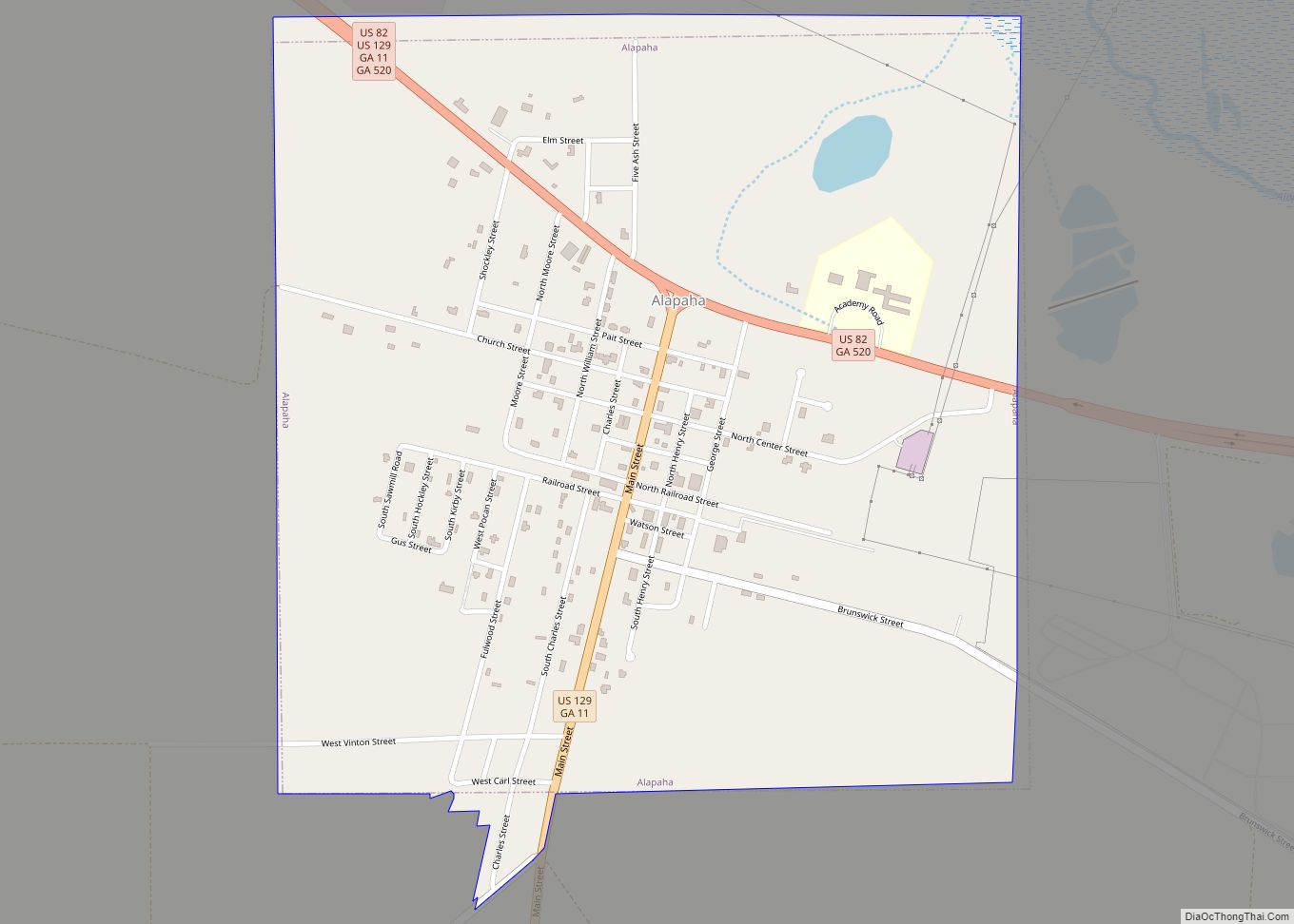
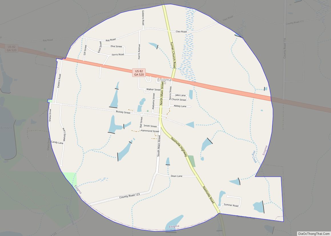
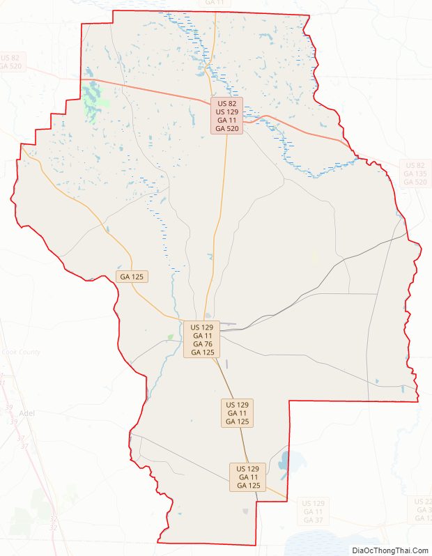
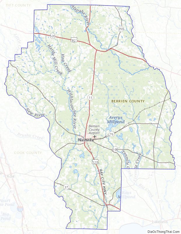
Berrien County Road Map
Geography
According to the U.S. Census Bureau, the county has a total area of 458 square miles (1,190 km), of which 452 square miles (1,170 km) is land and 6.0 square miles (16 km) (1.3%) is water.
The western portion of Berrien County, from just north of U.S. Route 82 and roughly west of U.S. Route 129 heading south, is located in the Withlacoochee River sub-basin of the Suwannee River basin. The eastern portion of the county is located in the Alapaha River sub-basin of the larger Suwannee River basin.
Major highways
- U.S. Route 82
- U.S. Route 129
- State Route 11
- State Route 37
- State Route 64
- State Route 76
- State Route 125
- State Route 135
- State Route 158
- State Route 168
- State Route 520
Adjacent counties
- Irwin County – north
- Coffee County – northeast
- Atkinson County – east
- Lanier County – southeast
- Lowndes County – south
- Cook County – west
- Tift County – northwest
Berrien County Topographic Map
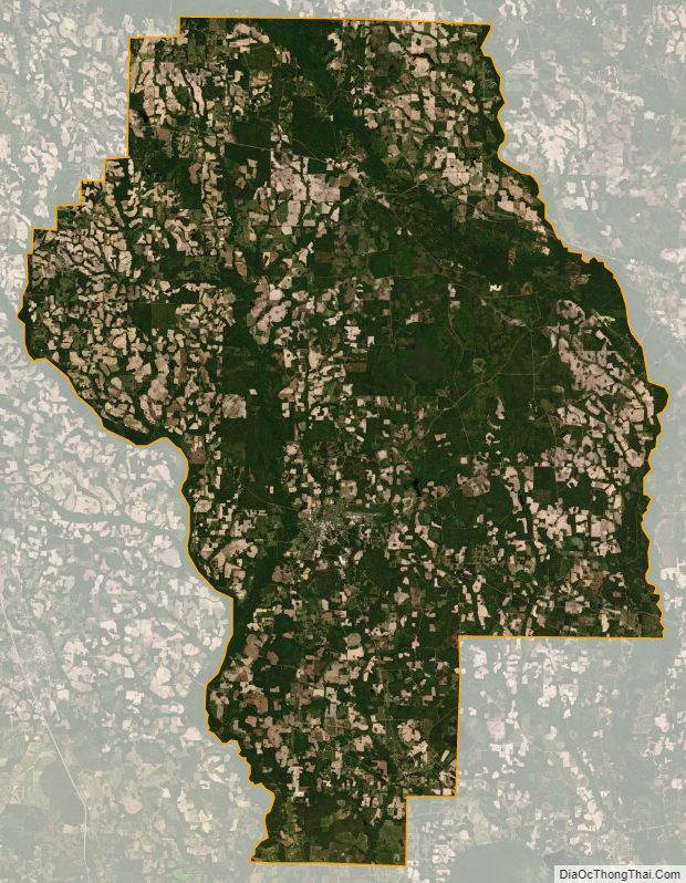
Berrien County Satellite Map
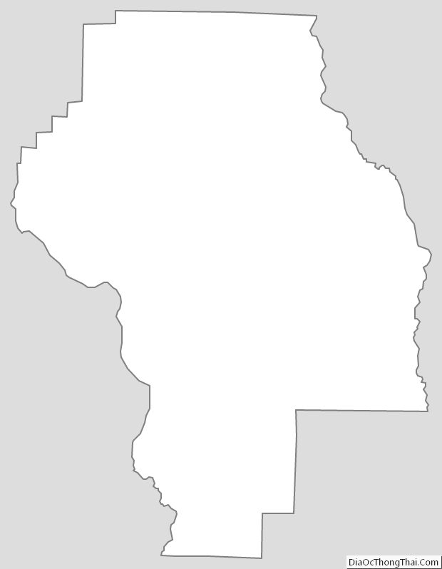
Berrien County Outline Map