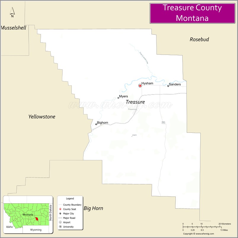
Treasure County is a county in the U.S. state of Montana. As of the 2020 census, the population was 762, making it the second-least populous county in Montana. Its county seat is Hysham. The county was founded in 1919.
| Name: | Treasure County |
|---|---|
| FIPS code: | 30-103 |
| State: | Montana |
| Founded: | 1919 |
| Seat: | Hysham |
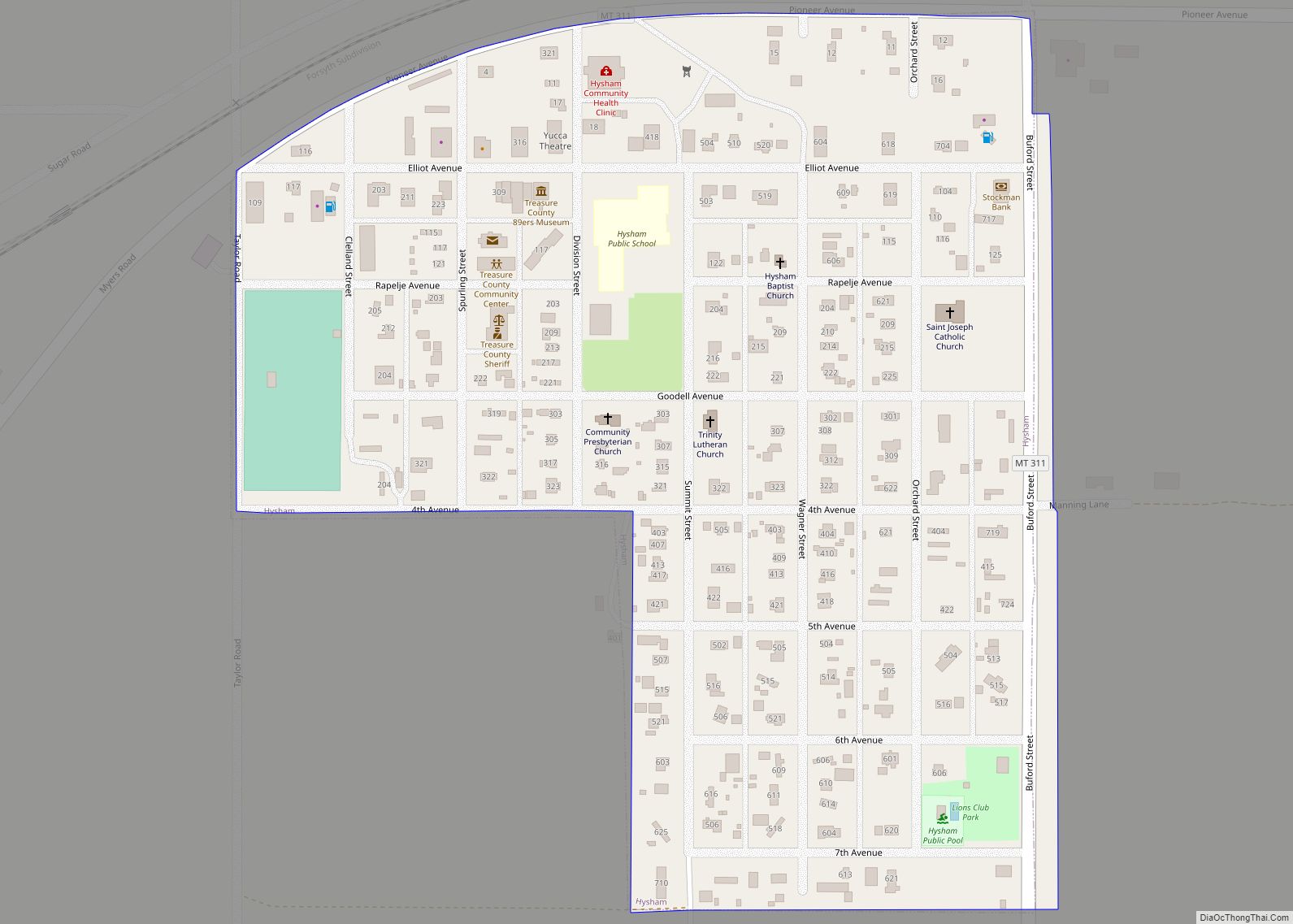
| Largest town: | Hysham |
| Total Area: | 984 sq mi (2,550 km²) |
| Land Area: | 977 sq mi (2,530 km²) |
| Total Population: | 762 |
| Population Density: | 0.77/sq mi (0.30/km²) |
| Time zone: | UTC−7 (Mountain) |
| Summer Time Zone (DST): | UTC−6 (MDT) |
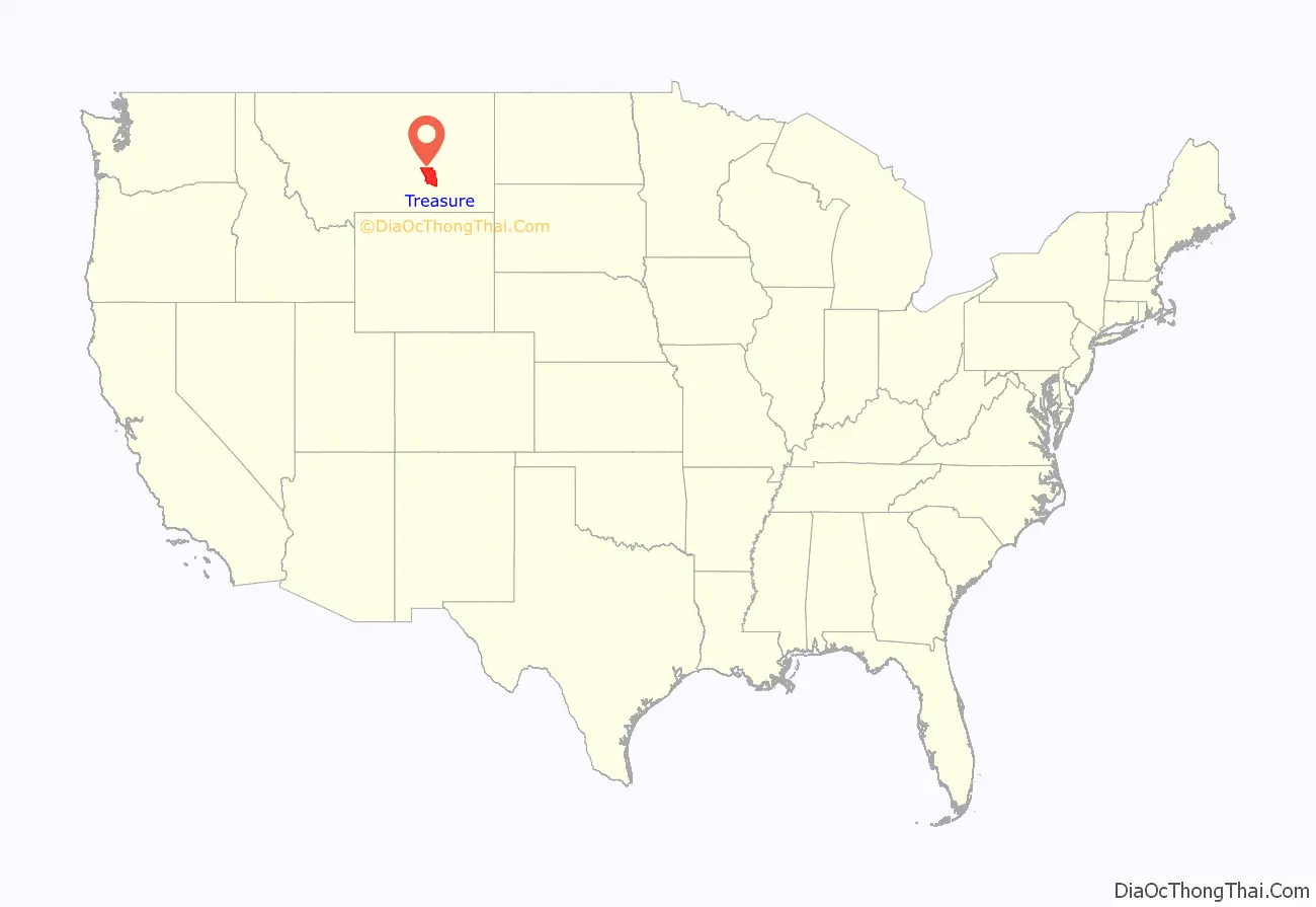
Treasure County location map. Where is Treasure County?
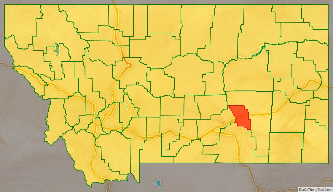
Treasure County Road Map
Geography
According to the United States Census Bureau, the county has a total area of 984 square miles (2,550 km), of which 977 square miles (2,530 km) is land and 6.6 square miles (17 km) (0.7%) is water. It is the fourth-smallest county in Montana by land area.
Major highways
- I-94
- US 10 (Former)
- S-311
Adjacent counties
- Rosebud County – northeast
- Big Horn County – south
- Yellowstone County – west
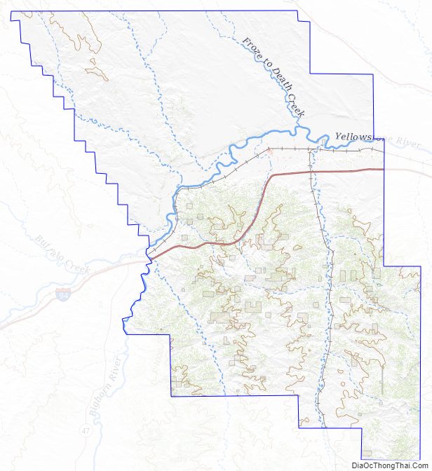
Treasure County Topographic Map
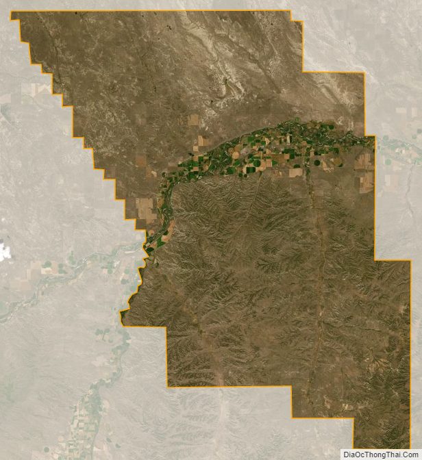
Treasure County Satellite Map
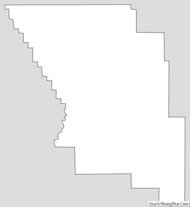
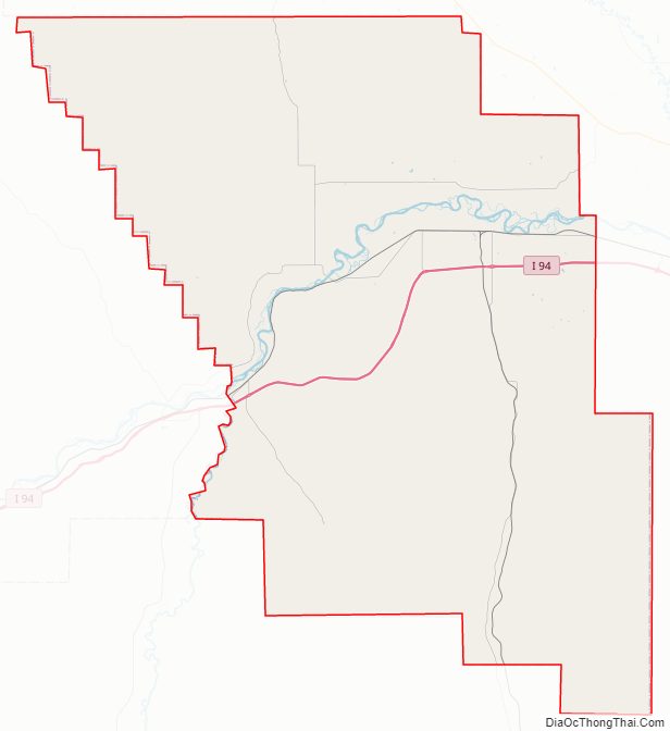
Treasure County Outline Map