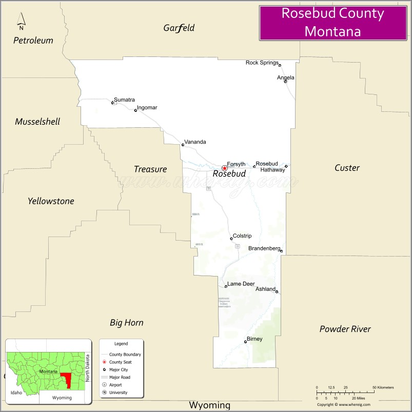
Rosebud County is a county in the state of Montana. It was established February 11, 1901, and has Montana vehicle license plate prefix 29. As of the 2020 census, the population was 8,329. Its county seat is Forsyth.
| Name: | Rosebud County |
|---|---|
| FIPS code: | 30-087 |
| State: | Montana |
| Founded: | February 11, 1901 |
| Named for: | Rosebud River |
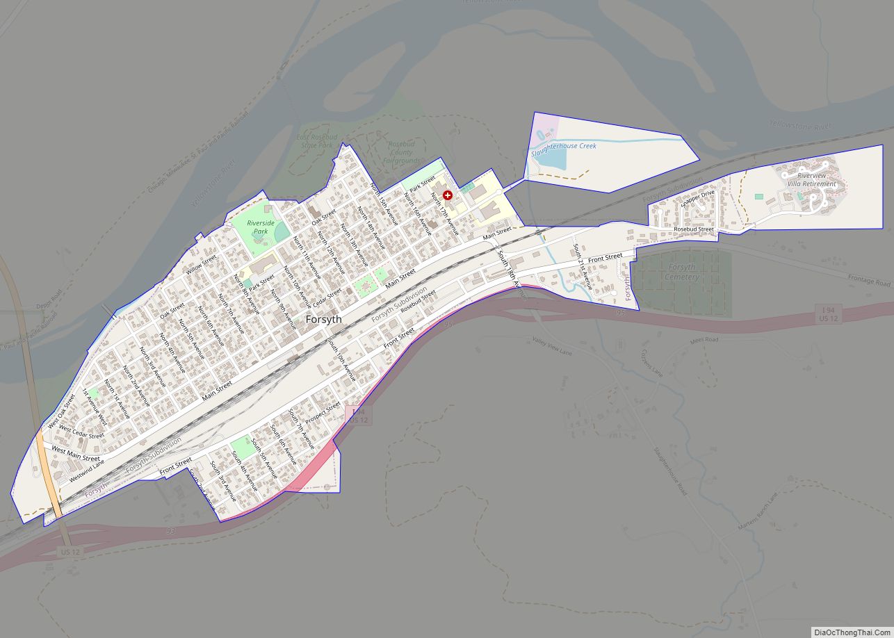
| Seat: | Forsyth |
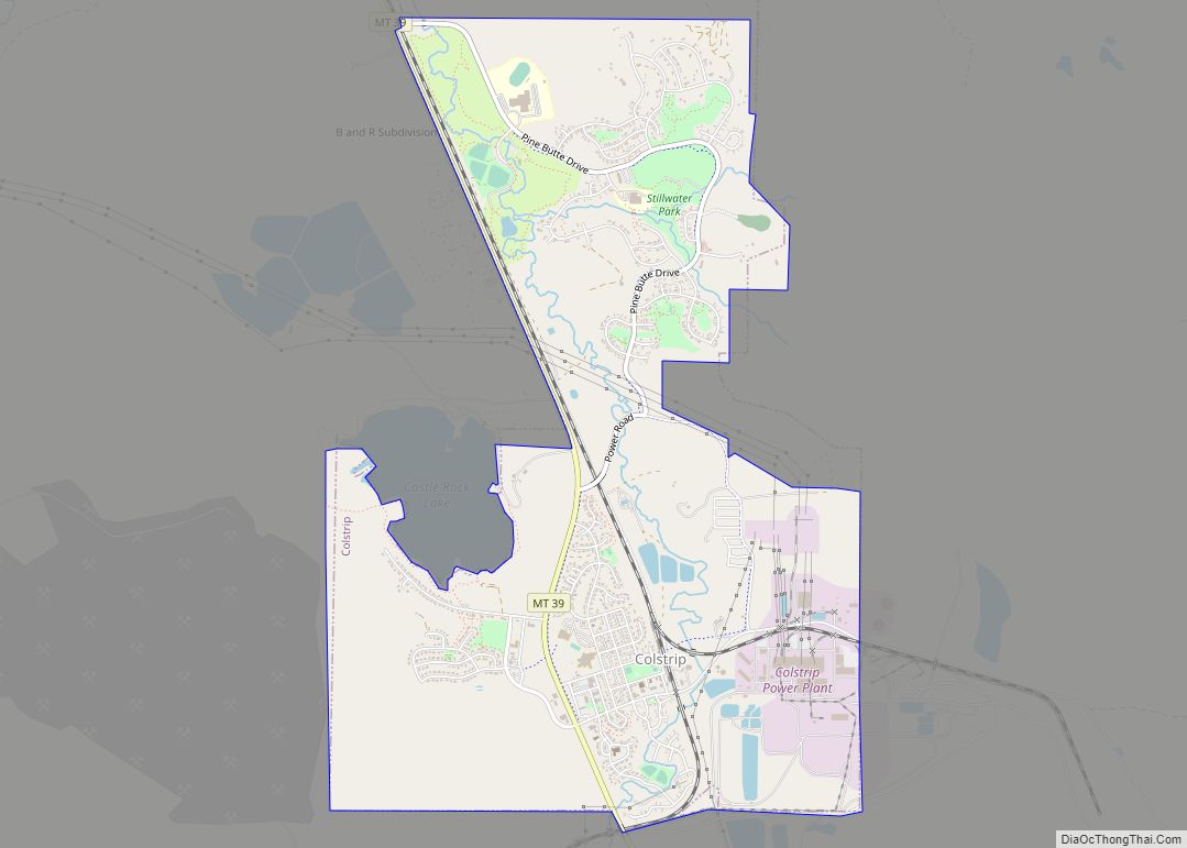
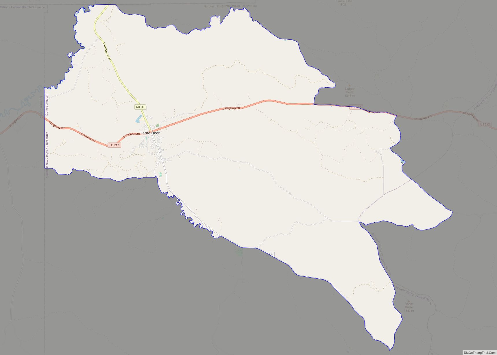
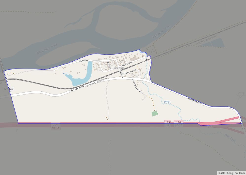
| Largest city: | Colstrip |
| Total Area: | 5,027 sq mi (13,020 km²) |
| Land Area: | 5,010 sq mi (13,000 km²) |
| Total Population: | 8,329 |
| Population Density: | 1.7/sq mi (0.64/km²) |
| Time zone: | UTC−7 (Mountain) |
| Summer Time Zone (DST): | UTC−6 (MDT) |
| Website: | rosebudcountymt.gov |
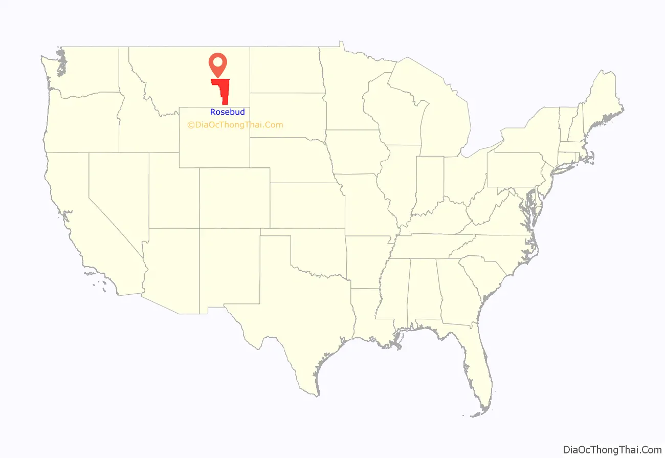
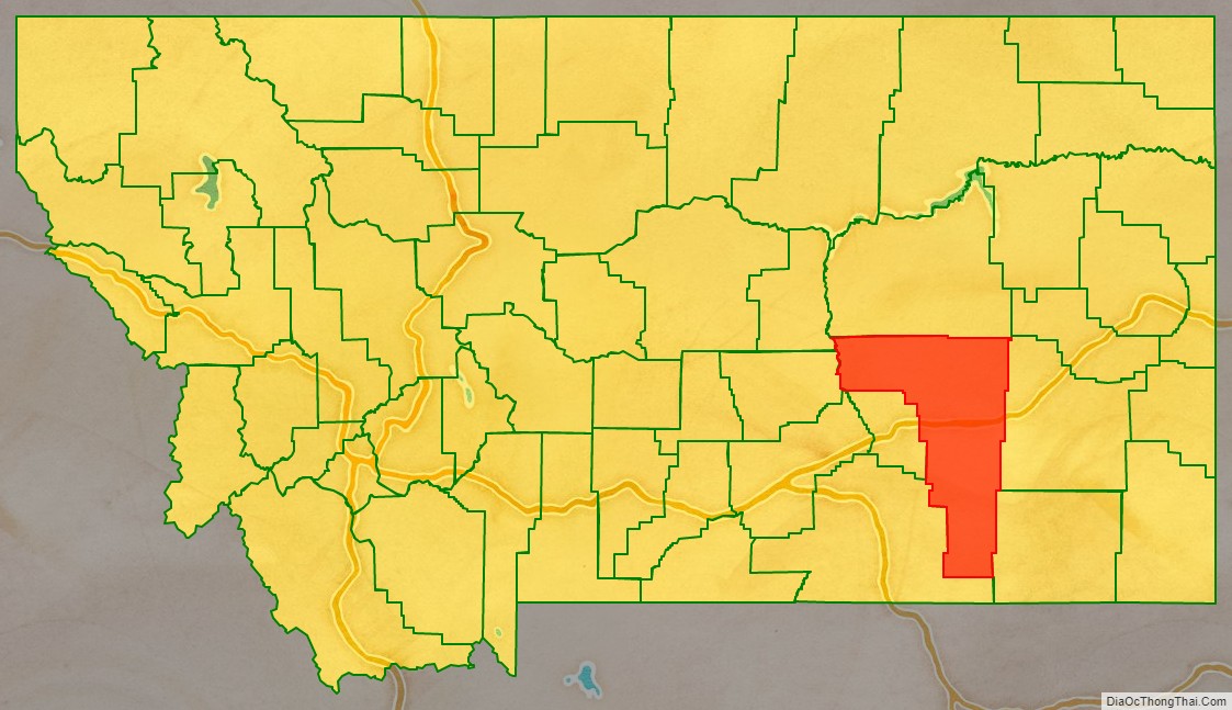
Rosebud County location map. Where is Rosebud County?
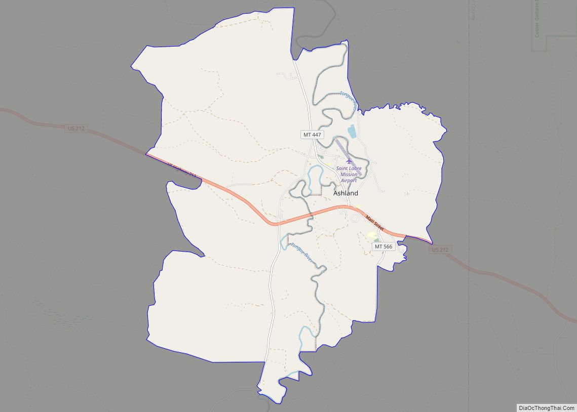
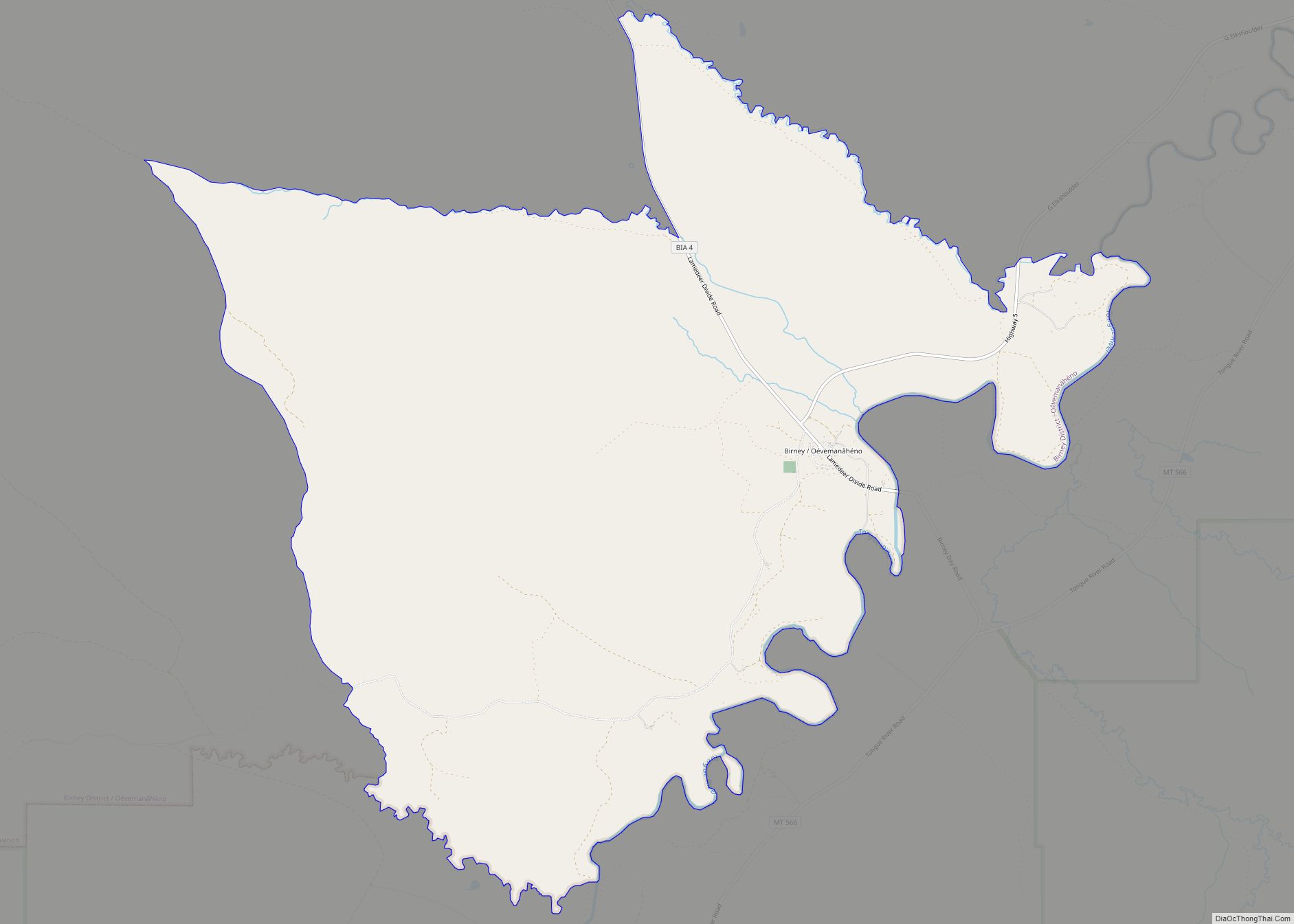
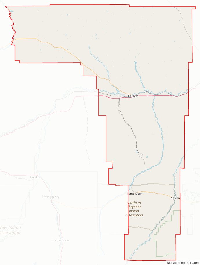
Rosebud County Road Map
Geography
According to the United States Census Bureau, the county has a total area of 5,027 square miles (13,020 km), of which 5,010 square miles (13,000 km) is land and 17 square miles (44 km) (0.3%) is water. It is the fourth-largest county in Montana by land area and fifth-largest by total area. Part of Custer National Forest is located in the county.
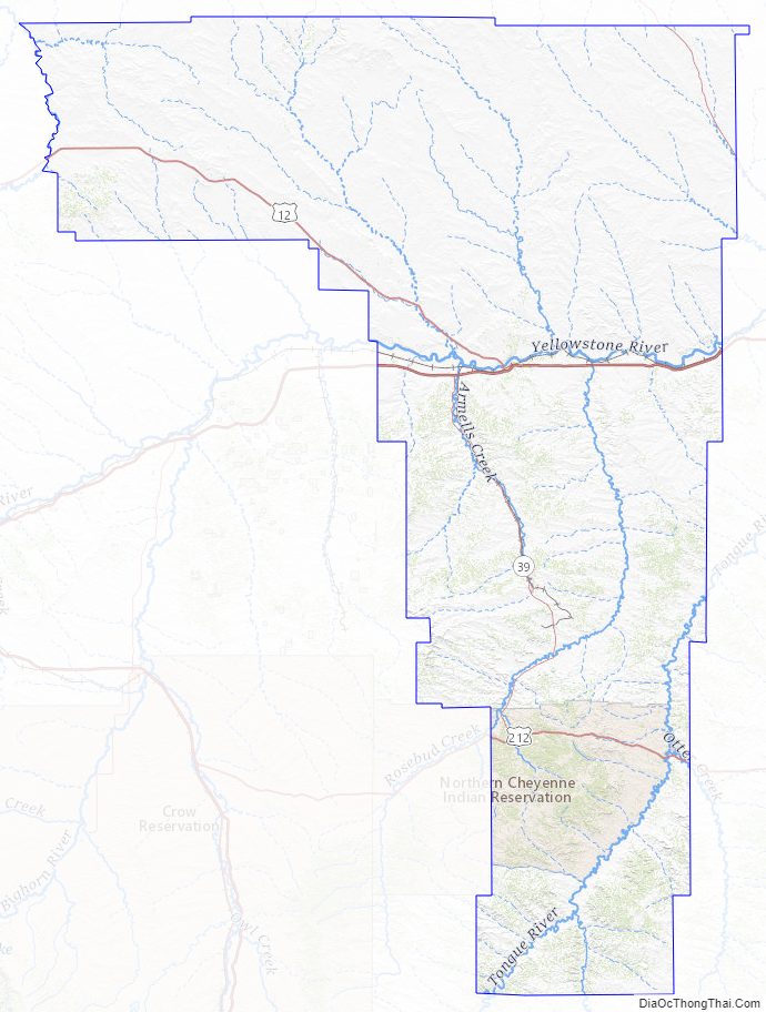
Rosebud County Topographic Map
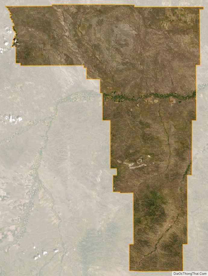
Rosebud County Satellite Map
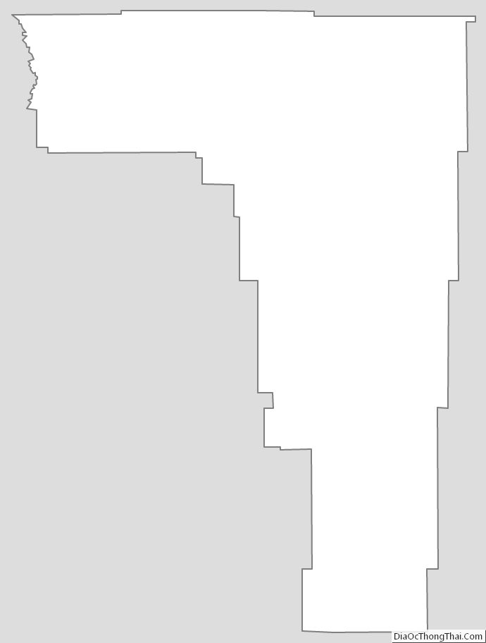
Rosebud County Outline Map