Trinity County is a county located in the U.S. state of Texas. As of the 2020 census, the population was 13,602. Its county seat is Groveton. The county is named for the Trinity River.
Trinity County is included in the Huntsville, TX Micropolitan Statistical Area, which is also included in the Houston-The Woodlands, TX Combined Statistical Area.
| Name: | Trinity County |
|---|---|
| FIPS code: | 48-455 |
| State: | Texas |
| Founded: | 1850 |
| Named for: | Trinity River |
| Seat: | Groveton |
| Largest city: | Trinity |
| Total Area: | 714 sq mi (1,850 km²) |
| Land Area: | 694 sq mi (1,800 km²) |
| Total Population: | 13,602 |
| Population Density: | 19/sq mi (7.4/km²) |
| Time zone: | UTC−6 (Central) |
| Summer Time Zone (DST): | UTC−5 (CDT) |
| Website: | www.co.trinity.tx.us |
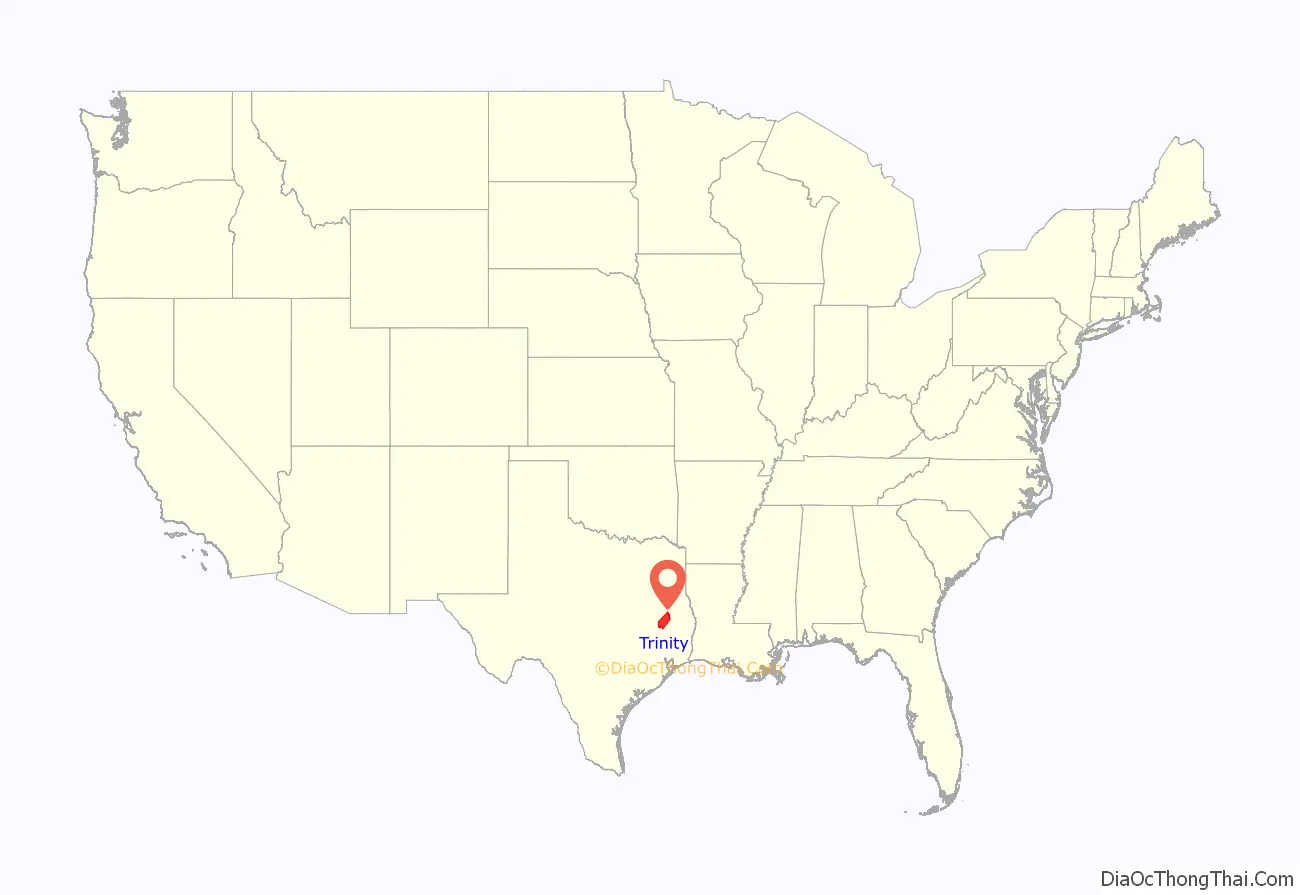
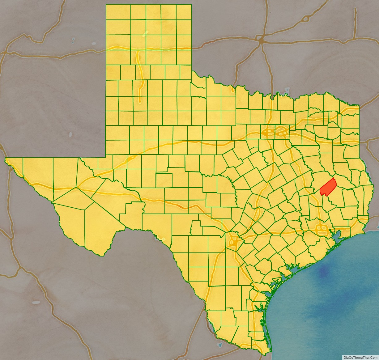
Trinity County location map. Where is Trinity County?
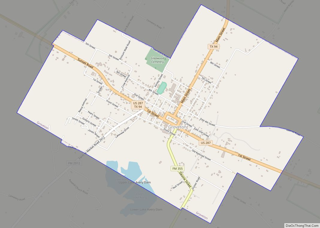
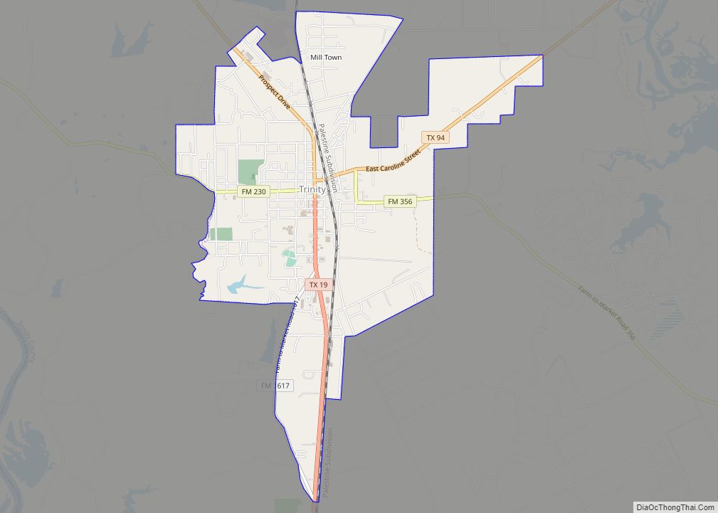
Trinity County Road Map
Geography
According to the U.S. Census Bureau, the county has a total area of 714 square miles (1,850 km), of which 694 square miles (1,800 km) is land and 20 square miles (52 km) (2.9%) is water.
Adjacent counties
- Angelina County (northeast)
- Polk County (southeast)
- San Jacinto County (south)
- Walker County (southwest)
- Houston County (northwest)
National protected area
- Davy Crockett National Forest (part)
