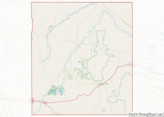
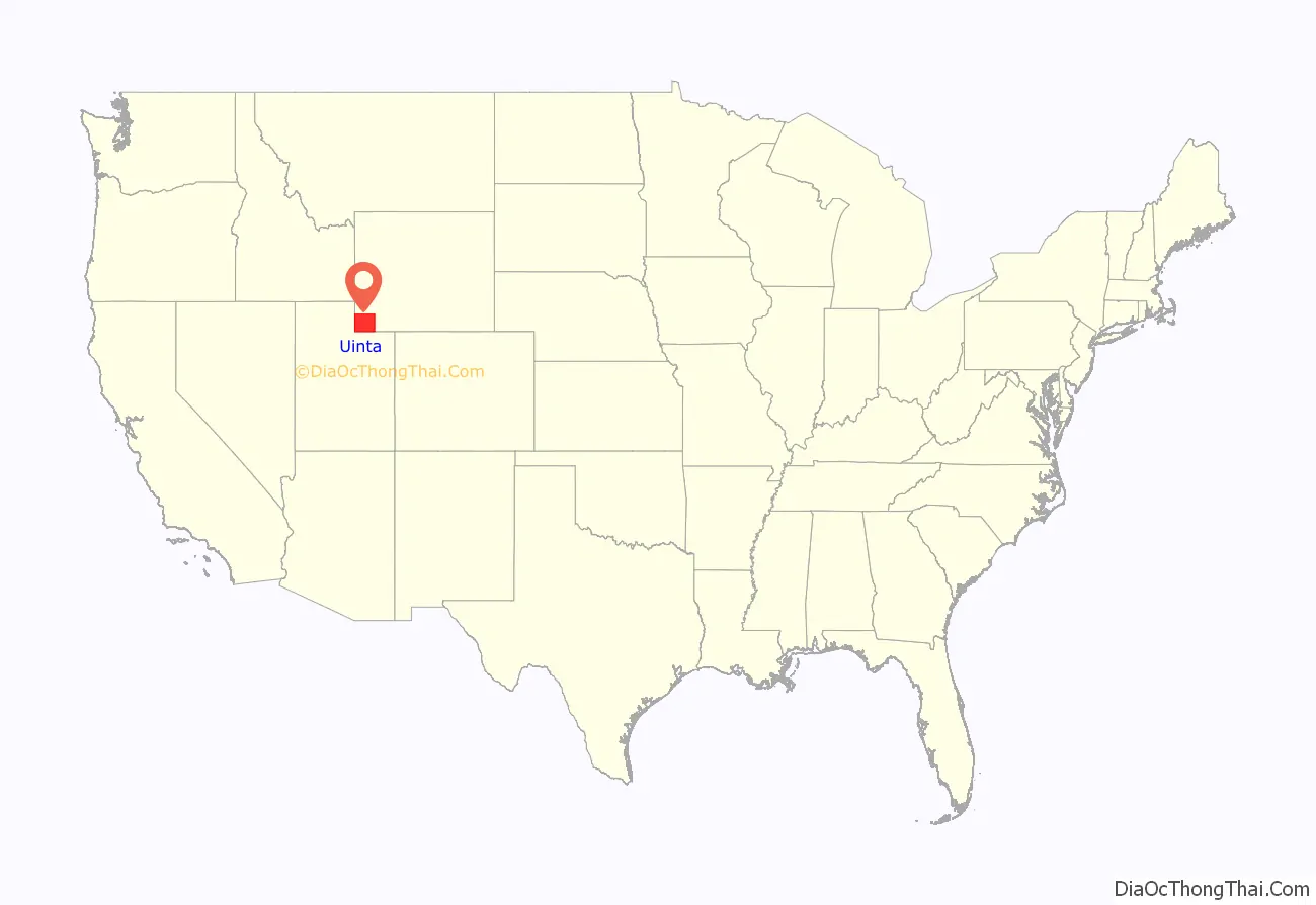
Uinta County (/juːˈɪntə/ yoo-IN-tə) is a county in the U.S. state of Wyoming. As of the 2020 United States Census, the population was 20,450. Its county seat is Evanston. Its south and west boundary lines abut the Utah state line.
Uinta County comprises the Evanston, WY Micropolitan Statistical Area.
| Name: | Uinta County |
|---|---|
| FIPS code: | 56-041 |
| State: | Wyoming |
| Founded: | December 1, 1869 |
| Named for: | Uinta Mountains |
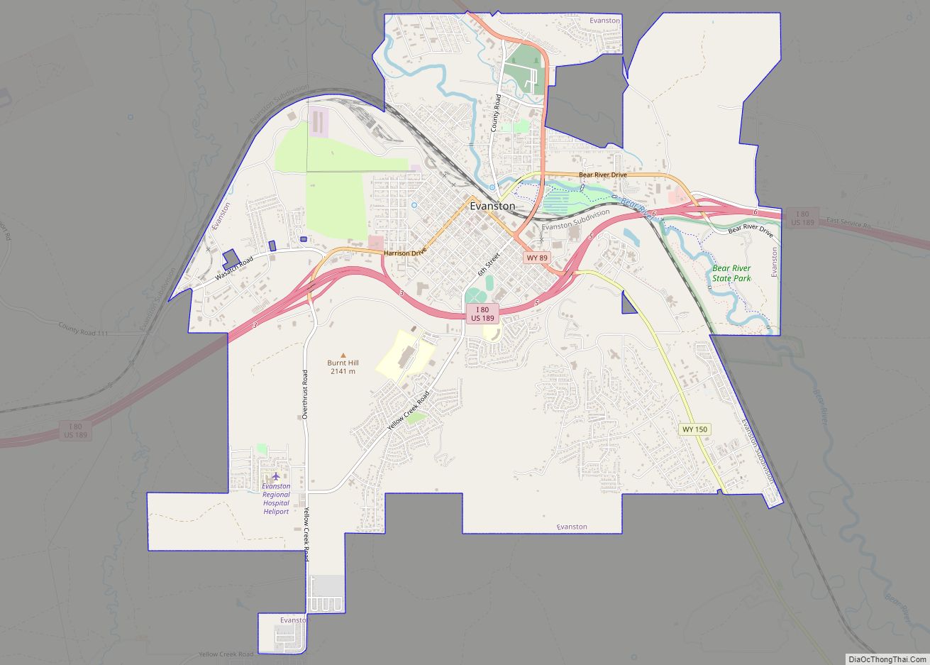
| Seat: | Evanston |
| Largest city: | Evanston |
| Total Area: | 2,088 sq mi (5,410 km²) |
| Land Area: | 2,081 sq mi (5,390 km²) |
| Total Population: | 20,450 |
| Population Density: | 9.8/sq mi (3.8/km²) |
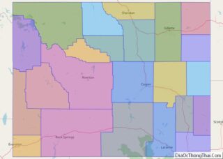
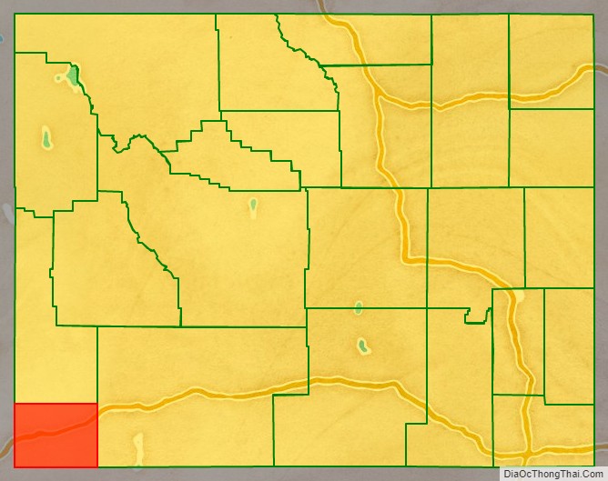
Uinta County location map. Where is Uinta County?
History
Uinta County was created on December 1, 1869 by the legislature of the Wyoming Territory, with its temporary seat located at Fort Bridger.
Originally, it ran along the entire western border of Wyoming, including Yellowstone National Park. The county was named for Utah’s Uinta Mountains, which are visible from many places in the county. The county was given its present boundaries in 1911 when Lincoln County was carved out of the northern part of Uinta County.
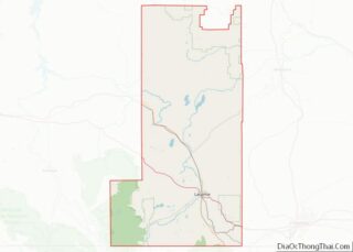
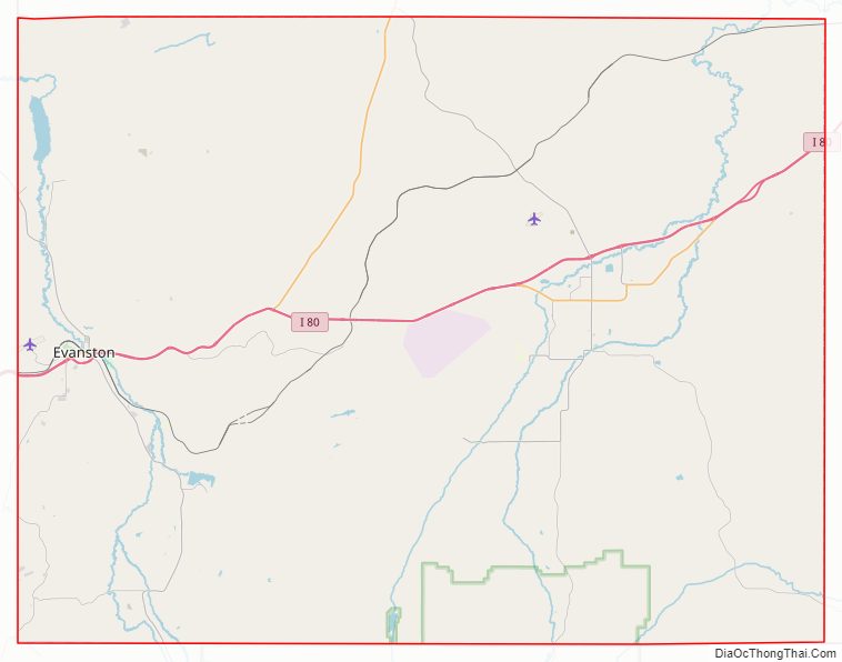
Uinta County Road Map
Geography
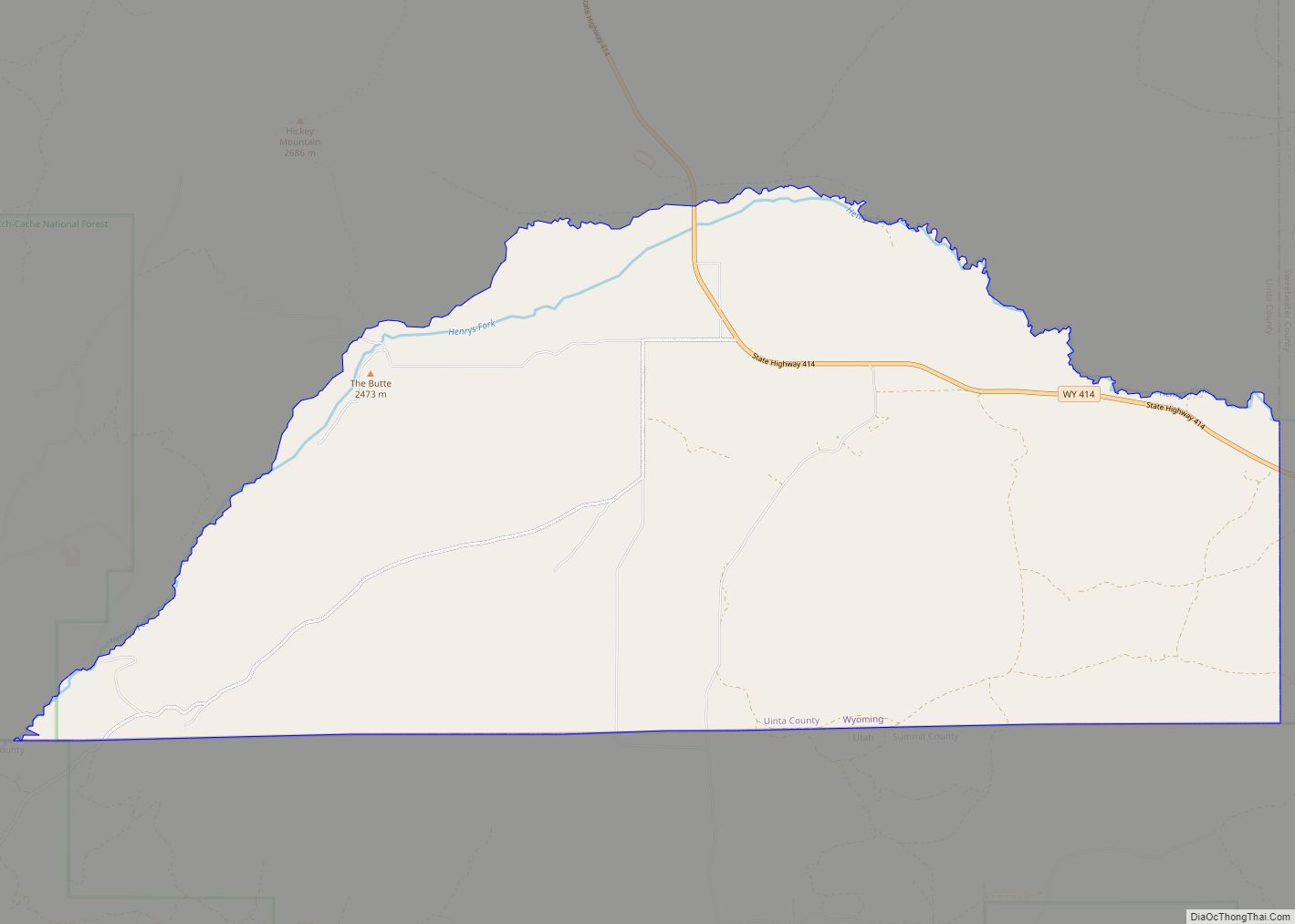
According to the U.S. Census Bureau, the county has a total area of 2,088 square miles (5,410 km), of which 2,081 square miles (5,390 km) is land and 6.3 square miles (16 km) (0.3%) is water. It is the second-smallest county in Wyoming by area.
Geology
The 161 km wide western North American Fold and thrust belt extends from Alaska to Mexico, forming several northerly trending thrust faults in southwest Wyoming, including the Crawford, Absaroka and Hogsback (Darby), which formed from the Late Jurassic through the early Eocene. The Painter Reservoir Field was discovered in 1977 from the 407 m thick Nuggest Sandstone which forms an anticline structural trap in the hanging wall of the Absaroka thrust plate, at a depth of about 3 km.
National protected area
- Wasatch National Forest (part)
State protected areas
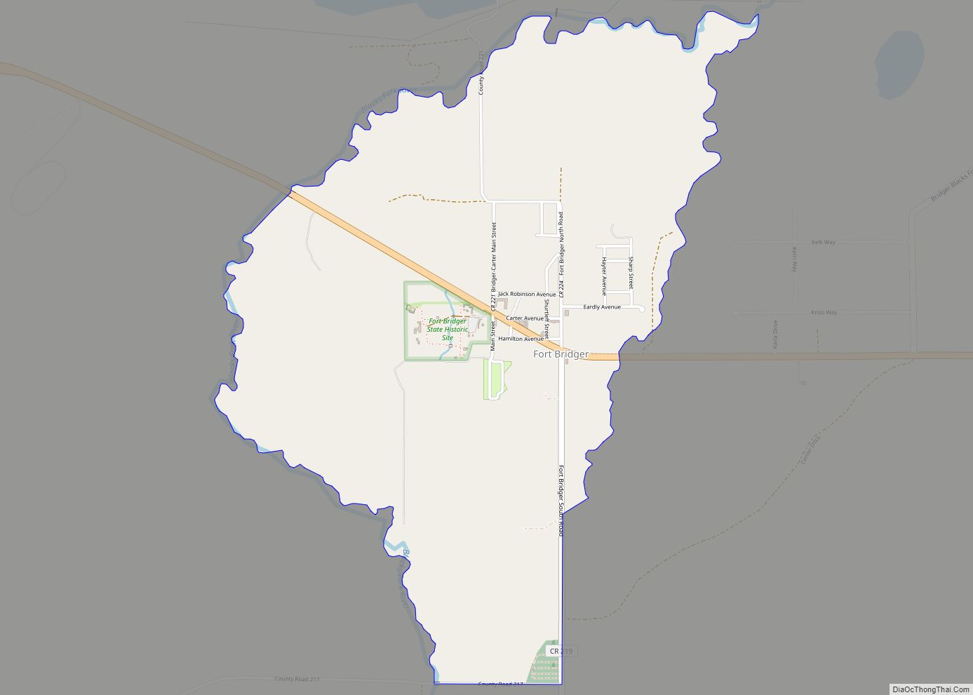
- Fort Bridger State Historic Site
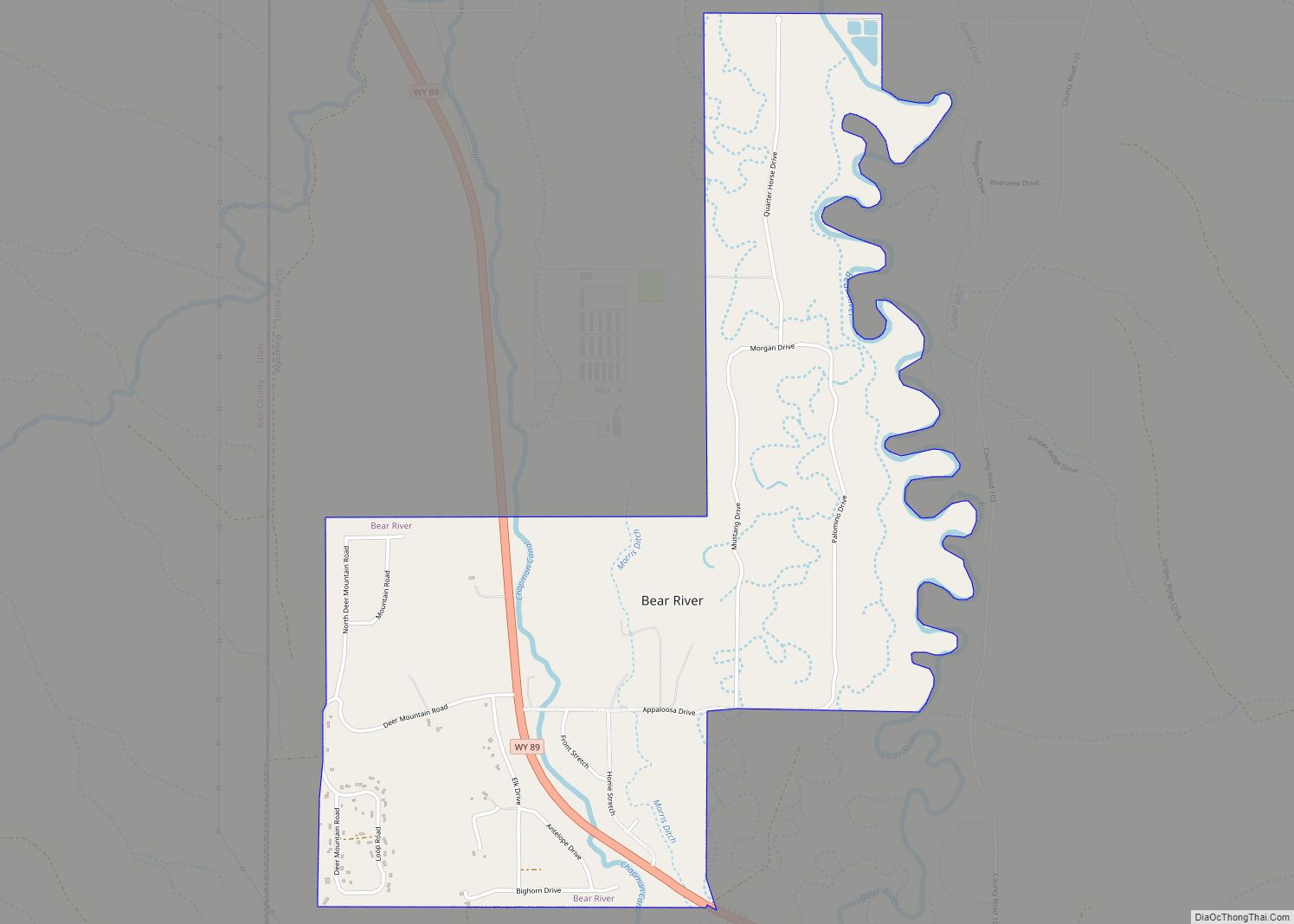
- Bear River State Park
Major highways
- – Interstate 80
- – U.S. Highway 189
Adjacent counties
- Lincoln County – north
- Rich County, Utah – west
- Summit County, Utah – south and southwest
- Sweetwater County – east
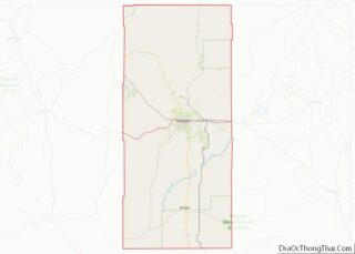
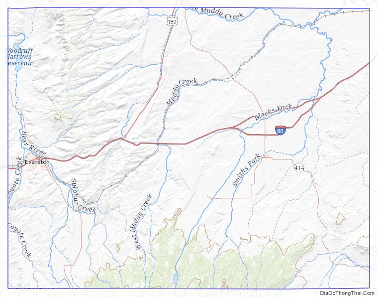
Uinta County Topographic Map
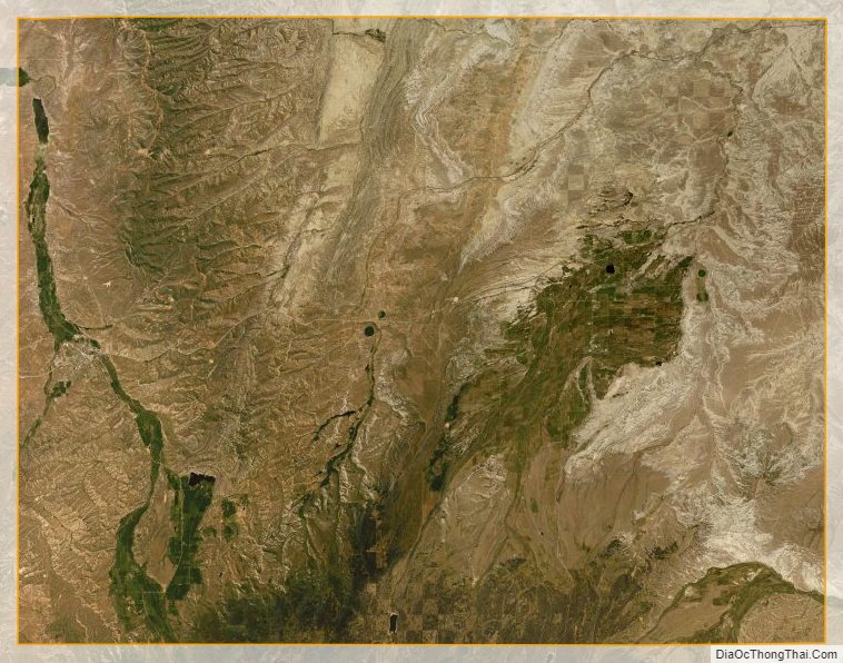
Uinta County Satellite Map
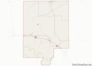
Uinta County Outline Map