Union County is a county located in the north central portion of the U.S. state of Georgia. As of the 2020 census, the population was 24,632. The county seat is Blairsville.
| Name: | Union County |
|---|---|
| FIPS code: | 13-291 |
| State: | Georgia |
| Founded: | 1832 |
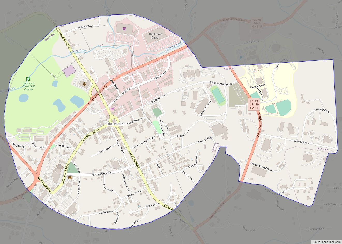
| Seat: | Blairsville |
| Largest city: | Blairsville |
| Total Area: | 329 sq mi (850 km²) |
| Land Area: | 322 sq mi (830 km²) |
| Total Population: | 24,632 |
| Population Density: | 76/sq mi (29/km²) |
| Time zone: | UTC−5 (Eastern) |
| Summer Time Zone (DST): | UTC−4 (EDT) |
| Website: | www.unioncountyga.gov |
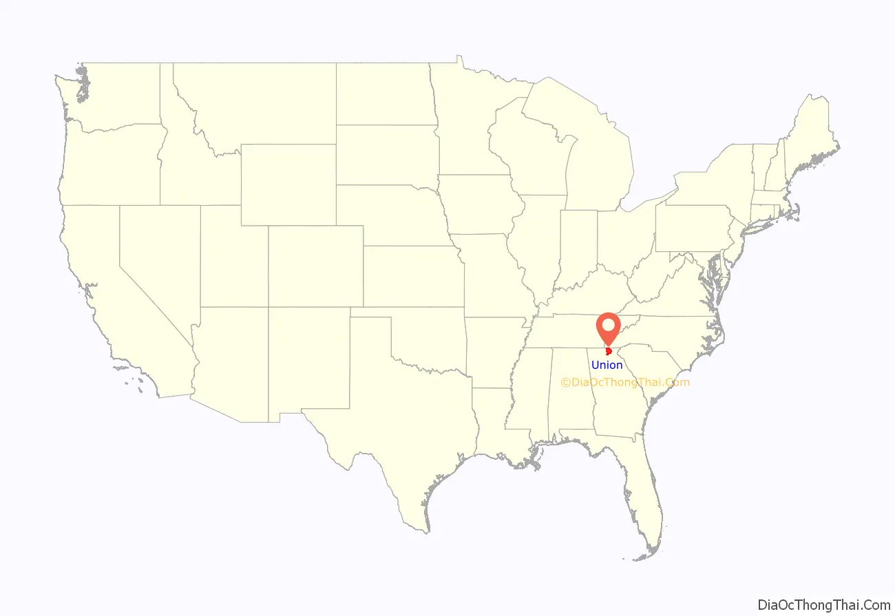
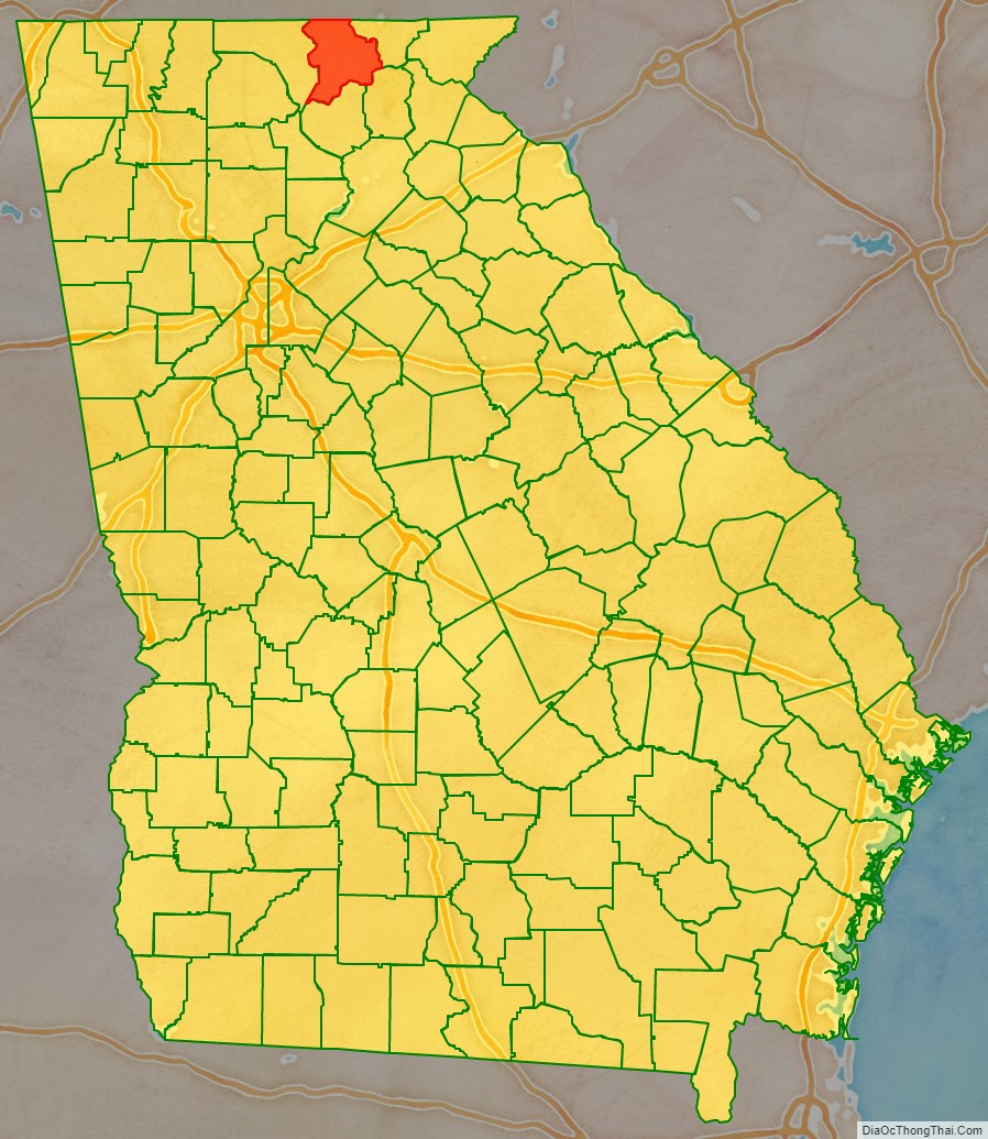
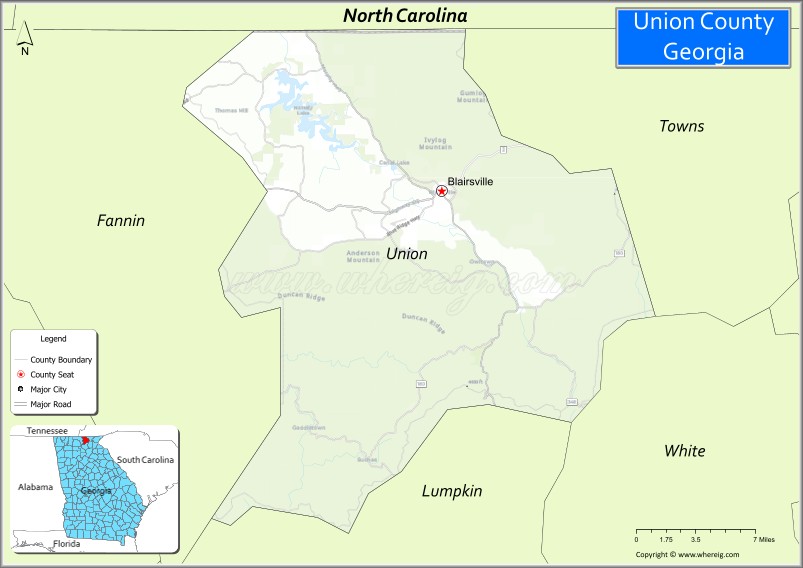
Union County location map. Where is Union County?
History
Union County was originally a core part of the homeland of the native Cherokee tribe. Mountainous and formerly one of the most remote and inaccessible parts of Georgia, the area became the object of desire for white settlers with the discovery of gold in the 1820s. While the gold rush didn’t last long, a land lottery system opened up the area for settlement in the 1830s and Union County was formed in 1832, carved from part of Cherokee County. The newcomers formed political groups to force the Cherokee off their land, part of the removal of most of the southeastern native tribes in what is known as the Trail of Tears. The part that was Cherokee Removal occurred between 1836 and 1839. The Cherokee nation and roughly 1,600 of their black slaves were forced west to the Indian Territory (present day Oklahoma) in the then Western United States. The resultant deaths along the way and at the end of the movement of an estimated 4,000 Cherokee. The Union Party was a political group that supported removing the Indians and opening the area to white settlers, and is the probable reason for the county’s name. The western part of Union County was annexed by Fannin County on 12 January 1854, and in 1856 the southern tip was given to Gilmer County and an eastern section went to Towns County. Many of the early white settlers of the area were Virginians or North Carolianians who came via various frontier roads. As a mountainous region not suited to plantation farming and settled by hardscrabble, independent farmers, Union County had relatively few slaves compared to other areas of Georgia. In the 1850 census, just 61 slave owners were listed, with a total of 278 enslaved people.
The white population of Union County residents were largely pro-Union in the years prior to the Civil War, with sentiments against the plantation-owning aristocratic elites in the lowland sections of the state, as was true of much of Georgia’s mountainous north and the Appalachian region in general. When the state seceded and when Lincoln raised a Union army to suppress the rebellion, most Union County residents supported the Confederacy and most of the soldiers from the county fought on the Confederate side either as enlistees or, after the Confederate draft of 1862, as draftees. Joseph E. Brown, the wartime governor of Georgia, was a resident of Union County, having moved there from western South Carolina. Brown was an ardent secessionist and a defender of slavery, but was a controversial southern governor, a north Georgian never fully accepted by the plantation class but still popular with the common white Georgians, whom he championed. Brown vehemently opposed the Confederate draft and was a constant thorn in the side of the central Confederate government which he saw as usurping increasing power from the states. Despite general support for the Confederacy, a smaller number of Union sympathizers remained in Union County, which was one of the few Georgia counties to provide men for a Union Army unit, company A of the 1st Georgia Infantry Battalion, in which 6 men were killed.
After the war, railroad lines were built that linked Union County to other areas, including Gainesville and Culberson, North Carolina, giving farmers expanded distribution. The first paved road in Union County was completed in 1926 and ran from Cleveland to the North Carolina border. Tourism increased when the federal government acquired 31,000 acres of forest in the area, spread across Fannin, Gilmer, Lumpkin, and Union counties, and created the Chattahoochee National Forest in 1937.
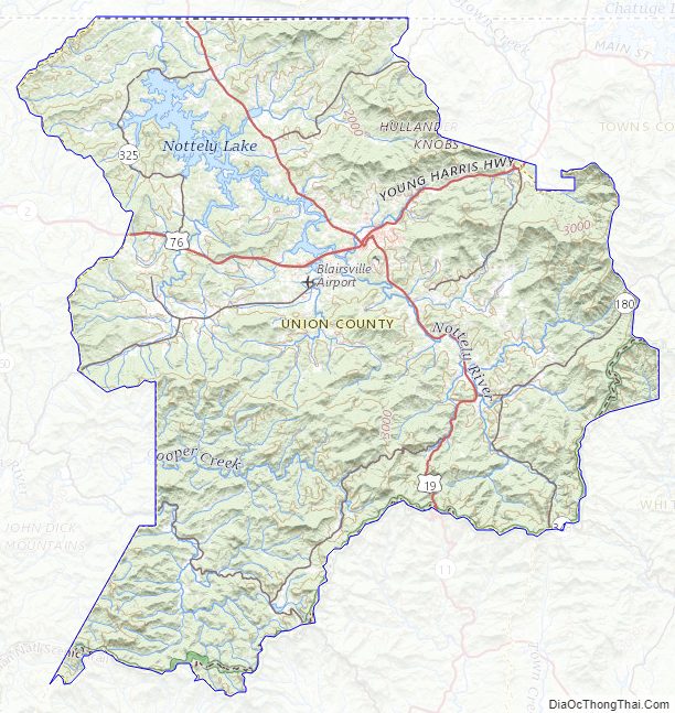
Union County Road Map
Geography
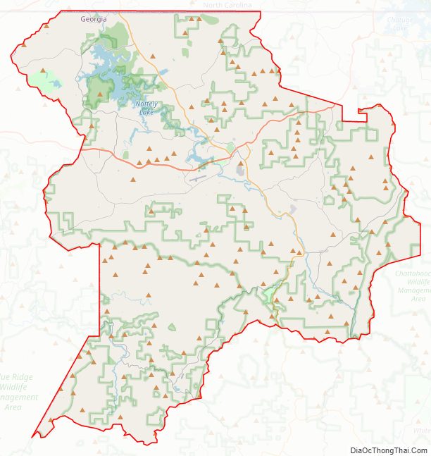
According to the U.S. Census Bureau, the county has a total area of 329 square miles (850 km), of which 322 square miles (830 km) is land and 7.1 square miles (18 km) (2.2%) is water. Brasstown Bald, the highest mountain in Georgia, rises in southeast Union County, straddling the Towns County line. The central and northern portion of Union County is located in the Hiwassee River sub-basin of the Middle Tennessee-Hiwassee basin, while the southwestern portion of the county is located in the Ocoee River sub-basin of the same larger watershed. A very small portion of the county’s southeastern corner is located in the Upper Chattahoochee River sub-basin of the ACF River Basin (Apalachicola-Chattahoochee-Flint River Basin, also listed as simply the Apalachicola Basin by USGS). This is also where the source of the Chattahoochee is found.
Adjacent counties
- Cherokee County, North Carolina (north)
- Clay County, North Carolina (northeast)
- Towns County (east)
- White County (southeast)
- Lumpkin County (south)
- Fannin County (west)
National protected area
- Chattahoochee National Forest (part)
Union County Topographic Map
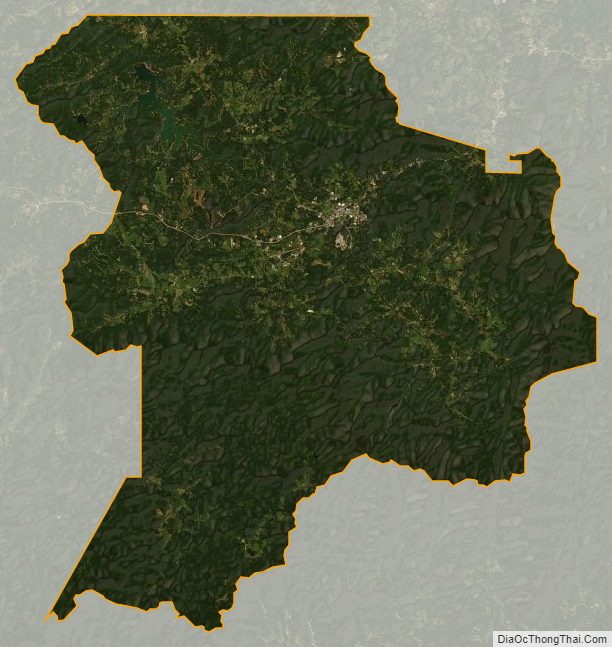
Union County Satellite Map
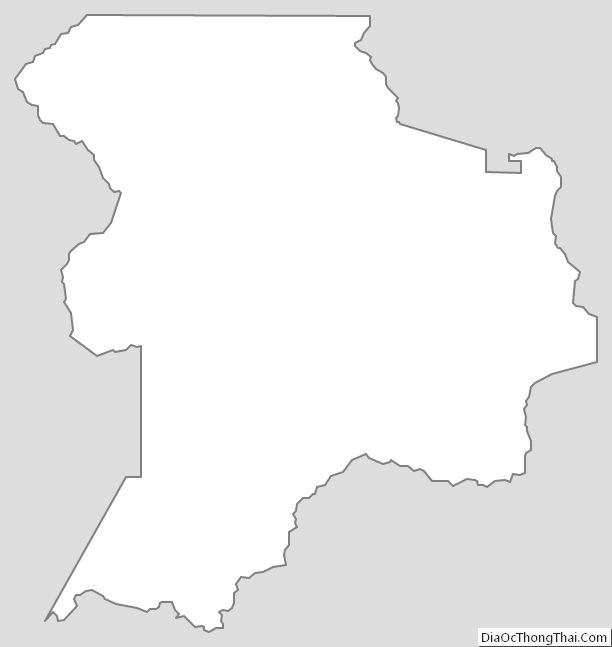
Union County Outline Map