Union County is a county located in the southern part of the U.S. state of Iowa. As of the 2020 census, the population was 12,138. The county seat is Creston. Organized at a time of tensions before the Civil War, the county was named in 1853 for the union that people wanted to preserve. The rural county’s peak of population was in 1930. Its economy is based on agriculture and related industries.
| Name: | Union County |
|---|---|
| FIPS code: | 19-175 |
| State: | Iowa |
| Founded: | January 15, 1851 |
| Seat: | Creston |
| Largest city: | Creston |
| Total Area: | 426 sq mi (1,100 km²) |
| Land Area: | 424 sq mi (1,100 km²) |
| Total Population: | 12,138 |
| Population Density: | 28/sq mi (11/km²) |
| Time zone: | UTC−6 (Central) |
| Summer Time Zone (DST): | UTC−5 (CDT) |
| Website: | unioncountyiowa.gov |
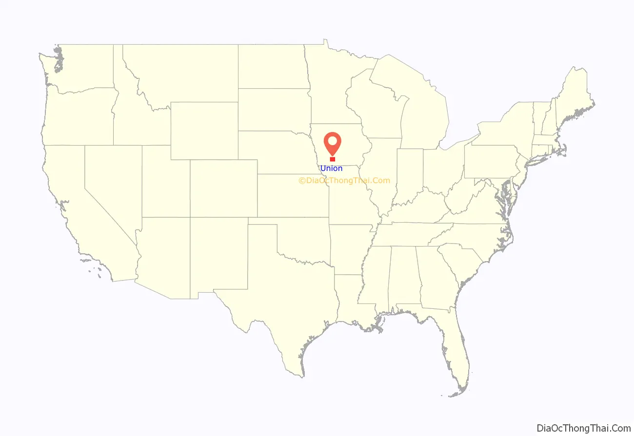
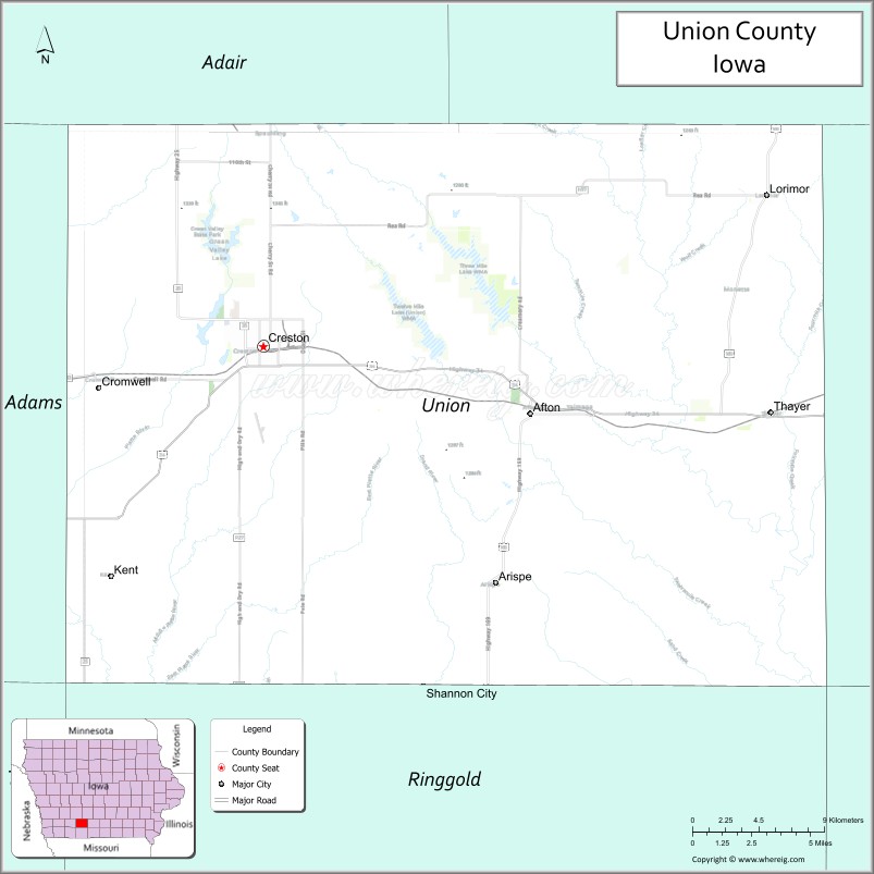
Union County location map. Where is Union County?
History
The first permanent European-American settlers came in 1849 and 1850. Mormons had earlier established Mt. Pisgah in the eastern part of the county as a way station as they traveled west, but had left this area by 1848. Settlers used Pisgah as a base to establish farms along the Grand and Platte rivers that run through the county. They found a market for their produce with the emigrants traveling overland to California to take part in the Gold Rush. Travelers often sought shelter with the settlers along the way. In 1851 one settler counted 2,600 teams driven by emigrants to California; they often drove herds of sheep and cattle, trying to get animals to the gold fields to feed the miners, but many died along the way.
The first village was Petersville, founded in 1853, the same year that the county was organized. The county was named for the union which many people wanted to preserve, at a time of rising tensions between the North and the South.
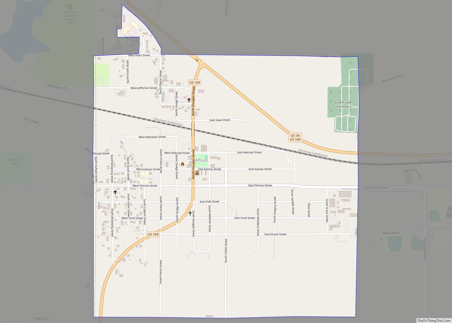
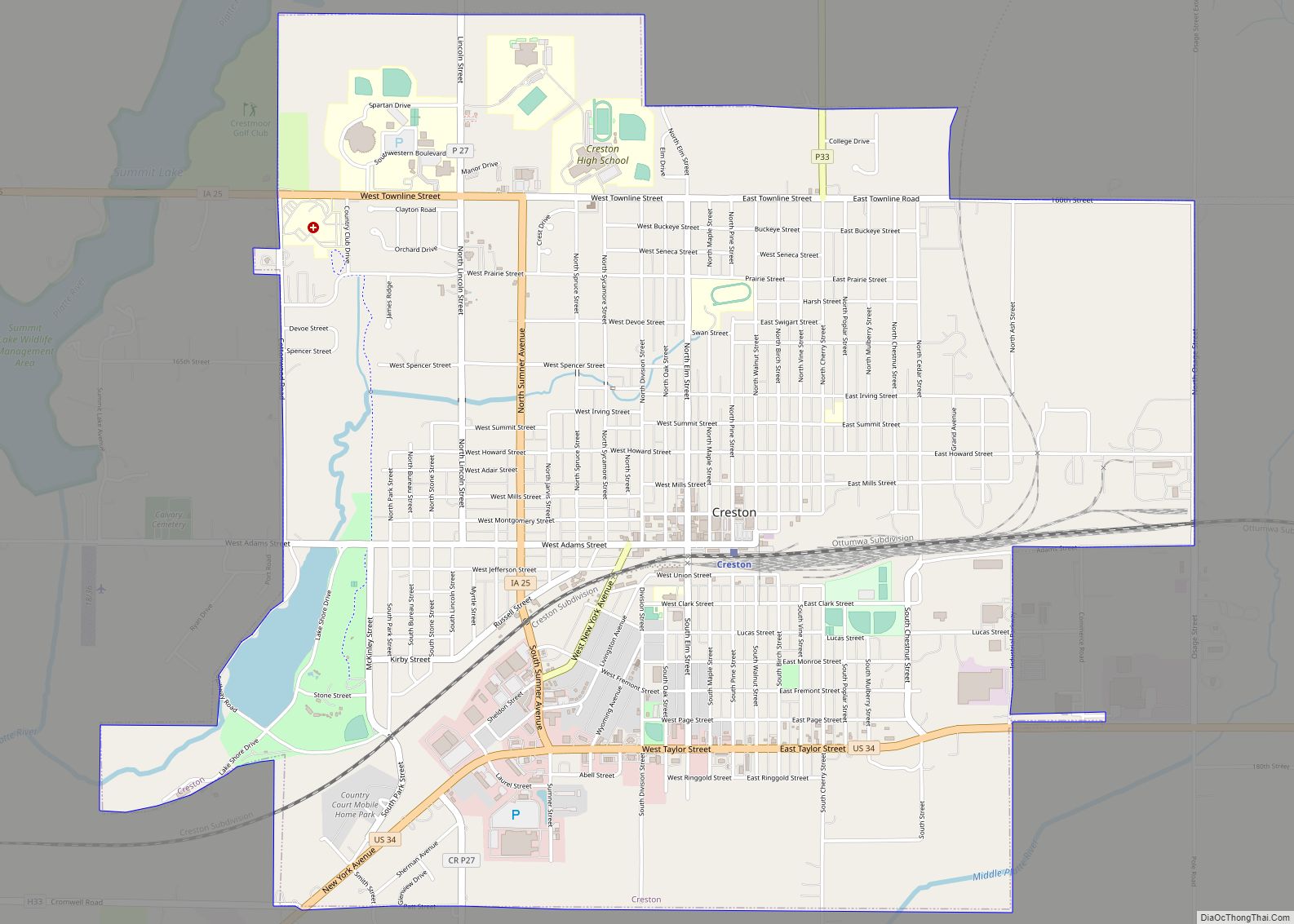
After the American Civil War, railroad construction linked the areas of the county, giving rise to new towns, and gave access to other markets. In 1868 the railroad reached Afton, Iowa, and the next year Creston, the county seat, was made a division point. The railroad built service facilities there, a roundhouse and related structures. The railroad brought immigrants and migrants to the area, who were attracted to the fertile soil as farmland. Immigrants came from across central and eastern Europe, as well as from eastern states of the US. The Burlington Northern Santa Fe Railroad (BNSF) continues to be important in the area, serving as the chief network for hauling grain and coal. Over the years, it drew workers from industrial cities such as Chicago to Creston.
The county has a fair each year. In the late 19th century, southwestern Iowa claimed the title of Bluegrass Capital, having cultivated bluegrass throughout the area. In 1889 the Bluegrass Association was founded, made up of representatives of the 18 counties in this region. They built a Bluegrass Palace on the Union County Fairgrounds. It was designed by Louis Syberkro, an artist, and constructed by J. C. Woodruff, both of Creston. Made of sod and baled hay on a wood frame, the building was 100 feet square, with corner turrets and a central tower 92 feet high. It held exhibits of farm products and resource commodities from counties of the association, including wood, coal, sandstone, and marble. The palace was such a success that the Bluegrass Association commissioned a larger one the following year, which supplied about three times as much space. In a separate wing was an auditorium large enough to hold 2,000 people.
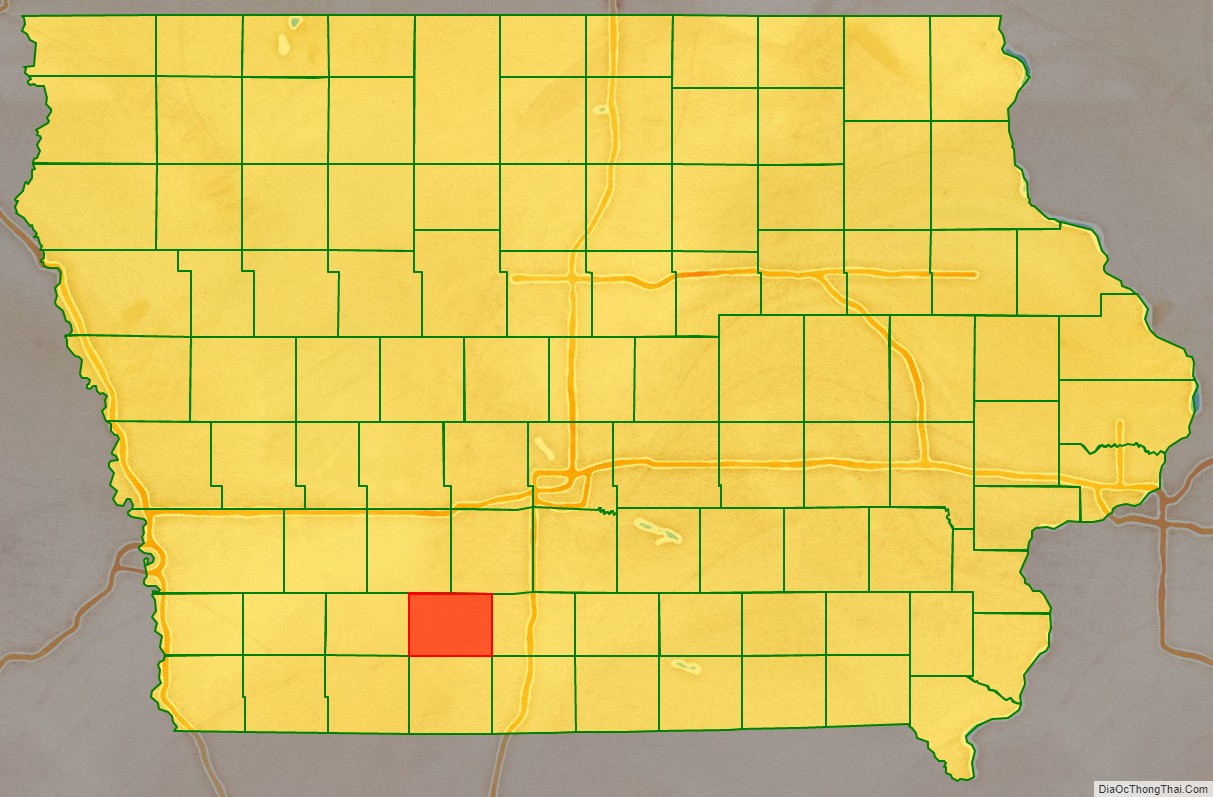
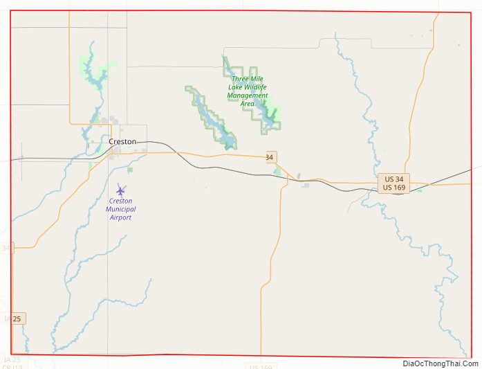
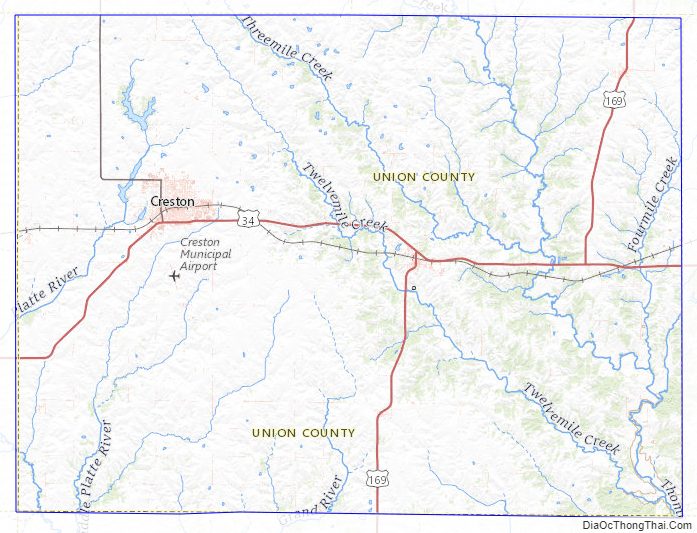
Union County Road Map
Geography
According to the U.S. Census Bureau, the county has a total area of 426 square miles (1,100 km), of which 424 square miles (1,100 km) is land and 2.2 square miles (5.7 km) (0.5%) is water.
Major highways
- U.S. Highway 34
- U.S. Highway 169
- Iowa Highway 25
Adjacent counties
- Adair County (northwest)
- Madison County (northeast)
- Clarke County (east)
- Ringgold County (south)
- Adams County (west)
Union County Topographic Map
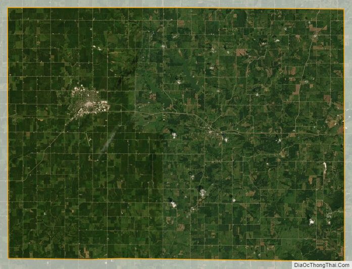
Union County Satellite Map
Union County Outline Map