Map of Grove Hill town

Map of Grove Hill town

Grove Hill is a town in Clarke County, Alabama, United States. At the 2020 census, the population was 1,818. It is the county seat of Clarke County and home of the Clarke County Museum. Grove Hill town overview: Name: Grove Hill town LSAD Code: 43 LSAD Description: town (suffix) State: Alabama County: Clarke County Elevation: … Read more

Map of Grimes town

Map of Grimes town, Alabama

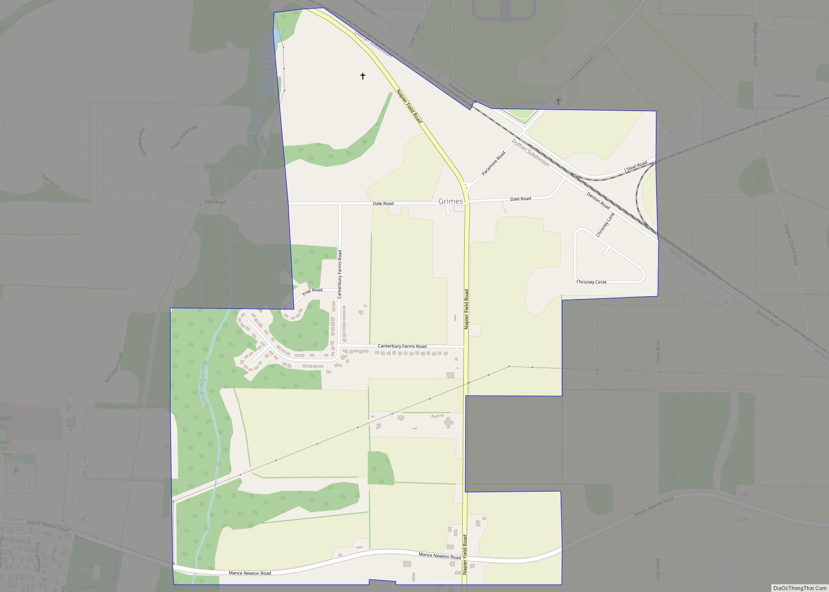
Grimes is a town in Dale County, Alabama, United States. At the 2010 census the population was 558, up from 459 in 2000. It is part of the Enterprise–Ozark Micropolitan Statistical Area. Grimes town overview: Name: Grimes town LSAD Code: 43 LSAD Description: town (suffix) State: Alabama County: Dale County Elevation: 374 ft (114 m) Total Area: … Read more

Map of Greenville city

Map of Greenville city, Alabama

Greenville is a city and the county seat of Butler County, Alabama, United States. At the 2020 census, the population was 7,374. Greenville is known as the Camellia City, wherein originated the movement to change the official Alabama state flower from the goldenrod to the camellia with legislative sponsors LaMont Glass and H.B. Taylor. Greenville … Read more

Map of Gulf Shores city

Map of Gulf Shores city

Gulf Shores is a resort city in Baldwin County, Alabama, United States. As of the 2010 Census, the population was 9,741. Gulf Shores city overview: Name: Gulf Shores city LSAD Code: 25 LSAD Description: city (suffix) State: Alabama County: Baldwin County Elevation: 7 ft (2 m) Total Area: 33.21 sq mi (86.01 km²) Land Area: 28.36 sq mi (73.46 km²) Water Area: 4.84 sq mi … Read more

Map of Guin city

Map of Guin city

Guin /ˈɡjuːɪn/ is a city in Marion County, Alabama, United States. It incorporated in December 1889. At the 2020 census, the population was 2,195. Guin city overview: Name: Guin city LSAD Code: 25 LSAD Description: city (suffix) State: Alabama County: Marion County Elevation: 449 ft (137 m) Total Area: 14.97 sq mi (38.8 km²) Land Area: 14.97 sq mi (38.8 km²) Water Area: … Read more

Map of Gu-Win town

Map of Gu-Win town

Gu-Win is a town in Fayette and Marion counties in the U.S. state of Alabama. It incorporated in 1956. At the 2020 census the population was 141, down from 176 at the 2010 census. Although a small portion of the town is within Fayette County, all of the population as of 2010 resided in Marion … Read more

Map of Gurley town

Map of Gurley town, Alabama

Gurley is a town in Madison County, Alabama, United States, and is included in the Huntsville-Decatur Combined Statistical Area. As of the 2020 census, the population of the town was 816. Gurley town overview: Name: Gurley town LSAD Code: 43 LSAD Description: town (suffix) State: Alabama County: Madison County Elevation: 965 ft (294 m) Total Area: 3.55 sq mi … Read more

Map of Guntersville city

Map of Guntersville city

Guntersville (previously known as Gunter’s Ferry and later Gunter’s Landing) is a city and the county seat of Marshall County, Alabama, United States. At the 2020 census, the population of the city was 8,553. Guntersville is located in a HUBZone as identified by the U.S. Small Business Administration (SBA). Guntersville city overview: Name: Guntersville city … Read more

Map of Gulfcrest CDP

Map of Gulfcrest CDP

Gulfcrest is a census-designated place and unincorporated community in Mobile County, Alabama, United States. Its population was 142 as of the 2020 census. Gulfcrest CDP overview: Name: Gulfcrest CDP LSAD Code: 57 LSAD Description: CDP (suffix) State: Alabama County: Mobile County Elevation: 148 ft (45 m) Total Area: 1.52 sq mi (3.93 km²) Land Area: 1.51 sq mi (3.92 km²) Water Area: 0.00 sq mi … Read more

Map of Haleburg town

Map of Haleburg town

Haleburg is a town in Henry County, Alabama, United States. It is part of the Dothan, Alabama Metropolitan Statistical Area. At the 2020 census, the population was 112. Established in 1885 as “Halesburgh”, the town was incorporated in September, 1911, as “Halesburg”. Since then, for reasons unknown, it has become known as the current “Haleburg”. … Read more

Map of Hackneyville CDP

Map of Hackneyville CDP

Hackneyville is a census-designated place and unincorporated community in Tallapoosa County, Alabama, United States. Its population was 347 as of the 2010 census. Hackneyville CDP overview: Name: Hackneyville CDP LSAD Code: 57 LSAD Description: CDP (suffix) State: Alabama County: Tallapoosa County Elevation: 702 ft (214 m) Total Area: 8.98 sq mi (23.25 km²) Land Area: 8.96 sq mi (23.21 km²) Water Area: 0.01 sq mi … Read more

Map of Hackleburg town

Map of Hackleburg town

Hackleburg is a town in Marion County, Alabama, United States. It incorporated on August 23, 1909. At the 2020 census, its population was 1,425, down from 1,516 at the 2010 census. Hackleburg town overview: Name: Hackleburg town LSAD Code: 43 LSAD Description: town (suffix) State: Alabama County: Marion County Elevation: 938 ft (286 m) Total Area: 15.29 sq mi … Read more