Guin /ˈɡjuːɪn/ is a city in Marion County, Alabama, United States. It incorporated in December 1889. At the 2020 census, the population was 2,195.
| Name: | Guin city |
|---|---|
| LSAD Code: | 25 |
| LSAD Description: | city (suffix) |
| State: | Alabama |
| County: | Marion County |
| Elevation: | 449 ft (137 m) |
| Total Area: | 14.97 sq mi (38.8 km²) |
| Land Area: | 14.97 sq mi (38.8 km²) |
| Water Area: | 0.00 sq mi (0.0 km²) |
| Total Population: | 2,195 |
| Population Density: | 146.58/sq mi (56.59/km²) |
| ZIP code: | 35563 |
| Area code: | 205, 659 |
| FIPS code: | 0132224 |
| GNISfeature ID: | 0154458 |
| Website: | www.guinal.org |
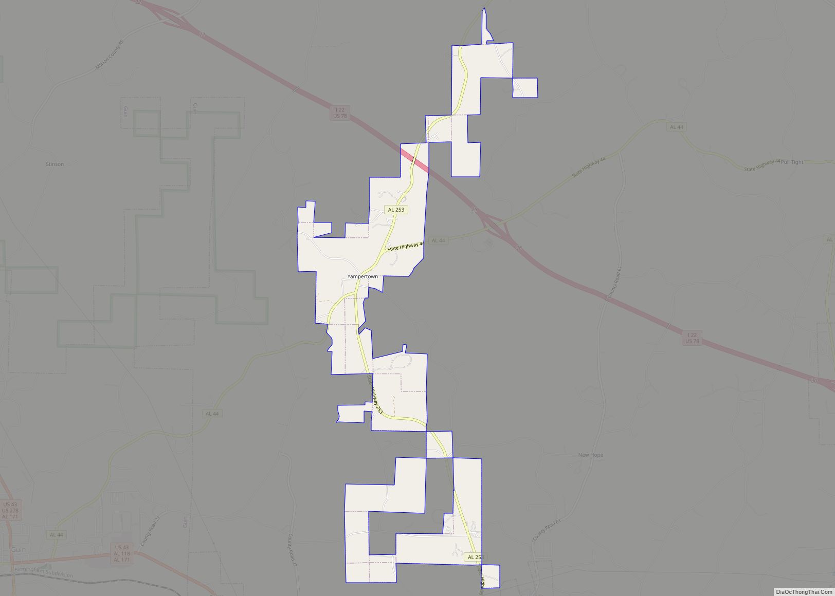
Online Interactive Map
Click on ![]() to view map in "full screen" mode.
to view map in "full screen" mode.
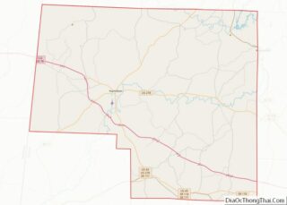
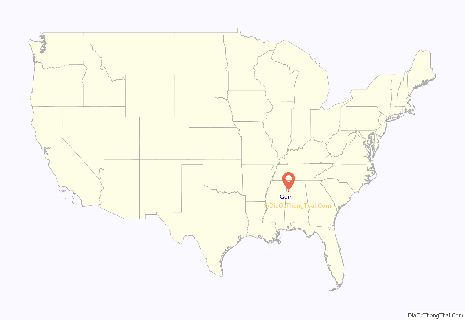
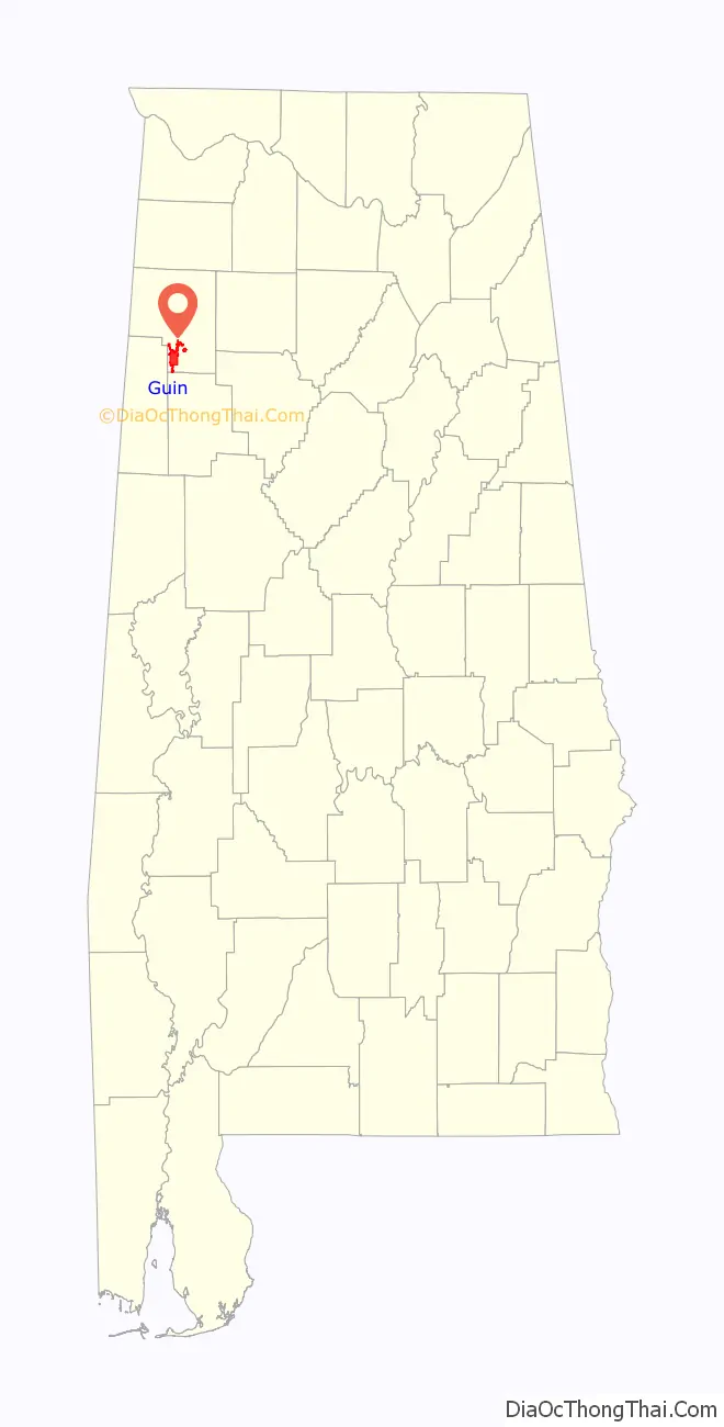
Guin location map. Where is Guin city?
History
Guin takes its name from a young country doctor, Dr. Jeremiah (“Jerry”) Guin from Tuscaloosa County, who purchased the farm known then as Haley’s Trading Post (where is now situate the town of Guin) from a certain John T. Meador in 1870, and who, in turn, had bought the property from a certain Alan Haley, a newcomer to the State, who had built there a country store on the most used road stretching from north to south, in order to accommodate cattle drovers taking their cattle to market in Columbus and Aberdeen, Mississippi. Jeremiah Guin, while looking for a place to make his home, moved the center of interest about a mile east of Haley’s Trading Post (now 12th Street N. and 11 Ave. in present-day Guin).
In the early years of its settlement, a saw mill was built and operated in the town, known originally as Kenney Lumber Company (and later known as Brown Lumber Co.), supplying cut timber to the local community.
On April 3, 1974, Guin was devastated by a fast moving F5 tornado during the 1974 Super Outbreak, the second-largest tornado outbreak on record. That storm took twenty-three lives.
On July 13, 2010, the citizens of Guin voted to become the first city in Marion County since Prohibition to allow the sale of alcohol.
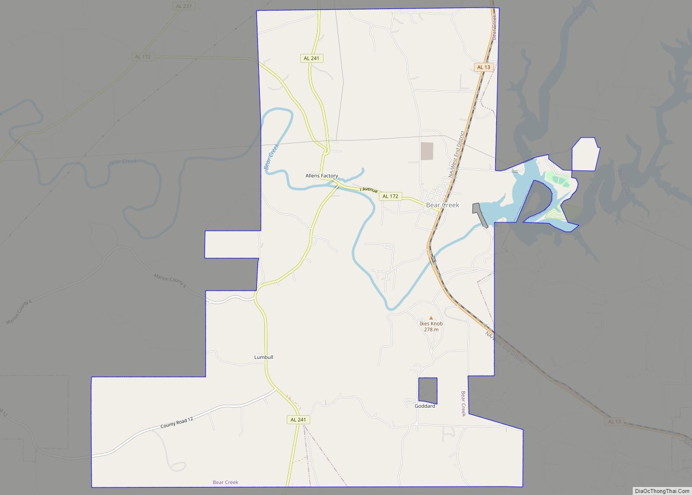
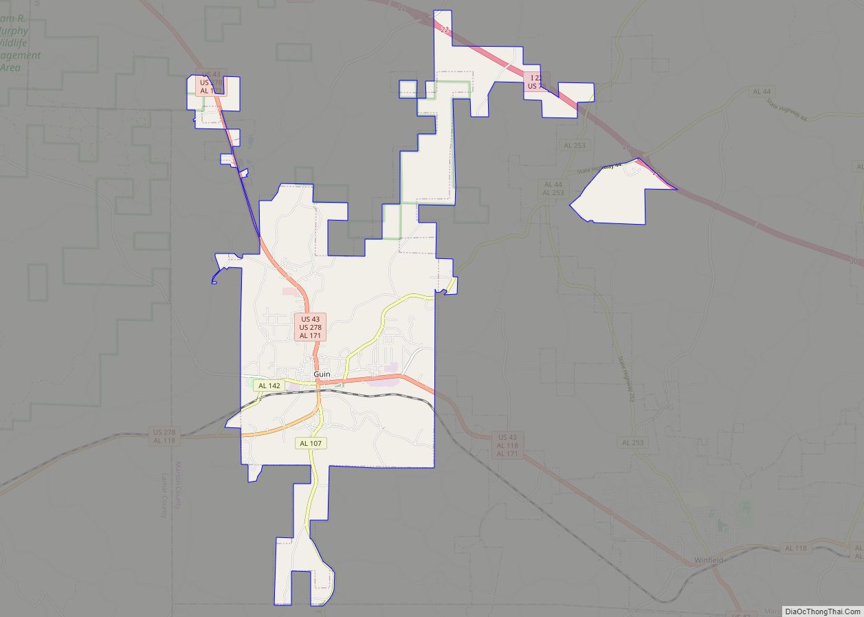
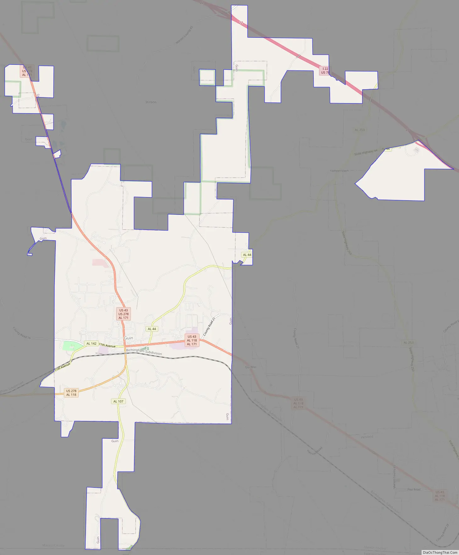
Guin Road Map
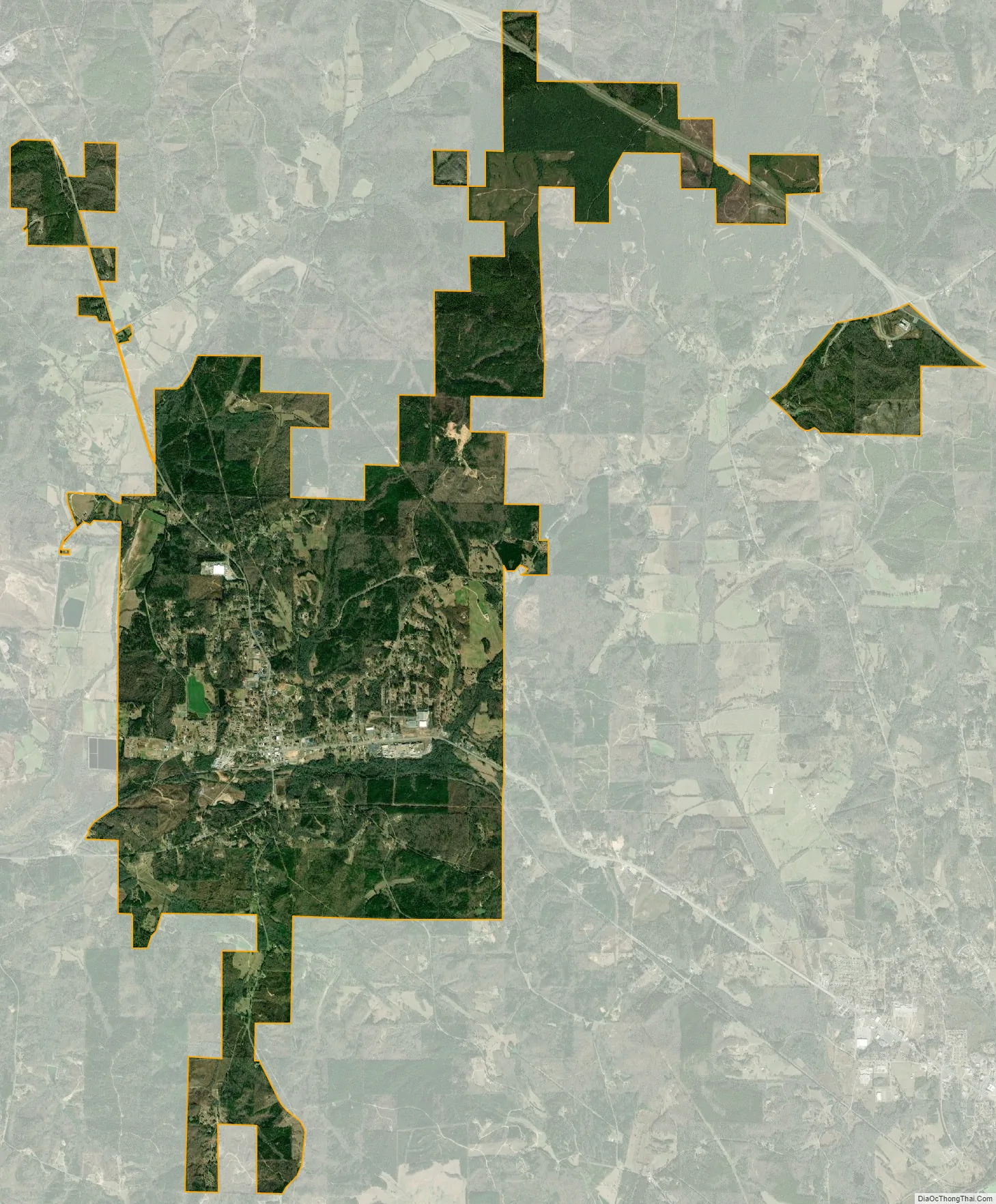
Guin city Satellite Map
Geography
Guin is located in southern Marion County at 33°58′23″N 87°55′0″W / 33.97306°N 87.91667°W / 33.97306; -87.91667 (33.973135, -87.916711). U.S. Routes 43 and 278 meet in the center of town, leaving it together to the north, while US 43 leads southeast from the city and US 278 leads southwest. Hamilton, the county seat, is 13 miles (21 km) to the north, Winfield is 6 miles (10 km) to the southeast, and Sulligent is 14 miles (23 km) to the southwest.
According to the U.S. Census Bureau, the city of Guin has a total area of 15.0 square miles (39 km), all land. Purgatory Creek runs through the southern part of the city, leading west to Beaver Creek, which continues west to the Buttahatchee River, part of the Tombigbee River watershed.
See also
Map of Alabama State and its subdivision:- Autauga
- Baldwin
- Barbour
- Bibb
- Blount
- Bullock
- Butler
- Calhoun
- Chambers
- Cherokee
- Chilton
- Choctaw
- Clarke
- Clay
- Cleburne
- Coffee
- Colbert
- Conecuh
- Coosa
- Covington
- Crenshaw
- Cullman
- Dale
- Dallas
- De Kalb
- Elmore
- Escambia
- Etowah
- Fayette
- Franklin
- Geneva
- Greene
- Hale
- Henry
- Houston
- Jackson
- Jefferson
- Lamar
- Lauderdale
- Lawrence
- Lee
- Limestone
- Lowndes
- Macon
- Madison
- Marengo
- Marion
- Marshall
- Mobile
- Monroe
- Montgomery
- Morgan
- Perry
- Pickens
- Pike
- Randolph
- Russell
- Saint Clair
- Shelby
- Sumter
- Talladega
- Tallapoosa
- Tuscaloosa
- Walker
- Washington
- Wilcox
- Winston
- Alabama
- Alaska
- Arizona
- Arkansas
- California
- Colorado
- Connecticut
- Delaware
- District of Columbia
- Florida
- Georgia
- Hawaii
- Idaho
- Illinois
- Indiana
- Iowa
- Kansas
- Kentucky
- Louisiana
- Maine
- Maryland
- Massachusetts
- Michigan
- Minnesota
- Mississippi
- Missouri
- Montana
- Nebraska
- Nevada
- New Hampshire
- New Jersey
- New Mexico
- New York
- North Carolina
- North Dakota
- Ohio
- Oklahoma
- Oregon
- Pennsylvania
- Rhode Island
- South Carolina
- South Dakota
- Tennessee
- Texas
- Utah
- Vermont
- Virginia
- Washington
- West Virginia
- Wisconsin
- Wyoming