Map of Morrison Crossroads CDP

Map of Morrison Crossroads CDP

Morrison Crossroads (also known as Morrison Crossroad) is a census-designated place and unincorporated community in Randolph County, Alabama, United States. Its population was 219 as of the 2010 census. Morrison Crossroads CDP overview: Name: Morrison Crossroads CDP LSAD Code: 57 LSAD Description: CDP (suffix) State: Alabama County: Randolph County Elevation: 1,112 ft (339 m) Total Area: 5.26 sq mi … Read more

Map of Morris town

Map of Morris town, Alabama

Morris is a town in Jefferson County, Alabama, United States. It is north of the Birmingham suburb of Gardendale. It initially incorporated on September 19, 1885. At some point after 1910, its incorporation lapsed and it failed to appear on the census rolls beginning in 1920 through to 1950. It reincorporated on July 11, 1950. … Read more

Map of Mosses town

Map of Mosses town

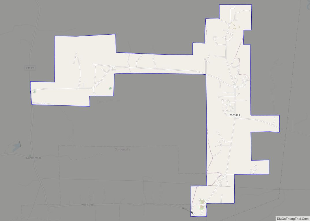
Mosses is a town in Lowndes County, Alabama, United States. At the 2010 census the population was 1,029, down from 1,101 in 2000. It is part of the Montgomery Metropolitan Statistical Area. It incorporated in 1979. Mosses town overview: Name: Mosses town LSAD Code: 43 LSAD Description: town (suffix) State: Alabama County: Lowndes County Elevation: … Read more

Map of Mount Olive CDP

Map of Mount Olive CDP, Alabama

Mount Olive, also spelled Mt. Olive is an unincorporated community and a census-designated place (CDP) in Jefferson County, Alabama. Its location is in the suburbs of Birmingham. As of the 2010 census, the population of the community is 4,079. Mount Olive is bordered on the south and the east by the town of Gardendale, and … Read more

Map of Moundville town

Map of Moundville town, Alabama

Moundville is a town in Hale and Tuscaloosa counties in the U.S. state of Alabama. It was incorporated on December 22, 1908. From its incorporation until the 1970 census, it was wholly within Hale County. At the 2010 census the population was 2,427, up from 1,809 at the 2000 census. It is part of the … Read more

Map of Moulton city

Map of Moulton city, Alabama

Moulton is a city in Lawrence County, Alabama, and is included in the Decatur Metropolitan Area, as well as the Huntsville-Decatur Combined Statistical Area. Although it incorporated in 1819, along with its rival of Courtland, to compete for the honor of county seat, it did not first appear on the U.S. Census rolls until 1900. … Read more

Map of Movico CDP

Map of Movico CDP

Movico is a census-designated place and unincorporated community in Mobile County, Alabama, United States. Its population was 291 as of the 2020 census. The town was heavily damaged by an EF2 tornado on January 12, 2023. Movico CDP overview: Name: Movico CDP LSAD Code: 57 LSAD Description: CDP (suffix) State: Alabama County: Mobile County Elevation: … Read more

Map of Mountain Brook city

Map of Mountain Brook city

Mountain Brook is a city in southeastern Jefferson County, Alabama, United States, and a suburb of Birmingham. Its population at the 2020 census was 22,461. Mountain Brook city overview: Name: Mountain Brook city LSAD Code: 25 LSAD Description: city (suffix) State: Alabama County: Jefferson County Incorporated: March 24, 1942 Elevation: 955 ft (291 m) Total Area: 12.84 sq mi … Read more

Map of Mount Vernon town

Map of Mount Vernon town, Alabama

Mount Vernon is a town in Mobile County, Alabama, United States. It is part of the Mobile metropolitan area. It incorporated in 1959. At the 2020 census the population was 1,354. Mount Vernon town overview: Name: Mount Vernon town LSAD Code: 43 LSAD Description: town (suffix) State: Alabama County: Mobile County Elevation: 30 ft (9 m) Total … Read more

Map of Muscle Shoals city

Map of Muscle Shoals city

Muscle Shoals is the largest city in Colbert County, Alabama. It is located on the left bank of the Tennessee River in the northern part of the state and, as of the 2010 census, its population was 13,146. The estimated population in 2019 was 14,575. Both the city and the Florence-Muscle Shoals Metropolitan Area (including … Read more

Map of Munford town

Map of Munford town, Alabama

Munford is a town in Talladega County, Alabama, United States. At the 2020 census, the population was 1,351. It is the location of what has been called the last battle of the Civil War east of the Mississippi, the Battle of Munford on April 23, 1865, being one week after the Battle of Columbus (April … Read more

Map of Mulga town

Map of Mulga town

Mulga is a town in western Jefferson County, Alabama, United States. It incorporated in 1947. This town is north from the Birmingham suburb of Pleasant Grove. It includes the community of Bayview. At its 2010 census the population was 836, down from its peak population of 973 in 2000. Its communities were damaged by an … Read more