Moulton is a city in Lawrence County, Alabama, and is included in the Decatur Metropolitan Area, as well as the Huntsville-Decatur Combined Statistical Area. Although it incorporated in 1819, along with its rival of Courtland, to compete for the honor of county seat, it did not first appear on the U.S. Census rolls until 1900. As of the 2010 census, the population of the city is 3,471, its record high. The city has been the county seat of Lawrence County since 1820. It has been the largest community in the county since the 1920 U.S. Census.
| Name: | Moulton city |
|---|---|
| LSAD Code: | 25 |
| LSAD Description: | city (suffix) |
| State: | Alabama |
| County: | Lawrence County |
| Incorporated: | December 17, 1819 |
| Elevation: | 643 ft (196 m) |
| Total Area: | 6.01 sq mi (15.56 km²) |
| Land Area: | 5.99 sq mi (15.53 km²) |
| Water Area: | 0.01 sq mi (0.04 km²) |
| Total Population: | 3,398 |
| Population Density: | 566.90/sq mi (218.87/km²) |
| ZIP code: | 35650 |
| Area code: | 256 |
| FIPS code: | 0151600 |
| GNISfeature ID: | 2404314 |
| Website: | cityofmoultonal.com |
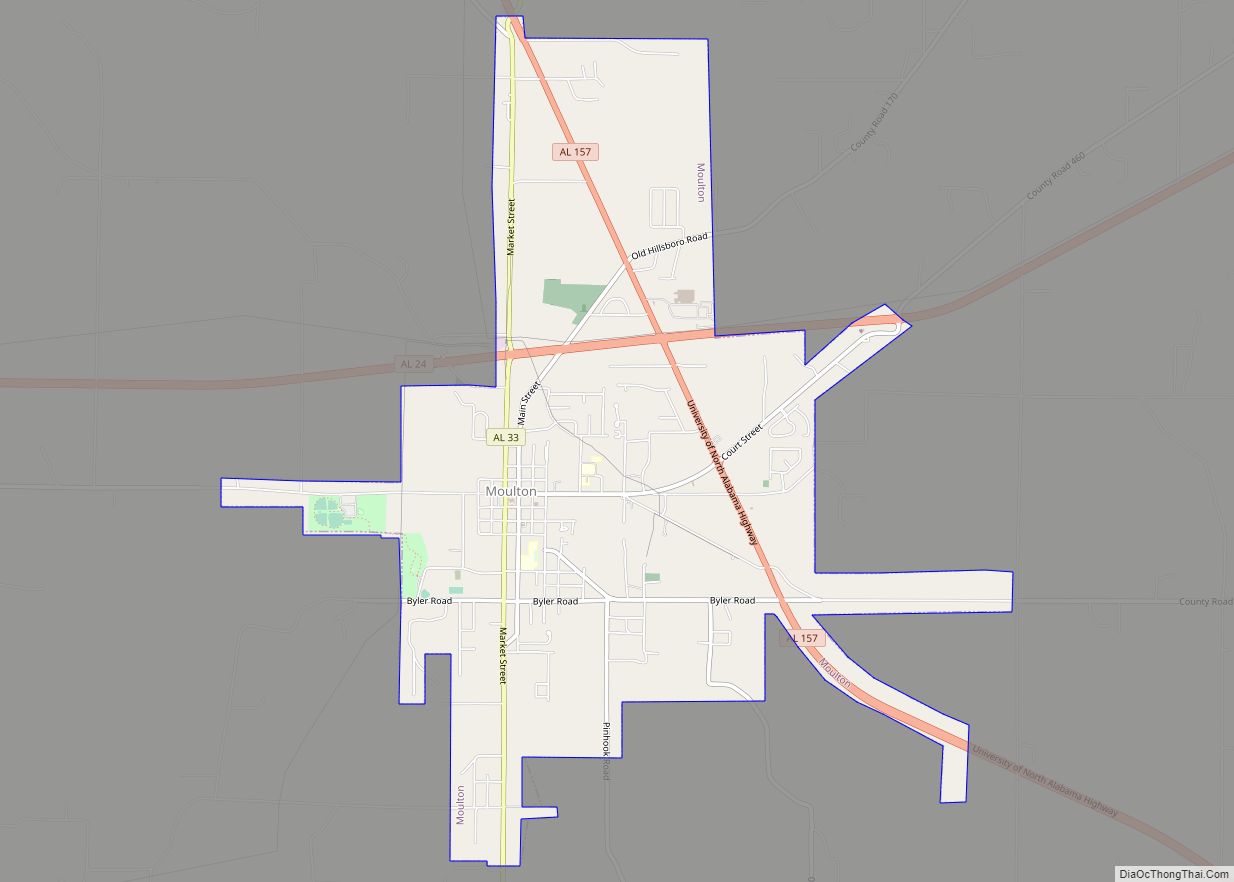
Online Interactive Map
Click on ![]() to view map in "full screen" mode.
to view map in "full screen" mode.
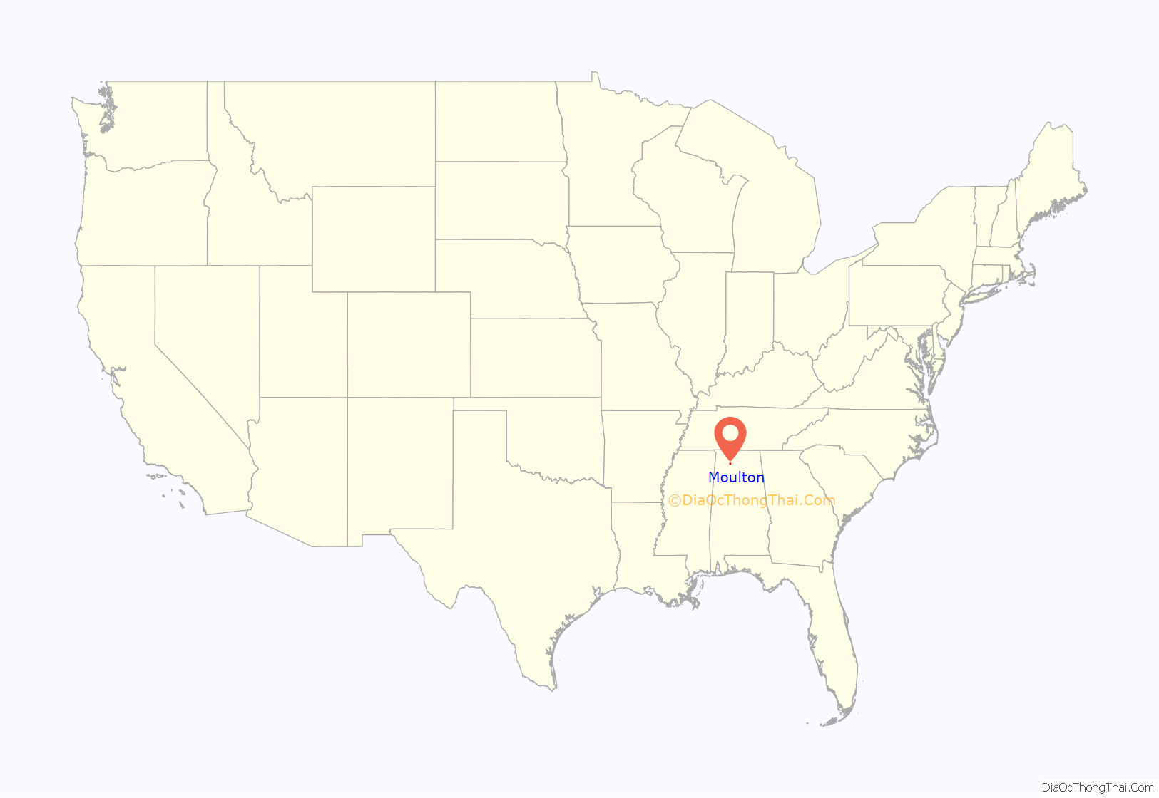
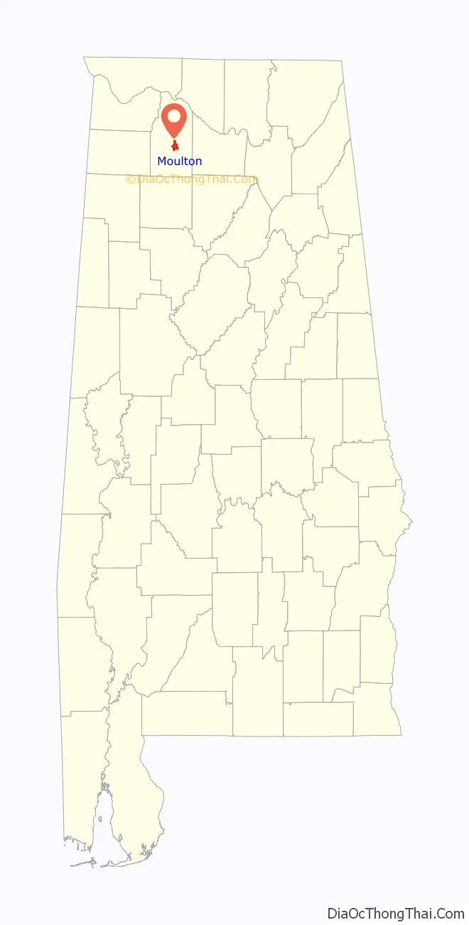
Moulton location map. Where is Moulton city?
History
By the time Alabama became a state in 1819, an inn had been erected at the site of what is now Moulton to serve migrants along the various early paths that passed through the area. Shortly after Alabama achieved statehood, both Moulton and Courtland (to the north) incorporated and competed for the county seat of Lawrence County. Governor Thomas Bibb awarded the seat to Moulton as the most centrally located of the two within the county. The city is named for Lieutenant Michael Moulton, a soldier killed while fighting under General Andrew Jackson at the Battle of Horseshoe Bend in 1814.
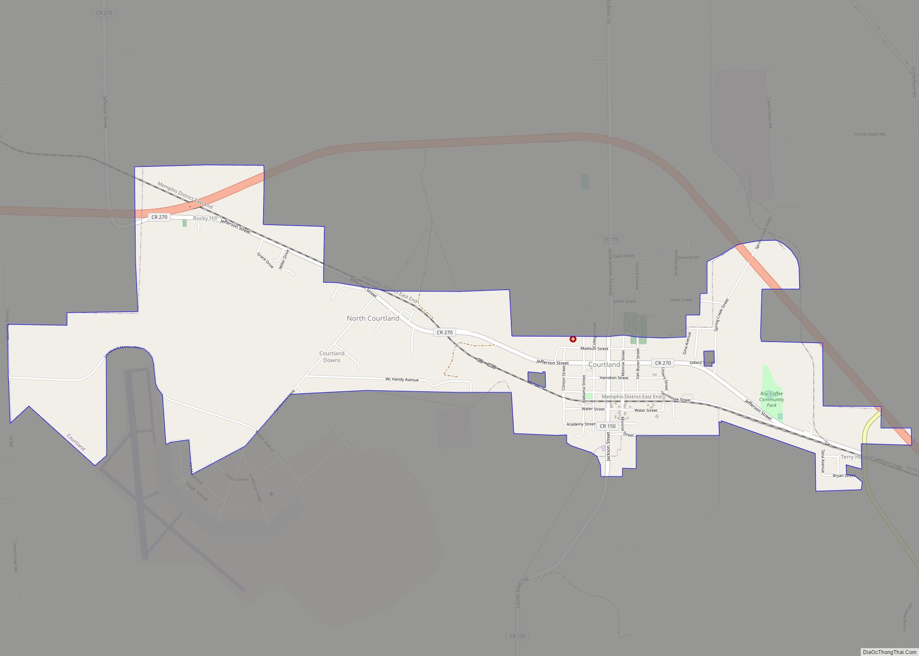
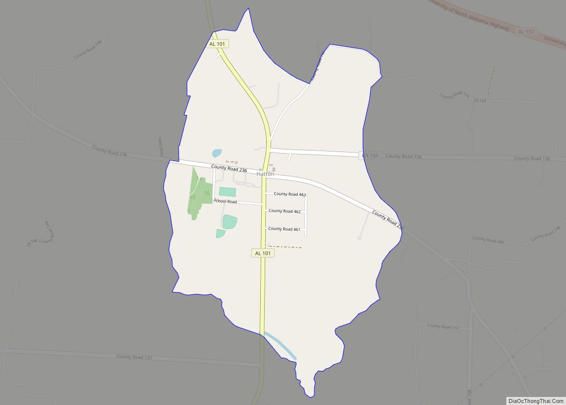
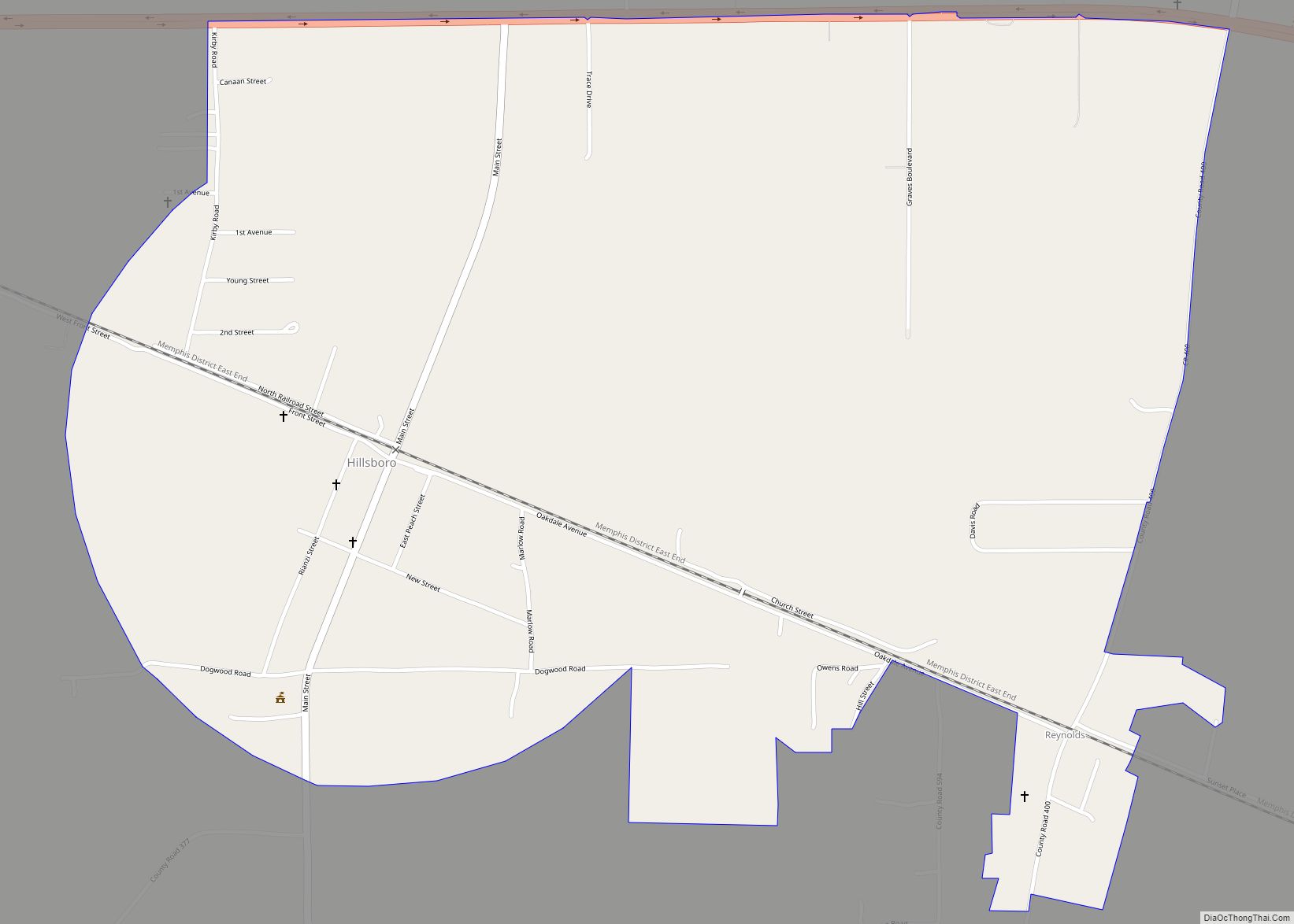
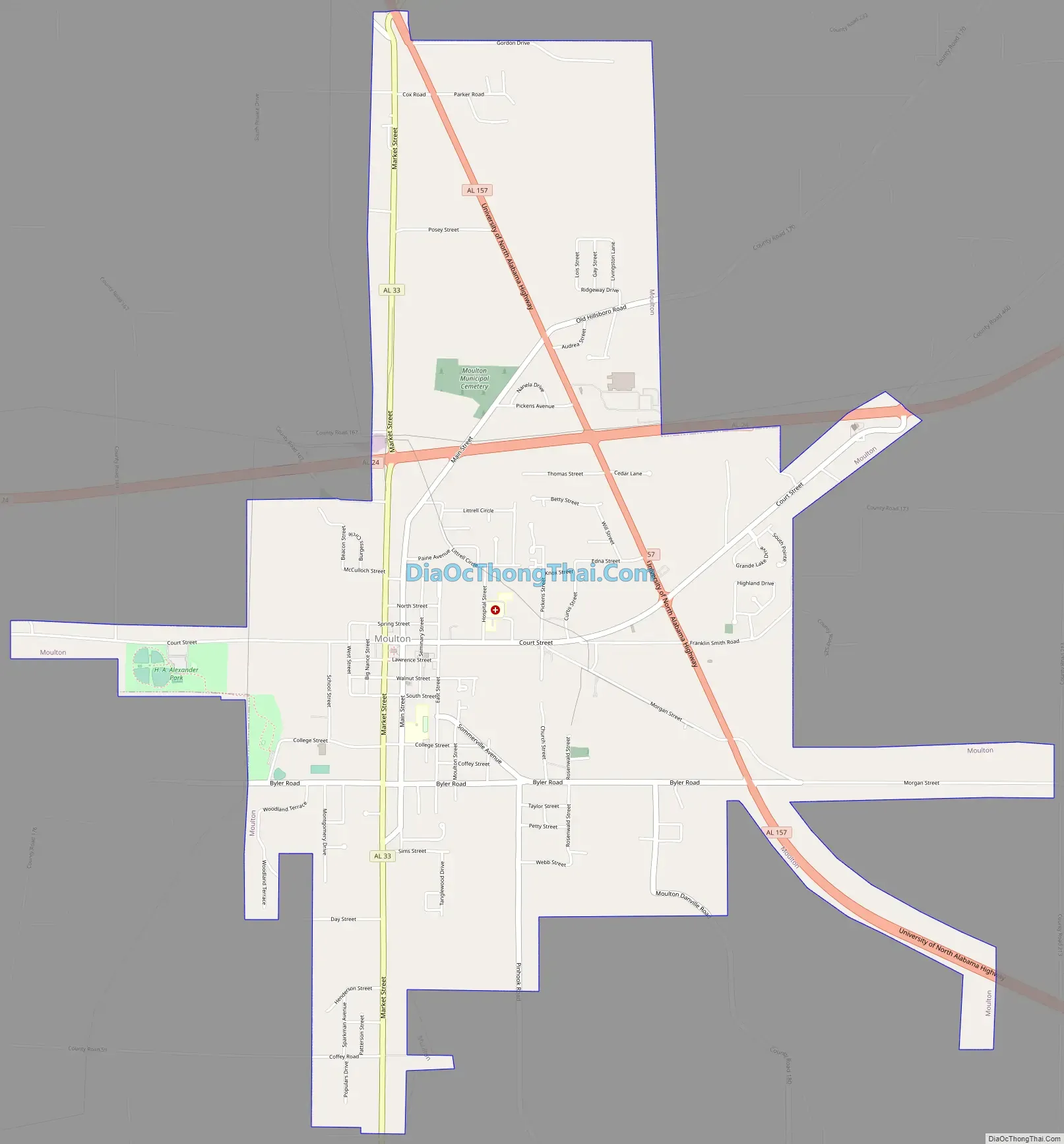
Moulton Road Map
Moulton city Satellite Map

Geography
Moulton is located at 34°28′56″N 87°17′8″W / 34.48222°N 87.28556°W / 34.48222; -87.28556 (34.482307, -87.285621). The city is concentrated along Alabama State Route 33 southwest of Decatur. Alabama State Route 24 passes through the northern part of the city, and Alabama State Route 157 passes through its eastern section. The William B. Bankhead National Forest lies to the southwest of Moulton.
According to the U.S. Census Bureau, the city has a total area of 5.9 square miles (15 km), all land.
Climate
According to the Köppen climate classification, Moulton has a humid subtropical climate (abbreviated Cfa).
See also
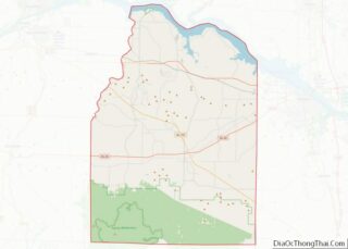
Map of Alabama State and its subdivision:- Autauga
- Baldwin
- Barbour
- Bibb
- Blount
- Bullock
- Butler
- Calhoun
- Chambers
- Cherokee
- Chilton
- Choctaw
- Clarke
- Clay
- Cleburne
- Coffee
- Colbert
- Conecuh
- Coosa
- Covington
- Crenshaw
- Cullman
- Dale
- Dallas
- De Kalb
- Elmore
- Escambia
- Etowah
- Fayette
- Franklin
- Geneva
- Greene
- Hale
- Henry
- Houston
- Jackson
- Jefferson
- Lamar
- Lauderdale
- Lawrence
- Lee
- Limestone
- Lowndes
- Macon
- Madison
- Marengo
- Marion
- Marshall
- Mobile
- Monroe
- Montgomery
- Morgan
- Perry
- Pickens
- Pike
- Randolph
- Russell
- Saint Clair
- Shelby
- Sumter
- Talladega
- Tallapoosa
- Tuscaloosa
- Walker
- Washington
- Wilcox
- Winston
- Alabama
- Alaska
- Arizona
- Arkansas
- California
- Colorado
- Connecticut
- Delaware
- District of Columbia
- Florida
- Georgia
- Hawaii
- Idaho
- Illinois
- Indiana
- Iowa
- Kansas
- Kentucky
- Louisiana
- Maine
- Maryland
- Massachusetts
- Michigan
- Minnesota
- Mississippi
- Missouri
- Montana
- Nebraska
- Nevada
- New Hampshire
- New Jersey
- New Mexico
- New York
- North Carolina
- North Dakota
- Ohio
- Oklahoma
- Oregon
- Pennsylvania
- Rhode Island
- South Carolina
- South Dakota
- Tennessee
- Texas
- Utah
- Vermont
- Virginia
- Washington
- West Virginia
- Wisconsin
- Wyoming