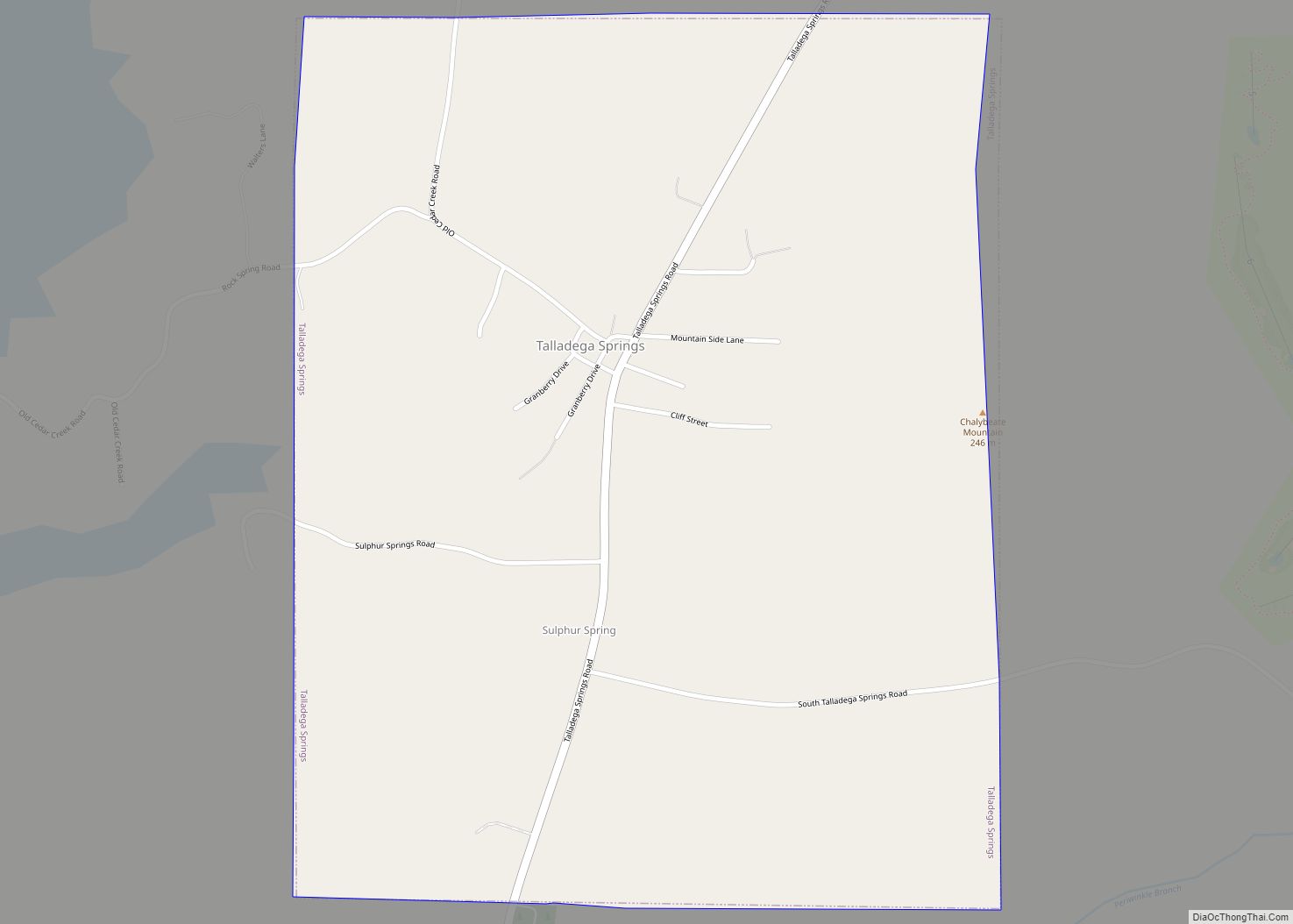
Talladega Springs is a town in Talladega County, Alabama, United States. At the 2020 census, the population was 144. Talladega Springs town overview: Name: Talladega Springs town LSAD Code: 43 LSAD Description: town (suffix) State: Alabama County: Talladega County Elevation: 430 ft (131 m) Total Area: 1.24 sq mi (3.22 km²) Land Area: 1.23 sq mi (3.19 km²) Water Area: 0.01 sq mi (0.03 km²) Total ... Read more
Alabama Cities and Places
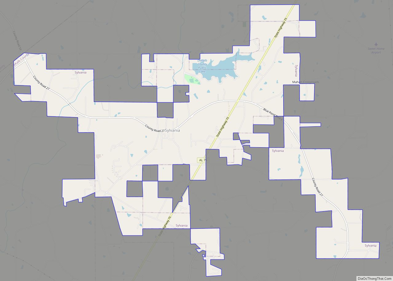
Sylvania is a town in DeKalb County, Alabama, United States. It incorporated in October 1967. At the 2010 census the population was 1,837, up from 1,186 in 2000. Sylvania is located atop Sand Mountain. Sylvania has its own Post Office, established in 1996 and located at 9596 Blue Pond Blvd. W. Sylvania town overview: Name: ... Read more
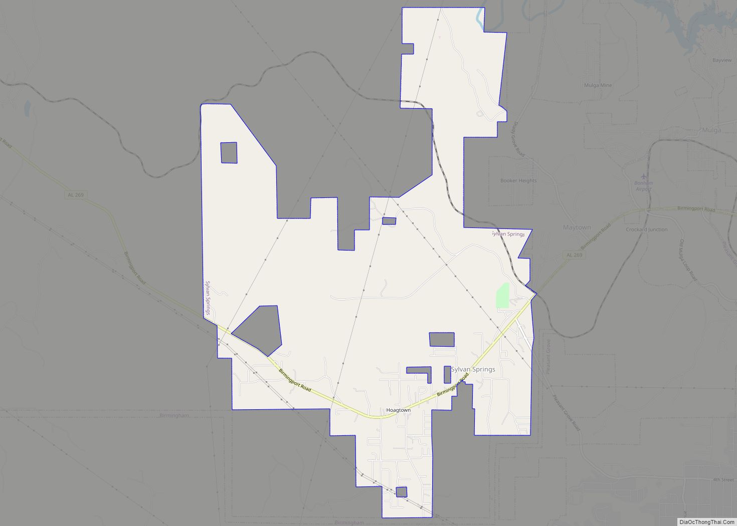
Sylvan Springs is a town in Jefferson County, Alabama, United States, located northwest of the Birmingham suburb of Pleasant Grove. It incorporated on May 22, 1957. At the 2010 census the population was 1,542, up from 1,465 in 2000. This area was damaged by an F5 tornado on April 8, 1998, including the First United ... Read more
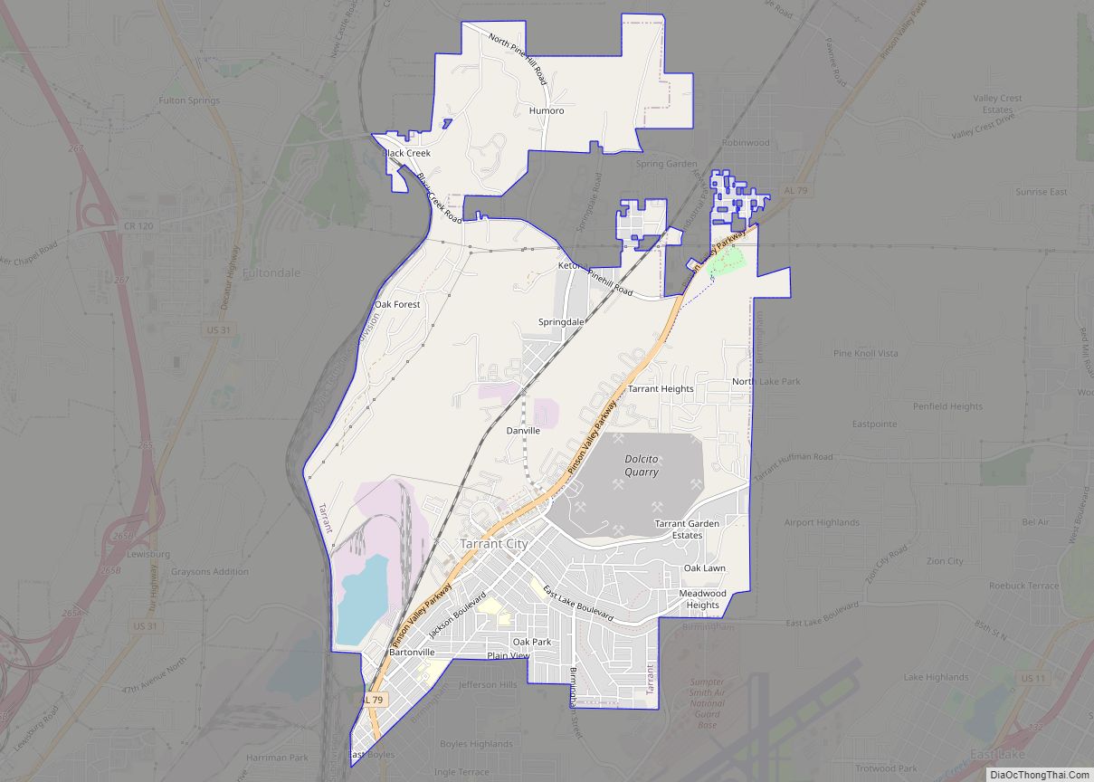
Tarrant is a city in Jefferson County, Alabama, bordering Birmingham to the north. At the 2020 census, the population was 6,124. It is home to the ABC Coke plant owned by the Drummond Company, “the largest single producer of foundry coke in the U.S.”. Tarrant city overview: Name: Tarrant city LSAD Code: 25 LSAD Description: ... Read more
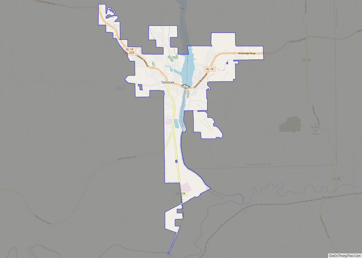
Tallassee (pronounced /ˈtæləsi/) is a city on the Tallapoosa River, located in both Elmore and Tallapoosa counties in the U.S. state of Alabama. At the 2020 census, the population was 4,763. It is home to a major hydroelectric power plant at Thurlow Dam operated by Alabama Power Company. Tallassee is part of the Montgomery Metropolitan ... Read more
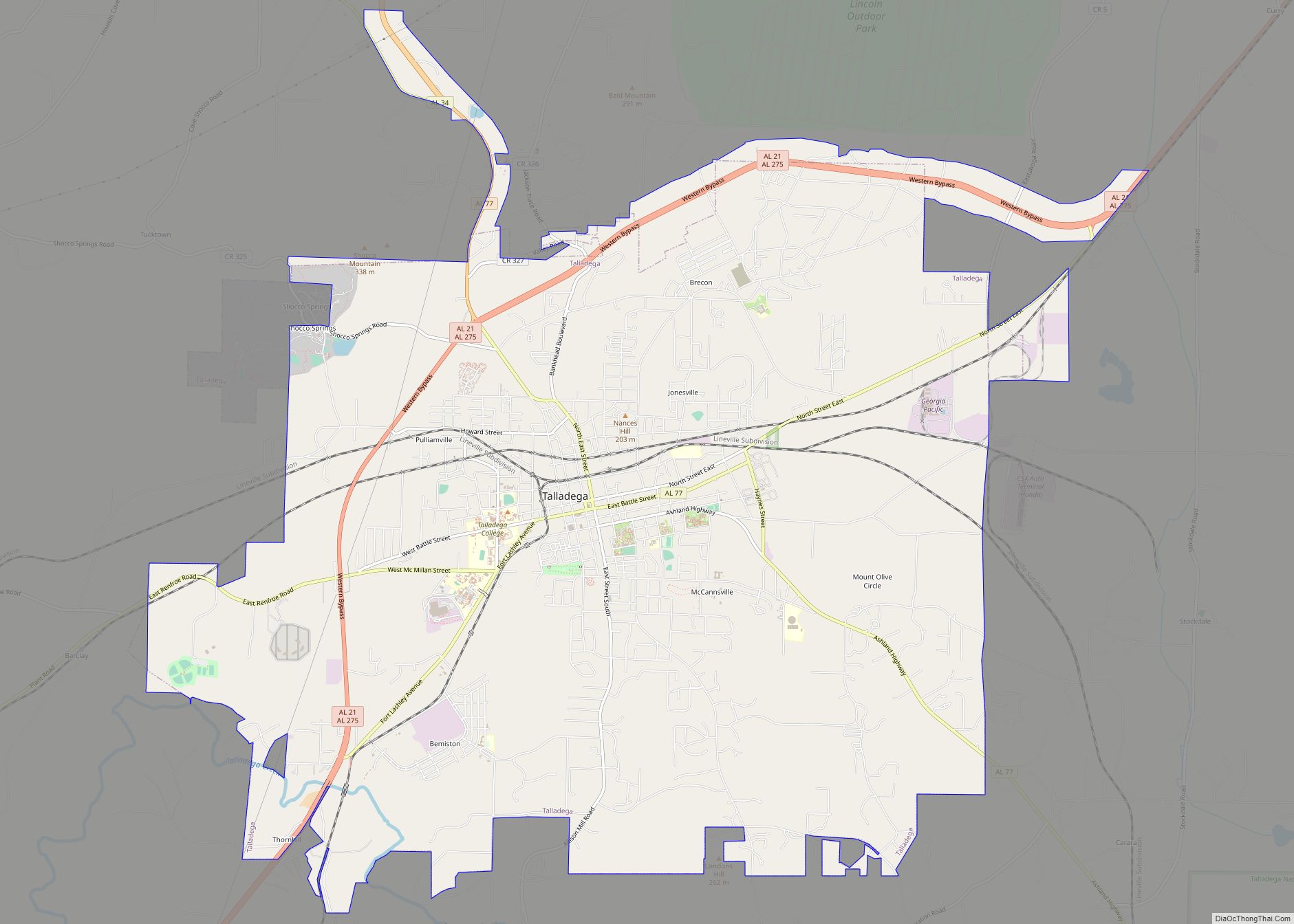
Talladega (/ˌtæləˈdɪɡə/, also /ˌtæləˈdeɪɡə/) is the county seat of Talladega County, Alabama, United States. It was incorporated in 1835. At the 2020 census, the population was 15,861. Talladega is approximately 50 miles (80 km) east of one of the state’s largest cities, Birmingham. The city is home to the Alabama Institute for the Deaf and Blind ... Read more
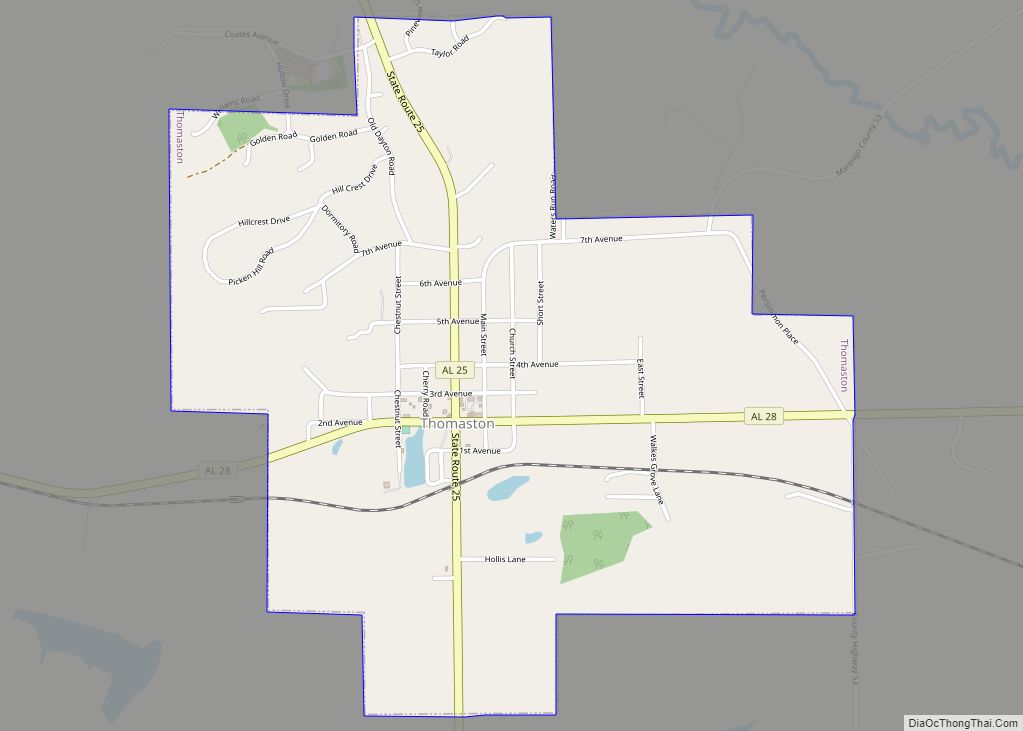
Thomaston is a town in Marengo County, Alabama, United States. At the 2020 census the population was 326, down from 417 at the 2010 census. Thomaston town overview: Name: Thomaston town LSAD Code: 43 LSAD Description: town (suffix) State: Alabama County: Marengo County Elevation: 187 ft (57 m) Total Area: 2.01 sq mi (5.2 km²) Land Area: 2.01 sq mi (5.2 km²) Water ... Read more
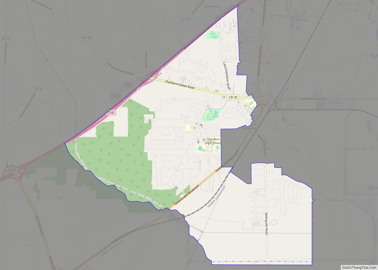
Theodore is an unincorporated area and census-designated place (CDP) in Mobile County, Alabama, United States. The population was 6,270 at the 2020 census. It is a part of the Mobile metropolitan area. Prior to 1900 this area was known as “Clements”, but it is now named for William Theodore Hieronymous, a sawmill operator and postmaster. ... Read more
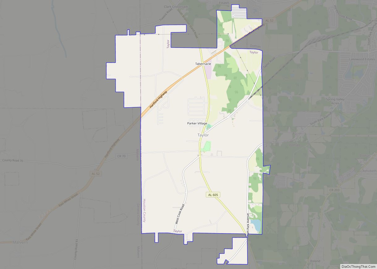
Taylor is a town in Geneva and Houston counties in the U.S. state of Alabama. Taylor was first settled in the 1870s, named after an early family that helped secure the first post office. It was not incorporated until almost a century later in June 1967. It is part of the Dothan, Alabama Metropolitan Statistical ... Read more
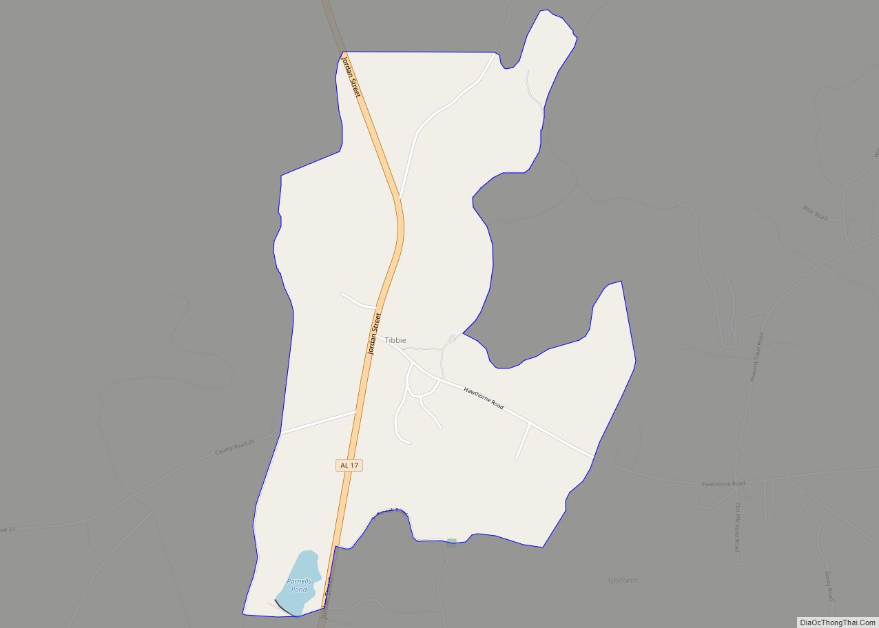
Tibbie is a census-designated place and unincorporated community in Washington County, Alabama, United States. Its population was 41 as of the 2010 census. The Red Alabama Blackmouth Cur is thought to have originated in the area around Tibbie in the 1940s. Tibbie CDP overview: Name: Tibbie CDP LSAD Code: 57 LSAD Description: CDP (suffix) State: ... Read more
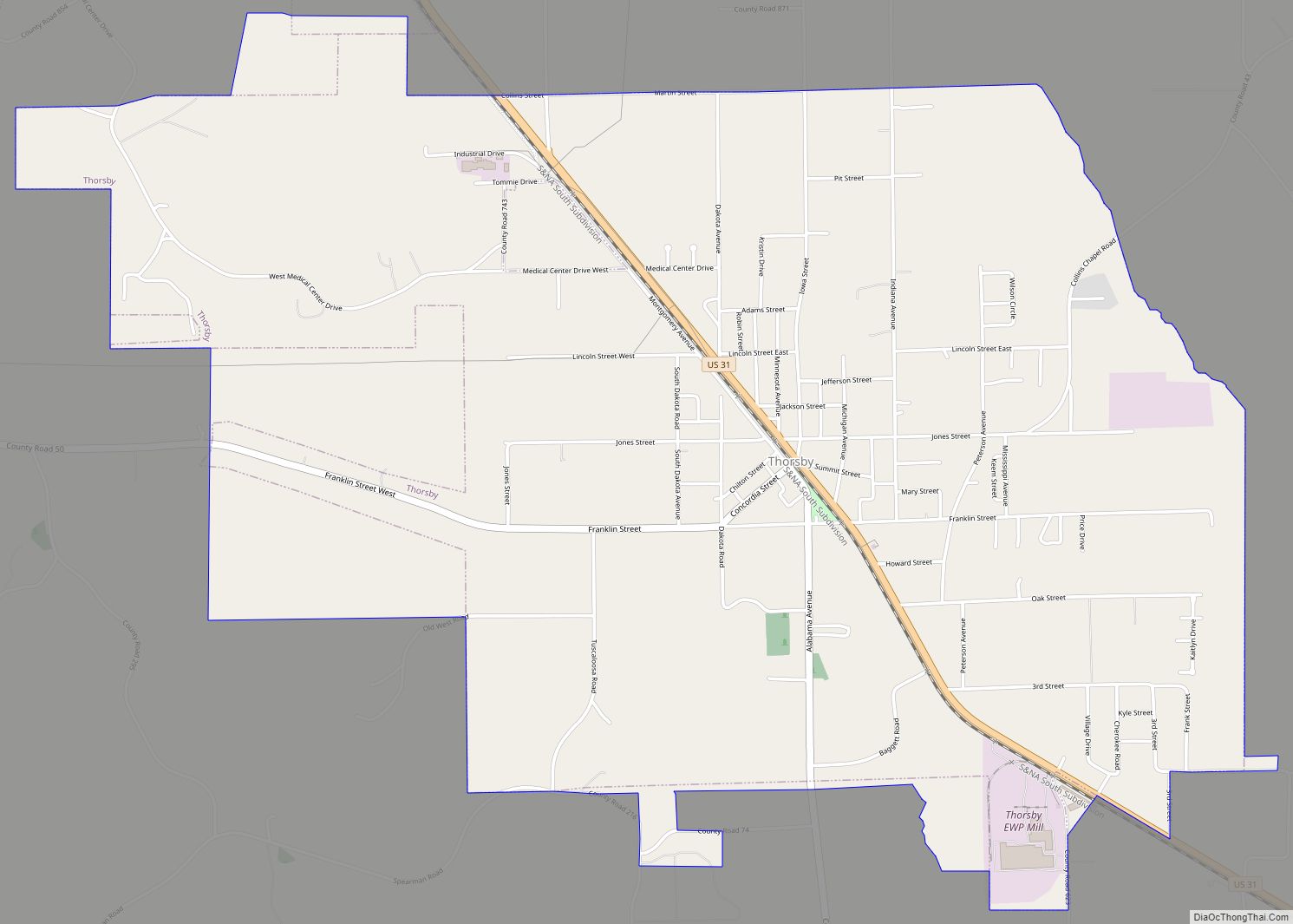
Thorsby is a town in Chilton County, Alabama, United States. As of the 2010 census, the population of the town was 1,980. The town mayor is Robert Hight. Thorsby town overview: Name: Thorsby town LSAD Code: 43 LSAD Description: town (suffix) State: Alabama County: Chilton County Elevation: 696 ft (212 m) Total Area: 5.84 sq mi (15.12 km²) Land Area: ... Read more
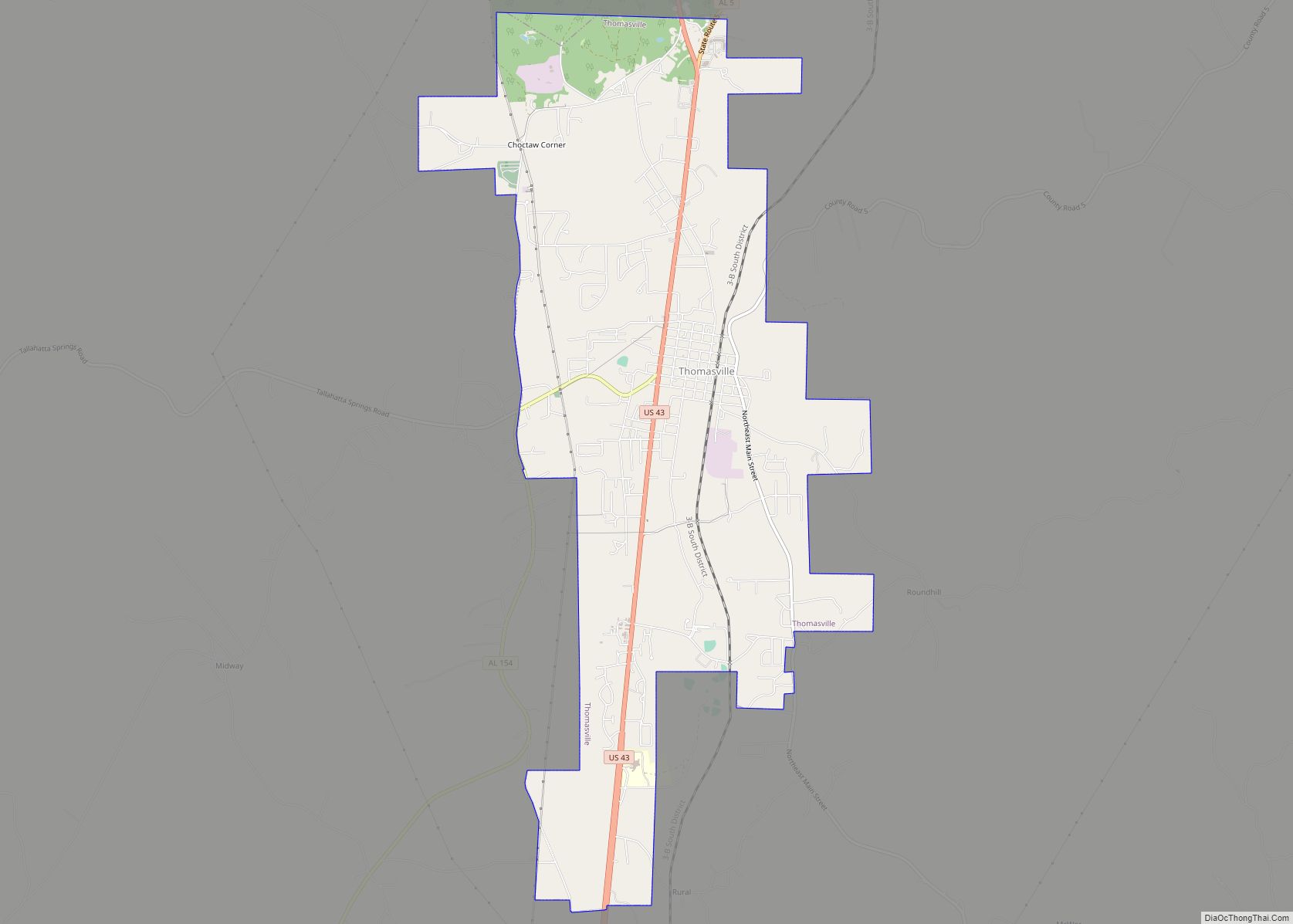
Thomasville is a city in Clarke County, Alabama, United States. At the 2020 census, the population was 3,649. Founded as a late 19th-century railroad town, it has transitioned over the course of more than a century into a 21st-century commercial hub. It is the childhood hometown of author and storyteller Kathryn Tucker Windham. Thomasville city ... Read more
