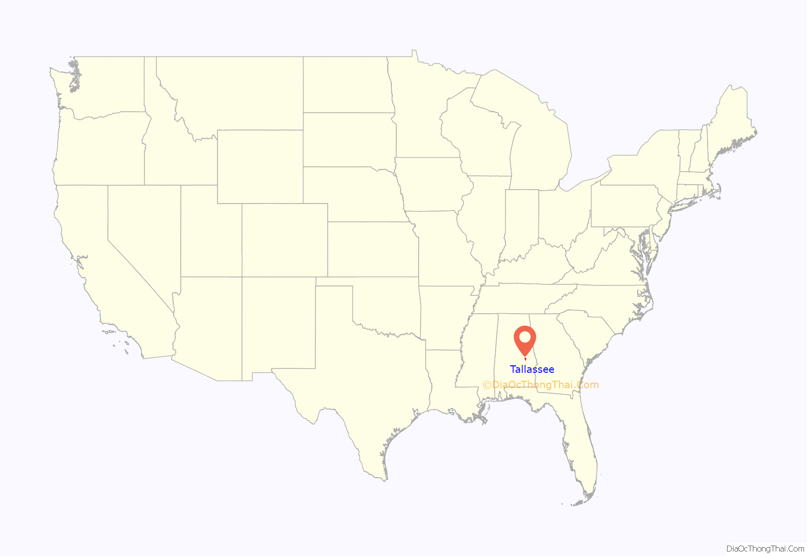
Tallassee (pronounced /ˈtæləsi/) is a city on the Tallapoosa River, located in both Elmore and Tallapoosa counties in the U.S. state of Alabama. At the 2020 census, the population was 4,763. It is home to a major hydroelectric power plant at Thurlow Dam operated by Alabama Power Company.
Tallassee is part of the Montgomery Metropolitan Statistical Area.
| Name: | Tallassee city |
|---|---|
| LSAD Code: | 25 |
| LSAD Description: | city (suffix) |
| State: | Alabama |
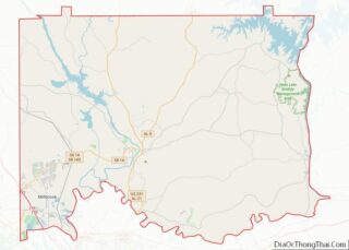
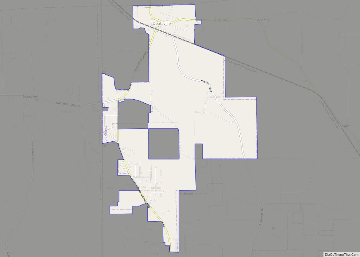
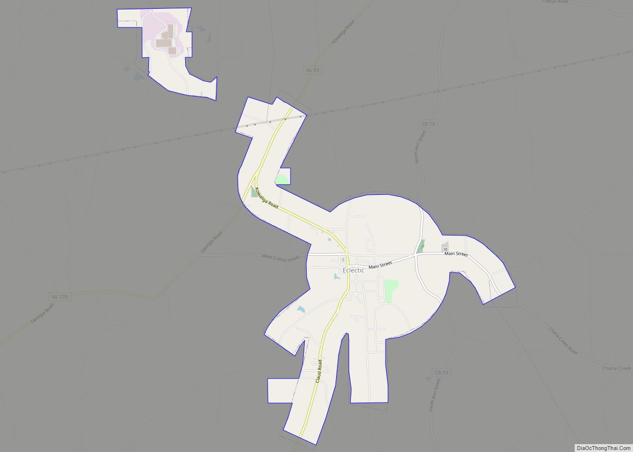
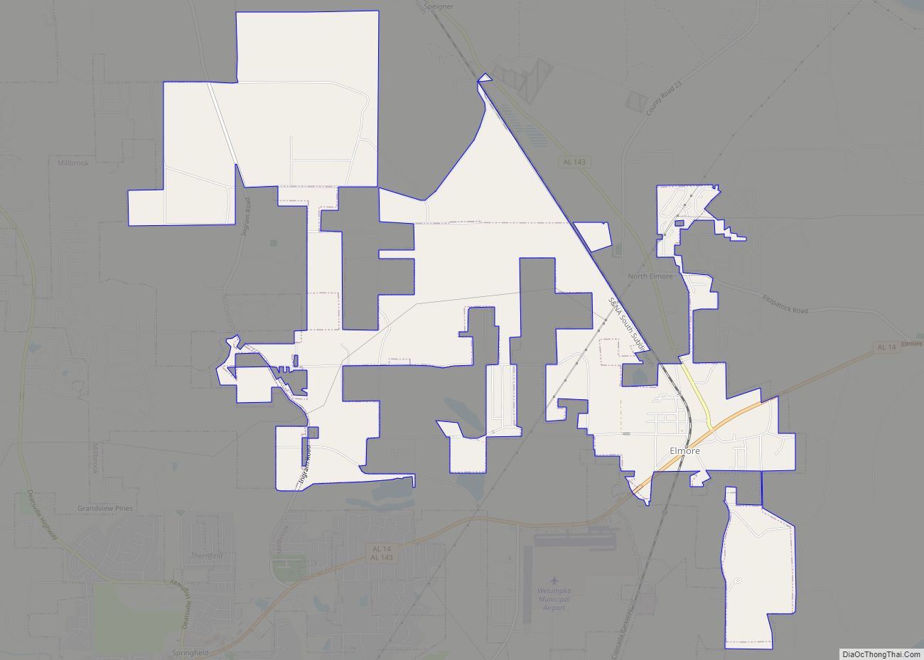
| County: | Elmore County, Tallapoosa County |
| Incorporated: | October 24, 1835 |
| Elevation: | 390 ft (119 m) |
| Total Area: | 12.19 sq mi (31.58 km²) |
| Land Area: | 11.37 sq mi (29.44 km²) |
| Water Area: | 0.83 sq mi (2.14 km²) |
| Total Population: | 4,763 |
| Population Density: | 418.98/sq mi (161.77/km²) |
| ZIP code: | 36045, 36078 |
| Area code: | 334 |
| FIPS code: | 0174688 |
| GNISfeature ID: | 0153643 |
| Website: | http://www.tallassee-al.gov |
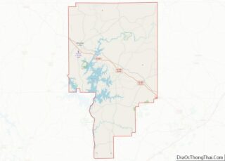
Online Interactive Map
Click on ![]() to view map in "full screen" mode.
to view map in "full screen" mode.
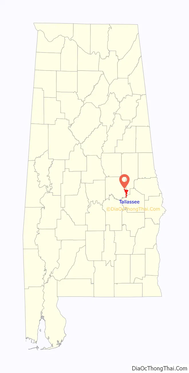
Tallassee location map. Where is Tallassee city?
History
The Creek Wars and Indian removal
The historic Creek peoples in this area are believed to have descended from the Mississippian culture, which flourished throughout the Mississippi and Ohio river valleys and the Southeast from about 1000 to 1450. They were mound builders, who created massive earthwork mounds as structures for political and religious purposes. They relied greatly on fishing and riverway trading at their major sites (c.f. Moundville, Tuscaloosa).
Talisi (which means “Old Town” in the Creek language) was a town of the Coosa Province of the Mississippian culture; it was visited in 1540 by Hernando de Soto and his expedition through the Southeast. Later it was occupied by the historic Creek people. The Tallassee area was the location of the Creek capital city, Tuckabatchee, as well as the location of the seven sacred plates.
Tensions first broke out as a civil war among the Creek, but US forces also got involved. Trying to intercept a Red Sticks party who were bringing back arms thought to be purchased from the Spanish in Florida, United States Army forces attacked the Creek at the Battle of Burnt Corn. The Creek band ultimately defeated the soldiers. In retaliation, the next month the Red Sticks attacked Fort Mims, about 35 miles north of Mobile, Alabama, killing most of the more than 500 settlers and mixed-race Lower Creek who had taken refuge there.
Osceola is believed to have been born in Talisi, to a mixed-race Creek mother and an English father. He was among those Creek who migrated to Florida after the Creek War and joined the Seminole Indians. He became a prominent leader who continued resistance to US forces and settlement.
The Creek Wars (1813–1814) were marked by mutual raids, civilian massacres, and scalpings by both sides. The last major battle was at Horseshoe Bend in 1814 on the banks of the Tallapoosa River. Led by then-General Andrew Jackson, a coalition of militia from Alabama, Tennessee and Georgia, federal troops, Lower Creek, and Cherokee crushed the outnumbered and out-gunned Red Sticks. Jackson counted the conflict as among his politically strategic victories; it increased his popularity for later election to the presidency and his future policies of Indian removal.
After their defeat, many Creek migrated to Indian Territory, while some went into hiding with other resistant Indians in the Southeast, including the Cherokee and the Seminole tribes in Florida. The Creek who relocated from the Tuckabatchee area named a new settlement Talisi in Indian Territory. It was later known as Tulsa, Oklahoma.
American Civil War
“Tallassee sent her fair share, and more, of her sons to fight for the Confederacy and a Tallassee textile manufacturer, Barnett, Micou, and Company, supplied cloth for Confederate uniforms and tents, leased land and a building for production of a Confederate carbine, and produced supplies, laborers, and rations for the Armory, its employees, and officers.” In June 1864 the Confederate army moved the Richmond Carbine Factory from Virginia to an old Tallassee cotton mill. It began manufacturing the carbines. During the course of the American Civil War, the town of Tallassee was never attacked by Union forces, except for their one attempt to destroy the Tallassee Mill. The Tallassee Armory was the only Confederate one not destroyed during the war.
2009 Hotel Talisi fire
Early in the morning of November 30, 2009, the historic Hotel Talisi was heavily damaged by a fire. The hotel, closed since 2008, was purchased by a group of seven investors in the fall of 2009. It was renovated and had been reopened for a month. The fire destroyed the hotel and a consignment shop next door.
The fire was ruled an arson and 17-year-old, Dylan Keith Carroll, pleaded guilty to one count of second-degree arson, one count of third-degree arson, two counts of third-degree burglary, and three counts of first-degree criminal mischief.
After the trial, the hotel’s owners met in March 2010 and decided to rebuild the structure. However, the building remains a crumbling eyesore as Tallassee’s downtown begins to revive around it as of 2021.
Mills
“In 1900, the Tallassee Falls Manufacturing Company became a part of the Mount Vernon-Woodberry Cotton Duck Company. This company was formed by the consolidation of the Columbia Duck Mills, Columbia, South Carolina; the Mount Vernon Company and the Woodberry Manufacturing Company, Baltimore, Maryland: and the Tallassee Falls Manufacturing Company, Tallassee, Alabama. Besides these were included two small mills in Maryland and one in Connecticut. The new company comprises a total of fourteen plants and 227,000 spindles.” “Child labor was common in the Tallassee Mills, as in thousands of American industrial plants, until the 1930s. ” “The Houses on King Street, numbered 1, 3, and 5, today occupied by Ray Carr, Houston Blount, and Frazier Elliot, were built about 1863 for the families of the confederate officers in charge of the armory and those in charge of the mill.” The Mount Vernon Mill in Tallassee was completely destroyed by a fire on May 5, 2016.
“The Tallassee National Guard Company served in World War I, and a community library was established in 1921. During WWII, the mills received awards of excellence from the U.S. Army for production of war materials.”
“The “long bell” has been rung in Tallassee at 4:30 a.m. every day except Sunday since Barnett’s time except for six months period in 1948 during which the bell tower was being repaired. Visitors who are unacquainted with Tallassee custom are sometimes startled by being awakened by the sound of the bell. They are sure there is a fire in town and that this is the alarm bell ringing. The bell ringing was really for the mills. Thomas Barnett married his cousin Miss Martha MiCou. Their sons, Thomas M., Jr. and Nicholas, lived in Tallassee, building homes on the hill above the mill. Nicholas Barnett home standing today, known as the George D. Patterson home. These families put capital in the mills known as Barnett, Gilmer and Company.” “MeShane Bell Foundry.” Tallassee: What a Site!. Tallasse, Ala.: [Tallassee Chamber of Commerce], 1988. 20. Print
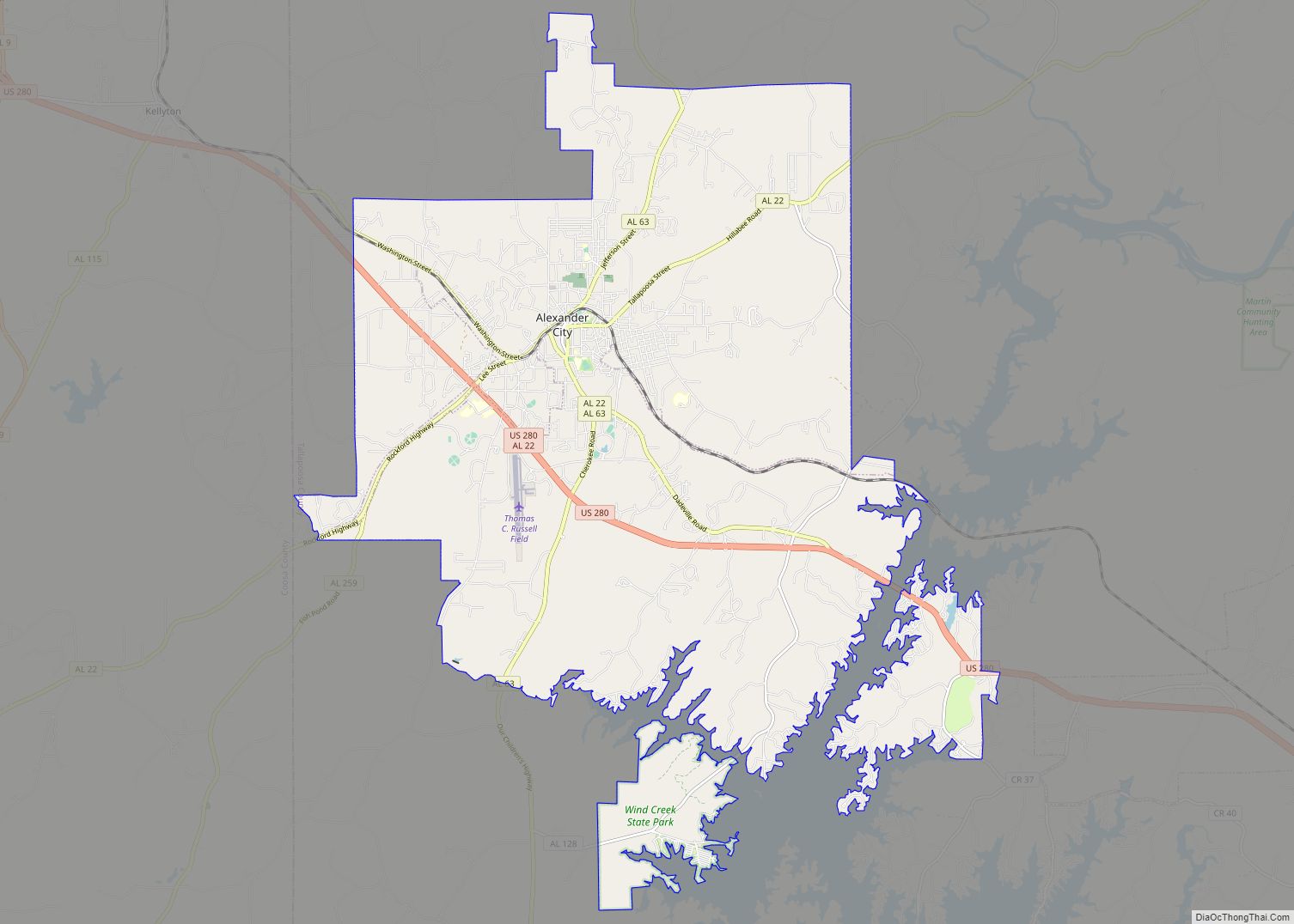
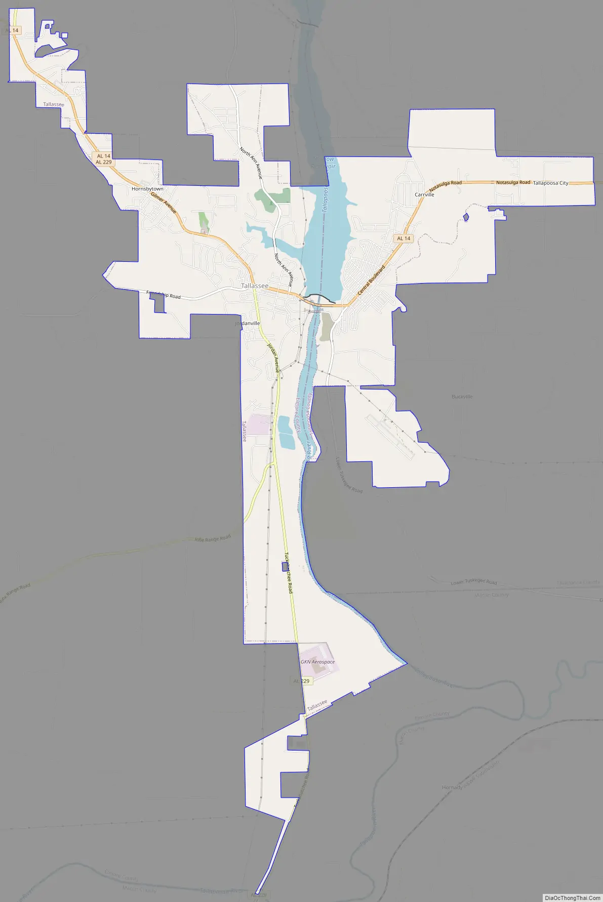
Tallassee Road Map
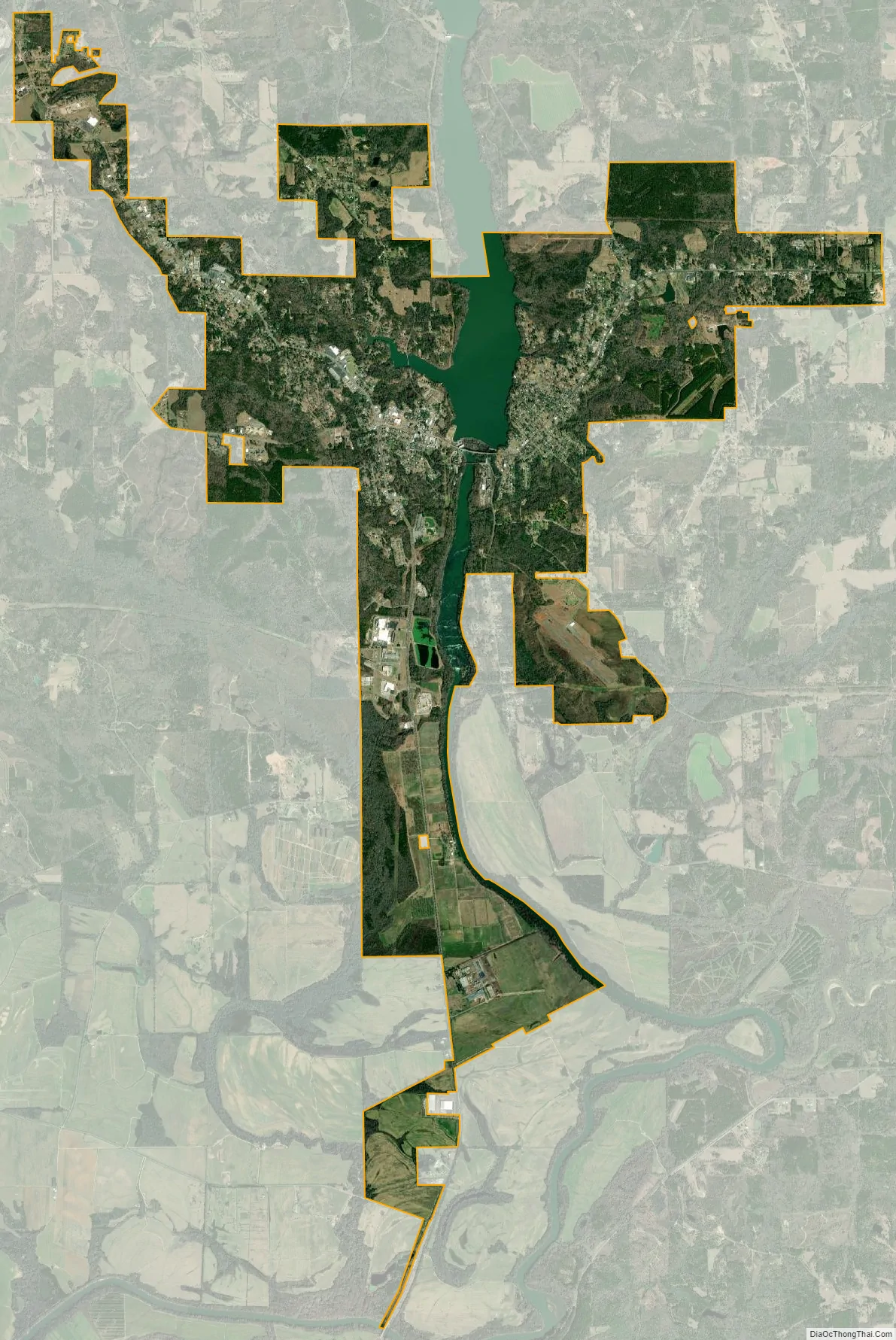
Tallassee city Satellite Map
Geography
Tallassee is located at 32°32′22″N 85°53′35″W / 32.53944°N 85.89306°W / 32.53944; -85.89306 (32.539402, −85.893061). According to the U.S. Census Bureau, the city has a total area of 10.2 square miles (26 km), of which 9.6 square miles (25 km) is land and 0.5 square miles (1.4 km, 5.21%) is water.
Tallassee is located in the densely forested Emerald Mountains, a small southeastern chain of the Lower Appalachians. It is bordered by two major rivers: the Coosa River to the west, and the Tallapoosa in the east. The Tallapoosa River also serves as the dividing line between two counties and towns: the City of Tallassee (Elmore County) and East Tallassee (Tallapoosa County).
The Alabama Power Company began to develop the Tallapoosa River in 1923 and in the following ten years three power plants built by the Alabama Power Company were built along the Tallapoosa River. Composed of the Thurlow Dam, the Yates Dam, and Martin Dam, these power plants have a combined capacity of 269,000 horsepower.
Tallassee is served by State Highway 14, which runs northwest-northeast through the town, and State Highway 229, which runs northwest-south. AL-14 leads east 15 mi (24 km) to Notasulga and west 22 mi (35 km) to Wetumpka. AL-229 leads north 15 mi (24 km) to Alabama State Route 63 northeast of Wetumpka, and south 8 mi (13 km) to Interstate 85 at exit 26.
Tallassee Municipal Airport serves general aviation.
See also
Map of Alabama State and its subdivision:- Autauga
- Baldwin
- Barbour
- Bibb
- Blount
- Bullock
- Butler
- Calhoun
- Chambers
- Cherokee
- Chilton
- Choctaw
- Clarke
- Clay
- Cleburne
- Coffee
- Colbert
- Conecuh
- Coosa
- Covington
- Crenshaw
- Cullman
- Dale
- Dallas
- De Kalb
- Elmore
- Escambia
- Etowah
- Fayette
- Franklin
- Geneva
- Greene
- Hale
- Henry
- Houston
- Jackson
- Jefferson
- Lamar
- Lauderdale
- Lawrence
- Lee
- Limestone
- Lowndes
- Macon
- Madison
- Marengo
- Marion
- Marshall
- Mobile
- Monroe
- Montgomery
- Morgan
- Perry
- Pickens
- Pike
- Randolph
- Russell
- Saint Clair
- Shelby
- Sumter
- Talladega
- Tallapoosa
- Tuscaloosa
- Walker
- Washington
- Wilcox
- Winston
- Alabama
- Alaska
- Arizona
- Arkansas
- California
- Colorado
- Connecticut
- Delaware
- District of Columbia
- Florida
- Georgia
- Hawaii
- Idaho
- Illinois
- Indiana
- Iowa
- Kansas
- Kentucky
- Louisiana
- Maine
- Maryland
- Massachusetts
- Michigan
- Minnesota
- Mississippi
- Missouri
- Montana
- Nebraska
- Nevada
- New Hampshire
- New Jersey
- New Mexico
- New York
- North Carolina
- North Dakota
- Ohio
- Oklahoma
- Oregon
- Pennsylvania
- Rhode Island
- South Carolina
- South Dakota
- Tennessee
- Texas
- Utah
- Vermont
- Virginia
- Washington
- West Virginia
- Wisconsin
- Wyoming