Talladega (/ˌtæləˈdɪɡə/, also /ˌtæləˈdeɪɡə/) is the county seat of Talladega County, Alabama, United States. It was incorporated in 1835. At the 2020 census, the population was 15,861. Talladega is approximately 50 miles (80 km) east of one of the state’s largest cities, Birmingham.
The city is home to the Alabama Institute for the Deaf and Blind and the Talladega Municipal Airport, a public general aviation airport. The Talladega Superspeedway, Talladega College and the International Motorsports Hall of Fame are located nearby. The First National Bank of Talladega (now First Bank of Alabama) is the oldest bank in the State of Alabama, being founded in 1848.
| Name: | Talladega city |
|---|---|
| LSAD Code: | 25 |
| LSAD Description: | city (suffix) |
| State: | Alabama |
| County: | Talladega County |
| Elevation: | 587 ft (179 m) |
| Total Area: | 26.13 sq mi (67.69 km²) |
| Land Area: | 26.05 sq mi (67.48 km²) |
| Water Area: | 0.08 sq mi (0.21 km²) |
| Total Population: | 15,861 |
| Population Density: | 608.82/sq mi (235.06/km²) |
| ZIP code: | 35160-35161 |
| Area code: | 256/938. |
| FIPS code: | 0174592 |
| GNISfeature ID: | 2405562 |
| Website: | www.talladega.com |
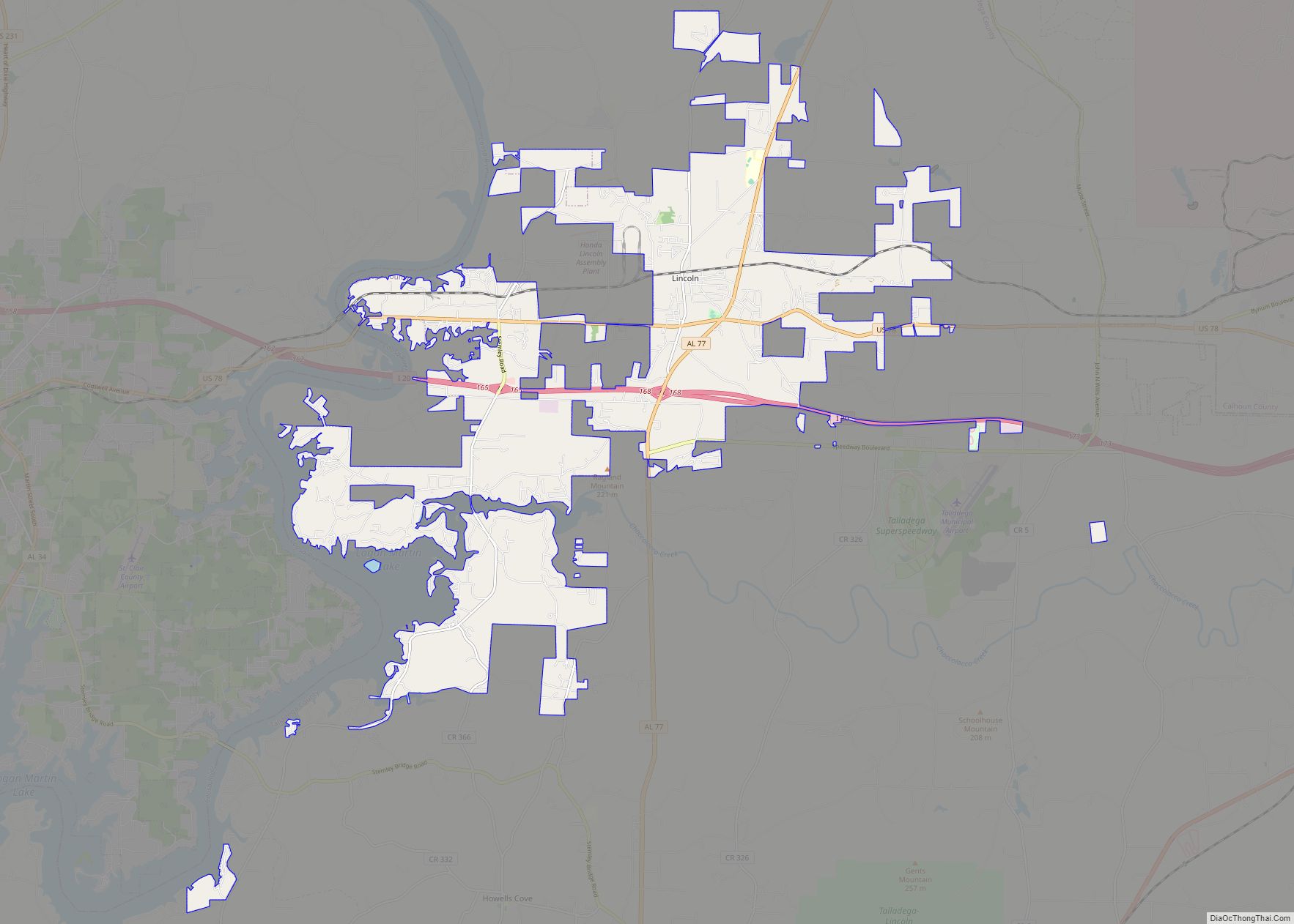
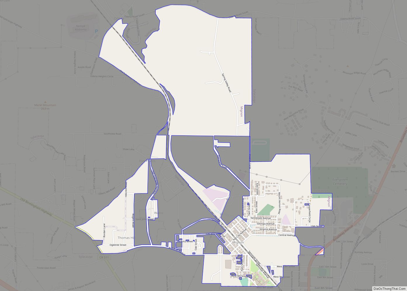
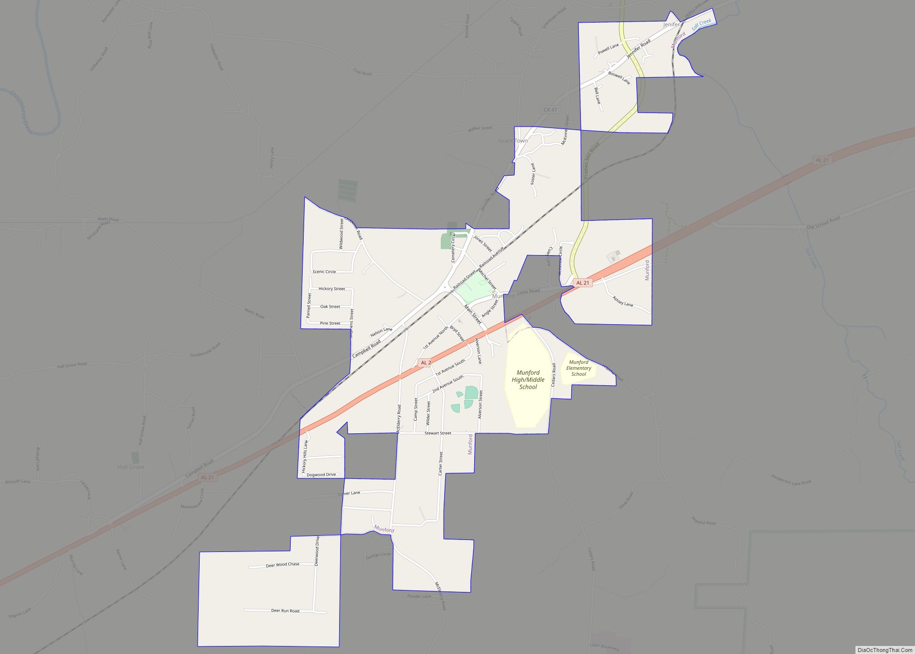
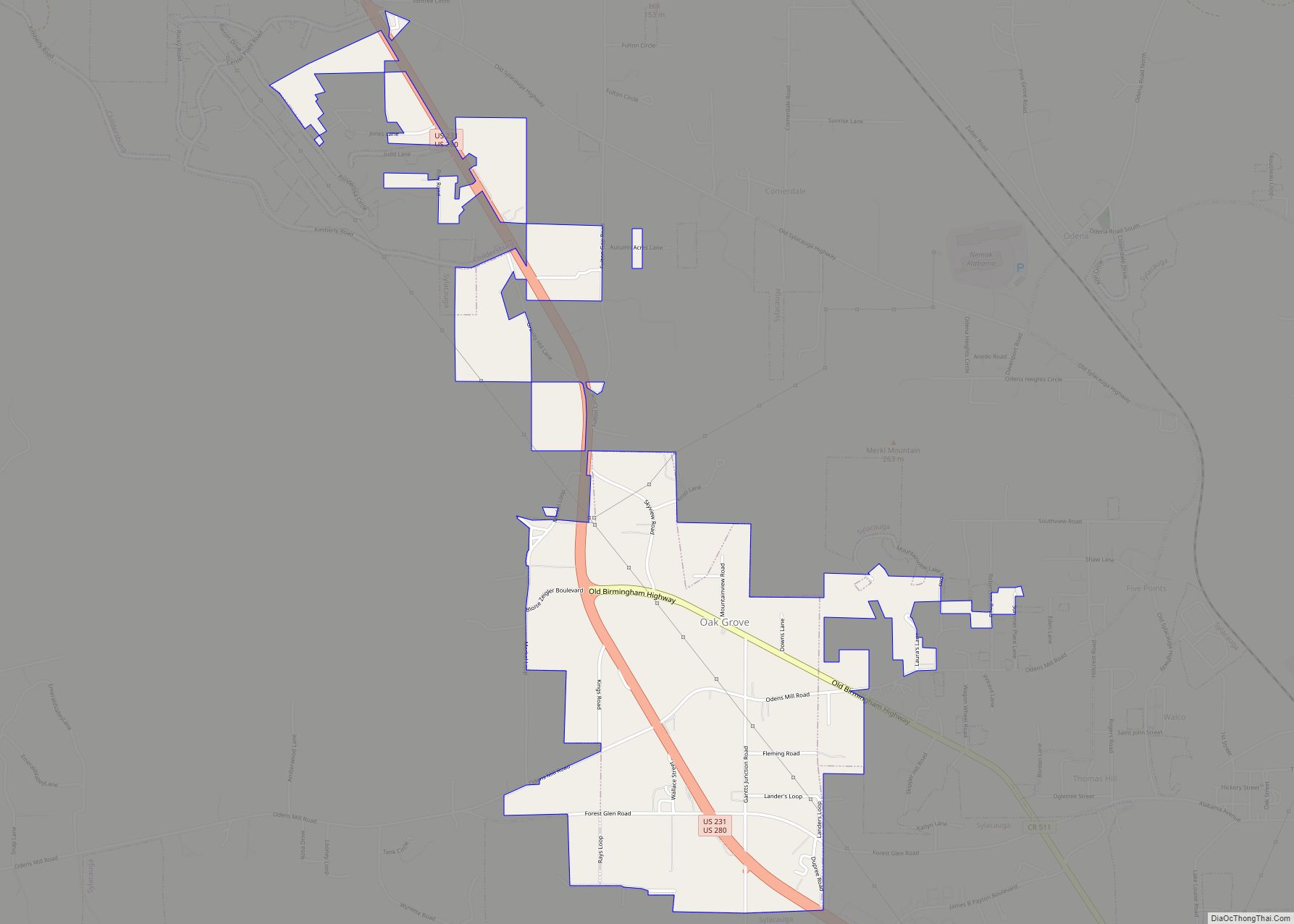
Online Interactive Map
Click on ![]() to view map in "full screen" mode.
to view map in "full screen" mode.
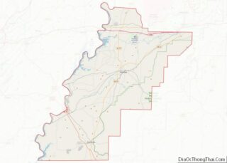
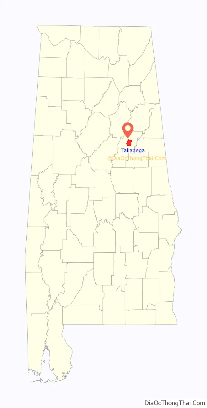
Talladega location map. Where is Talladega city?

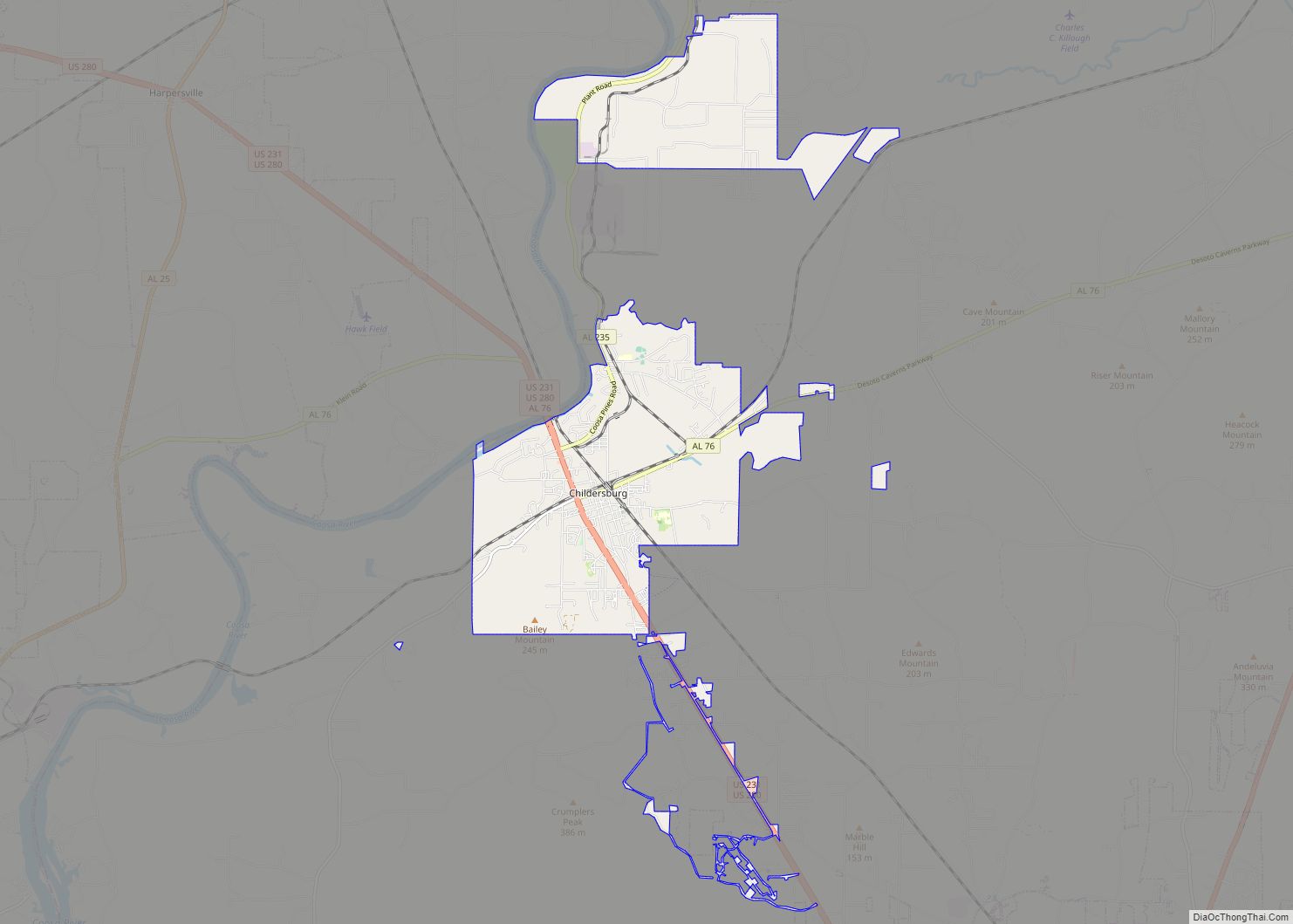
Talladega Road Map

Talladega city Satellite Map

Geography
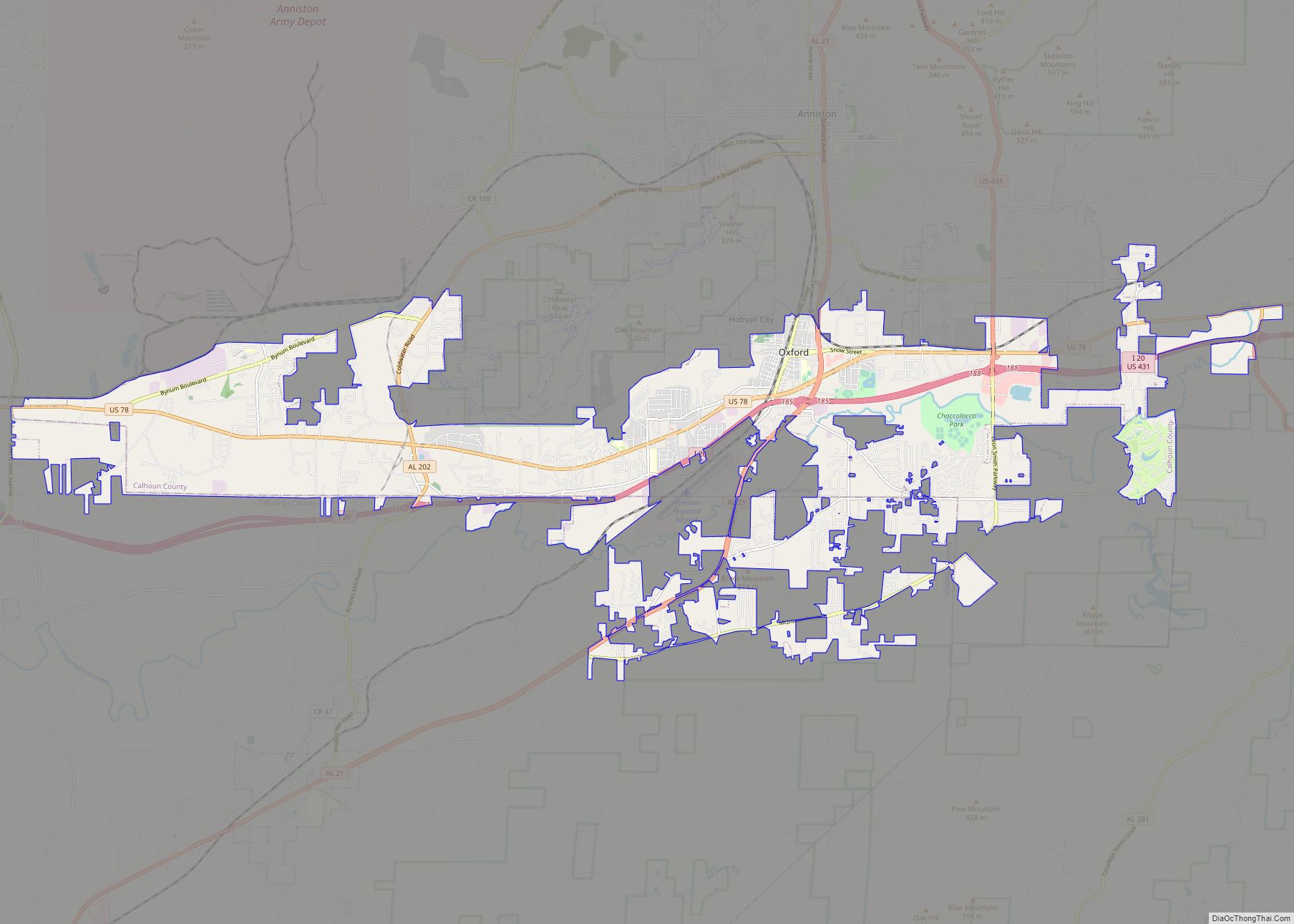
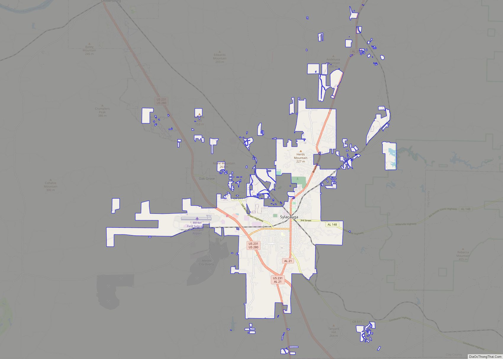
Talladega is located in east central Alabama at 33° 26′ 5″ N, 86° 6′ 5″ W (33.434722 N, -86.101389 W). Alabama State Routes 21, 77, and 275 are the main routes through the city. AL-77 runs through the downtown area from north to south, leading north 14 mi (23 km) to Lincoln along Interstate 20 and southeast 24 mi (39 km) to Ashland. AL-21 runs from southwest to northeast through the city, leading northeast 23 mi (37 km) to Oxford and southwest 21 mi (34 km) to Sylacauga. AL-275 runs to the north and west of the city as a bypass of the downtown area.
According to the U.S. Census Bureau, the city has a total area of 24.1 square miles (62.3 km), of which 24.0 square miles (62.1 km) is land and 0.077 square miles (0.2 km), or 0.30%, is water.
Climate
The climate in this area is characterized by hot, humid summers and generally mild to cool winters. According to the Köppen Climate Classification system, Talladega has a humid subtropical climate, abbreviated “Cfa” on climate maps.
The data below were accessed via the WRCC. They were compiled over the time period from 1888 to when this chart was created (July 2018).
Talladega’s record high of 109 °F (42.8 °C) occurred in September 1925 (Alabama’s record high of 112 °F was recorded in Centreville that same month), July 1930, June 1931, and July 1933. The record low of -10 °F (-23.3 °C) occurred in February 1899.
See also
Map of Alabama State and its subdivision:- Autauga
- Baldwin
- Barbour
- Bibb
- Blount
- Bullock
- Butler
- Calhoun
- Chambers
- Cherokee
- Chilton
- Choctaw
- Clarke
- Clay
- Cleburne
- Coffee
- Colbert
- Conecuh
- Coosa
- Covington
- Crenshaw
- Cullman
- Dale
- Dallas
- De Kalb
- Elmore
- Escambia
- Etowah
- Fayette
- Franklin
- Geneva
- Greene
- Hale
- Henry
- Houston
- Jackson
- Jefferson
- Lamar
- Lauderdale
- Lawrence
- Lee
- Limestone
- Lowndes
- Macon
- Madison
- Marengo
- Marion
- Marshall
- Mobile
- Monroe
- Montgomery
- Morgan
- Perry
- Pickens
- Pike
- Randolph
- Russell
- Saint Clair
- Shelby
- Sumter
- Talladega
- Tallapoosa
- Tuscaloosa
- Walker
- Washington
- Wilcox
- Winston
- Alabama
- Alaska
- Arizona
- Arkansas
- California
- Colorado
- Connecticut
- Delaware
- District of Columbia
- Florida
- Georgia
- Hawaii
- Idaho
- Illinois
- Indiana
- Iowa
- Kansas
- Kentucky
- Louisiana
- Maine
- Maryland
- Massachusetts
- Michigan
- Minnesota
- Mississippi
- Missouri
- Montana
- Nebraska
- Nevada
- New Hampshire
- New Jersey
- New Mexico
- New York
- North Carolina
- North Dakota
- Ohio
- Oklahoma
- Oregon
- Pennsylvania
- Rhode Island
- South Carolina
- South Dakota
- Tennessee
- Texas
- Utah
- Vermont
- Virginia
- Washington
- West Virginia
- Wisconsin
- Wyoming