Thomasville is a city in Clarke County, Alabama, United States. At the 2020 census, the population was 3,649. Founded as a late 19th-century railroad town, it has transitioned over the course of more than a century into a 21st-century commercial hub. It is the childhood hometown of author and storyteller Kathryn Tucker Windham.
| Name: | Thomasville city |
|---|---|
| LSAD Code: | 25 |
| LSAD Description: | city (suffix) |
| State: | Alabama |
| County: | Clarke County |
| Founded: | 1888 |
| Elevation: | 381 ft (116 m) |
| Total Area: | 8.73 sq mi (22.62 km²) |
| Land Area: | 8.73 sq mi (22.61 km²) |
| Water Area: | 0.00 sq mi (0.00 km²) |
| Total Population: | 3,649 |
| Population Density: | 417.94/sq mi (161.37/km²) |
| ZIP code: | 36762, 36784 |
| Area code: | 334 |
| FIPS code: | 0175960 |
| GNISfeature ID: | 0153683 |
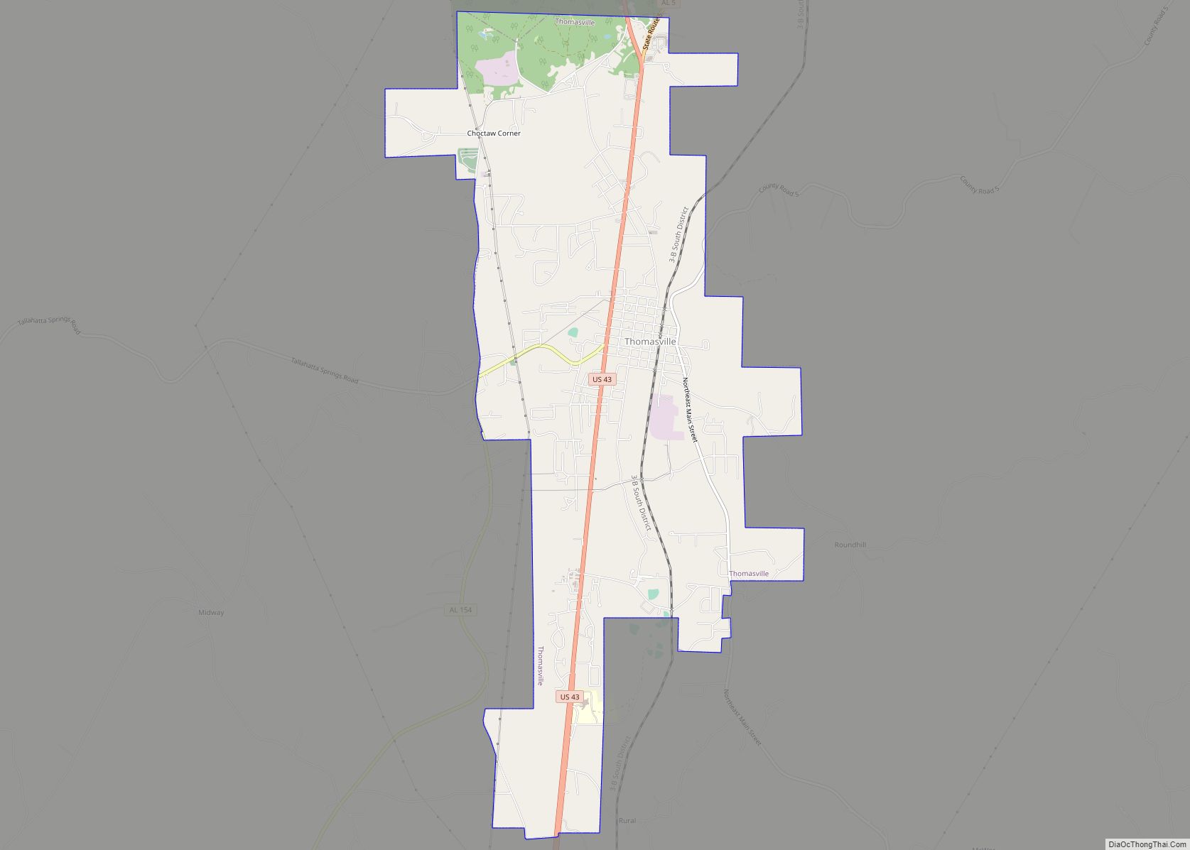
Online Interactive Map
Click on ![]() to view map in "full screen" mode.
to view map in "full screen" mode.
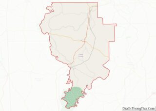
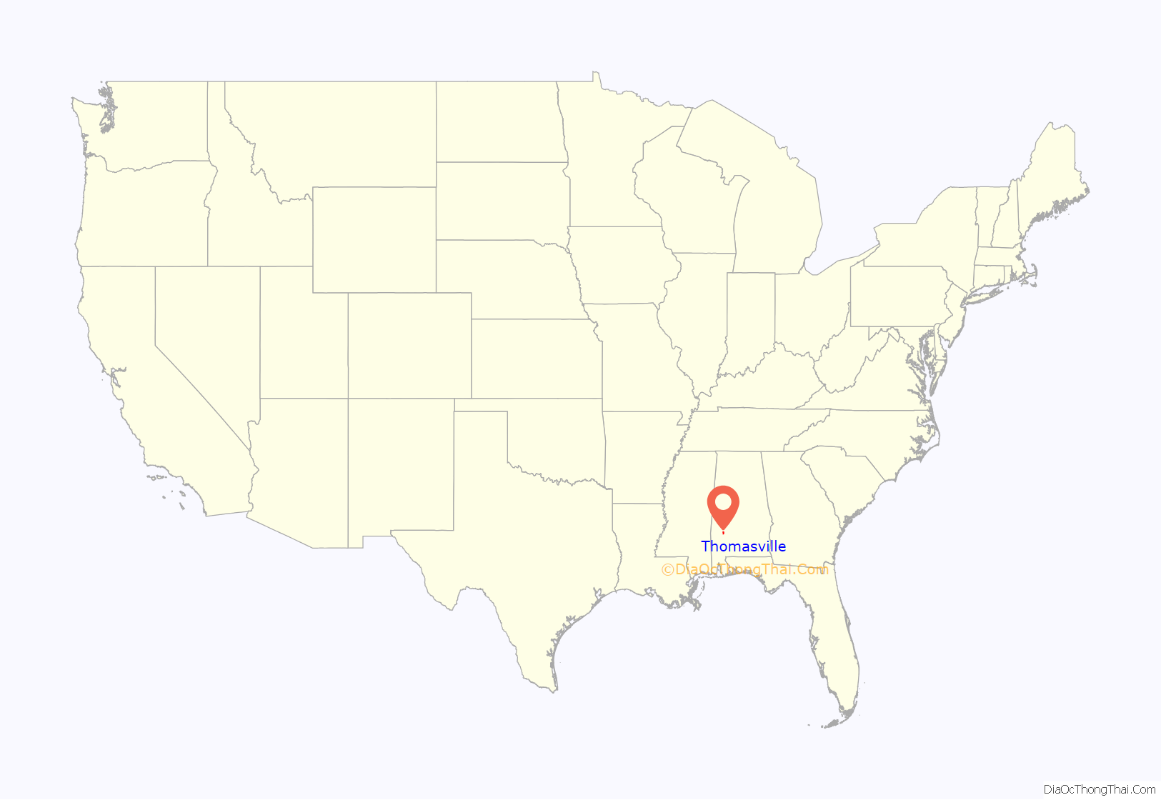
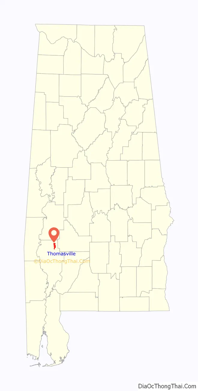
Thomasville location map. Where is Thomasville city?
History
Thomasville was founded in 1888 and incorporated on November 24 of that year. The former community of Choctaw Corner, dating back to the antebellum period, was a settlement west of what would become Thomasville, but when the merchants there learned that a railroad was going to bypass their town to the east, they decided to move their stores to be near the railroad. The former community is now inside the city limits. The tracks between Mobile and Selma were completed the same year that Thomasville began. First referred to as “Choctaw”, the town was named after railroad financier and former Union Civil War general, Samuel Thomas, after he donated $500 for the construction of Thomasville’s first school. The town had expanded by the end of the 19th century with numerous stores, several hotels and boarding houses, and a depot station. In 1899, what is now downtown was destroyed by a fire that burned several blocks of the wood frame buildings. Thomasville quickly rebuilt, this time in brick, and was once again flourishing by the start of World War I.
Over the next century, Thomasville continued to grow and expand. Over the years, many businesses came and others left. These included garment factories, sawmills, and cotton gins. The railroad discontinued its use of the town’s depot by the 1950s, but that time also saw the opening of Thomasville’s FPS-35 radar base, part of the Air Defense Command’s Semi Automatic Ground Environment (SAGE) system, bringing in servicemen and their families. The prototype for the FPS-35 radar was developed at the Thomasville Aircraft Control and Warning Station. The 1950s also saw the planting of roses along Highway 43, the main highway through Thomasville, earning it the nickname of The City of Roses. The 1960s and 1970s saw the opening of numerous paper mills in the area, an industry that continues to be important to the economy of Thomasville today. This time also saw businesses begin to relocate from downtown to the main highway. The Thomasville Historic District was designated in 1999 by the National Register of Historic Places.
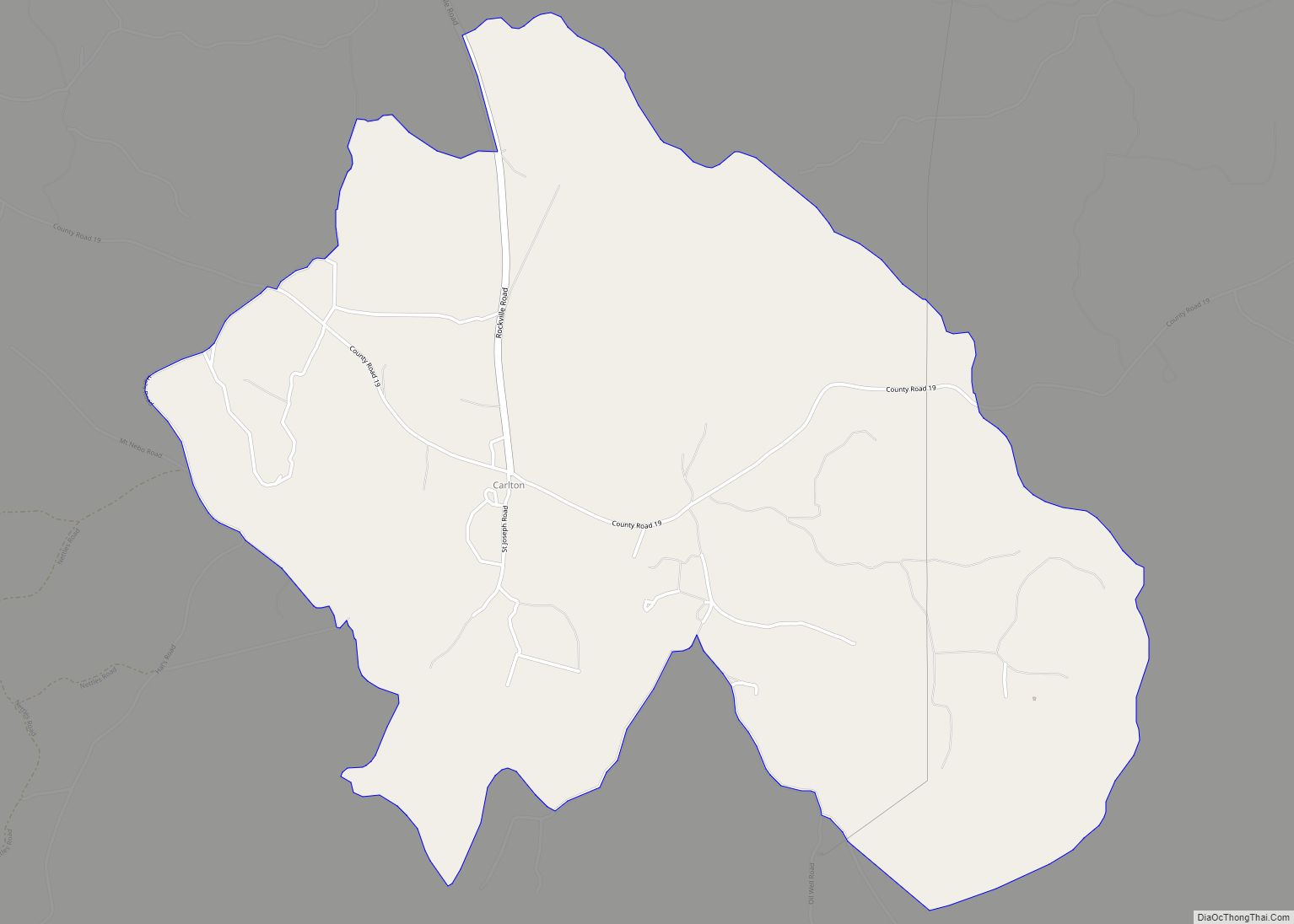
Thomasville Road Map
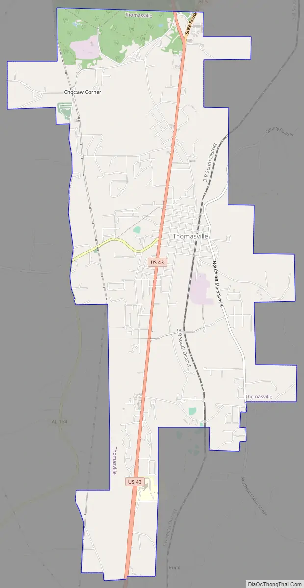
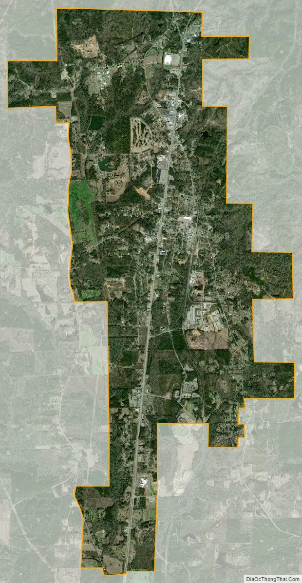
Thomasville city Satellite Map
Geography
Thomasville is located at coordinates 31°55′15″N 87°44′24″W / 31.92084°N 87.74008°W / 31.92084; -87.74008Coordinates: 31°55′15″N 87°44′24″W / 31.92084°N 87.74008°W / 31.92084; -87.74008. It is the northernmost incorporated settlement in Clarke County and is situated on an elevated area between the Tombigbee and Alabama rivers. The elevation is 381 feet (116 m). The terrain is gently rolling hills, covered primarily in pine forest. According to the U.S. Census Bureau, the city has a total area of 8.8 square miles (23 km), all land.
Climate
The climate in this area is characterized by hot, humid summers and generally mild to cool winters. According to the Köppen Climate Classification system, Thomasville has a humid subtropical climate, abbreviated “Cfa” on climate maps.
See also
Map of Alabama State and its subdivision:- Autauga
- Baldwin
- Barbour
- Bibb
- Blount
- Bullock
- Butler
- Calhoun
- Chambers
- Cherokee
- Chilton
- Choctaw
- Clarke
- Clay
- Cleburne
- Coffee
- Colbert
- Conecuh
- Coosa
- Covington
- Crenshaw
- Cullman
- Dale
- Dallas
- De Kalb
- Elmore
- Escambia
- Etowah
- Fayette
- Franklin
- Geneva
- Greene
- Hale
- Henry
- Houston
- Jackson
- Jefferson
- Lamar
- Lauderdale
- Lawrence
- Lee
- Limestone
- Lowndes
- Macon
- Madison
- Marengo
- Marion
- Marshall
- Mobile
- Monroe
- Montgomery
- Morgan
- Perry
- Pickens
- Pike
- Randolph
- Russell
- Saint Clair
- Shelby
- Sumter
- Talladega
- Tallapoosa
- Tuscaloosa
- Walker
- Washington
- Wilcox
- Winston
- Alabama
- Alaska
- Arizona
- Arkansas
- California
- Colorado
- Connecticut
- Delaware
- District of Columbia
- Florida
- Georgia
- Hawaii
- Idaho
- Illinois
- Indiana
- Iowa
- Kansas
- Kentucky
- Louisiana
- Maine
- Maryland
- Massachusetts
- Michigan
- Minnesota
- Mississippi
- Missouri
- Montana
- Nebraska
- Nevada
- New Hampshire
- New Jersey
- New Mexico
- New York
- North Carolina
- North Dakota
- Ohio
- Oklahoma
- Oregon
- Pennsylvania
- Rhode Island
- South Carolina
- South Dakota
- Tennessee
- Texas
- Utah
- Vermont
- Virginia
- Washington
- West Virginia
- Wisconsin
- Wyoming