Thomaston is a town in Marengo County, Alabama, United States. At the 2020 census the population was 326, down from 417 at the 2010 census.
| Name: | Thomaston town |
|---|---|
| LSAD Code: | 43 |
| LSAD Description: | town (suffix) |
| State: | Alabama |
| County: | Marengo County |
| Elevation: | 187 ft (57 m) |
| Total Area: | 2.01 sq mi (5.2 km²) |
| Land Area: | 2.01 sq mi (5.2 km²) |
| Water Area: | 0.00 sq mi (0.0 km²) |
| Total Population: | 326 |
| Population Density: | 161.95/sq mi (62.53/km²) |
| ZIP code: | 36783 |
| Area code: | 334 |
| FIPS code: | 0175936 |
| GNISfeature ID: | 0127881 |
| Website: | townofthomaston.com |
Online Interactive Map
Click on ![]() to view map in "full screen" mode.
to view map in "full screen" mode.
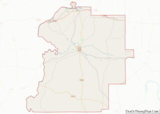
Thomaston location map. Where is Thomaston town?


History
Thomaston was platted in 1901 when the railroad was extended to that point. Thomaston was named for C. B. Thomas, a town promoter. A post office called Thomaston has been in operation since 1892. It was incorporated on November 15, 1901.
Historic sites
Thomaston has one historic district, the Thomaston Central Historic District, which encompasses the core of the town. Additionally, there are three individually listed properties on the National Register of Historic Places: the Thomaston Colored Institute, C. S. Golden House, and Patrick Farrish House. The town is home to the Alabama Rural Heritage Center, and the Thomaston Community Market, (both now defunct), both community projects of Auburn University’s Rural Studio. Thomaston is also home to the Alabama Whitetail Records Museum.
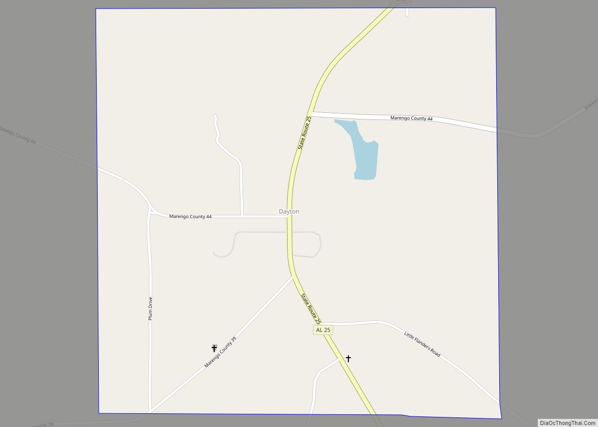
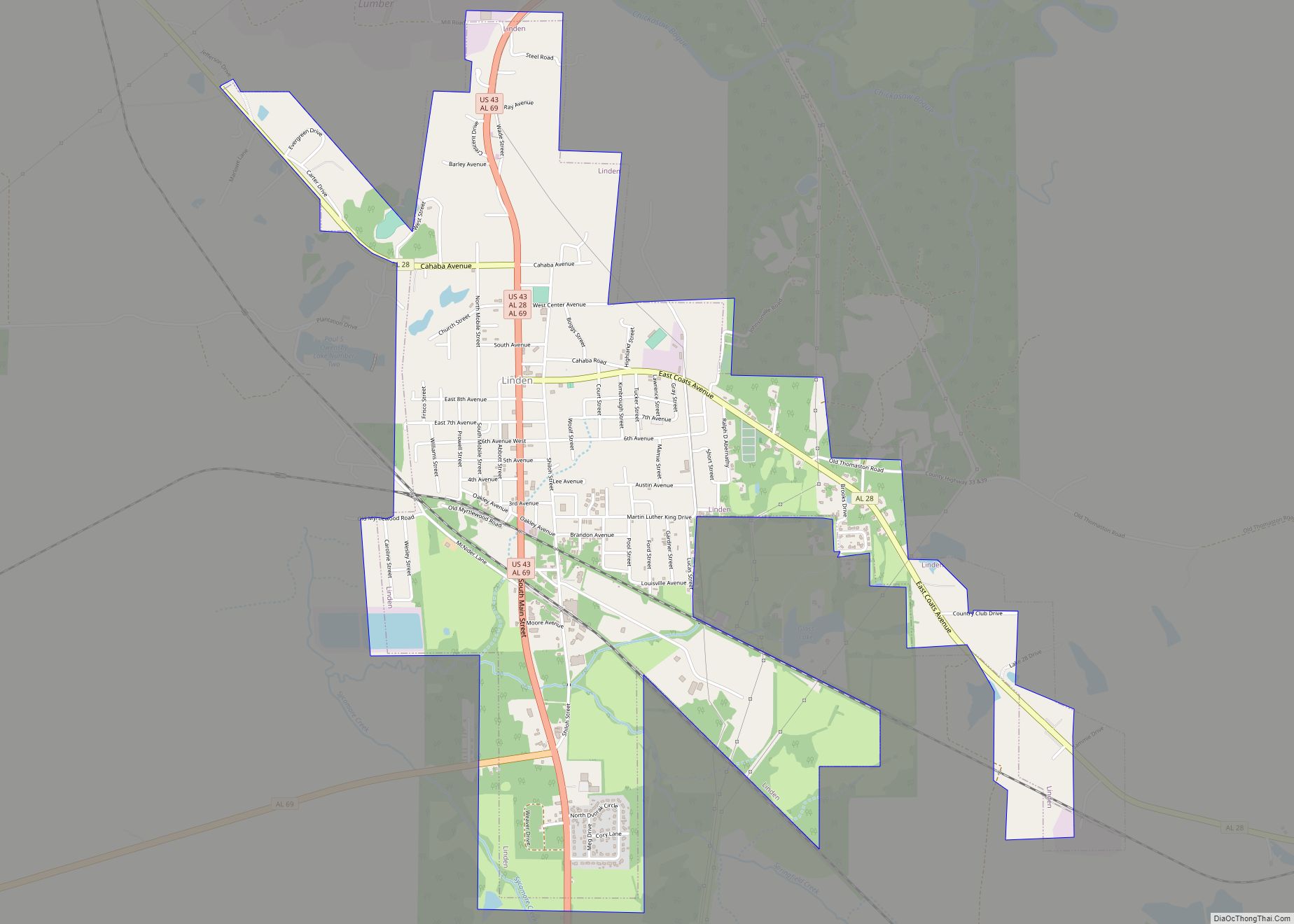
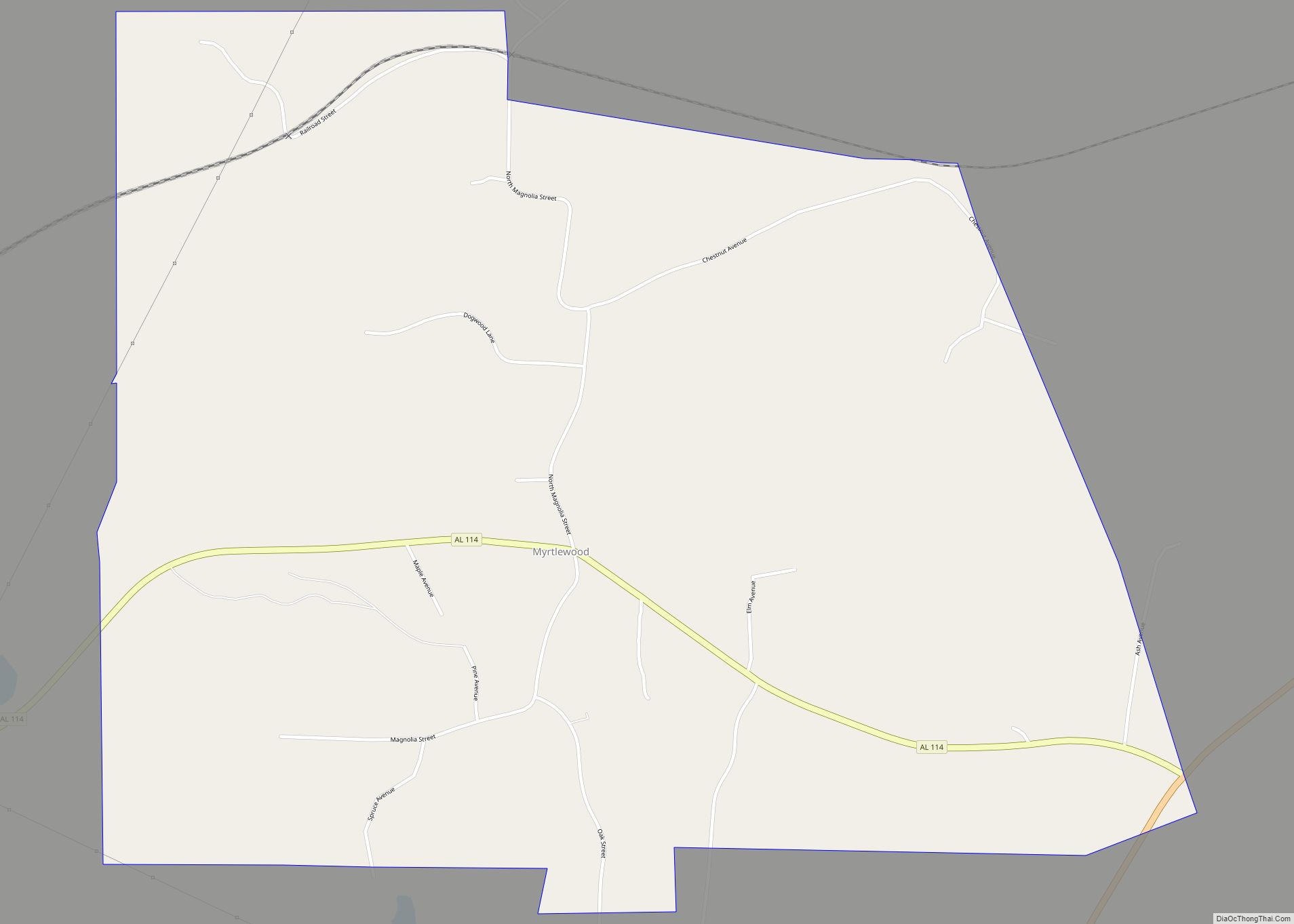
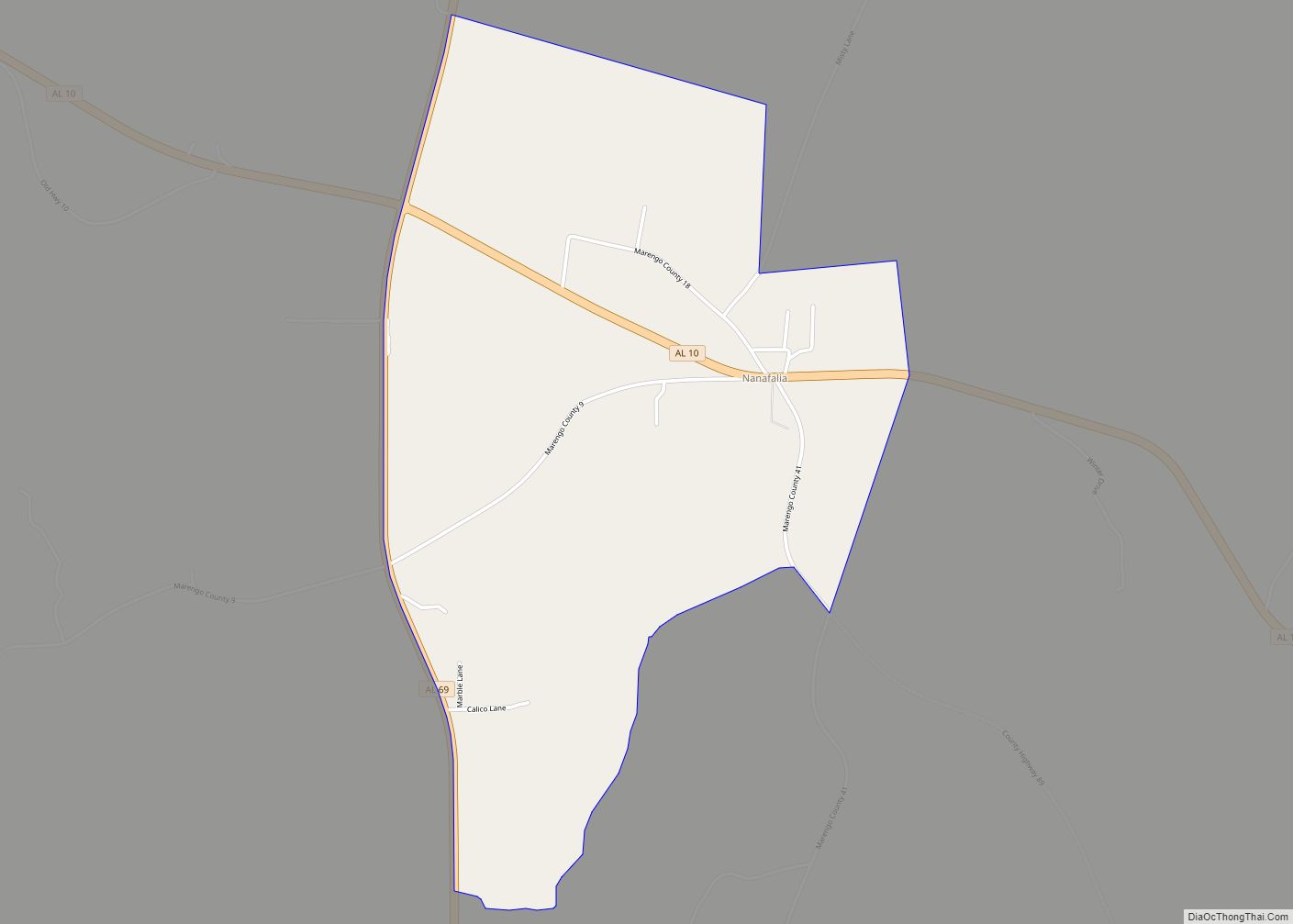
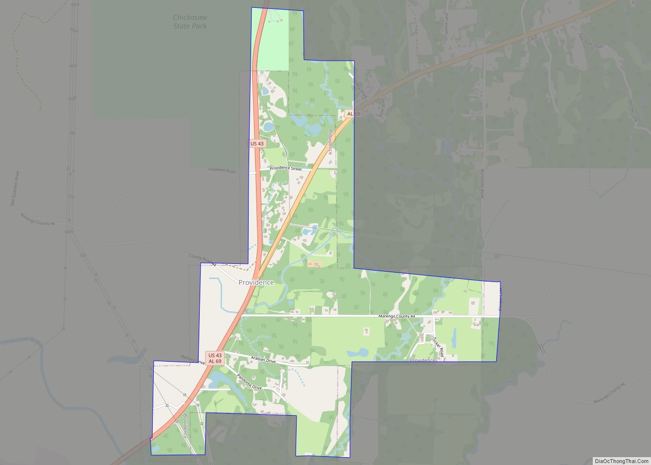
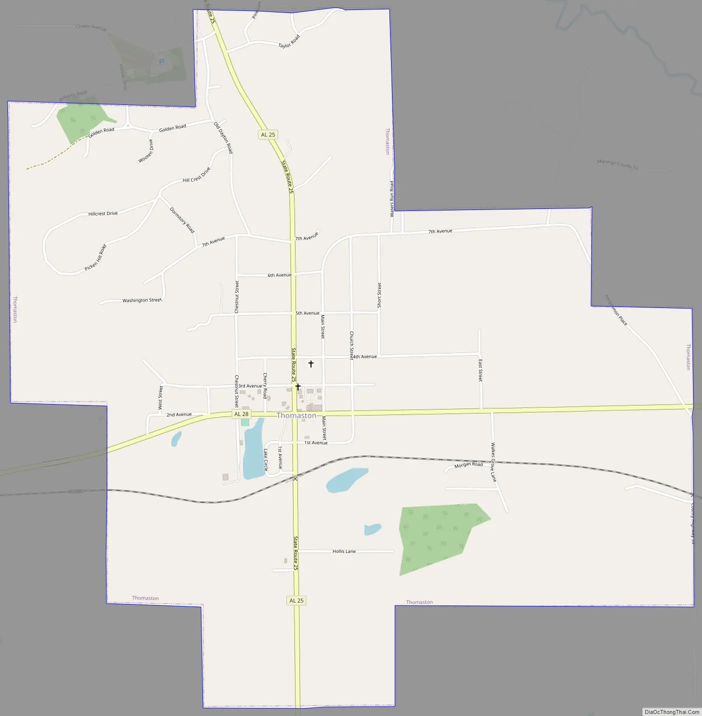
Thomaston Road Map
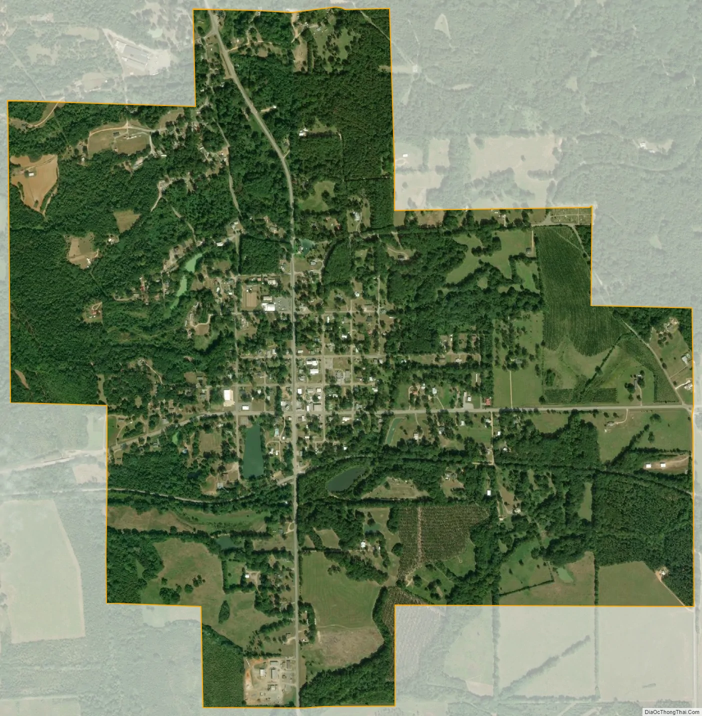
Thomaston city Satellite Map
Geography
Thomaston is located in eastern Marengo County at 32°16′10″N 87°37′30″W / 32.269495°N 87.624865°W / 32.269495; -87.624865. Alabama State Route 28 (Second Avenue) passes through the town, leading west 11 miles (18 km) to Linden, the county seat, and southeast 30 miles (48 km) to Camden. State Route 25 (Range Street) crosses SR 28 in the center of town and leads north 32 miles (51 km) to Greensboro and south 29 miles (47 km) to Thomasville.
According to the U.S. Census Bureau, Thomaston has a total area of 2.0 square miles (5.2 km), all land. The town drains west to Michigan Creek, which flows north to Chickasaw Bogue and is part of the Tombigbee River watershed.
See also
Map of Alabama State and its subdivision:- Autauga
- Baldwin
- Barbour
- Bibb
- Blount
- Bullock
- Butler
- Calhoun
- Chambers
- Cherokee
- Chilton
- Choctaw
- Clarke
- Clay
- Cleburne
- Coffee
- Colbert
- Conecuh
- Coosa
- Covington
- Crenshaw
- Cullman
- Dale
- Dallas
- De Kalb
- Elmore
- Escambia
- Etowah
- Fayette
- Franklin
- Geneva
- Greene
- Hale
- Henry
- Houston
- Jackson
- Jefferson
- Lamar
- Lauderdale
- Lawrence
- Lee
- Limestone
- Lowndes
- Macon
- Madison
- Marengo
- Marion
- Marshall
- Mobile
- Monroe
- Montgomery
- Morgan
- Perry
- Pickens
- Pike
- Randolph
- Russell
- Saint Clair
- Shelby
- Sumter
- Talladega
- Tallapoosa
- Tuscaloosa
- Walker
- Washington
- Wilcox
- Winston
- Alabama
- Alaska
- Arizona
- Arkansas
- California
- Colorado
- Connecticut
- Delaware
- District of Columbia
- Florida
- Georgia
- Hawaii
- Idaho
- Illinois
- Indiana
- Iowa
- Kansas
- Kentucky
- Louisiana
- Maine
- Maryland
- Massachusetts
- Michigan
- Minnesota
- Mississippi
- Missouri
- Montana
- Nebraska
- Nevada
- New Hampshire
- New Jersey
- New Mexico
- New York
- North Carolina
- North Dakota
- Ohio
- Oklahoma
- Oregon
- Pennsylvania
- Rhode Island
- South Carolina
- South Dakota
- Tennessee
- Texas
- Utah
- Vermont
- Virginia
- Washington
- West Virginia
- Wisconsin
- Wyoming