Map of Tillmans Corner CDP

Map of Tillmans Corner CDP

Tillman’s Corner is an unincorporated community and census-designated place (CDP) in Mobile County, Alabama, United States. At the 2020 census, the population was 17,731. It is a part of the Mobile metropolitan area. Tillmans Corner CDP overview: Name: Tillmans Corner CDP LSAD Code: 57 LSAD Description: CDP (suffix) State: Alabama County: Mobile County Elevation: 82 ft … Read more

Map of Tidmore Bend CDP

Map of Tidmore Bend CDP

Tidmore Bend is a census-designated place in Etowah County, Alabama, United States. Its population was 1,245 as of the 2010 census. Tidmore Bend CDP overview: Name: Tidmore Bend CDP LSAD Code: 57 LSAD Description: CDP (suffix) State: Alabama County: Etowah County Elevation: 581 ft (177 m) Total Area: 9.73 sq mi (25.21 km²) Land Area: 9.62 sq mi (24.90 km²) Water Area: 0.12 sq mi … Read more

Map of Town Creek town

Map of Town Creek town

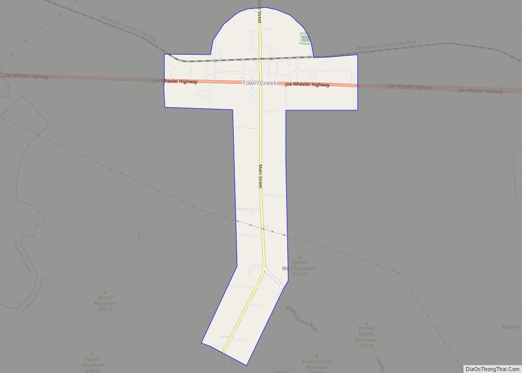
Town Creek is a town in Lawrence County, Alabama, United States, and is included in the Decatur Metropolitan Area, as well as the Huntsville-Decatur Combined Statistical Area. It incorporated in March 1875. As of the 2010 census, the population of the town is 1100, down from 1216 in 2000. Since 1920, it has been the … Read more

Map of Triana town

Map of Triana town

Triana (/traɪˈænə/) is a town in Madison County, Alabama, United States, and is included in the Huntsville-Decatur Combined Statistical Area. As of the 2020 census, the population of the town was 2,890, up from 496 at the 2010 census. Triana town overview: Name: Triana town LSAD Code: 43 LSAD Description: town (suffix) State: Alabama County: … Read more

Map of Trafford town

Map of Trafford town, Alabama

Trafford is a town in Jefferson County, Alabama, United States. A small portion extends into Blount County. The town was incorporated in 1948. At the 2020 census, the population was 613. Trafford town overview: Name: Trafford town LSAD Code: 43 LSAD Description: town (suffix) State: Alabama County: Blount County, Jefferson County Elevation: 489 ft (149 m) Total … Read more

Map of Toxey town

Map of Toxey town

Toxey is a town in Choctaw County, Alabama, United States. At the 2020 census, the population was 145. Toxey town overview: Name: Toxey town LSAD Code: 43 LSAD Description: town (suffix) State: Alabama County: Choctaw County Elevation: 105 ft (32 m) Total Area: 0.68 sq mi (1.77 km²) Land Area: 0.68 sq mi (1.77 km²) Water Area: 0.00 sq mi (0.00 km²) Total Population: 145 Population … Read more

Map of Trussville city

Map of Trussville city

Trussville is a city in Jefferson and St. Clair counties in the State of Alabama. It is a suburb of Birmingham and part of the Birmingham-Hoover Metropolitan Statistical Area. Its population at the 2020 census was 26,123. Trussville city overview: Name: Trussville city LSAD Code: 25 LSAD Description: city (suffix) State: Alabama County: Jefferson County, … Read more

Map of Troy city

Map of Troy city, Alabama

Troy is a city in and the county seat of Pike County, Alabama, United States. It was formally incorporated on February 4, 1843. Between 1763 and 1783, the area where Troy sits was part of the colony of British West Florida. After 1783, the region fell under the jurisdiction of the newly created United States … Read more

Map of Trinity town

Map of Trinity town, Alabama

Trinity is a town in Morgan County, Alabama, United States. It is included in the Decatur Metropolitan Area and the Huntsville-Decatur Combined Statistical Area. As of the 2020 census, the population of the town was 2,526, up from 2,095 in 2010. It was incorporated in 1901. Trinity town overview: Name: Trinity town LSAD Code: 43 … Read more

Map of Twin town

Map of Twin town

Twin, also known as Yampertown, is a town in Marion County, Alabama, United States. It is about equidistant from Brilliant, Guin and Winfield. It incorporated on August 6, 2002, becoming the 10th incorporated community in Marion County. It had a population of 359 as of the 2020 census. Twin town overview: Name: Twin town LSAD … Read more

Map of Tuskegee city

Map of Tuskegee city

Tuskegee (/tʌsˈkiːɡiː/) is a city in Macon County, Alabama, United States. General Thomas Simpson Woodward, a Creek War veteran under Andrew Jackson, laid out the city and founded it in 1833. It became the county seat in the same year and it was incorporated in 1843. It is the largest city in Macon County. At … Read more

Map of Tuscumbia city

Map of Tuscumbia city, Alabama

Tuscumbia is a city in and the county seat of Colbert County, Alabama, United States. As of the 2010 census, the population was 8,423. The city is part of The Shoals metropolitan area. Tuscumbia was the hometown of Helen Keller, who lived at Ivy Green. Several sites in the city are listed on the National … Read more