Trussville is a city in Jefferson and St. Clair counties in the State of Alabama. It is a suburb of Birmingham and part of the Birmingham-Hoover Metropolitan Statistical Area. Its population at the 2020 census was 26,123.
| Name: | Trussville city |
|---|---|
| LSAD Code: | 25 |
| LSAD Description: | city (suffix) |
| State: | Alabama |
| County: | Jefferson County, St. Clair County |
| Incorporated: | 1947 |
| Elevation: | 709 ft (216 m) |
| Land Area: | 34.67 sq mi (89.80 km²) |
| Water Area: | 0.51 sq mi (1.32 km²) |
| Population Density: | 753.43/sq mi (290.90/km²) |
| ZIP code: | 35173 |
| Area code: | 205 & 659 |
| FIPS code: | 0176944 |
| GNISfeature ID: | 2405608 |
| Website: | http://www.trussville.org/ |
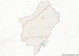
Online Interactive Map
Click on ![]() to view map in "full screen" mode.
to view map in "full screen" mode.
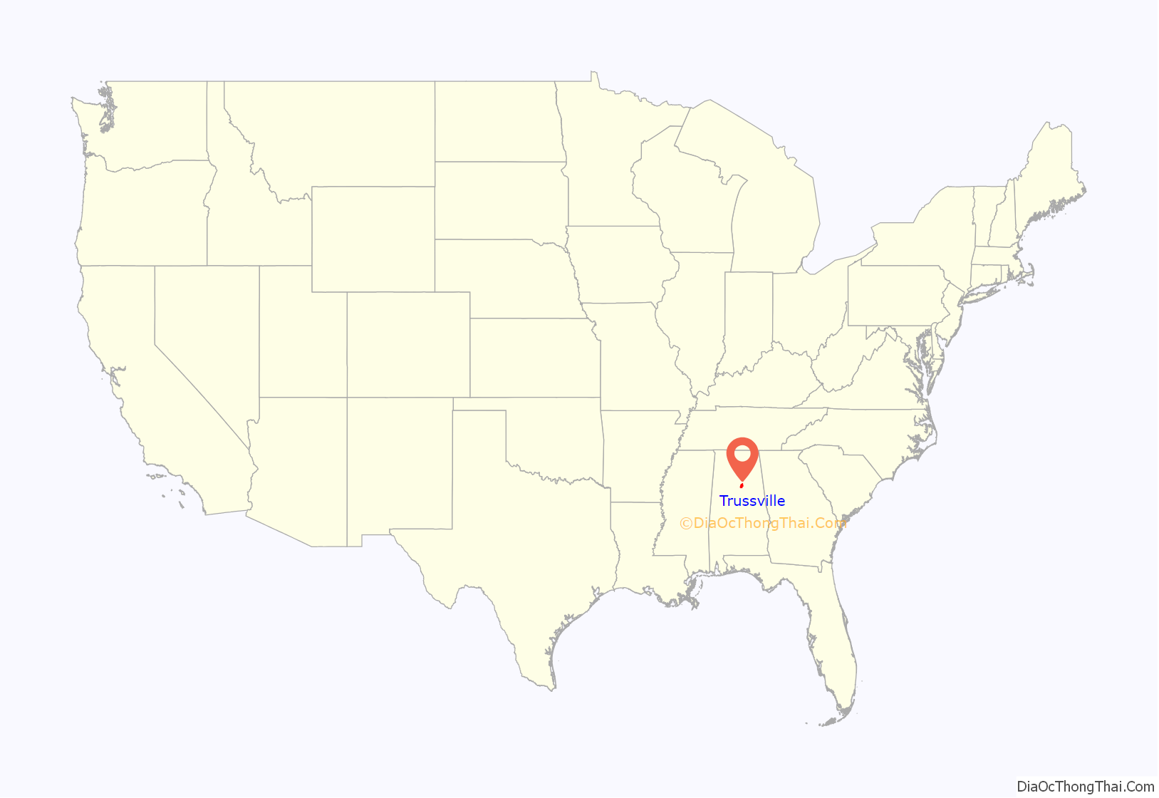
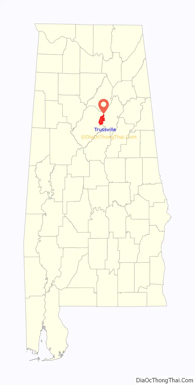
Trussville location map. Where is Trussville city?
History
Early settlement
The first European settler to establish residence in the area was Warren Truss, who entered the area with his brothers and constructed a grist mill on the Cahaba River in 1821. Truss was a North Carolina man of English descent. Trussville remained an agricultural community until after the Civil War, when the Alabama-Chattanooga Railway was built through the city. By 1886 a blast furnace was built on what is now the site of the new Cahaba Elementary School. Trussville was listed as an incorporated community on the 1890 and 1900 U.S. Census rolls. At some point after 1900 until its reincorporation in 1947, it did not appear on census records.
Cahaba Project
Much of Trussville’s growth and development came from the Cahaba Project, a planned development of over 250 homes constructed by Franklin D. Roosevelt’s Government Resettlement Administration during the 1930s. The Cahaba Project was originally planned by staff at the Alabama Polytechnic Institute to be a rural community of small farmsteads raising potatoes and vegetables. By the middle of the decade it was decided to locate the community close enough to Birmingham to commute by public transit, so the site in Trussville was chosen. About 60 existing houses were demolished, with white residents moved to the Roper Hill community and cottages for African-Americans built on a 40-acre tract northwest of the Cahaba Project called “Washington Heights” or, more commonly, “The Forties”.
Local landscape architect W. H. Kestler designed a relatively dense suburban layout with 400 houses on 1/2 to 3/4 acre lots encircling a central green space called “The Mall”. The design was approved in 1936 and constructed over the following two years. In all, 243 single-family houses and 44 duplexes were constructed at a total cost of $2,661,981.26. They were rented to approved lower-middle-income families for $14-$23 per month. The village featured paved streets, sidewalks and landscaped park areas. An entrance gateway with a covered gazebo was built at the corner of Main Street and Parkway Drive to serve as the community’s “front door”.
Most of the one- and two-level homes were constructed in the American four-square style with brick and wood siding, pine floors and metal roofs. Each house had electricity, hot-and-cold running water, and a sewer connection. Two oak saplings were given to each household to beautify their yards. During World War II many families planted Victory Gardens to supplement their grocery rations.
Oak furnishings and appliances were also available to renters at a nominal cost from the government. A back porch was supplied with a hose for a wringer-type washer. A communal washer was also available in a separate building on the mall. Other community facilities included a swimming pool, an elementary school and a high school, all built near the mall. A co-op store was erected near the high school, serving as a general store and lending library. Several churches were founded, including the Holy Infant of Prague Catholic Church.
The Cahaba Association, the Village residents’ organization, elected community leaders, raised funds for civic projects, and published the Cahaba Hub newspaper. Many residents participated in an amateur softball league which made use of a lighted field on the mall. Resentment over the privileges given to residents of the government-funded Cahaba Project resulted in tensions between them and the “Old Trussville” families, many of whom lacked electricity and indoor plumbing. The presence of so many community facilities within the project limited interactions between the project’s residents and their neighbors.
After World War II the government made plans to sell the houses to residents. It also offered undeveloped parcels for sale, giving veterans the first option at 10 percent down. The Cahaba Project was added to the National Register of Historic Places in 2002.
Incorporation and growth
On June 10, 1947, Trussville was incorporated as a town, and on May 31, 1957, the town officially became a city. It was on this date the City of Trussville was adopted as the official name.
Today Trussville is one of the Birmingham region’s most rapidly growing areas. In the 30-year period between 1980 and 2010, the city grew by over 500%. It has seen much residential and retail construction, with two major shopping centers built during the early 2000s: the Colonial Promenade at Trussville on its western side and both the Colonial Promenade Tutwiler Farm and Pinnacle at Tutwiler Farm along Highway 11 at the I-59/I-459 interchange.
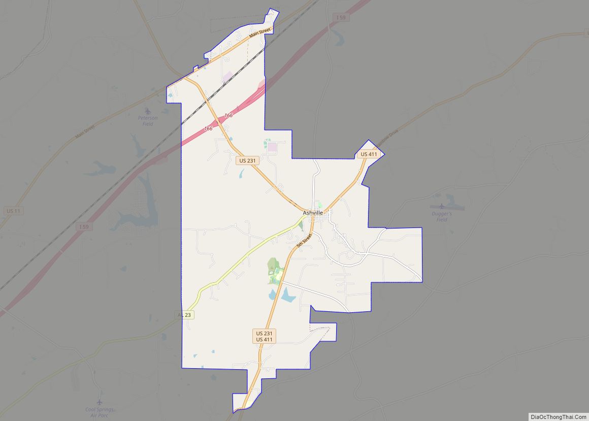
Trussville Road Map

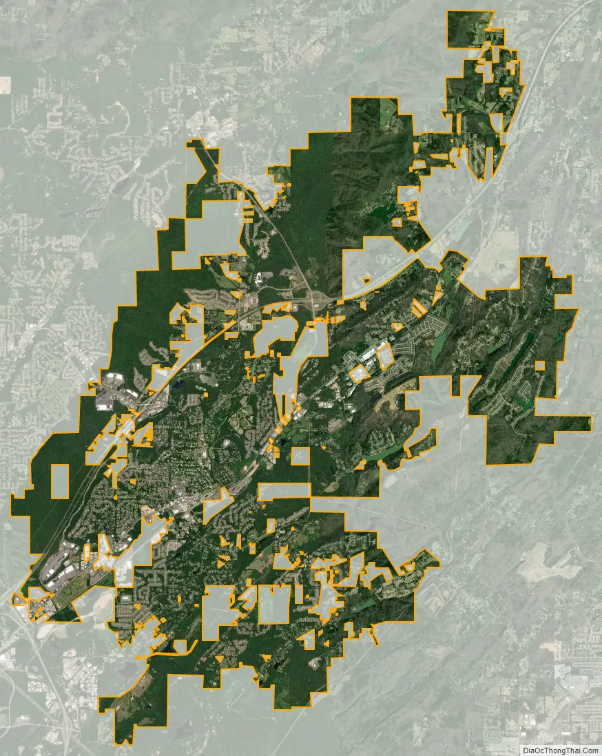
Trussville city Satellite Map
Geography
Trussville is located at 33°37′18″N 86°35′47″W / 33.62167°N 86.59639°W / 33.62167; -86.59639 (33.621623, -86.596404).
According to the United States Census Bureau, the city has a total area of 22.3 square miles (58 km), of which 22.2 square miles (57 km) is land and 0.1 square miles (0.26 km) (0.27%) is water.
See also
Map of Alabama State and its subdivision:- Autauga
- Baldwin
- Barbour
- Bibb
- Blount
- Bullock
- Butler
- Calhoun
- Chambers
- Cherokee
- Chilton
- Choctaw
- Clarke
- Clay
- Cleburne
- Coffee
- Colbert
- Conecuh
- Coosa
- Covington
- Crenshaw
- Cullman
- Dale
- Dallas
- De Kalb
- Elmore
- Escambia
- Etowah
- Fayette
- Franklin
- Geneva
- Greene
- Hale
- Henry
- Houston
- Jackson
- Jefferson
- Lamar
- Lauderdale
- Lawrence
- Lee
- Limestone
- Lowndes
- Macon
- Madison
- Marengo
- Marion
- Marshall
- Mobile
- Monroe
- Montgomery
- Morgan
- Perry
- Pickens
- Pike
- Randolph
- Russell
- Saint Clair
- Shelby
- Sumter
- Talladega
- Tallapoosa
- Tuscaloosa
- Walker
- Washington
- Wilcox
- Winston
- Alabama
- Alaska
- Arizona
- Arkansas
- California
- Colorado
- Connecticut
- Delaware
- District of Columbia
- Florida
- Georgia
- Hawaii
- Idaho
- Illinois
- Indiana
- Iowa
- Kansas
- Kentucky
- Louisiana
- Maine
- Maryland
- Massachusetts
- Michigan
- Minnesota
- Mississippi
- Missouri
- Montana
- Nebraska
- Nevada
- New Hampshire
- New Jersey
- New Mexico
- New York
- North Carolina
- North Dakota
- Ohio
- Oklahoma
- Oregon
- Pennsylvania
- Rhode Island
- South Carolina
- South Dakota
- Tennessee
- Texas
- Utah
- Vermont
- Virginia
- Washington
- West Virginia
- Wisconsin
- Wyoming