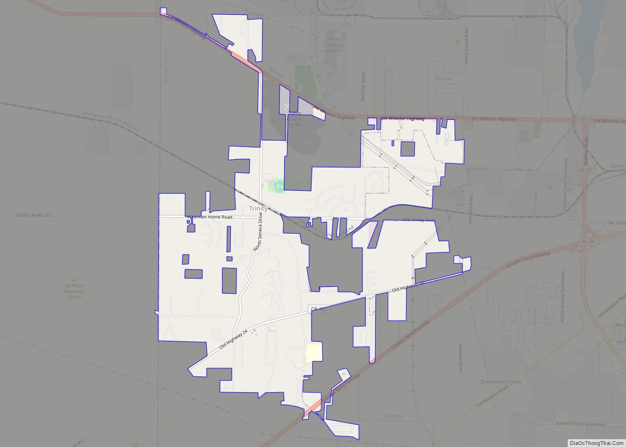
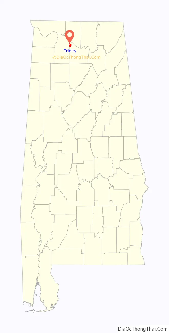
Trinity is a town in Morgan County, Alabama, United States. It is included in the Decatur Metropolitan Area and the Huntsville-Decatur Combined Statistical Area. As of the 2020 census, the population of the town was 2,526, up from 2,095 in 2010. It was incorporated in 1901.
| Name: | Trinity town |
|---|---|
| LSAD Code: | 43 |
| LSAD Description: | town (suffix) |
| State: | Alabama |
| County: | Morgan County |
| Elevation: | 679 ft (207 m) |
| Total Area: | 4.97 sq mi (12.88 km²) |
| Land Area: | 4.97 sq mi (12.86 km²) |
| Water Area: | 0.01 sq mi (0.02 km²) |
| Total Population: | 2,526 |
| Population Density: | 508.66/sq mi (196.40/km²) |
| ZIP code: | 35673 |
| Area code: | 256 |
| FIPS code: | 0176872 |
| GNISfeature ID: | 2406755 |
| Website: | www.trinityal.gov |
Online Interactive Map
Click on ![]() to view map in "full screen" mode.
to view map in "full screen" mode.
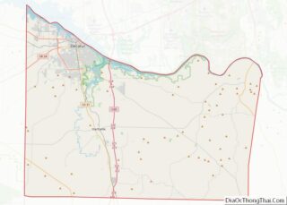
Trinity location map. Where is Trinity town?

History
Trinity was developed in the 1810s as area plantation owners built houses atop Trinity Mountain to escape the mosquito-infested lowlands. A post office operated at Trinity from 1848 to 1853. The post office reopened under the name “Trinity Station” in 1866. The town incorporated in 1901, and changed its name to simply “Trinity” two years later.
Trinity Road Map
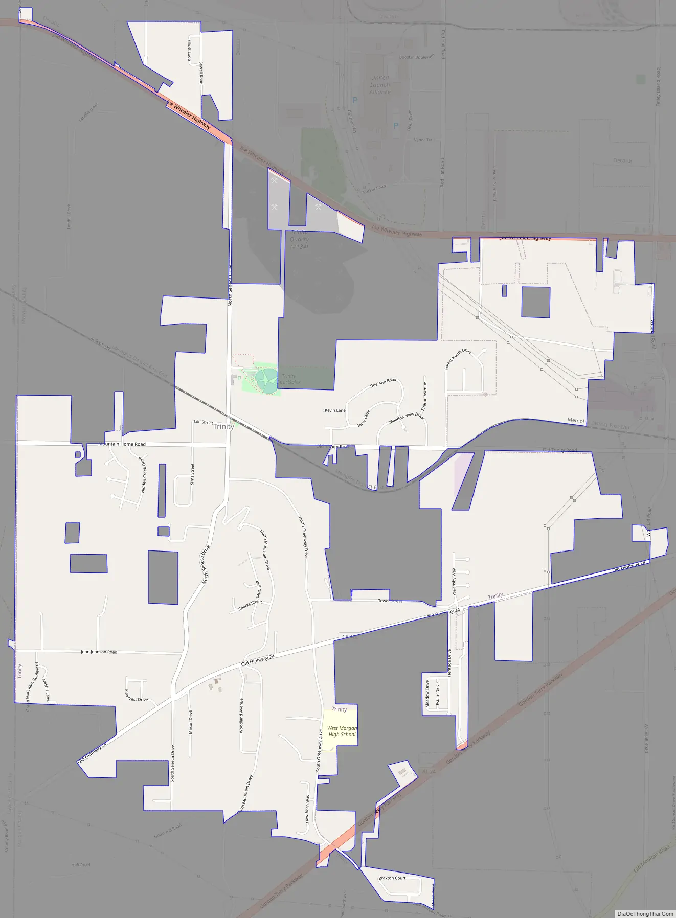
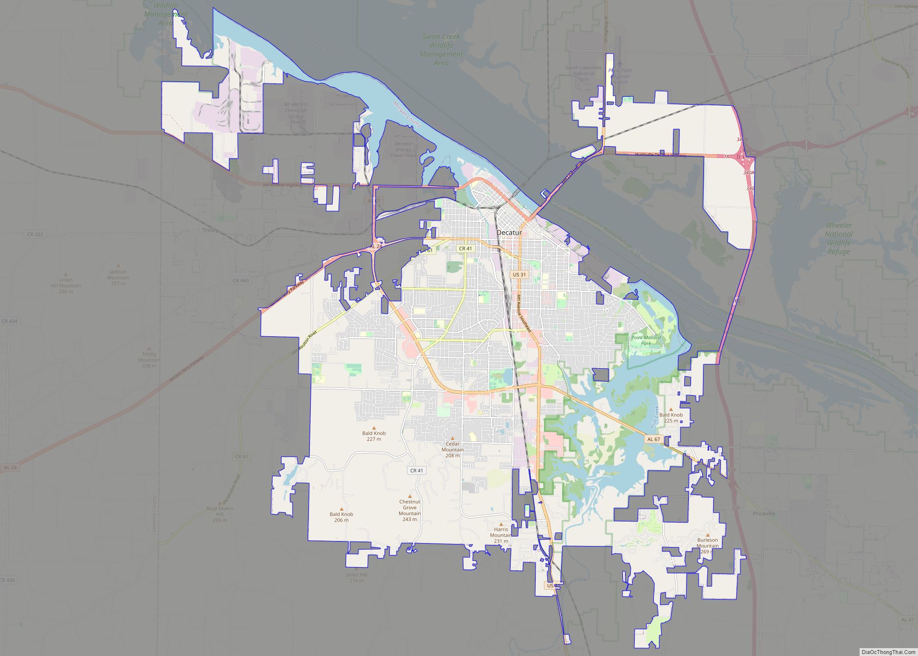
Trinity city Satellite Map

Geography
Trinity is located in northwestern Morgan County across a scattered area mostly between U.S. Route 72 on the north and State Route 24 to the south (though the town’s municipal boundaries extend slightly beyond each road). Decatur lies just to the east, and Wheeler Lake (part of the Tennessee River) lies to the north. The southern parts of the town are located atop Trinity Mountain, a broad ridge that rises several hundred feet above the surrounding terrain. The town is bordered to the west by Lawrence County.
According to the U.S. Census Bureau, the town has a total area of 5.0 square miles (13 km), of which 0.008 square miles (0.021 km), or 0.16%, are water.
See also
Map of Alabama State and its subdivision:- Autauga
- Baldwin
- Barbour
- Bibb
- Blount
- Bullock
- Butler
- Calhoun
- Chambers
- Cherokee
- Chilton
- Choctaw
- Clarke
- Clay
- Cleburne
- Coffee
- Colbert
- Conecuh
- Coosa
- Covington
- Crenshaw
- Cullman
- Dale
- Dallas
- De Kalb
- Elmore
- Escambia
- Etowah
- Fayette
- Franklin
- Geneva
- Greene
- Hale
- Henry
- Houston
- Jackson
- Jefferson
- Lamar
- Lauderdale
- Lawrence
- Lee
- Limestone
- Lowndes
- Macon
- Madison
- Marengo
- Marion
- Marshall
- Mobile
- Monroe
- Montgomery
- Morgan
- Perry
- Pickens
- Pike
- Randolph
- Russell
- Saint Clair
- Shelby
- Sumter
- Talladega
- Tallapoosa
- Tuscaloosa
- Walker
- Washington
- Wilcox
- Winston
- Alabama
- Alaska
- Arizona
- Arkansas
- California
- Colorado
- Connecticut
- Delaware
- District of Columbia
- Florida
- Georgia
- Hawaii
- Idaho
- Illinois
- Indiana
- Iowa
- Kansas
- Kentucky
- Louisiana
- Maine
- Maryland
- Massachusetts
- Michigan
- Minnesota
- Mississippi
- Missouri
- Montana
- Nebraska
- Nevada
- New Hampshire
- New Jersey
- New Mexico
- New York
- North Carolina
- North Dakota
- Ohio
- Oklahoma
- Oregon
- Pennsylvania
- Rhode Island
- South Carolina
- South Dakota
- Tennessee
- Texas
- Utah
- Vermont
- Virginia
- Washington
- West Virginia
- Wisconsin
- Wyoming