Map of Union Springs city

Map of Union Springs city, Alabama

Union Springs is a city in and county seat of Bullock County, Alabama, United States. The population was 3,980 at the 2010 census. Union Springs city overview: Name: Union Springs city LSAD Code: 25 LSAD Description: city (suffix) State: Alabama County: Bullock County Incorporated: 1844 Elevation: 522 ft (159 m) Total Area: 6.69 sq mi (17.33 km²) Land Area: 6.63 sq mi … Read more

Map of Union Grove town

Map of Union Grove town, Alabama

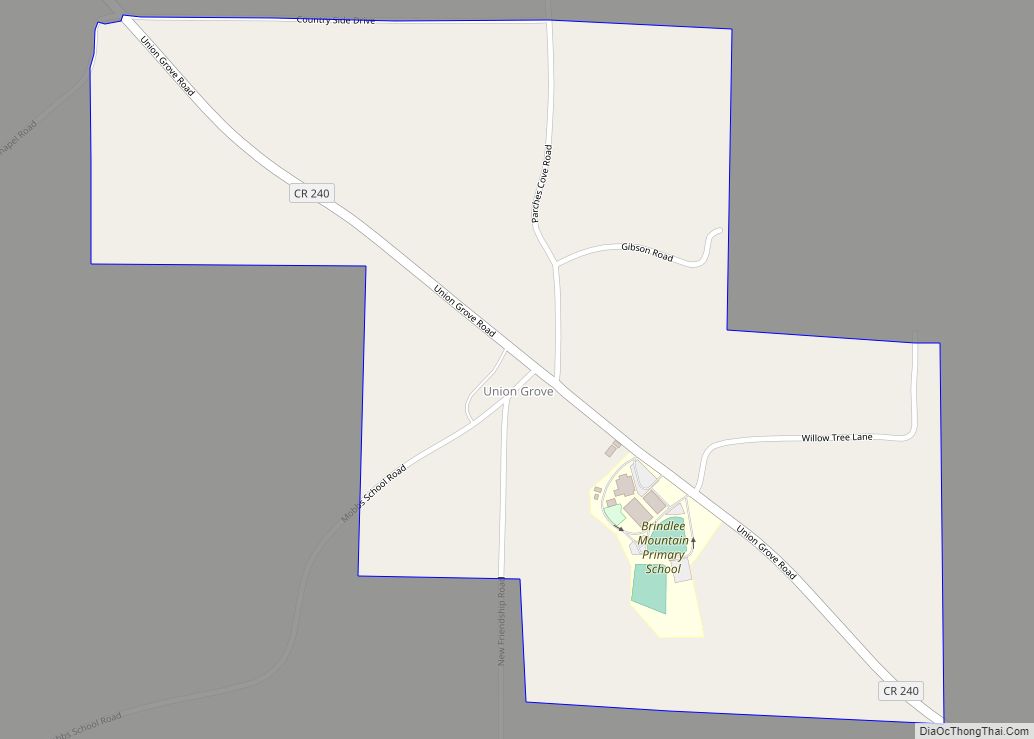
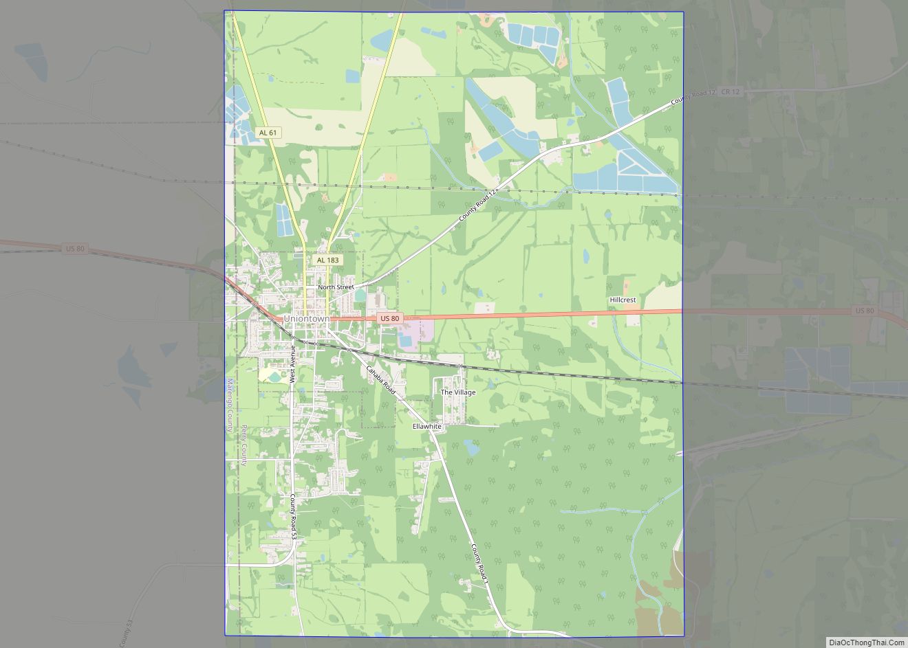
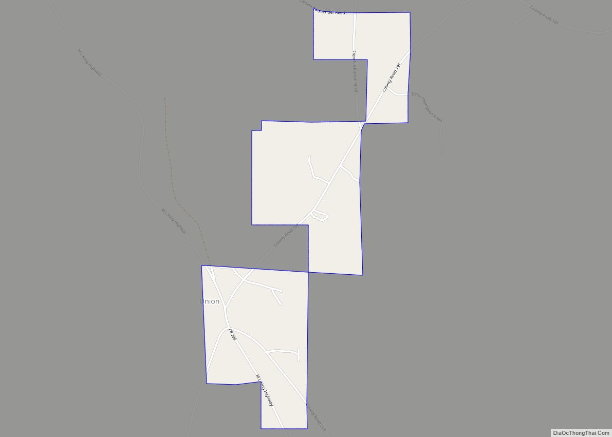
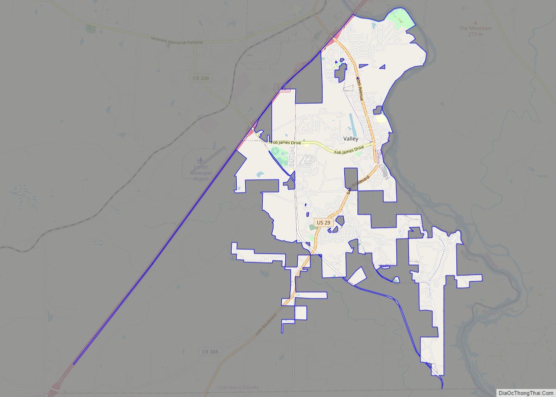
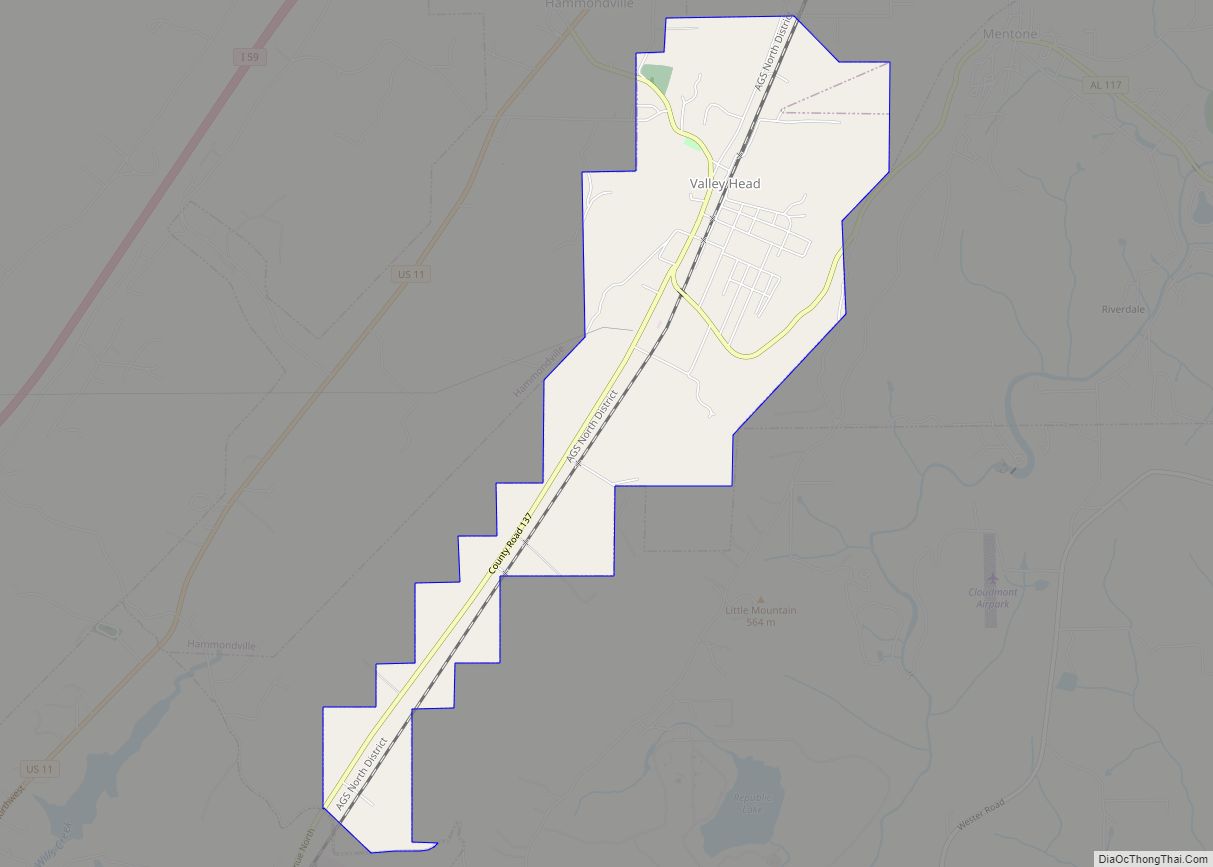
Union Grove is a town in Marshall County, Alabama, United States, and is included in the Huntsville-Decatur Combined Statistical Area. As of the 2020 census, the population of the town was 67, down from 77 at the 2010 census. In the Civil War the Union troops camped there for some time after passing through Parches … Read more

Map of Underwood-Petersville CDP

Map of Underwood-Petersville CDP

Underwood-Petersville is a census-designated place (CDP) in Lauderdale County, Alabama United States. It is part of the Florence – Muscle Shoals Metropolitan Statistical Area known as “The Shoals”. As of the 2010 census, the population of the CDP is 3,247. Underwood-Petersville CDP overview: Name: Underwood-Petersville CDP LSAD Code: 57 LSAD Description: CDP (suffix) State: Alabama … Read more

Map of Uriah CDP

Map of Uriah CDP

Uriah (pronounced, in the local English dialect, “you-rye”) is a census-designated place and unincorporated community in Monroe County, Alabama. Uriah is located at the junction of State Route 21 and State Route 59. As of the 2020 census, its population was 263, down from 294 at the 2010 census. Uriah CDP overview: Name: Uriah CDP … Read more

Map of Uniontown town

Map of Uniontown town, Alabama

Uniontown is a city in Perry County, Alabama, in west-central Alabama. As of the 2020 census, the population of the city is 2,107, up 18.7% over 2010. Of the 573 cities in Alabama, Uniontown is the 207th most populous. Uniontown has four sites listed on the National Register of Historic Places: Fairhope Plantation, Pitts’ Folly, … Read more

Map of Union town

Map of Union town, Alabama

Union is a town in rural Greene County, Alabama, United States. Per the 2020 census, the population was 180. According to the 1980 U.S. Census, it was incorporated in the 1970s. Union town overview: Name: Union town LSAD Code: 43 LSAD Description: town (suffix) State: Alabama County: Greene County Elevation: 305 ft (93 m) Total Area: 0.82 sq mi … Read more

Map of Valley city

Map of Valley city, Alabama

Valley is a city in Chambers County, Alabama, United States. Valley was incorporated in 1980 combining the four textile mill villages of Fairfax, Langdale, River View, and Shawmut. As of the 2010 census it had a population of 9,524. The city lies on the western bank of the Chattahoochee River, the state border between Alabama … Read more

Map of Valley Head town

Map of Valley Head town, Alabama

Valley Head is a town in DeKalb County, Alabama, United States. Although the town incorporated in 1921, it was also listed as being incorporated on the 1890 U.S. Census. At the 2020 census, the population was 577. Valley Head town overview: Name: Valley Head town LSAD Code: 43 LSAD Description: town (suffix) State: Alabama County: … Read more

Map of Valley Grande city

Map of Valley Grande city

Valley Grande is a city in Dallas County, Alabama, United States, just north of Selma. Incorporated in early 2003, Valley Grande has a mayor-council form of government. The city’s population was 4,020 at the time of the 2010 census. Valley Grande city overview: Name: Valley Grande city LSAD Code: 25 LSAD Description: city (suffix) State: … Read more

Map of Vernon city

Map of Vernon city, Alabama

Vernon is a city in Lamar County, Alabama, United States. The city is the county seat of Lamar County, and previously served as the seat of its two predecessors, Jones County (not to be confused with Covington County), which briefly existed in 1867, and for Sanford County from 1868 until it was renamed Lamar in … Read more

Map of Vandiver CDP

Map of Vandiver CDP, Alabama

Vandiver is a census-designated place (CDP) and unincorporated community in Shelby County, Alabama, United States. Its population was 1168 as of the 2010 census. One structure in Vandiver, the Falkner School, is listed on the Alabama Register of Landmarks and Heritage. Vandiver CDP overview: Name: Vandiver CDP LSAD Code: 57 LSAD Description: CDP (suffix) State: … Read more

Map of Vance town

Map of Vance town, Alabama

Vance is a town in Tuscaloosa and Bibb counties in the U.S. state of Alabama. As of the 2010 census it had a population of 1,529. It is most famous for the Mercedes-Benz U.S. International plant, currently the only one in North America. The current mayor of Vance is Brenda Morrison. The Tuscaloosa County portion … Read more