Valley is a city in Chambers County, Alabama, United States. Valley was incorporated in 1980 combining the four textile mill villages of Fairfax, Langdale, River View, and Shawmut. As of the 2010 census it had a population of 9,524. The city lies on the western bank of the Chattahoochee River, the state border between Alabama and Georgia. Valley is a pilot city for the Alabama Communities of Excellence program, a non-profit that partners with governments, businesses, and universities to prepare participating communities for a more vibrant future. It is included in the LaGrange, Georgia Micropolitan Statistical Area, which is included in the Greater Atlanta Combined Statistical Area. On November 27, 2022 Valley Police Department arrested an 82 year old woman for failure to pay a trash bill.
| Name: | Valley city |
|---|---|
| LSAD Code: | 25 |
| LSAD Description: | city (suffix) |
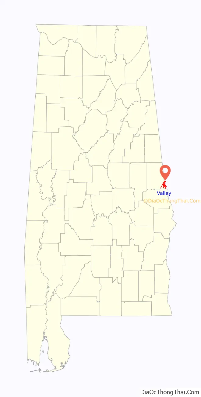
| State: | Alabama |
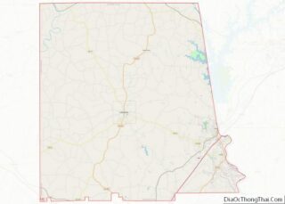
| County: | Chambers County |
| Elevation: | 568 ft (173 m) |
| Total Area: | 12.89 sq mi (33.38 km²) |
| Land Area: | 12.89 sq mi (33.38 km²) |
| Water Area: | 0.00 sq mi (0.00 km²) |
| Total Population: | 10,529 |
| Population Density: | 816.83/sq mi (315.39/km²) |
| ZIP code: | 36854 |
| Area code: | 334 |
| FIPS code: | 0178204 |
| GNISfeature ID: | 0136100 |
| Website: | www.cityofvalley.com |
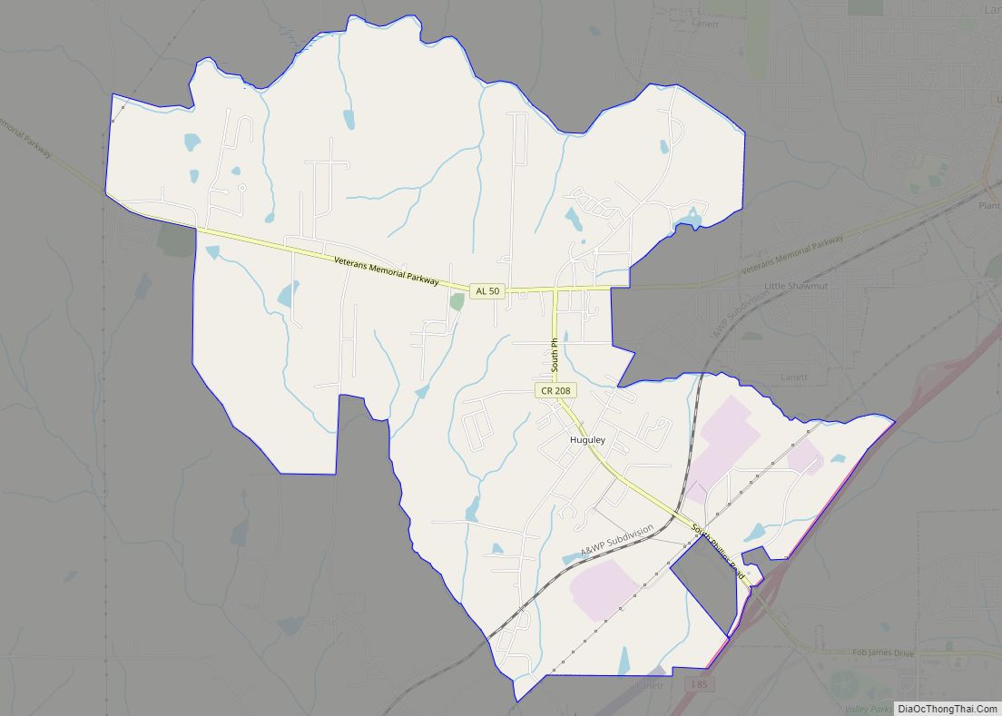
Online Interactive Map
Click on ![]() to view map in "full screen" mode.
to view map in "full screen" mode.
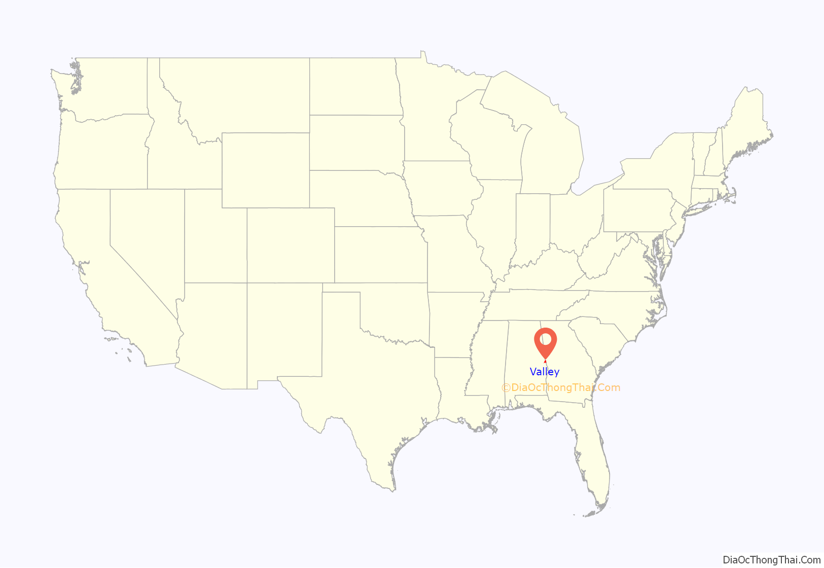
Valley location map. Where is Valley city?
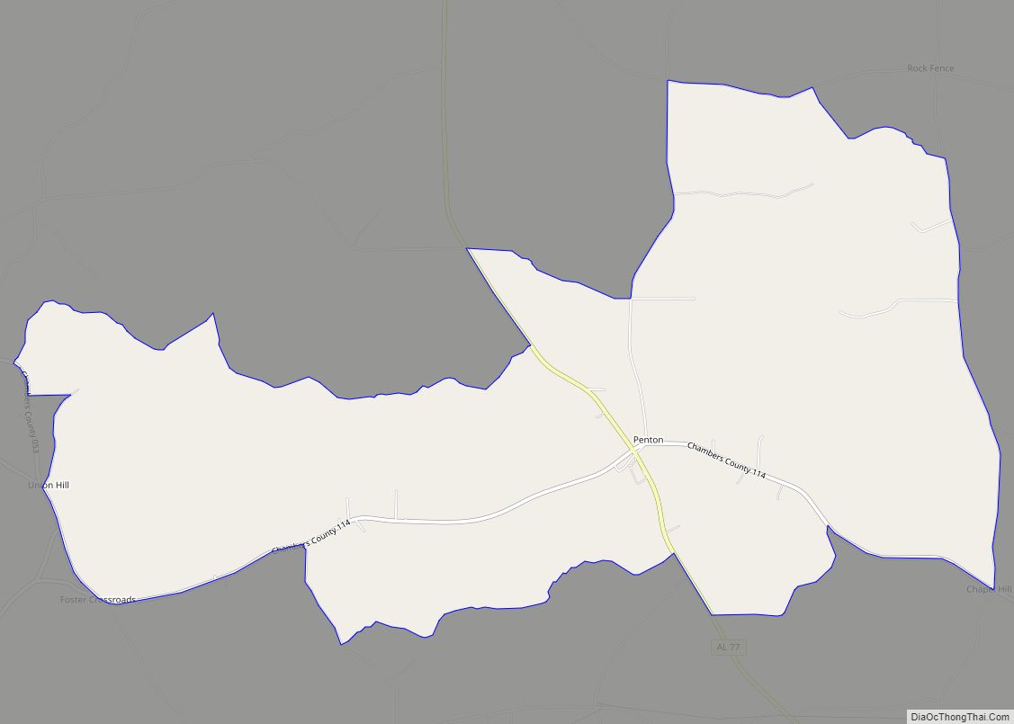
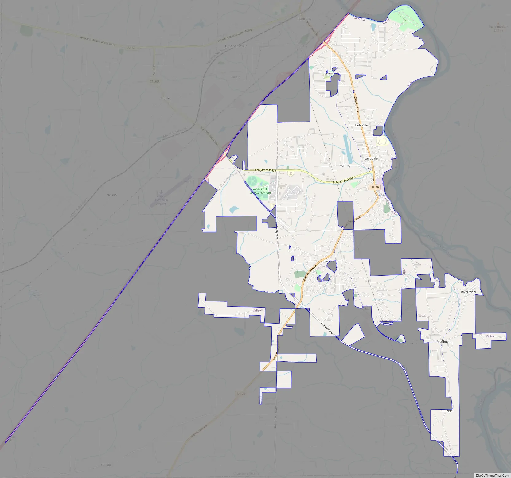
Valley Road Map
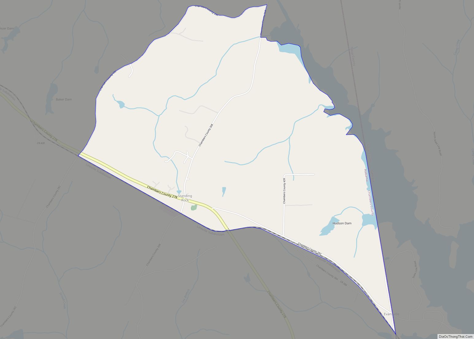
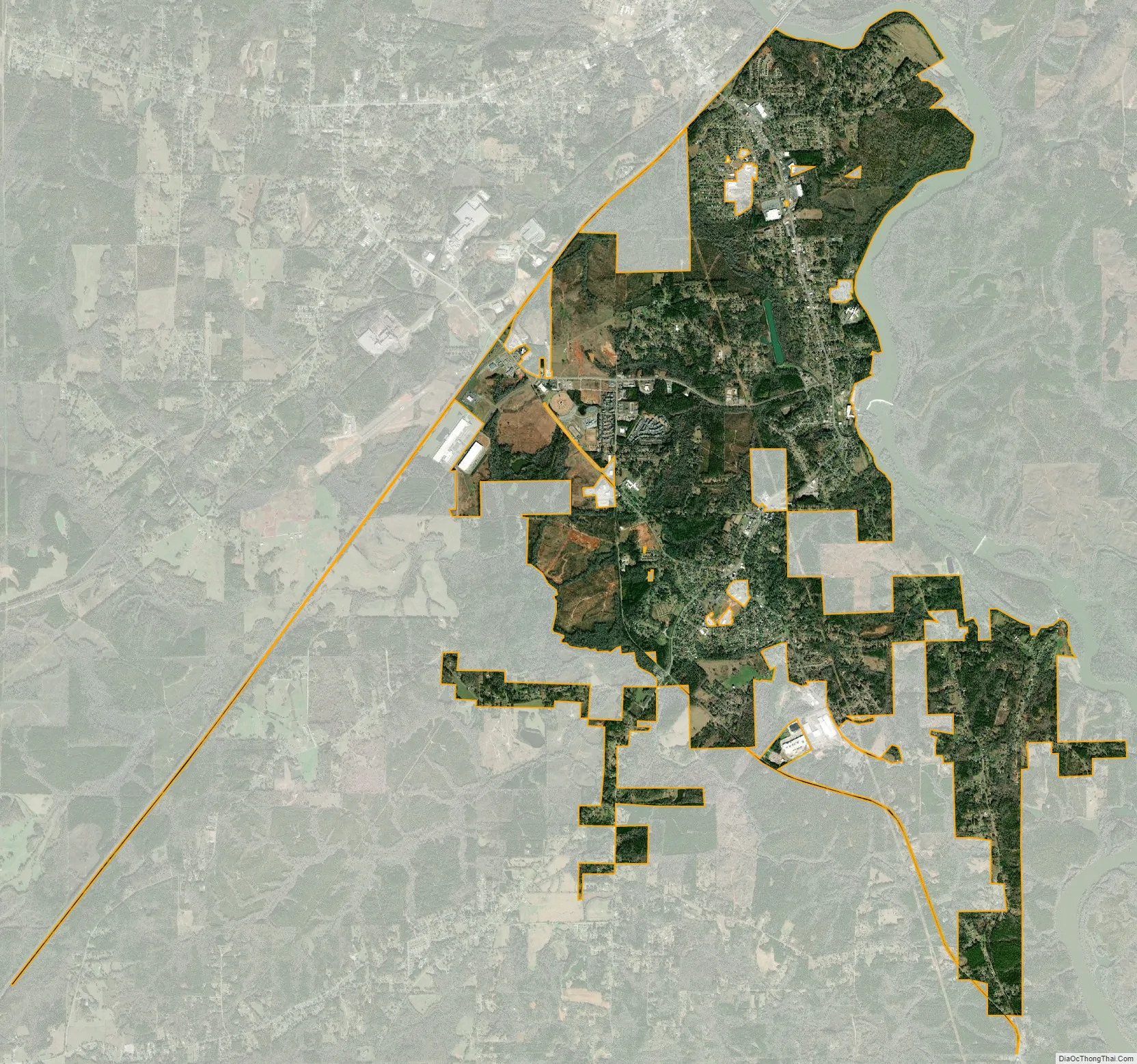
Valley city Satellite Map
Geography
Valley is located in southeastern Chambers County at 32°48’40.993″ North, 85°10’40.577″ West (32.811387, -85.177938). According to the U.S. Census Bureau, the city has a total area of 11.0 square miles (28.6 km), all land.
The city is located on the Alabama-Georgia state line. Interstate 85 runs through its northern city limits, with access from exits 77 and 79. Via I-85, Atlanta is 84 mi (135 km) northeast and Montgomery is 79 mi (127 km) southwest. U.S. Route 29 also runs through the city, connecting the city to Lanett and West Point, Georgia to the north and leading southwest 19 mi (31 km) to Opelika.
Valley has a larger Micropolitan Statistical Area known as the “Greater Valley Area” consisting of the three largest cities of Chambers County: Valley, Lanett, and LaFayette. It also includes the city of West Point, Georgia.
See also
Map of Alabama State and its subdivision:- Autauga
- Baldwin
- Barbour
- Bibb
- Blount
- Bullock
- Butler
- Calhoun
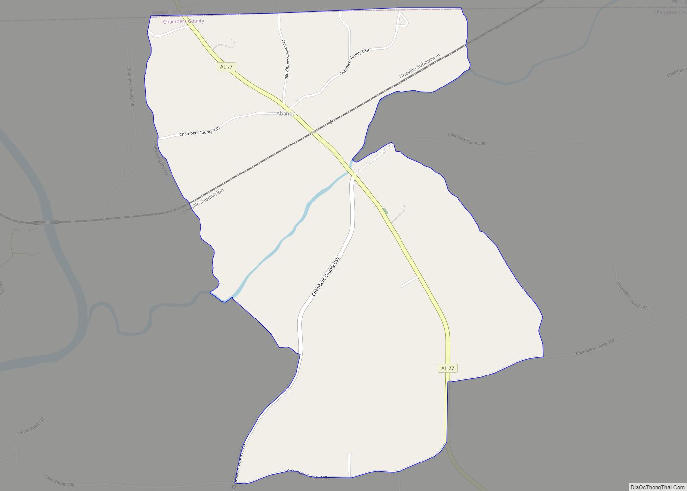
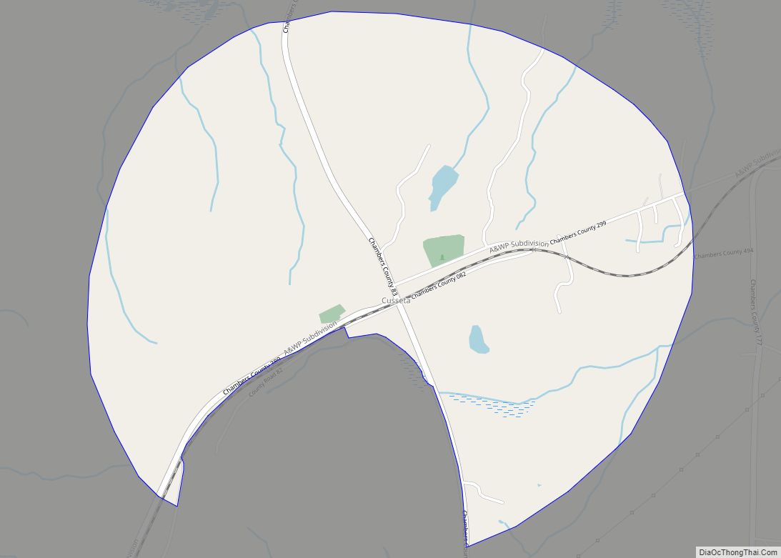
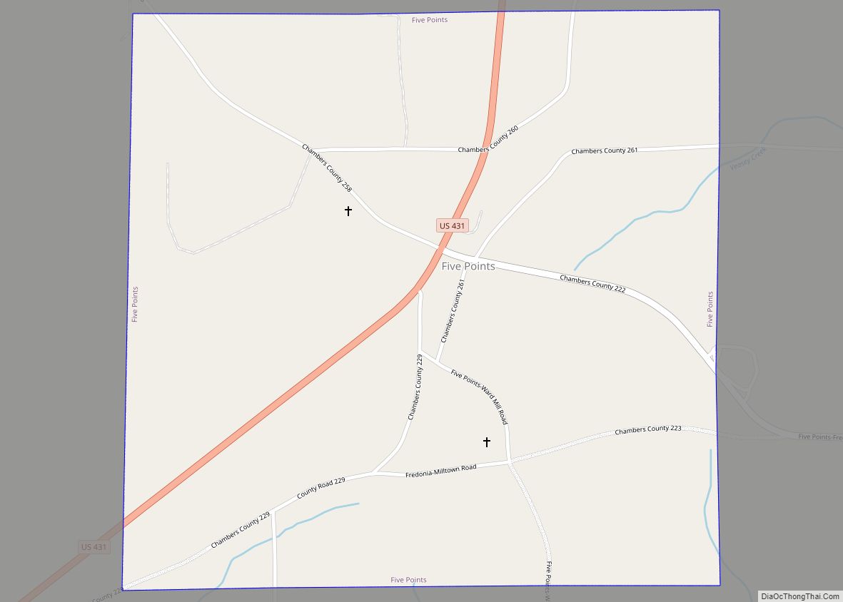
- Chambers
- Cherokee
- Chilton
- Choctaw
- Clarke
- Clay
- Cleburne
- Coffee
- Colbert
- Conecuh
- Coosa
- Covington
- Crenshaw
- Cullman
- Dale
- Dallas
- De Kalb
- Elmore
- Escambia
- Etowah
- Fayette
- Franklin
- Geneva
- Greene
- Hale
- Henry
- Houston
- Jackson
- Jefferson
- Lamar
- Lauderdale
- Lawrence
- Lee
- Limestone
- Lowndes
- Macon
- Madison
- Marengo
- Marion
- Marshall
- Mobile
- Monroe
- Montgomery
- Morgan
- Perry
- Pickens
- Pike
- Randolph
- Russell
- Saint Clair
- Shelby
- Sumter
- Talladega
- Tallapoosa
- Tuscaloosa
- Walker
- Washington
- Wilcox
- Winston
- Alabama
- Alaska
- Arizona
- Arkansas
- California
- Colorado
- Connecticut
- Delaware
- District of Columbia
- Florida
- Georgia
- Hawaii
- Idaho
- Illinois
- Indiana
- Iowa
- Kansas
- Kentucky
- Louisiana
- Maine
- Maryland
- Massachusetts
- Michigan
- Minnesota
- Mississippi
- Missouri
- Montana
- Nebraska
- Nevada
- New Hampshire
- New Jersey
- New Mexico
- New York
- North Carolina
- North Dakota
- Ohio
- Oklahoma
- Oregon
- Pennsylvania
- Rhode Island
- South Carolina
- South Dakota
- Tennessee
- Texas
- Utah
- Vermont
- Virginia
- Washington
- West Virginia
- Wisconsin
- Wyoming