Union Springs is a city in and county seat of Bullock County, Alabama, United States. The population was 3,980 at the 2010 census.
| Name: | Union Springs city |
|---|---|
| LSAD Code: | 25 |
| LSAD Description: | city (suffix) |
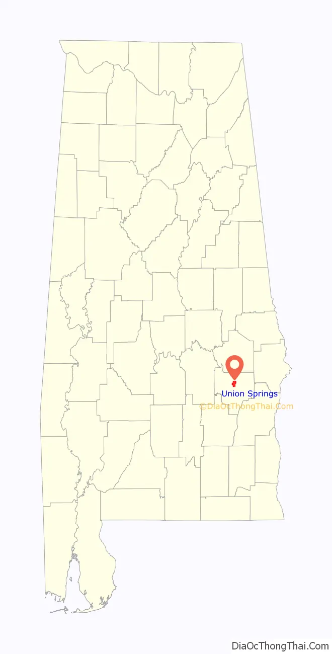
| State: | Alabama |
| County: | Bullock County |
| Incorporated: | 1844 |
| Elevation: | 522 ft (159 m) |
| Total Area: | 6.69 sq mi (17.33 km²) |
| Land Area: | 6.63 sq mi (17.17 km²) |
| Water Area: | 0.06 sq mi (0.15 km²) |
| Total Population: | 3,358 |
| Population Density: | 506.49/sq mi (195.56/km²) |
| ZIP code: | 36089 |
| Area code: | 334 |
| FIPS code: | 0177880 |
| GNISfeature ID: | 0128349 |
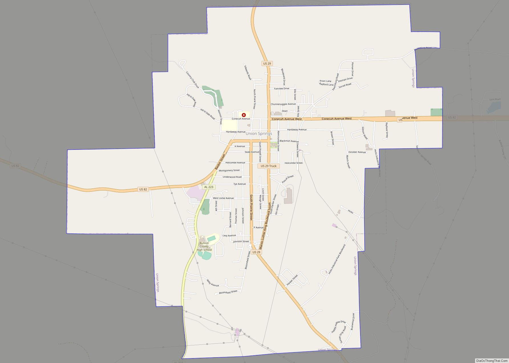
Online Interactive Map
Click on ![]() to view map in "full screen" mode.
to view map in "full screen" mode.
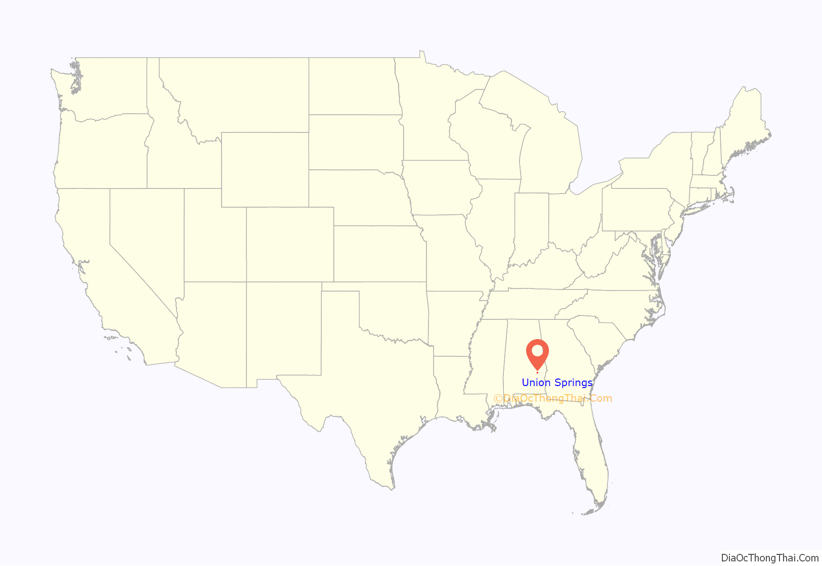
Union Springs location map. Where is Union Springs city?
History
The area that became Union Springs was first settled by white men after the Creek Indian removal of the 1830s. Twenty-seven springs watered the land, giving rise to the name of Union Springs. The city was incorporated on January 13, 1844. Voters selected Union Springs as the county seat when Bullock County was formed in 1866.
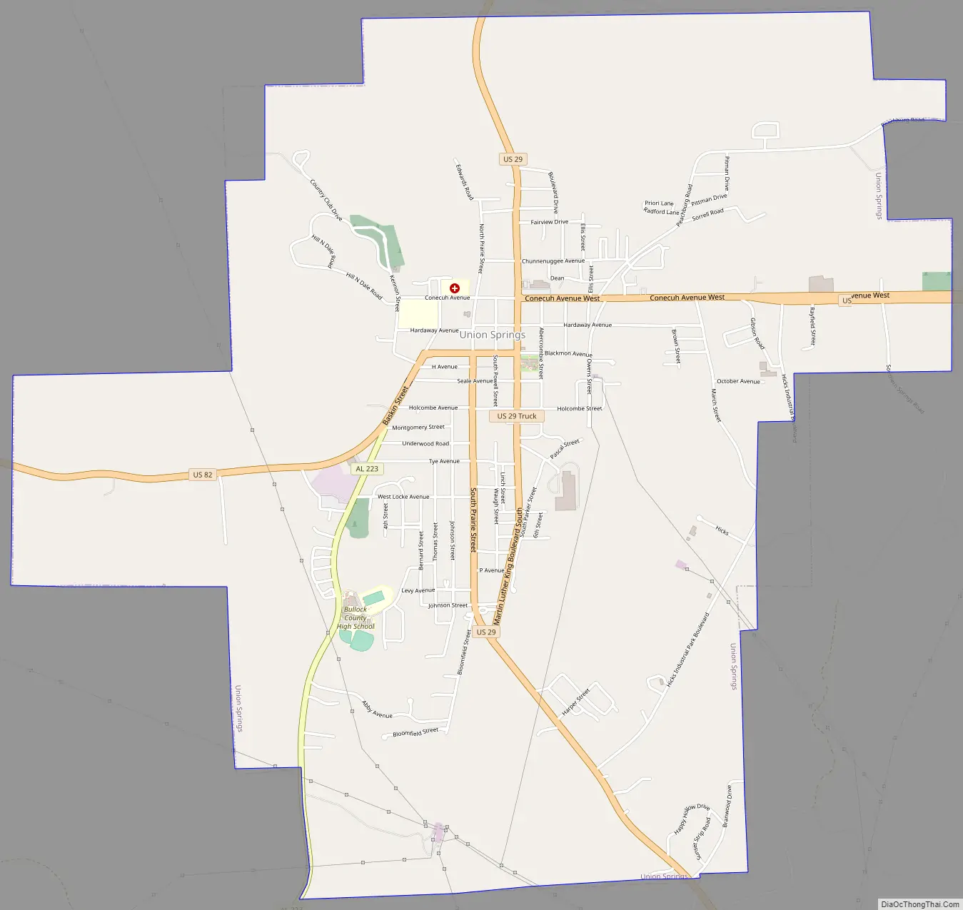
Union Springs Road Map
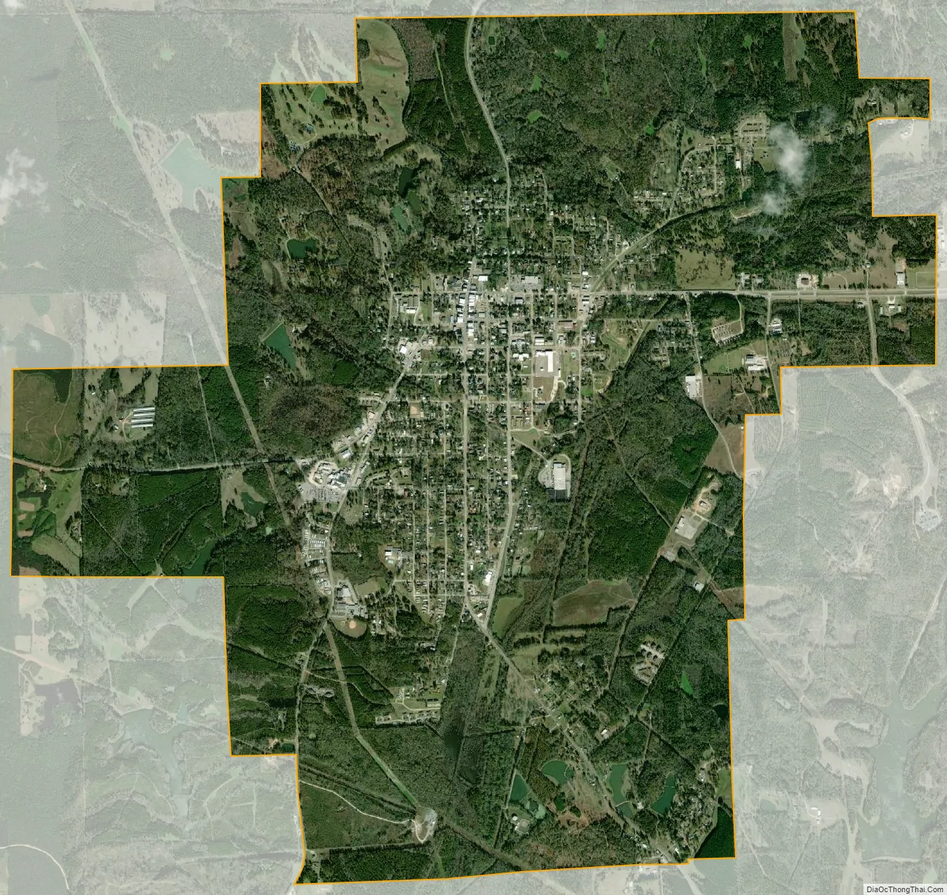
Union Springs city Satellite Map
Geography
Union Springs is located in southeastern Alabama near the center of Bullock County at 32°8’24.407″ North, 85°42’46.094″ West (32.140113, -85.712804). The source of the Conecuh River is within the city limits.
The city is located at the intersection of U.S. Route 82 and U.S. Route 29. Route 82 leads east 40 miles (64 km) to Eufaula and northwest 46 miles (74 km) to Montgomery, the state capital. Route 29 leads north 23 miles (37 km) to Tuskegee and southwest 40 miles (64 km) to Troy.
According to the U.S. Census Bureau, Union Springs has a total area of 6.7 square miles (17.3 km), of which 6.6 square miles (17.2 km) is land and 0.077 square miles (0.2 km), or 0.93%, is water.
See also
Map of Alabama State and its subdivision:- Autauga
- Baldwin
- Barbour
- Bibb
- Blount
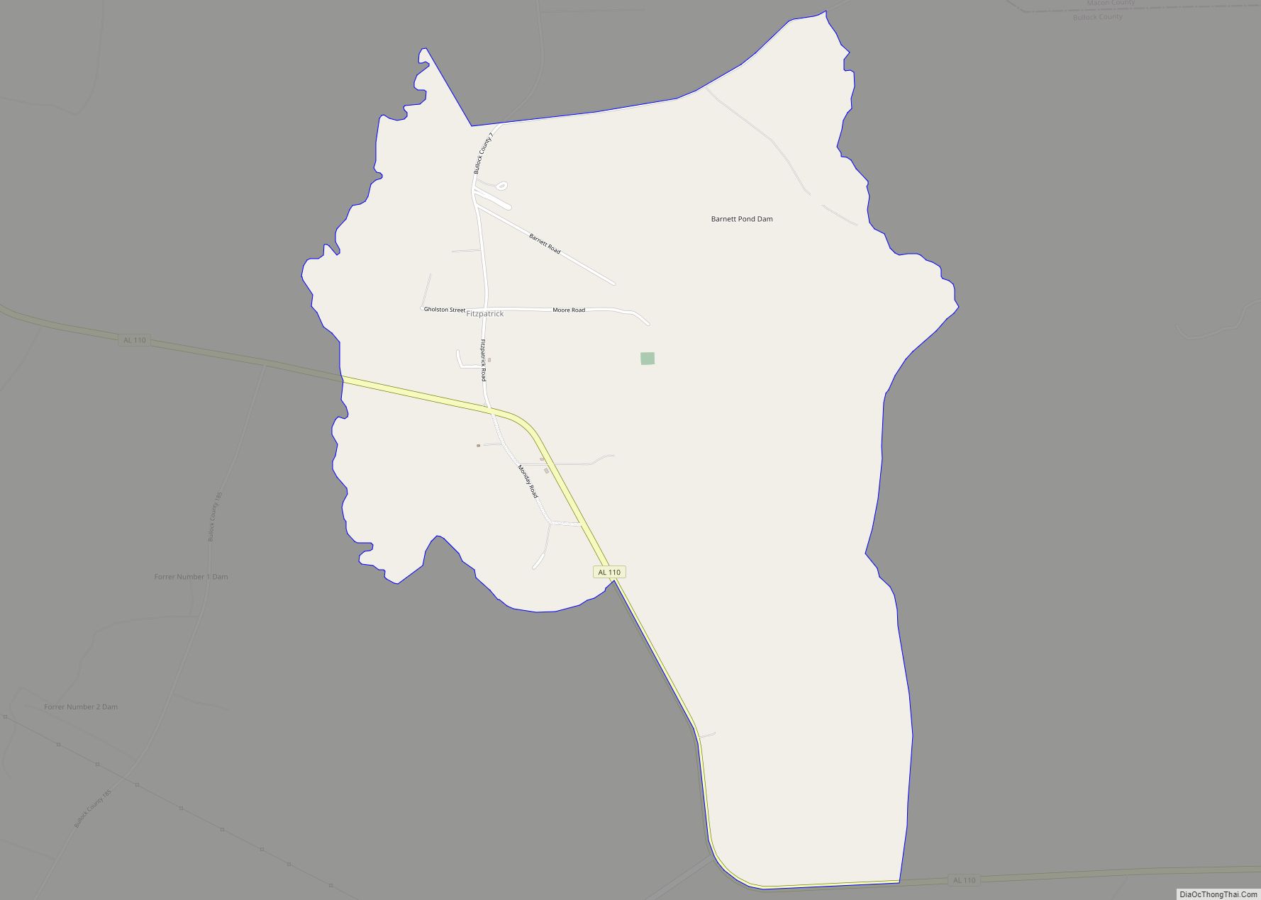
- Bullock
- Butler
- Calhoun
- Chambers
- Cherokee
- Chilton
- Choctaw
- Clarke
- Clay
- Cleburne
- Coffee
- Colbert
- Conecuh
- Coosa
- Covington
- Crenshaw
- Cullman
- Dale
- Dallas
- De Kalb
- Elmore
- Escambia
- Etowah
- Fayette
- Franklin
- Geneva
- Greene
- Hale
- Henry
- Houston
- Jackson
- Jefferson
- Lamar
- Lauderdale
- Lawrence
- Lee
- Limestone
- Lowndes
- Macon
- Madison
- Marengo
- Marion
- Marshall
- Mobile
- Monroe
- Montgomery
- Morgan
- Perry
- Pickens
- Pike
- Randolph
- Russell
- Saint Clair
- Shelby
- Sumter
- Talladega
- Tallapoosa
- Tuscaloosa
- Walker
- Washington
- Wilcox
- Winston
- Alabama
- Alaska
- Arizona
- Arkansas
- California
- Colorado
- Connecticut
- Delaware
- District of Columbia
- Florida
- Georgia
- Hawaii
- Idaho
- Illinois
- Indiana
- Iowa
- Kansas
- Kentucky
- Louisiana
- Maine
- Maryland
- Massachusetts
- Michigan
- Minnesota
- Mississippi
- Missouri
- Montana
- Nebraska
- Nevada
- New Hampshire
- New Jersey
- New Mexico
- New York
- North Carolina
- North Dakota
- Ohio
- Oklahoma
- Oregon
- Pennsylvania
- Rhode Island
- South Carolina
- South Dakota
- Tennessee
- Texas
- Utah
- Vermont
- Virginia
- Washington
- West Virginia
- Wisconsin
- Wyoming