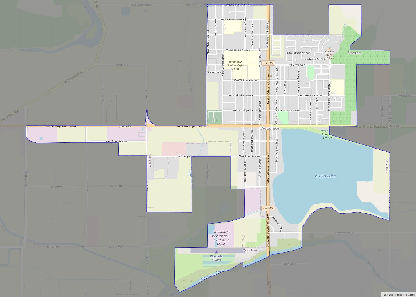
Map of Wrightwood CDP

Map of Wrightwood CDP

Wrightwood is a census-designated place in San Bernardino County, California. It sits at an elevation of 6,000 feet (1,800 m). The population was 4,525 at the 2010 census, up from the population of 3,837 at the 2000 census. Wrightwood is located 77 miles (124 km) northeast of Los Angeles. Wrightwood is on the Pacific Crest Trail. Wrightwood … Read more

Map of Woodville CDP, California

Map of Woodville CDP, California

Woodville is a census-designated place (CDP) in Tulare County, California, United States. The population was 1,740 at the 2010 census, up from 1,678 at the 2000 census. Woodville CDP overview: Name: Woodville CDP LSAD Code: 57 LSAD Description: CDP (suffix) State: California County: Tulare County Elevation: 338 ft (103 m) Total Area: 4.352 sq mi (11.270 km²) Land Area: 4.352 sq mi … Read more

Map of Woodside town

Map of Woodside town, California

Woodside is a small incorporated town in San Mateo County, California, United States, on the San Francisco Peninsula. Woodside is among the wealthiest communities in the United States, home to many technology billionaires and investment managers, with average home prices exceeding 10 million dollars. It has a council–manager system of government. The population of the … Read more

Map of Yolo CDP

Map of Yolo CDP

Yolo (Wintun: Yo-loy) is an unincorporated community and census-designated place in Yolo County, California. It is located 4.9 miles northwest of the county seat, Woodland and 24 miles northwest of the state capital of Sacramento. Yolo’s ZIP Code is 95697 and its area code 530. It lies at an elevation of 82 feet (25 m). … Read more

Map of Yettem CDP

Map of Yettem CDP

Yettem is a census-designated place (CDP) in Tulare County, California. Yettem is located on California State Route 201 11 miles (18 km) north of Visalia. Yettem has a post office with ZIP code 93670. Yettem sits at an elevation of 348 feet (106 m). The 2010 United States census reported Yettem’s population was 211. Yettem’s name was … Read more

Map of Yankee Hill CDP

Map of Yankee Hill CDP, California

Yankee Hill (formerly, Rich Gulch and Spanishtown) is an unincorporated community and census-designated place in Butte County, California. It is located 6.5 miles (10.5 km) east-southeast of Paradise, at an elevation of 1982 feet (604 m). The population was 333 at the 2010 census. Yankee Hill CDP overview: Name: Yankee Hill CDP LSAD Code: 57 LSAD … Read more

Map of Yosemite Valley CDP

Map of Yosemite Valley CDP

Yosemite Valley (Yosemite, Miwok for “killer”) is a census-designated place (CDP) in Mariposa County, California, United States. It consists of the developed area of Yosemite Village and the other areas of the Yosemite Valley in Yosemite National Park. The population was 337 at the 2020 census. Situated along the north side of the valley floor, … Read more

Map of Yosemite Lakes CDP

Map of Yosemite Lakes CDP

Yosemite Lakes Park is an unincorporated community in Madera County, California. It lies at an elevation of 1,230 feet (370 m). As a census-designated place (CDP) it is known as Yosemite Lakes. It is part of the Madera Metropolitan Statistical Area. The population was 5,022 at the 2020 census. The area was developed by Titan Group … Read more

Map of Yorba Linda city

Map of Yorba Linda city

Yorba Linda is a suburban city in northeastern Orange County, California, United States, approximately 37 miles (60 km) southeast of Downtown Los Angeles. It is part of the Los Angeles metropolitan area, and had a population of 68,336 at the 2020 census. Yorba Linda is known for its connection to Richard Nixon, the 37th president of … Read more

Map of Yountville city

Map of Yountville city

Yountville (/ˈjɔːntvɪl/ or /ˈjaʊntvɪl/) is a town in Napa County, in the Wine Country of California, United States. Located in the North Bay region of the Bay Area, the population was 3,436 at the 2020 census. Almost a third of the town’s population lives at the Veterans Home of California. Yountville is a popular tourist … Read more

Map of Yuba City city

Map of Yuba City

Yuba City (Maidu: Yubu) is a city in Northern California and the county seat of Sutter County, California, United States. The population was 70,117 at the 2020 census. Yuba City is the principal city of the Yuba City Metropolitan Statistical Area which encompasses all of Sutter County and Yuba County. The metro area’s population is … Read more

Map of Yreka city

Map of Yreka city

Yreka (/waɪˈriːkə/ wy-REE-kə) is the county seat of Siskiyou County, California, United States, near the Shasta River; the city has an area of about 10 square miles (26 km), most of it land. As of the 2020 United States Census, the population was 7,807, reflecting a meager increase from 7,765 counted in the 2010 Census. Yreka … Read more