Yosemite Valley (Yosemite, Miwok for “killer”) is a census-designated place (CDP) in Mariposa County, California, United States. It consists of the developed area of Yosemite Village and the other areas of the Yosemite Valley in Yosemite National Park. The population was 337 at the 2020 census.
Situated along the north side of the valley floor, its permanent population includes staff of the National Park Service, which administers the park, and some concession workers associated with various contracts in the park.
The village has some public facilities, such as a fire station, a post office (ZIP Code 95389), a medical clinic, a convenience store, restaurants, gift shops, and a school (kindergarten through eighth grade). The park’s headquarters facilities and its main visitor center are also located here.
The Yosemite Lodge is located at the west end of the village near Yosemite Falls. The Ahwahnee Hotel is a few blocks to the north. Both are operated by concessionaires under contract to the National Park Service. The architecture of Yosemite Village is characterized by shed style and makes extensive use of native woods. The earliest 20th-century buildings were designed by landscape architect Charles Punchard Jr., among others in the National Park Service.
The first US post office opened in 1869, originally named “Yo Semite”. The spelling was changed to “Yosemite” in 1908 and to “Yosemite National Park” in 1922. In 1906, Major H.C. Benson was commanded to build and garrison Fort Yosemite in the valley. US Army troops were stationed at Fort Yosemite until 1916, when the National Park Service was established to administer Yosemite and other national parks.
Curry Village is one of the lodging options in the area.
| Name: | Yosemite Valley CDP |
|---|---|
| LSAD Code: | 57 |
| LSAD Description: | CDP (suffix) |
| State: | California |
| County: | Mariposa County |
| Total Area: | 2.119 sq mi (5.49 km²) |
| Land Area: | 2.058 sq mi (5.33 km²) |
| Water Area: | 0.061 sq mi (0.16 km²) 2.88% |
| Total Population: | 337 |
| Population Density: | 163.8/sq mi (63.2/km²) |
| ZIP code: | 95389 |
| Area code: | 209 |
| FIPS code: | 0686912 |
| GNISfeature ID: | 2409638 |
Online Interactive Map
Click on ![]() to view map in "full screen" mode.
to view map in "full screen" mode.
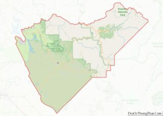
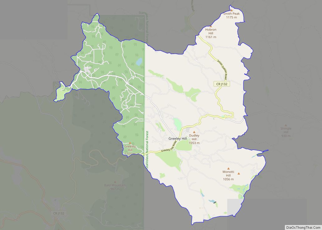
Yosemite Valley location map. Where is Yosemite Valley CDP?


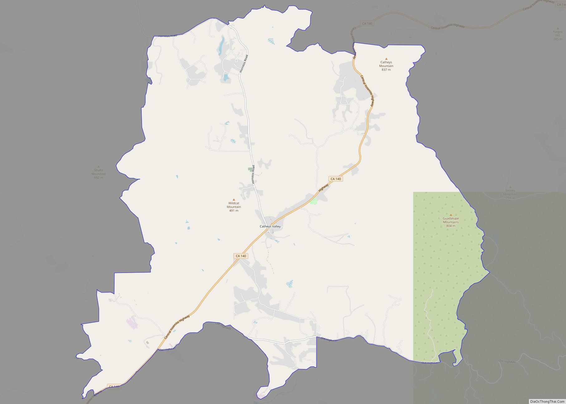
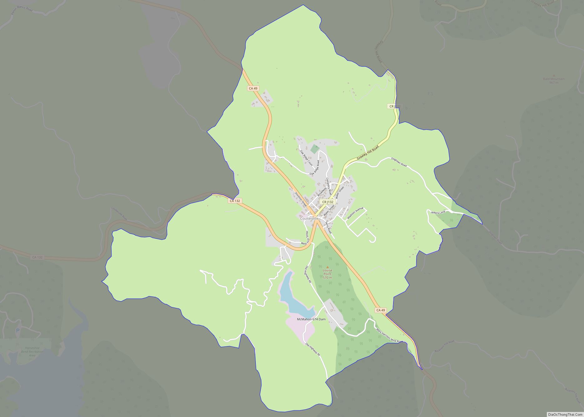
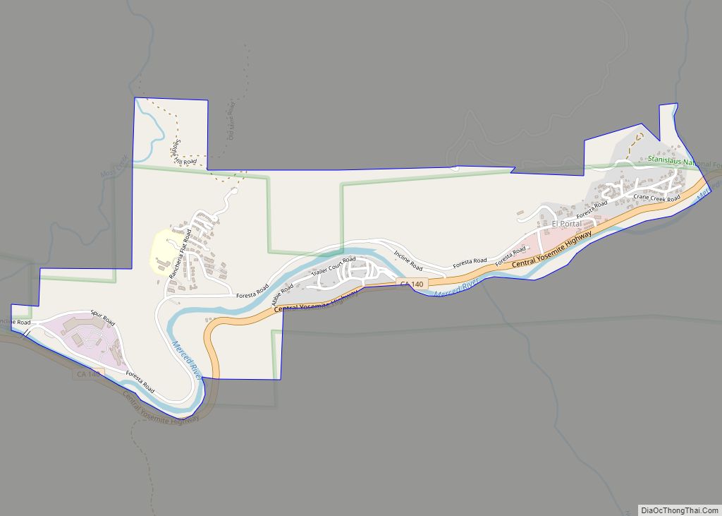
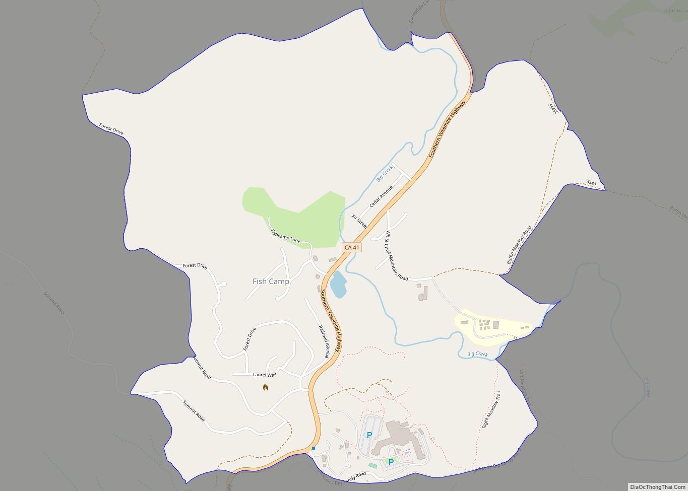
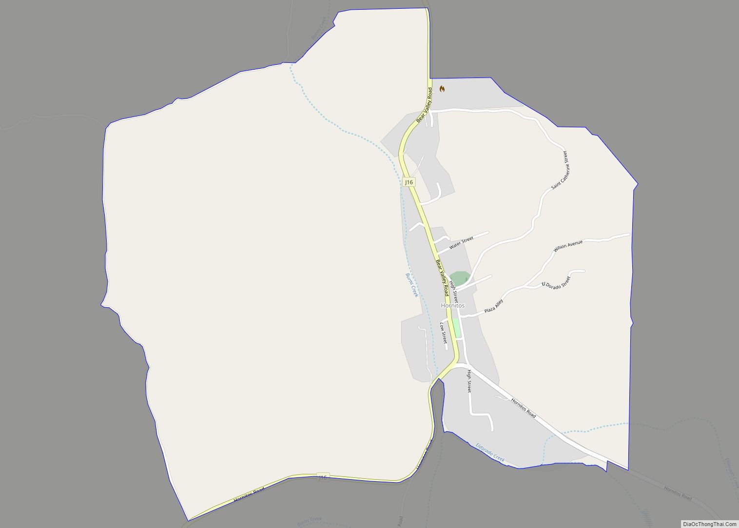
Yosemite Valley Road Map

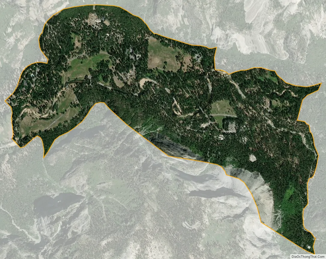
Yosemite Valley city Satellite Map
Geography
Yosemite Valley is located at 37°44′36″N 119°34′33″W / 37.74333°N 119.57583°W / 37.74333; -119.57583 (37.743324, -119.575724).
According to the United States Census Bureau, the community has a total area of 2.1 square miles (5.4 km), of which 0.06 square miles (0.16 km), or 2.88% are water. The Merced River flows westward through the center of the CDP.
Climate
See also
Map of California State and its subdivision:- Alameda
- Alpine
- Amador
- Butte
- Calaveras
- Colusa
- Contra Costa
- Del Norte
- El Dorado
- Fresno
- Glenn
- Humboldt
- Imperial
- Inyo
- Kern
- Kings
- Lake
- Lassen
- Los Angeles
- Madera
- Marin
- Mariposa
- Mendocino
- Merced
- Modoc
- Mono
- Monterey
- Napa
- Nevada
- Orange
- Placer
- Plumas
- Riverside
- Sacramento
- San Benito
- San Bernardino
- San Diego
- San Francisco
- San Joaquin
- San Luis Obispo
- San Mateo
- Santa Barbara
- Santa Clara
- Santa Cruz
- Shasta
- Sierra
- Siskiyou
- Solano
- Sonoma
- Stanislaus
- Sutter
- Tehama
- Trinity
- Tulare
- Tuolumne
- Ventura
- Yolo
- Yuba
- Alabama
- Alaska
- Arizona
- Arkansas
- California
- Colorado
- Connecticut
- Delaware
- District of Columbia
- Florida
- Georgia
- Hawaii
- Idaho
- Illinois
- Indiana
- Iowa
- Kansas
- Kentucky
- Louisiana
- Maine
- Maryland
- Massachusetts
- Michigan
- Minnesota
- Mississippi
- Missouri
- Montana
- Nebraska
- Nevada
- New Hampshire
- New Jersey
- New Mexico
- New York
- North Carolina
- North Dakota
- Ohio
- Oklahoma
- Oregon
- Pennsylvania
- Rhode Island
- South Carolina
- South Dakota
- Tennessee
- Texas
- Utah
- Vermont
- Virginia
- Washington
- West Virginia
- Wisconsin
- Wyoming