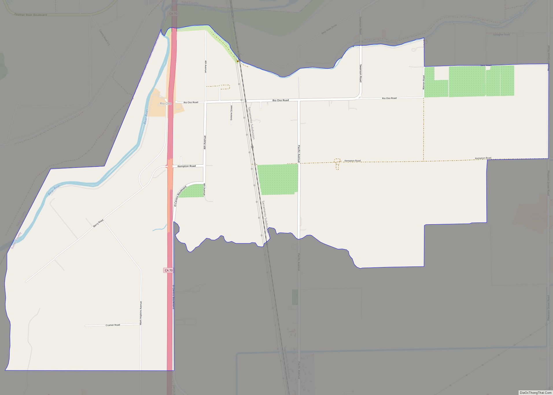
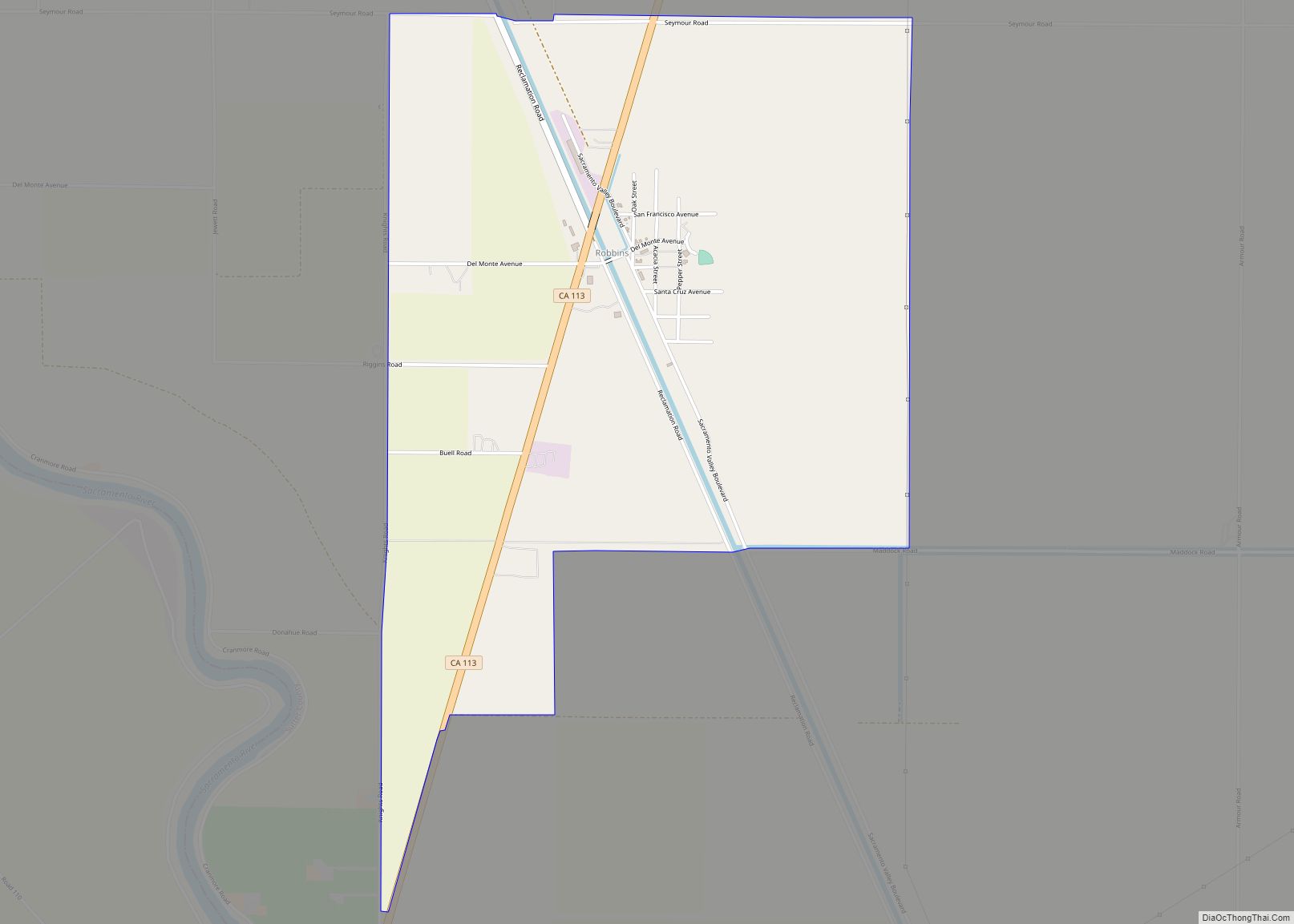
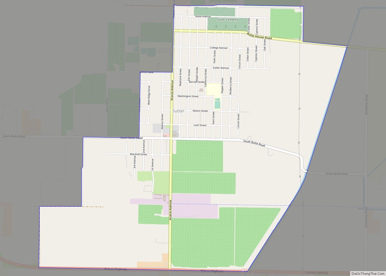
Yuba City (Maidu: Yubu) is a city in Northern California and the county seat of Sutter County, California, United States. The population was 70,117 at the 2020 census. Yuba City is the principal city of the Yuba City Metropolitan Statistical Area which encompasses all of Sutter County and Yuba County. The metro area’s population is 164,138. It is the 21st largest metropolitan area in California, ranked behind Redding and Chico. Its metropolitan statistical area is part of the Greater Sacramento CSA.
| Name: | Yuba City city |
|---|---|
| LSAD Code: | 25 |
| LSAD Description: | city (suffix) |
| State: | California |
| County: | Sutter County |
| Incorporated: | January 23, 1908 |
| Elevation: | 59 ft (18 m) |
| Total Area: | 14.98 sq mi (38.79 km²) |
| Land Area: | 14.90 sq mi (38.59 km²) |
| Water Area: | 0.08 sq mi (0.20 km²) 0.53% |
| Total Population: | 70,117 |
| Population Density: | 4,700/sq mi (1,800/km²) |
| ZIP code: | 95991–95993 |
| Area code: | 530 |
| FIPS code: | 0686972 |
| GNISfeature ID: | 1660222 |
| Website: | www.yubacity.net |
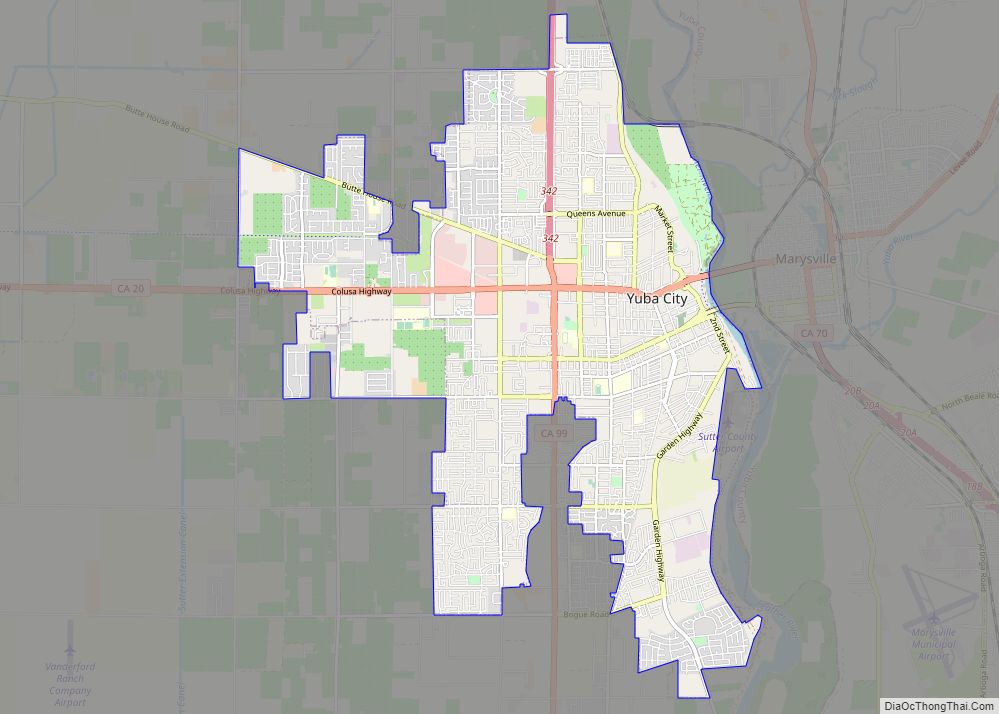
Online Interactive Map
Click on ![]() to view map in "full screen" mode.
to view map in "full screen" mode.
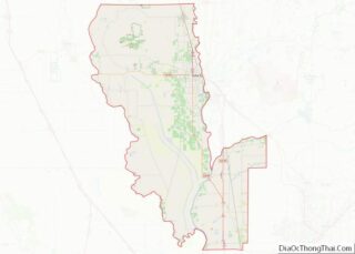
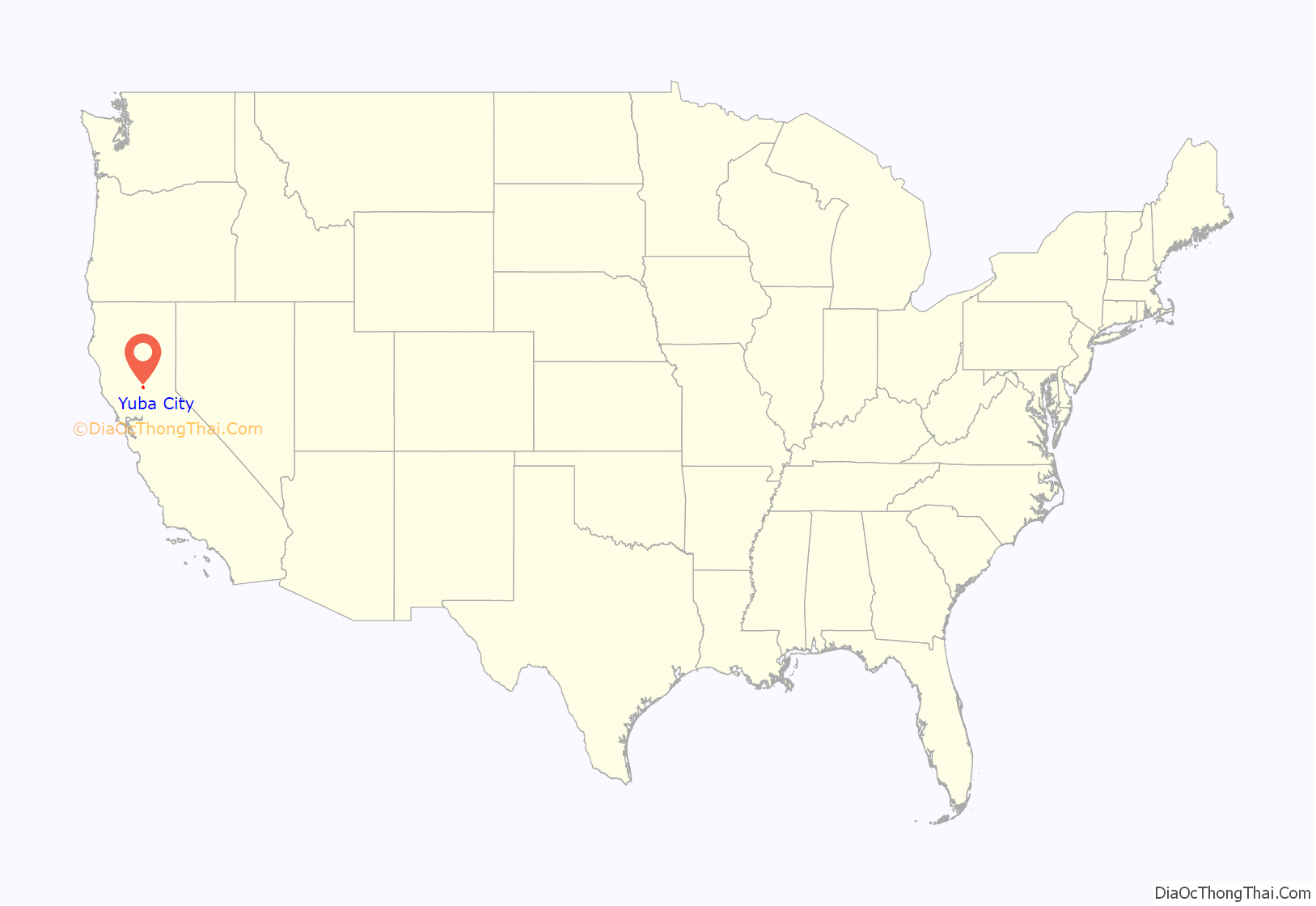
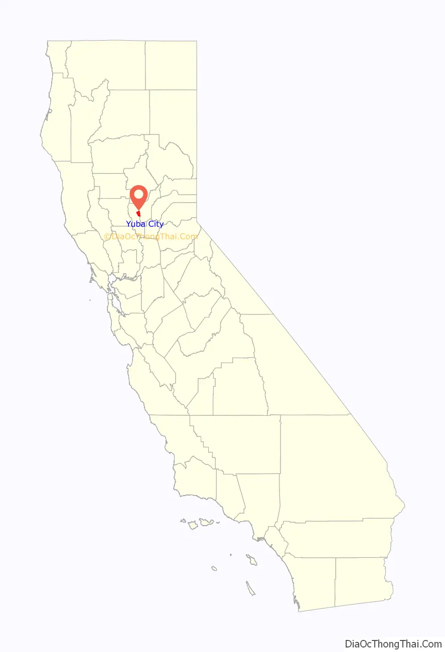
Yuba City location map. Where is Yuba City city?
History
Early history
The Maidu people were settled in the region when they were first encountered by Spanish and Mexican scouting expeditions in the early 18th century. One version of the origin of the name “Yuba” is that during one of these expeditions, wild grapes were seen growing by a river, and so it was named “Uba”, a variant spelling of the Spanish word uva (grape).
The Mexican government granted a large expanse of land, which included the area in which Yuba City is situated, to John Sutter—the same John Sutter upon whose land gold was subsequently discovered in 1848. He sold part of this tract to some enterprising men who wished to establish a town near the confluence of the Yuba River and the Feather River, tributaries of the Sacramento River, with an eye to developing a commercial center catering to the thousands of gold miners headed upstream to the gold fields. At the same time, another town was developing on the eastern bank of the Feather River, the beginnings of what later would become Marysville.
By 1852, Yuba City was a steamboat landing, had one hotel, a grocery store, a post office, and approximately 20 dwelling homes with a population of about 150.
Yuba City was chosen as county seat for Sutter County in 1854. The same year, however, voters decided that Nicolaus would be a better location, and the county seat was moved there. County voters returned to their first choice of Yuba City two years later, in 1856, and it has remained the county seat since.
Yuba City saw its first major influx of population after World War II, pushing residential areas west and south from the city’s original center. Orchards were turned into residential areas as new homes were built for people migrating to the city.
Flood of 1955
In December 1955, a series of storms dropped torrential rain throughout northern California. The deluge caused all the rivers in the region to overflow their banks and to break through levees. The Christmas Eve levee break at Yuba City was particularly disastrous, with 38 people losing their lives, and heavy damage occurring in the downtown section. According to Dick Brandt, manager of the Yuba County airport in 1955, between 550 and 600 Sutter County residents were rescued from the floodwater by helicopter.
B-52 airplane crash
On March 14, 1961, a Boeing B-52 Stratofortress carrying nuclear weapons, flying near Yuba City, encountered a pressurization problem, and had to drop to a lower altitude. Because of this, more fuel than expected was used, and the aircraft ran out of fuel. It crashed before meeting with a tanker aircraft. The pilot gave the bailout command, and the crew egressed at 10,000 ft, except for the pilot, who ejected at 4,000 ft, while avoiding a populated area. The aircraft was destroyed. The weapons, two Mark 39 (3.8 megatons each) thermonuclear bombs (identified from declassified Department of Energy films and photographs) were destroyed on impact though no explosion took place, and there was no release of radioactive material as a result.
1976 school bus crash
On May 21, 1976, a school bus carrying members of the Yuba City High School’s choir to a performance at Miramonte High School in Orinda, California plunged 28 feet off the exit ramp on I-680 at Marina Vista Road in Martinez, California. Twenty-seven students and one adult chaperone died and twenty-three students were seriously injured.
1978 missing person case
On February 24, 1978, five young men from Yuba City, Gary Dale Mathias, Jack Madruga, Jackie Huett, Theodore (Ted) Weiher and William Sterling, aged between 24 and 32 years, disappeared under mysterious circumstances. They went to a basketball game in Chico and on their way back drove up to a mountain road away from the main road back to Yuba, where their car had been found later, undamaged and with enough gas to drive back to Yuba City.
Four of the men were later found in and near a trailer on June 4 of the same year. Ted Weiher was found inside the trailer, starved, covered in blankets. Inside the trailer there was enough food to supply all five men for about a year, and enough paper and wood to light a fire, but nothing was used this way. The corpses and bones of three of the other men were found outside the trailer, but Gary Mathias was never found.
1994 mosque burning
Yuba City has been home to a significant Muslim population, including Pakistani Americans descended from c. 1902 immigrants. In 1994 the Muslim community completed a mosque that cost an estimated $1.8 million and many hours of donated work. Soon after, the mosque was destroyed by an act of arson, the first time that a mosque was destroyed in the United States. Eventually the mosque was rebuilt with help of Sikhs, Mormons, Christians, and other groups. The story is told in the 2012 documentary An American Mosque.
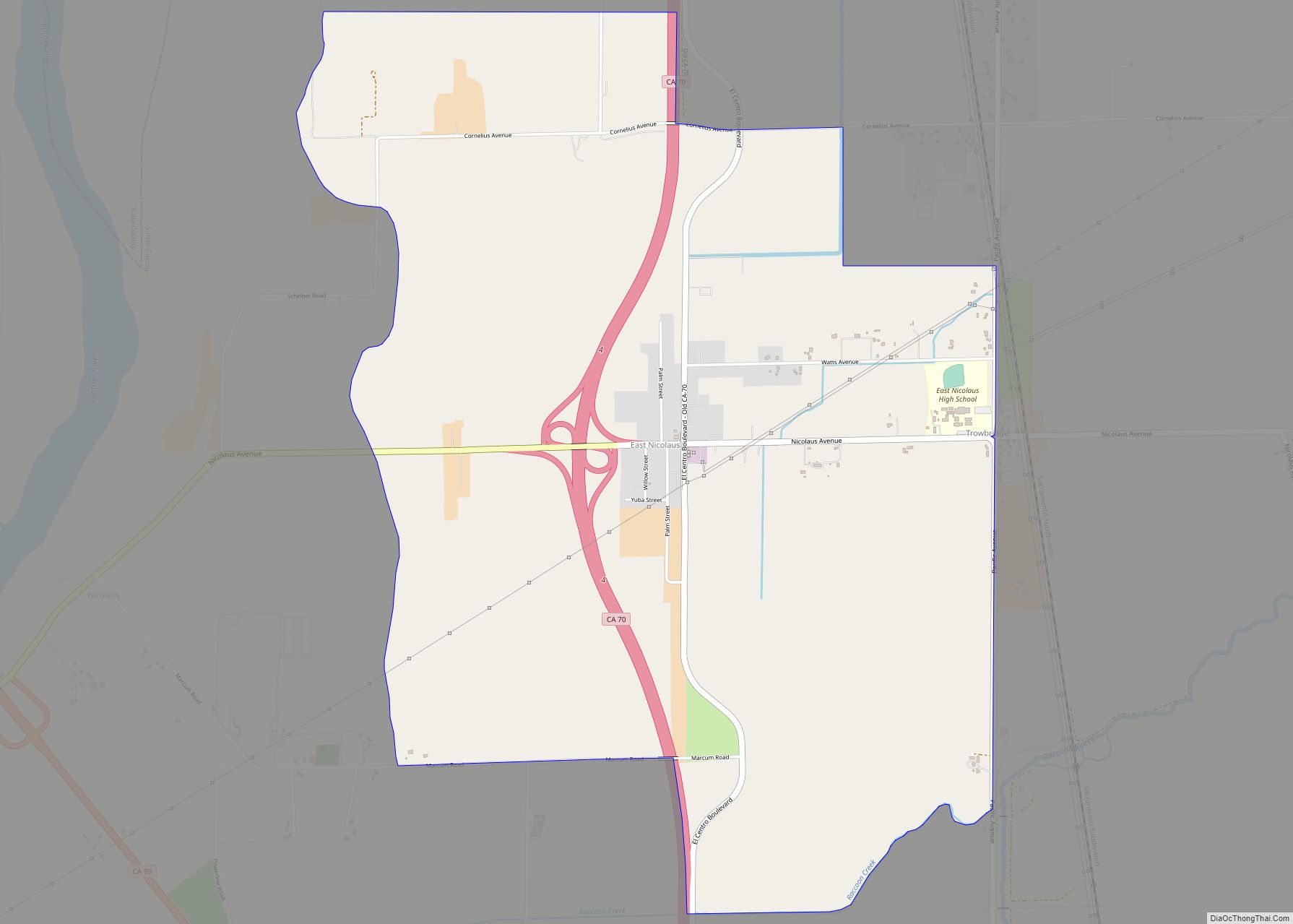
Yuba City Road Map
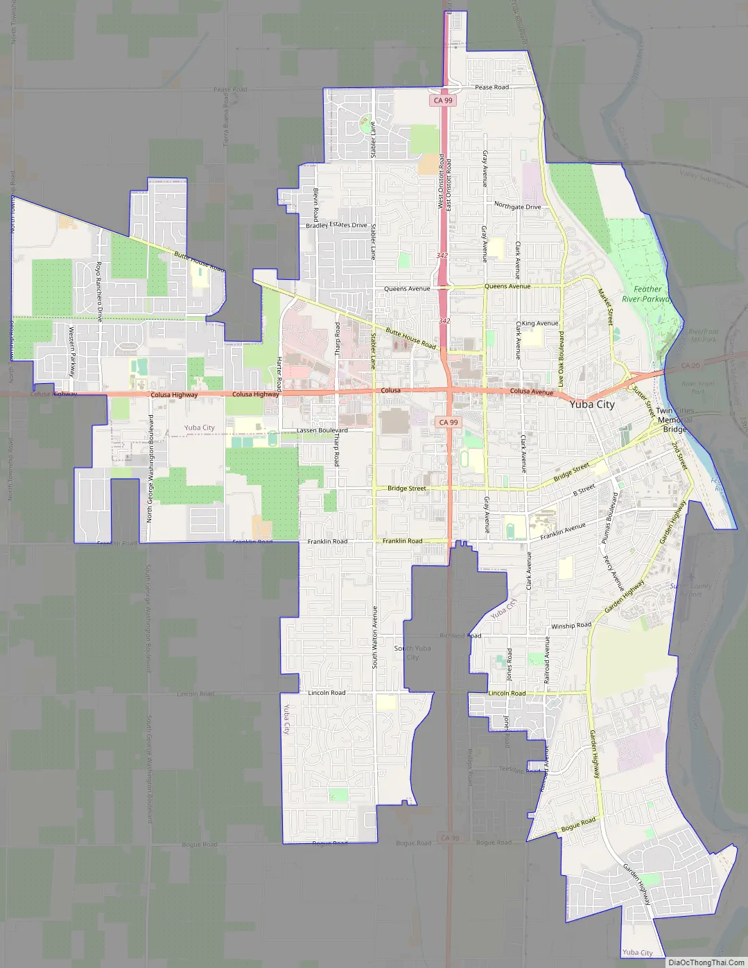
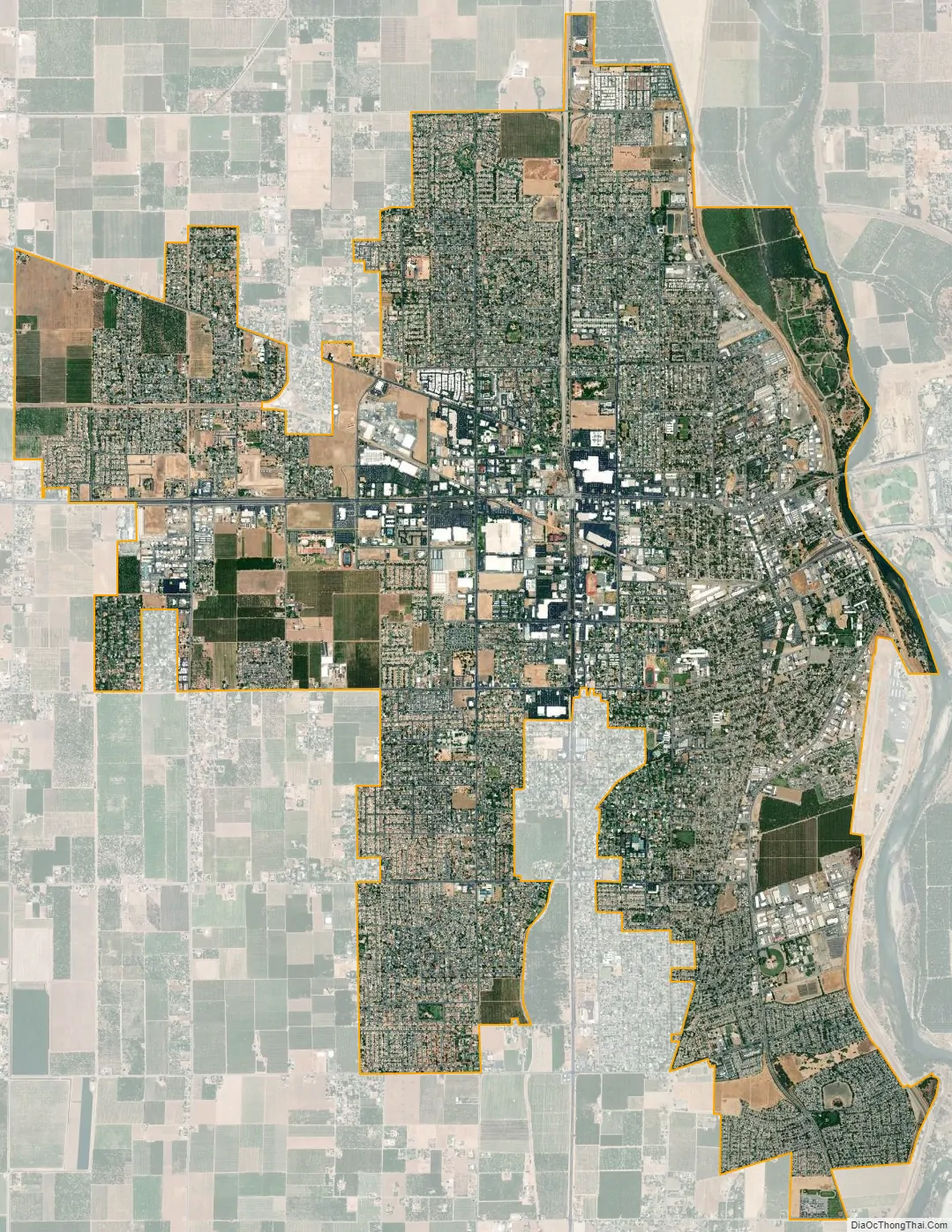
Yuba City city Satellite Map
Geography
Yuba City is located at 39°8’5″ North, 121°37’34” West (39.134792, −121.626201).
According to the United States Census Bureau, the city has a total area of 14.7 square miles (38.07 km), of which 14.6 square miles (37.81 km) is land and 0.1 square miles (0.26 km) is water. The total area is 0.53% water.
The Yuba City area is located 40 miles (64 km) north of Sacramento and situated in the Sacramento Valley. It is home to the Sutter Buttes, the smallest mountain range in the world. The Feather River borders the city to the east and the area is sometimes referred to as the “Feather River Valley”, which divides the city from its neighbor Marysville.
See also
Map of California State and its subdivision:- Alameda
- Alpine
- Amador
- Butte
- Calaveras
- Colusa
- Contra Costa
- Del Norte
- El Dorado
- Fresno
- Glenn
- Humboldt
- Imperial
- Inyo
- Kern
- Kings
- Lake
- Lassen
- Los Angeles
- Madera
- Marin
- Mariposa
- Mendocino
- Merced
- Modoc
- Mono
- Monterey
- Napa
- Nevada
- Orange
- Placer
- Plumas
- Riverside
- Sacramento
- San Benito
- San Bernardino
- San Diego
- San Francisco
- San Joaquin
- San Luis Obispo
- San Mateo
- Santa Barbara
- Santa Clara
- Santa Cruz
- Shasta
- Sierra
- Siskiyou
- Solano
- Sonoma
- Stanislaus
- Sutter
- Tehama
- Trinity
- Tulare
- Tuolumne
- Ventura
- Yolo
- Yuba
- Alabama
- Alaska
- Arizona
- Arkansas
- California
- Colorado
- Connecticut
- Delaware
- District of Columbia
- Florida
- Georgia
- Hawaii
- Idaho
- Illinois
- Indiana
- Iowa
- Kansas
- Kentucky
- Louisiana
- Maine
- Maryland
- Massachusetts
- Michigan
- Minnesota
- Mississippi
- Missouri
- Montana
- Nebraska
- Nevada
- New Hampshire
- New Jersey
- New Mexico
- New York
- North Carolina
- North Dakota
- Ohio
- Oklahoma
- Oregon
- Pennsylvania
- Rhode Island
- South Carolina
- South Dakota
- Tennessee
- Texas
- Utah
- Vermont
- Virginia
- Washington
- West Virginia
- Wisconsin
- Wyoming