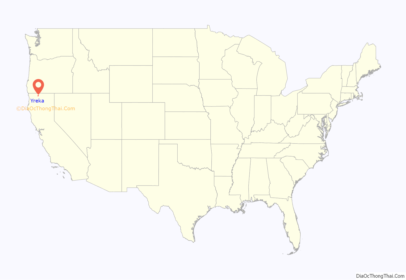
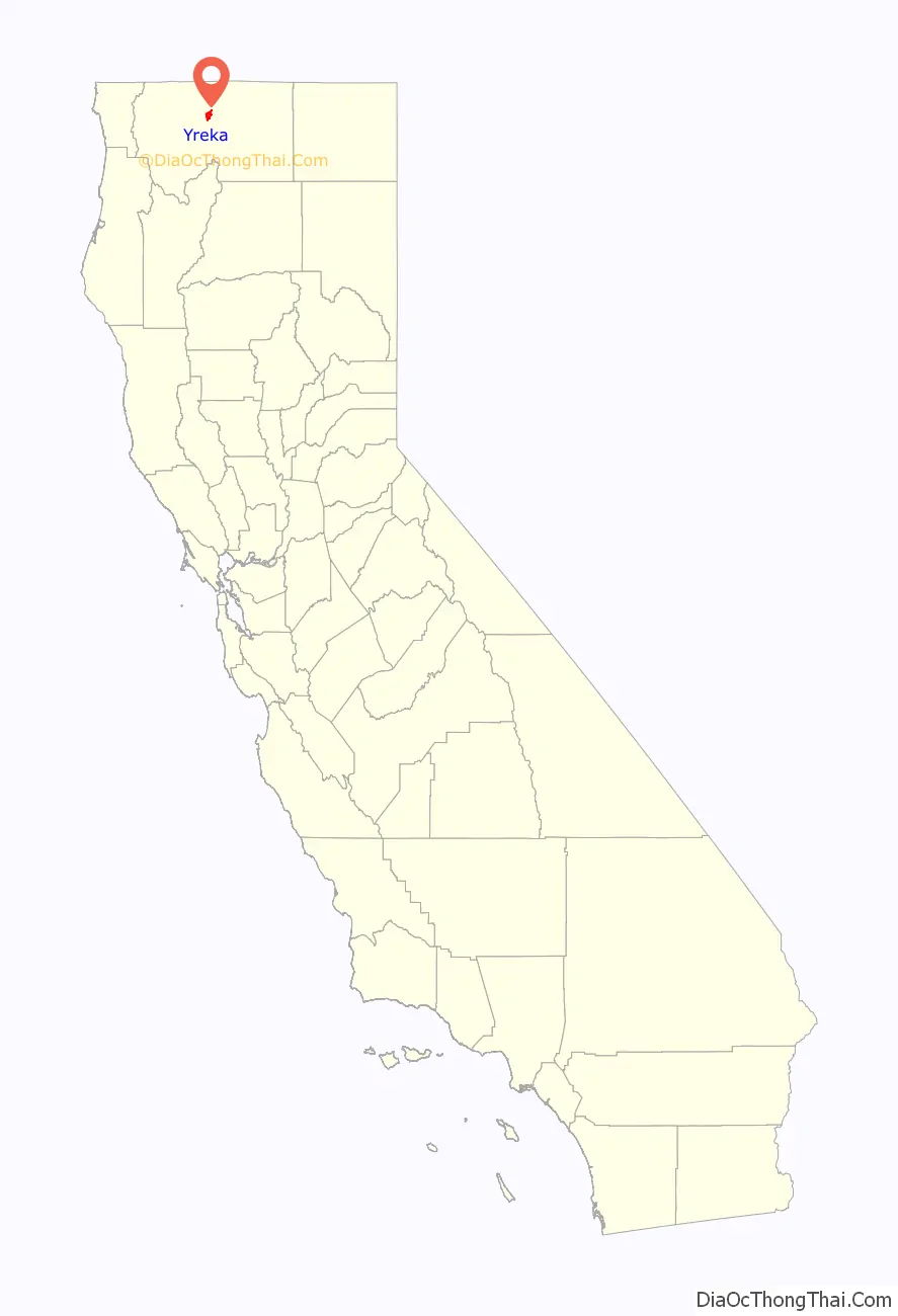
Yreka (/waɪˈriːkə/ wy-REE-kə) is the county seat of Siskiyou County, California, United States, near the Shasta River; the city has an area of about 10 square miles (26 km), most of it land. As of the 2020 United States Census, the population was 7,807, reflecting a meager increase from 7,765 counted in the 2010 Census. Yreka is home to the College of the Siskiyous, Klamath National Forest Interpretive Museum and the Siskiyou County Museum.
| Name: | Yreka city |
|---|---|
| LSAD Code: | 25 |
| LSAD Description: | city (suffix) |
| State: | California |
| County: | Siskiyou County |
| Incorporated: | April 21, 1857 |
| Elevation: | 2,589 ft (789 m) |
| Total Area: | 10.06 sq mi (26.05 km²) |
| Land Area: | 9.98 sq mi (25.86 km²) |
| Water Area: | 0.07 sq mi (0.19 km²) 0.72% |
| Total Population: | 7,807 |
| Population Density: | 752.9/sq mi (290.70/km²) |
| ZIP code: | 96097 |
| Area code: | 530 |
| FIPS code: | 0686944 |
| GNISfeature ID: | 1652661 |
| Website: | ci.yreka.ca.us |
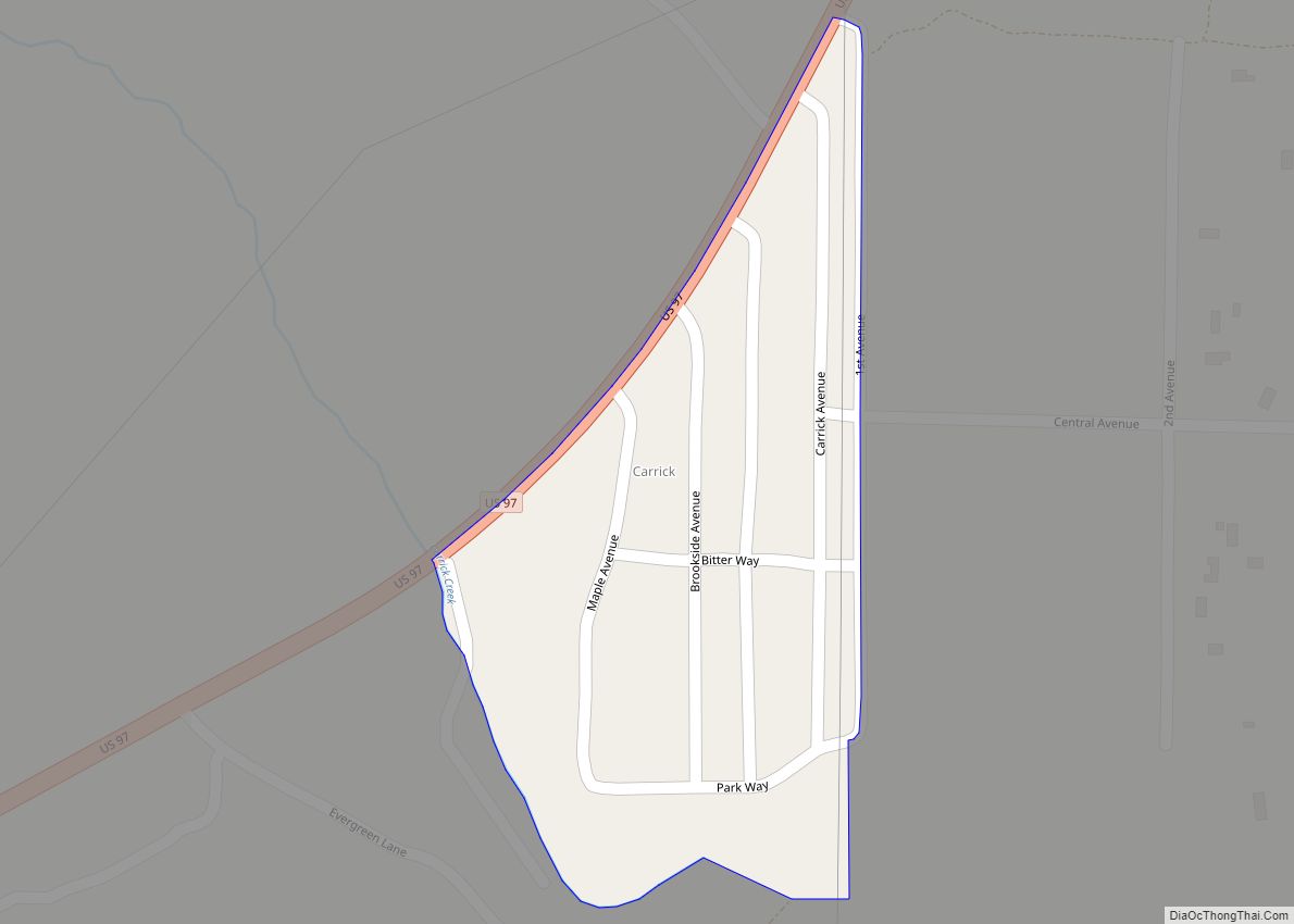
Online Interactive Map
Click on ![]() to view map in "full screen" mode.
to view map in "full screen" mode.
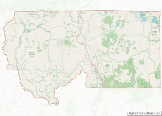
Yreka location map. Where is Yreka city?
History
In March 1851, Abraham Thompson, a mule train packer, discovered gold near Rocky Gulch while traveling along the Siskiyou Trail from southern Oregon. By April 1851, 2,000 miners had arrived in “Thompson’s Dry Diggings” to test their luck, and by June 1851, a gold rush “boomtown” of tents, shanties, and a few rough cabins had sprung up. Several name changes occurred until the city was called Yreka. The name comes from wáik’a, a word meaning “north mountain” or “white mountain”, the name of nearby Mount Shasta in the Shasta language.
Mark Twain tells a different story:
In 1853–54, poet Joaquin Miller described Yreka as a bustling place with “a tide of people up and down and across other streets, as strong as if a city on the East Coast”. Incorporation proceedings were completed on April 21, 1857.
Lynchings
There have been two documented lynchings in Yreka. The first took place on August 26, 1895, when four men—William Null, Garland Stemler, Luis Moreno, and Lawrence Johnson—awaiting trial for various charges of murder and robbery, were simultaneously hanged by a lynch mob from a railroad tie suspended from two adjacent trees.
The second lynching occurred on July 28, 1935. Clyde Johnson and Robert Miller Barr robbed a local business and its patrons in Castella, California. They then stole a car from a patron and drove north to Dunsmuir, California, where they planned to abandon the car and make a getaway by train. Soon after they abandoned the car north of Dunsmuir, they were stopped by California Highway Patrolman George “Molly” Malone and Dunsmuir honorary Chief of Police, 38-year-old Frank R. “Jack” Daw. Johnson pulled out a Luger pistol and wounded both policemen. Malone recovered, but Daw died the next day. Johnson was caught a few hours later by a dragnet and taken into custody. Barr, who was holding the $35 that they got from the robbery, panicked during the shootout and ran off into the woods, then escaped on a freight train. Daw was a beloved figure in Dunsmuir. His title of Chief of Police was given to him because of his cool head and experience as a World War I veteran. The night of Daw’s funeral a dozen cars from Dunsmuir, carrying approximately 50 masked men, drove north to Yreka to lynch Johnson. On August 3, 1935, at 1:30 a.m., the vigilante mob reached the Yreka jail and lightly knocked on the door. Deputy Marin Lange, the only guard on duty at the jail, opened the door slightly and was quickly overtaken. He was driven nine miles east of Yreka where he was released, barefoot. The mob searched the jail, found Johnson, drove him away in one of the cars and hanged him from a pine tree. Barr was arrested over a year later, on September 4, 1936, in Los Angeles on a burglary charge. During his time on the run, he got a part as an extra in the Nelson Eddy/Jeanette MacDonald film Rose Marie, scenes of which were filmed near Lake Tahoe. He is credited in the film under his real name.
Yreka rebellion
On November 27, 1941, a group of young men gained national media attention when, brandishing hunting rifles for dramatic effect, they stopped traffic on U.S. Route 99 south of Yreka, and handed out copies of a Proclamation of Independence, stating that the State of Jefferson was in “patriotic rebellion against the States of California and Oregon” and would continue to “secede every Thursday until further notice.”
The secession movement ended quickly, though not before Del Norte County District Attorney John Leon Childs of Crescent City was inaugurated as governor of the State of Jefferson on December 4, 1941.
The first blow was the death of Mayor Gable on December 2, followed by the attack on Pearl Harbor on December 7. Those in favor of secession focused their efforts on the war effort, which crippled the movement.
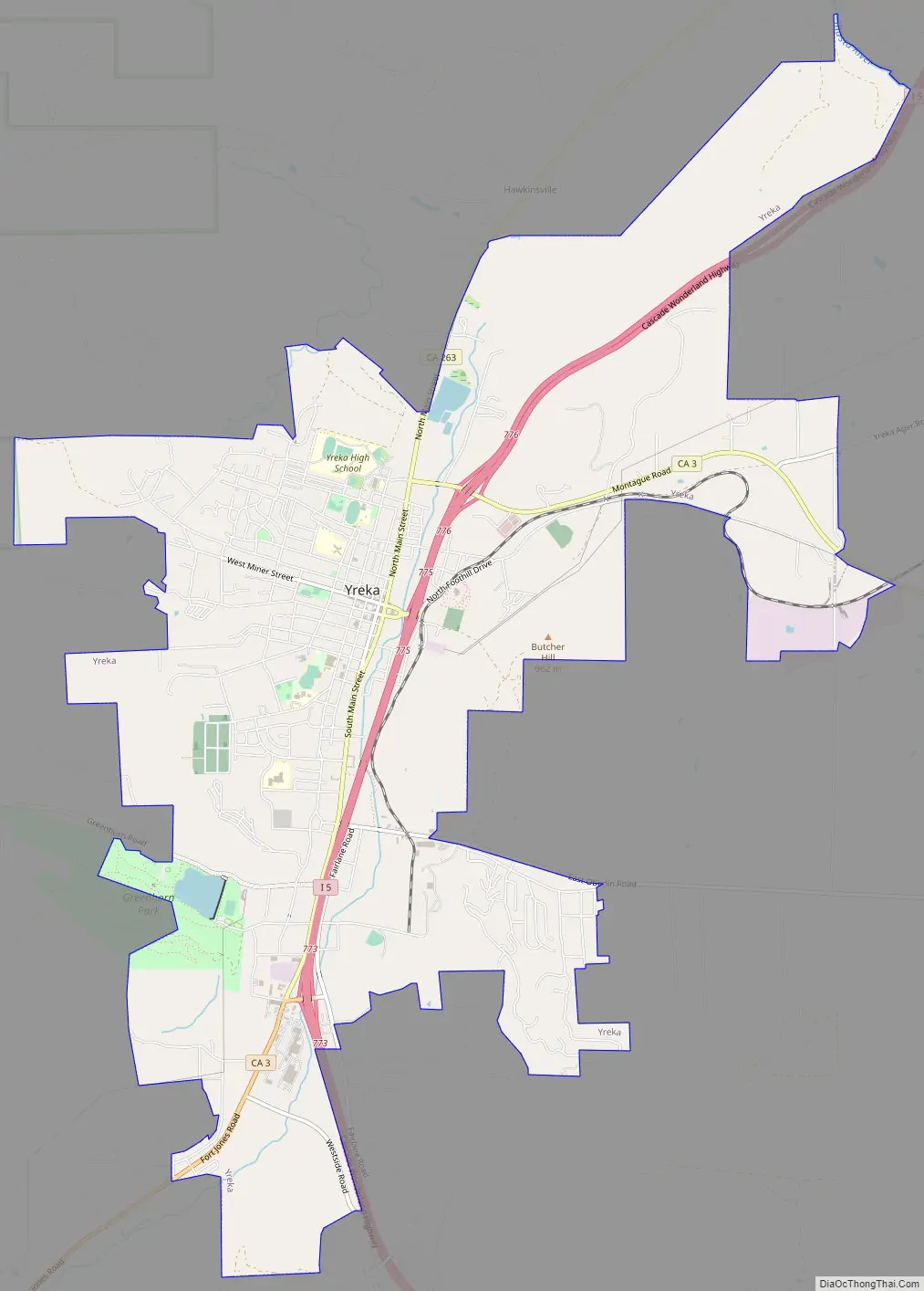
Yreka Road Map
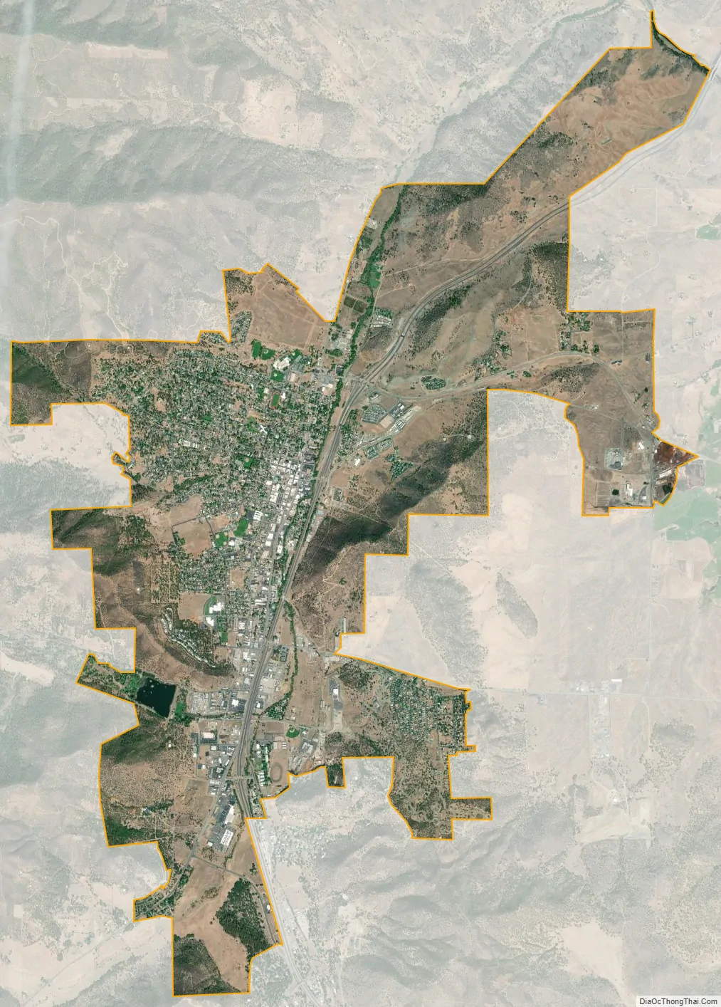
Yreka city Satellite Map
Geography
Yreka is approximately 2,500 feet (760 m) above sea level in the Shasta Valley, south of the Siskiyou Mountains and north of Mount Shasta, a 14,000 ft (4,300 m) dormant volcano that towers over the valley.
According to the United States Census Bureau, the city has an area of 10.1 sq mi (26 km), of which 10.0 square miles (26 km) is land and 0.1 square miles (0.26 km) (0.72%) is water.
Natural history
The official city flower of Yreka is the Yreka phlox (Phlox hirsuta).
The only known specimen of Calochortus monanthus, the single-flowered mariposa lily, was collected near Yreka along the banks of the Shasta River, by botanist Edward Lee Greene, in June 1876.
Nearby settlements
Nearby places include:
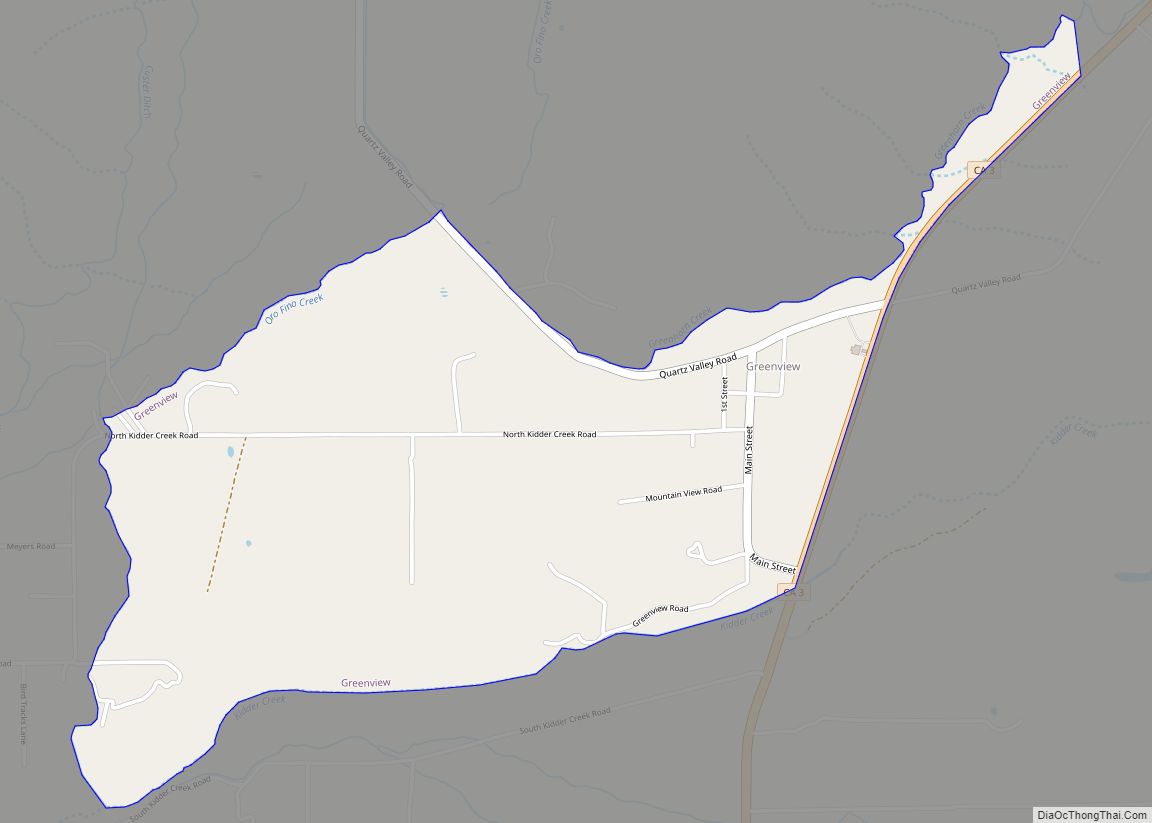
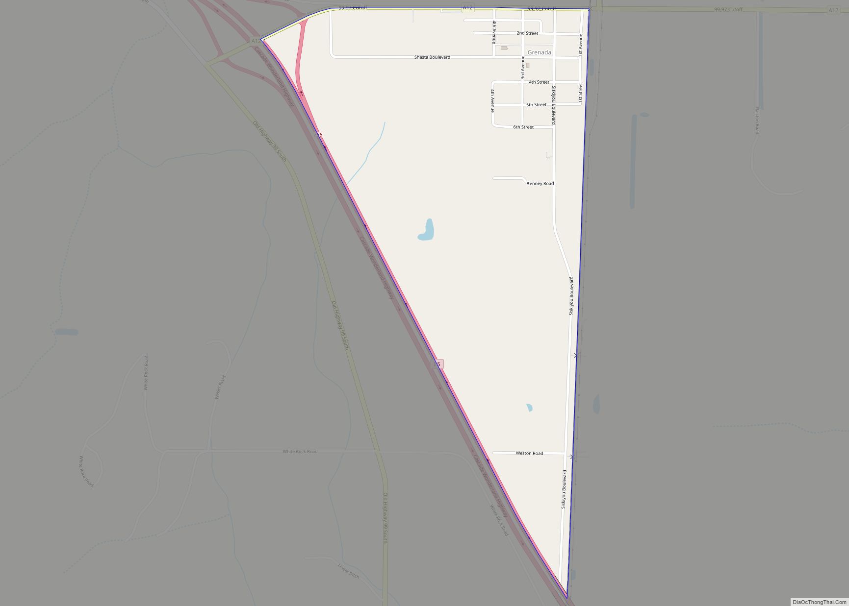
- Montague: 6.4 miles (10.3 km) east
- Grenada: 11.5 miles (18.5 km) southeast
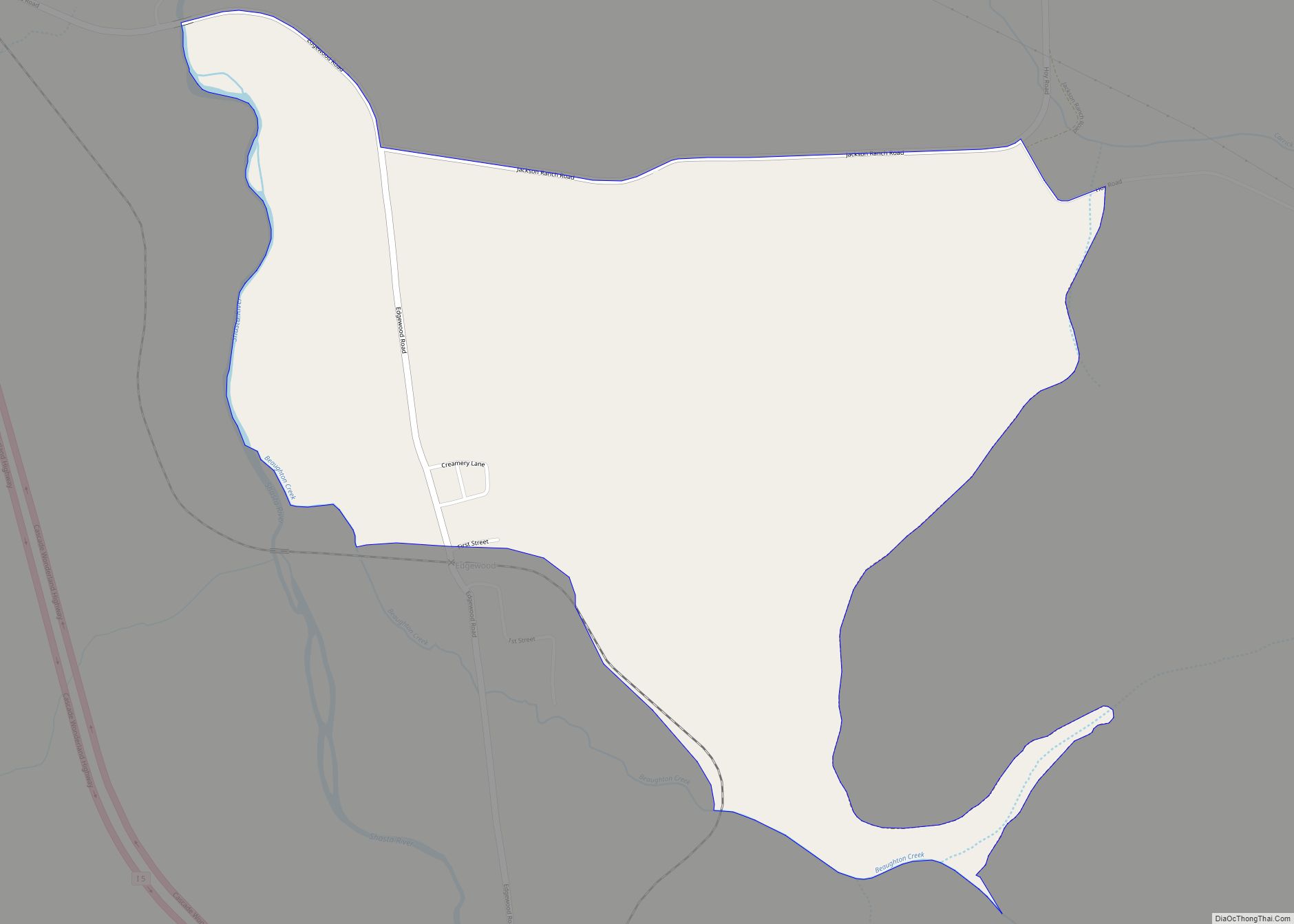
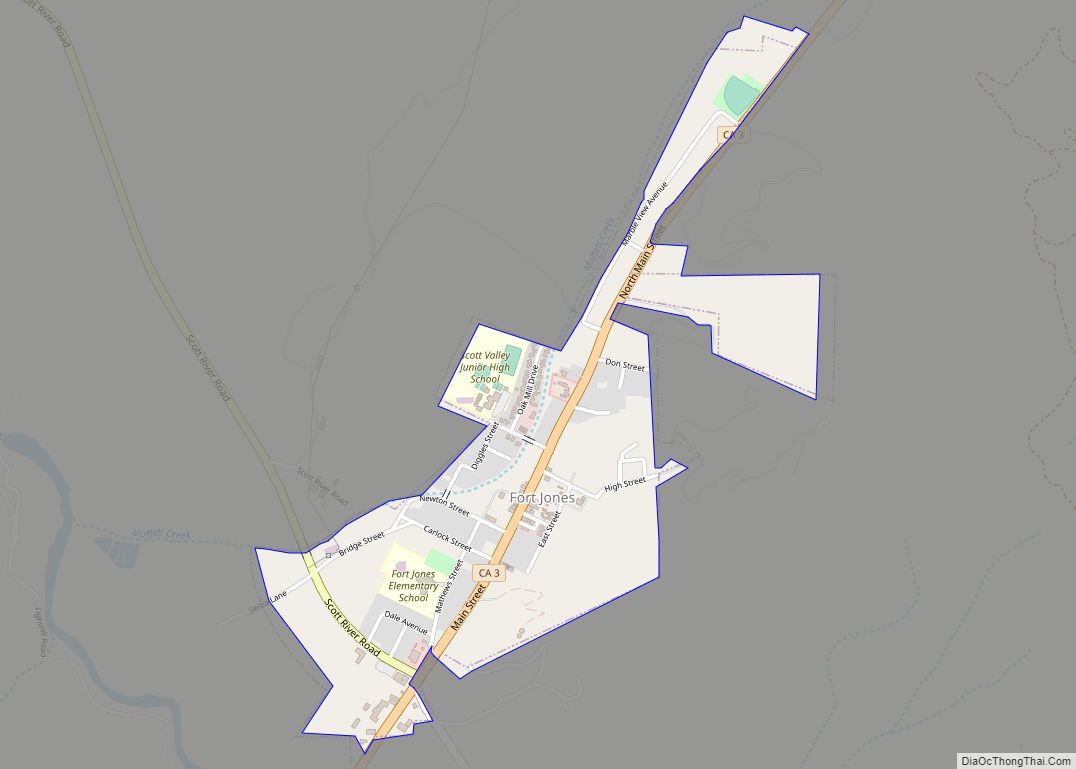
- Fort Jones: 17.2 miles (27.7 km) southwest
- Klamath River: 24.3 miles (39.1 km) northwest
- Hornbrook: 15.1 miles (24.3 km) north
See also
Map of California State and its subdivision:- Alameda
- Alpine
- Amador
- Butte
- Calaveras
- Colusa
- Contra Costa
- Del Norte
- El Dorado
- Fresno
- Glenn
- Humboldt
- Imperial
- Inyo
- Kern
- Kings
- Lake
- Lassen
- Los Angeles
- Madera
- Marin
- Mariposa
- Mendocino
- Merced
- Modoc
- Mono
- Monterey
- Napa
- Nevada
- Orange
- Placer
- Plumas
- Riverside
- Sacramento
- San Benito
- San Bernardino
- San Diego
- San Francisco
- San Joaquin
- San Luis Obispo
- San Mateo
- Santa Barbara
- Santa Clara
- Santa Cruz
- Shasta
- Sierra
- Siskiyou
- Solano
- Sonoma
- Stanislaus
- Sutter
- Tehama
- Trinity
- Tulare
- Tuolumne
- Ventura
- Yolo
- Yuba
- Alabama
- Alaska
- Arizona
- Arkansas
- California
- Colorado
- Connecticut
- Delaware
- District of Columbia
- Florida
- Georgia
- Hawaii
- Idaho
- Illinois
- Indiana
- Iowa
- Kansas
- Kentucky
- Louisiana
- Maine
- Maryland
- Massachusetts
- Michigan
- Minnesota
- Mississippi
- Missouri
- Montana
- Nebraska
- Nevada
- New Hampshire
- New Jersey
- New Mexico
- New York
- North Carolina
- North Dakota
- Ohio
- Oklahoma
- Oregon
- Pennsylvania
- Rhode Island
- South Carolina
- South Dakota
- Tennessee
- Texas
- Utah
- Vermont
- Virginia
- Washington
- West Virginia
- Wisconsin
- Wyoming