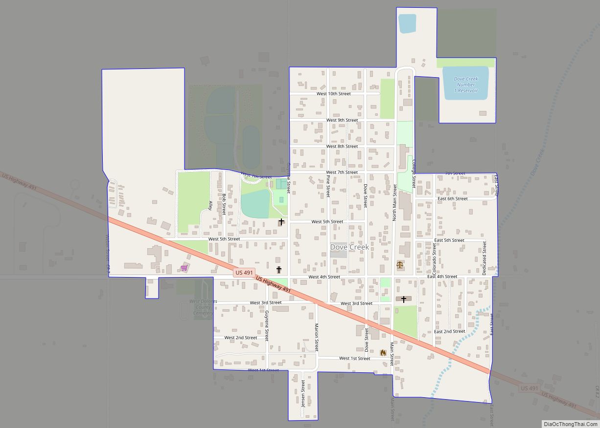
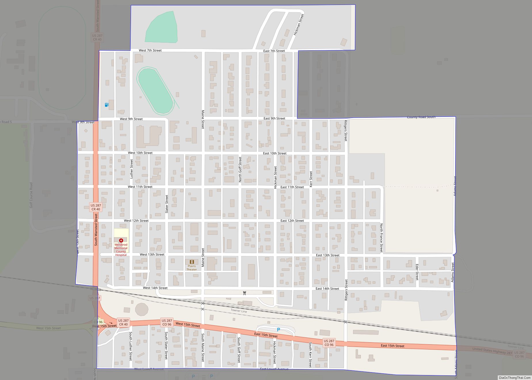
Map of Dotsero CDP

Map of Dotsero CDP

Dotsero is an unincorporated community and a census-designated place (CDP) located in and governed by Eagle County, Colorado, United States. The CDP is a part of the Edwards, CO Micropolitan Statistical Area. The population of the Dotsero CDP was 1,172 at the United States Census 2020. The Gypsum post office (Zip Code 81637) serves the … Read more

Map of Dolores town

Map of Dolores town

The Town of Dolores is a Statutory Town located in Montezuma County, Colorado, United States. The town population was 885 at the 2020 United States Census. Dolores town overview: Name: Dolores town LSAD Code: 43 LSAD Description: town (suffix) State: Colorado County: Montezuma County Incorporated: July 19, 1900 Elevation: 6,936 ft (2,114 m) Total Area: 0.664 sq mi (1.721 km²) … Read more

Map of Durango city

Map of Durango city, Colorado

Durango is a home rule municipality that is the county seat and the most populous municipality of La Plata County, Colorado, United States. The city population was 19,071 at the 2020 United States Census. Durango is the home of Fort Lewis College. Durango city overview: Name: Durango city LSAD Code: 25 LSAD Description: city (suffix) … Read more

Map of Downieville-Lawson-Dumont CDP

Map of Downieville-Lawson-Dumont CDP

Downieville-Lawson-Dumont is a census-designated place (CDP) comprising the unincorporated communities of Downieville, Lawson, and Dumont located in and governed by Clear Creek County, Colorado, United States. The CDP is a part of the Denver–Aurora–Lakewood, CO Metropolitan Statistical Area. The Dumont post office ZIP code 80436 (post office boxes) serves the area. At the United States … Read more

Map of Dove Valley CDP

Map of Dove Valley CDP

Dove Valley is an unincorporated community and a census-designated place (CDP) located in and governed by Arapahoe County, Colorado, United States. The CDP is a part of the Denver–Aurora–Lakewood, CO Metropolitan Statistical Area. The population of the Dove Valley CDP was 5,640 at the United States Census 2020. The Dove Valley Metropolitan District provides services … Read more

Map of East Pleasant View CDP

Map of East Pleasant View CDP

East Pleasant View is an unincorporated community and a census-designated place (CDP) located in and governed by Jefferson County, Colorado, United States. The CDP is a part of the Denver–Aurora–Lakewood, CO Metropolitan Statistical Area. The population of the East Pleasant View CDP was 333 at the United States Census 2020. The Pleasant View Metropolitan District … Read more

Map of Eagle town, Colorado

Map of Eagle town, Colorado

The Town of Eagle is the Statutory Town that is the county seat of Eagle County, Colorado, United States. The town population was 7,511 at the 2020 United States Census, a +15.41% increase since the 2010 United States Census. Eagle is the part of the Edwards, CO Micropolitan Statistical Area. The town has an extensive … Read more

Map of Eads town

Map of Eads town

Eads is the Statutory Town that is the county seat and the most populous municipality of Kiowa County, Colorado, United States. The town population was 672 at the 2020 United States Census. Eads town overview: Name: Eads town LSAD Code: 43 LSAD Description: town (suffix) State: Colorado County: Kiowa County Elevation: 4,219 ft (1,286 m) Total Area: … Read more

Map of Edgewater city, Colorado

Map of Edgewater city, Colorado

The City of Edgewater is a home rule municipality located in Jefferson County, Colorado, United States. The city population was 5,005 at the 2020 United States Census. Edgewater is surrounded by Denver to the east, Lakewood to the south and west, and Wheat Ridge to the north. The city is a part of the Denver–Aurora–Lakewood, … Read more

Map of Eckley town

Map of Eckley town

The Town of Eckley is a statutory town located in Yuma County, Colorado, United States. The town population was 232 at the 2020 United States Census. Eckley town overview: Name: Eckley town LSAD Code: 43 LSAD Description: town (suffix) State: Colorado County: Yuma County Elevation: 3,907 ft (1,191 m) Total Area: 0.473 sq mi (1.225 km²) Land Area: 0.473 sq mi (1.225 km²) … Read more

Map of Eaton town

Map of Eaton town, Colorado

The Town of Eaton is a Statutory Town located in Weld County, Colorado, United States. The town population was 5,802 at the 2020 United States Census, a +32.92% increase since the 2010 United States Census. Eaton is a part of the Greeley, CO Metropolitan Statistical Area and the Front Range Urban Corridor. Eaton town overview: … Read more

Map of El Jebel CDP

Map of El Jebel CDP

El Jebel is an unincorporated community and a census-designated place (CDP) located in and governed by Eagle County, Colorado, United States. The CDP is a part of the Edwards, CO Micropolitan Statistical Area. The population of the El Jebel CDP was 4,130 at the United States Census 2020. The Carbondale Post Office (ZIP Code 81623) … Read more