Dove Creek is a statutory town that is the county seat and the most populous municipality of Dolores County, Colorado, United States. The town population was 635 at the 2020 United States Census. The community takes its name from the nearby Dove Creek. Dove Creek is the self-proclaimed Pinto Bean Capital of the World.
| Name: | Dove Creek town |
|---|---|
| LSAD Code: | 43 |
| LSAD Description: | town (suffix) |
| State: | Colorado |
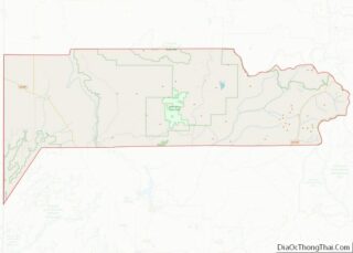
| County: | Dolores County |
| Incorporated: | June 15, 1939 |
| Elevation: | 6,844 ft (2,086 m) |
| Total Area: | 0.573 sq mi (1.483 km²) |
| Land Area: | 0.573 sq mi (1.483 km²) |
| Water Area: | 0.000 sq mi (0.000 km²) |
| Total Population: | 635 |
| Population Density: | 1,109/sq mi (428/km²) |
| ZIP code: | 81324 |
| Area code: | 970 |
| FIPS code: | 0821265 |
| Website: | townofdovecreek.colorado.gov |
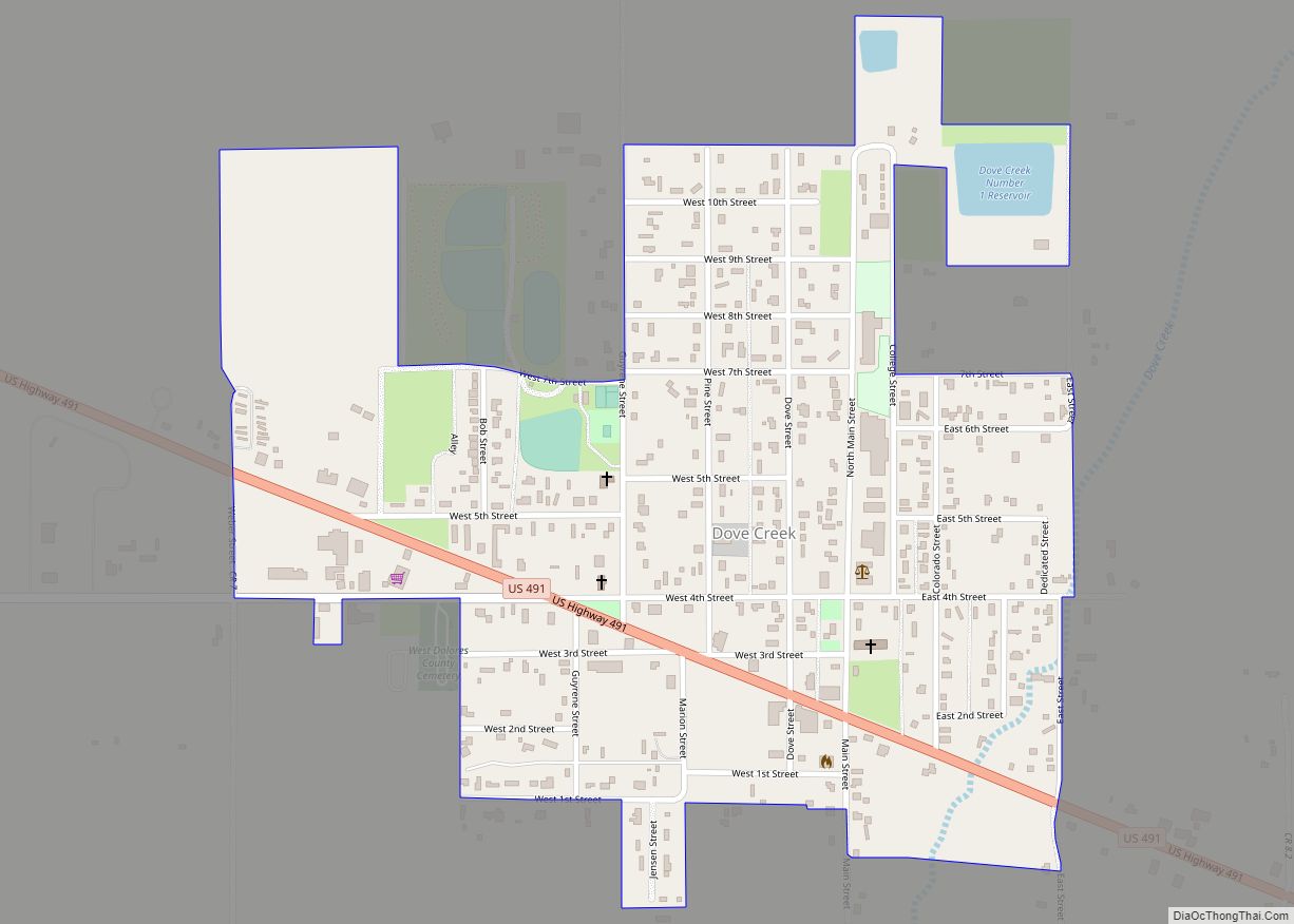
Online Interactive Map
Click on ![]() to view map in "full screen" mode.
to view map in "full screen" mode.
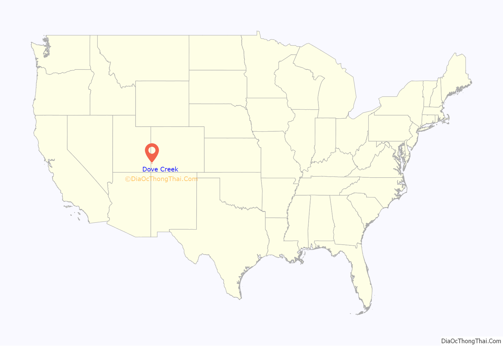
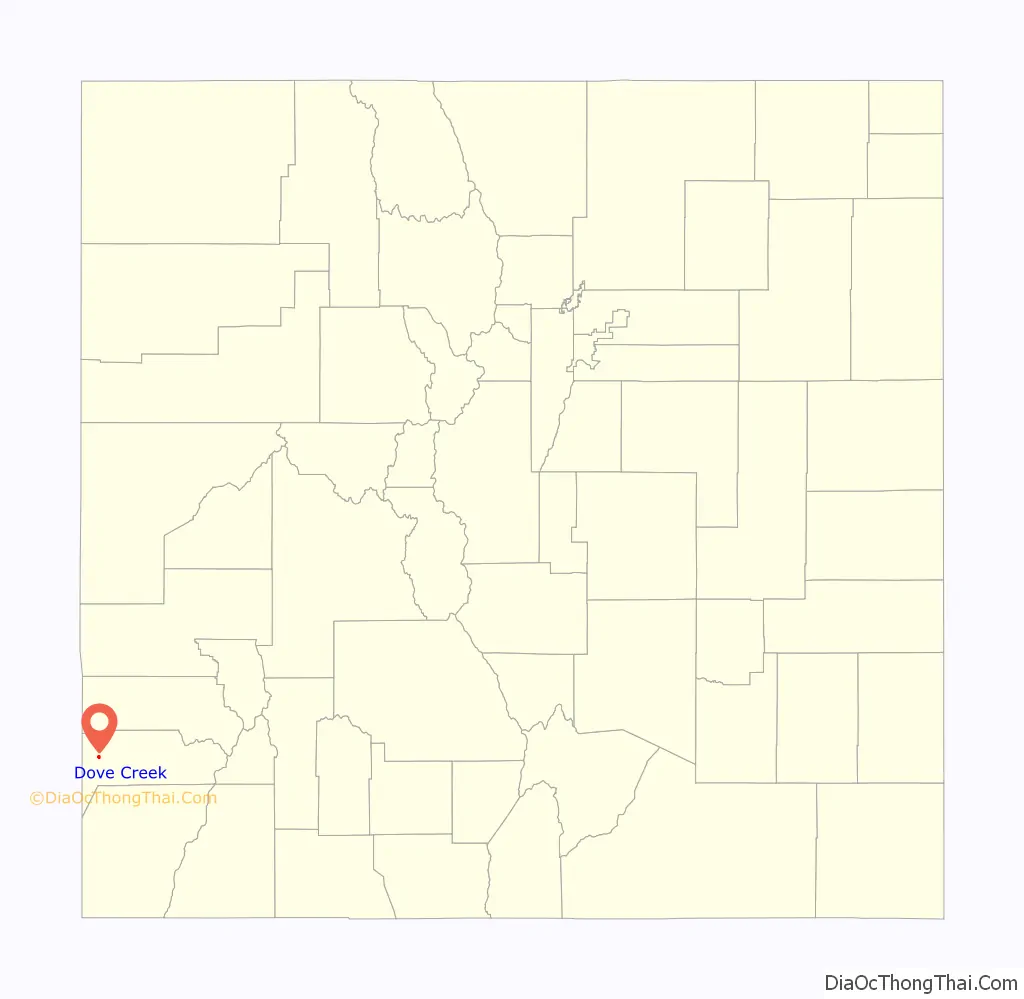
Dove Creek location map. Where is Dove Creek town?
History
The Old Spanish Trail trade route passed through the area of Dove Creek from 1829 into the 1850s.
A post office at Dove Creek has been in operation since 1915.
There are several area prehistoric and historic sites listed on the Colorado State Register of Historic Properties:
- Brewer Archaeological District of two large prehistoric settlement sites: Brewer Mesa Pueblo (11th century) and Brewer Canyon Pueblo (13th century)
- Glade Ranger Station, dated before 1910
- P.R. Butt & Sons Building, built in 1914, generally considered the town’s second building
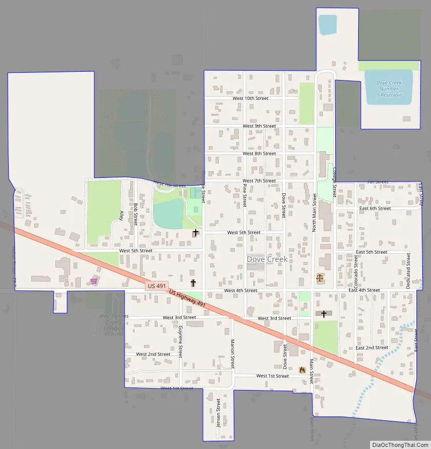
Dove Creek Road Map
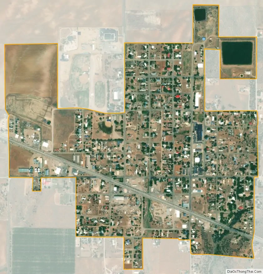
Dove Creek city Satellite Map
Geography
Dove Creek is located in western Dolores County at 37°45′58″N 108°54′20″W / 37.76611°N 108.90556°W / 37.76611; -108.90556 (37.765994, -108.905691).
At the 2020 United States Census, the town had a total area of 366 acres (1.483 km), all of it land.
The town is located on US 491 (formerly US 666) at the crossing of Dove Creek, the town’s namesake. Dove Creek flows south to Cross Canyon, Montezuma Creek, Utah, and the San Juan River. The town is located on the northern portion of the Great Sage Plain, a large plateau covered in desert lands, bounded by the La Plata Mountains, Mesa Verde National Park, the La Sal Mountains, and the Abajo Mountains, and cut by dozens of deep canyons, which was and is a productive agricultural region. The plateau is dotted with numerous ruins of the Anasazi and other ancient people who took advantage of good soils and terrain, even with limited water resources.
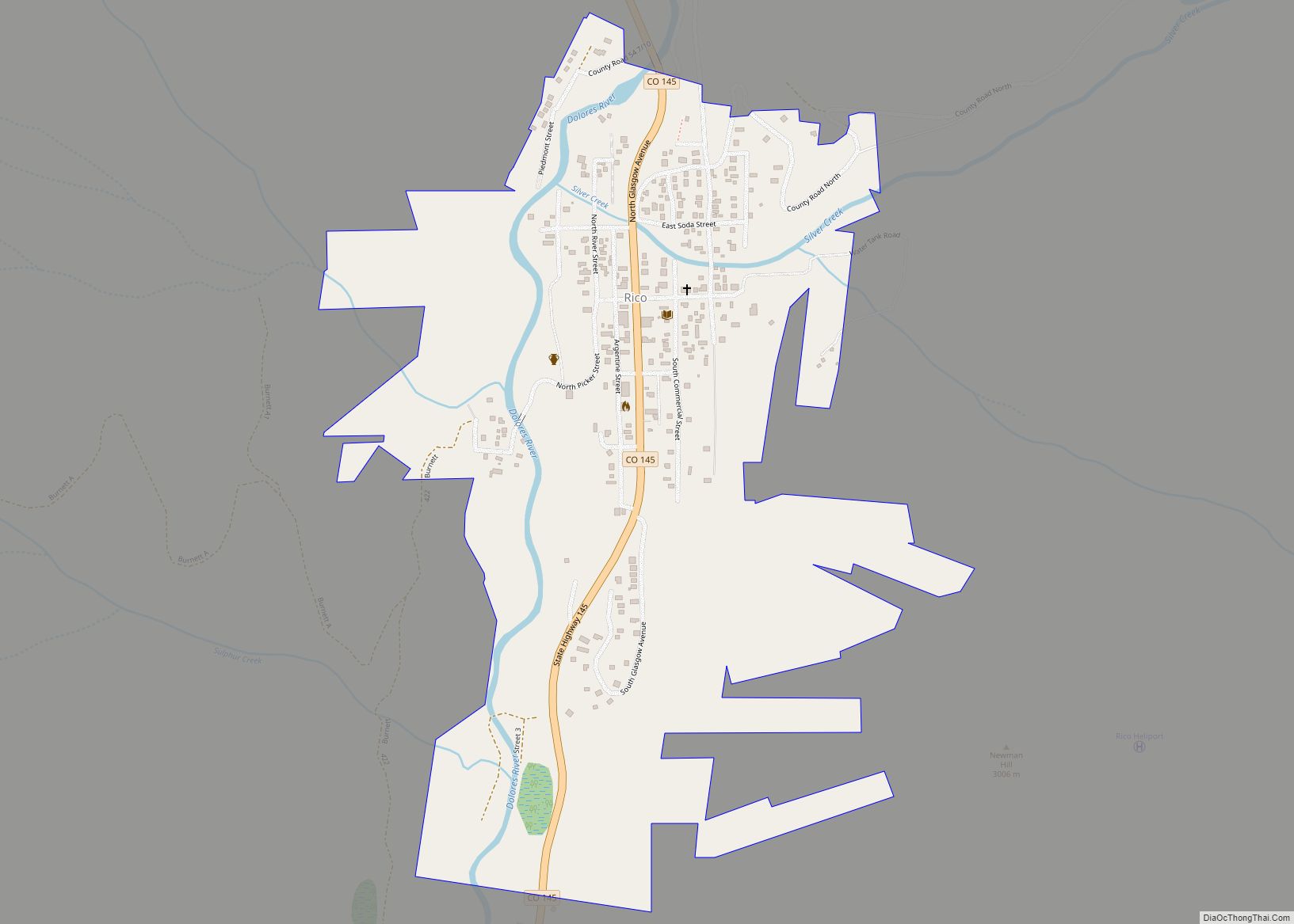
The Dolores County Courthouse, built in 1957, replaces a temporary courthouse in the town used after voters of the county moved the county seat from Rico to Dove Creek in 1947, reflecting a shift in the original mining-oriented make-up of the county’s population to the current situation in which farmers and a few ranchers outnumber the mountain-dwellers in the old mining districts of the eastern end of Dolores County. The courthouse is adjacent to Dolores County High School, and is part of the old business district located north of US 491; most business is now located on US 491 as it angles through the town from east-southeast to west-northwest. A regional landmark is the large concrete bean elevator located on the west edge of town, near the Dolores County Industrial Park. SH 141 intersects US 491 just west of town, and provides access to the Paradox Valley, Nucla-Naturita, and the uranium mining and industrial area of Montrose County, Colorado, and Grand County, Utah.
See also
Map of Colorado State and its subdivision:- Adams
- Alamosa
- Arapahoe
- Archuleta
- Baca
- Bent
- Boulder
- Broomfield
- Chaffee
- Cheyenne
- Clear Creek
- Conejos
- Costilla
- Crowley
- Custer
- Delta
- Denver
- Dolores
- Douglas
- Eagle
- El Paso
- Elbert
- Fremont
- Garfield
- Gilpin
- Grand
- Gunnison
- Hinsdale
- Huerfano
- Jackson
- Jefferson
- Kiowa
- Kit Carson
- La Plata
- Lake
- Larimer
- Las Animas
- Lincoln
- Logan
- Mesa
- Mineral
- Moffat
- Montezuma
- Montrose
- Morgan
- Otero
- Ouray
- Park
- Phillips
- Pitkin
- Prowers
- Pueblo
- Rio Blanco
- Rio Grande
- Routt
- Saguache
- San Juan
- San Miguel
- Sedgwick
- Summit
- Teller
- Washington
- Weld
- Yuma
- Alabama
- Alaska
- Arizona
- Arkansas
- California
- Colorado
- Connecticut
- Delaware
- District of Columbia
- Florida
- Georgia
- Hawaii
- Idaho
- Illinois
- Indiana
- Iowa
- Kansas
- Kentucky
- Louisiana
- Maine
- Maryland
- Massachusetts
- Michigan
- Minnesota
- Mississippi
- Missouri
- Montana
- Nebraska
- Nevada
- New Hampshire
- New Jersey
- New Mexico
- New York
- North Carolina
- North Dakota
- Ohio
- Oklahoma
- Oregon
- Pennsylvania
- Rhode Island
- South Carolina
- South Dakota
- Tennessee
- Texas
- Utah
- Vermont
- Virginia
- Washington
- West Virginia
- Wisconsin
- Wyoming