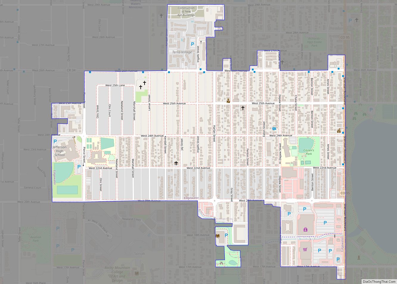
The City of Edgewater is a home rule municipality located in Jefferson County, Colorado, United States. The city population was 5,005 at the 2020 United States Census. Edgewater is surrounded by Denver to the east, Lakewood to the south and west, and Wheat Ridge to the north. The city is a part of the Denver–Aurora–Lakewood, CO Metropolitan Statistical Area and the Front Range Urban Corridor.
| Name: | Edgewater city |
|---|---|
| LSAD Code: | 25 |
| LSAD Description: | city (suffix) |
| State: | Colorado |
| County: | Jefferson County |
| Incorporated: | November 5, 1904 |
| Elevation: | 5,381 ft (1,640 m) |
| Total Area: | 0.695 sq mi (1.799 km²) |
| Land Area: | 0.695 sq mi (1.799 km²) |
| Water Area: | 0.000 sq mi (0.000 km²) |
| Total Population: | 5,005 |
| Population Density: | 7,206/sq mi (2,782/km²) |
| ZIP code: | 80214 |
| Area code: | Both 303 and 720 |
| FIPS code: | 0823135 |
| GNISfeature ID: | 0202848 |
| Website: | edgewaterco.com |
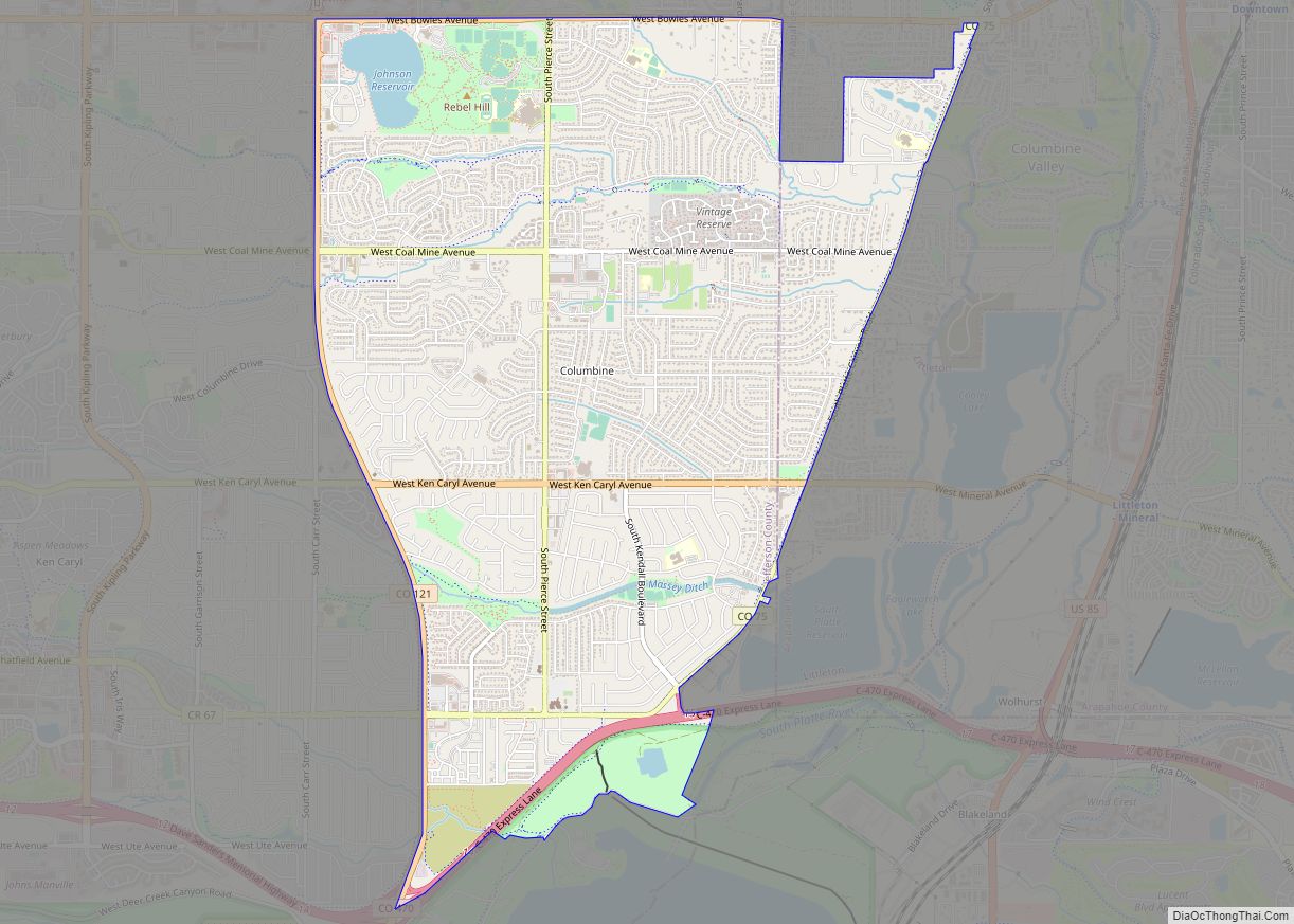
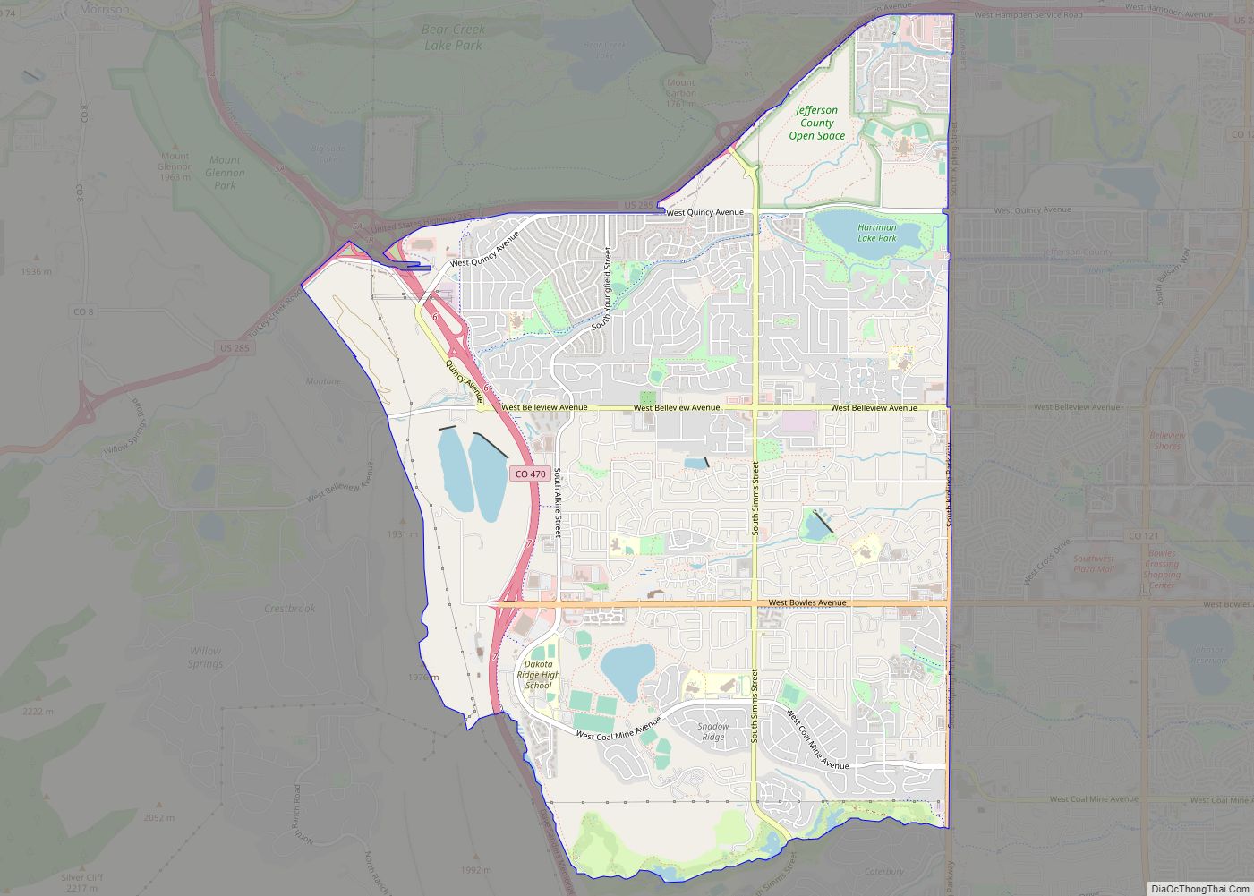
Online Interactive Map
Click on ![]() to view map in "full screen" mode.
to view map in "full screen" mode.
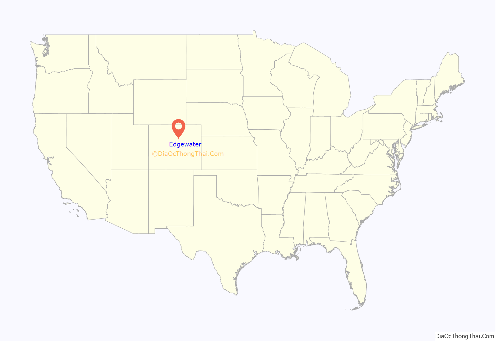
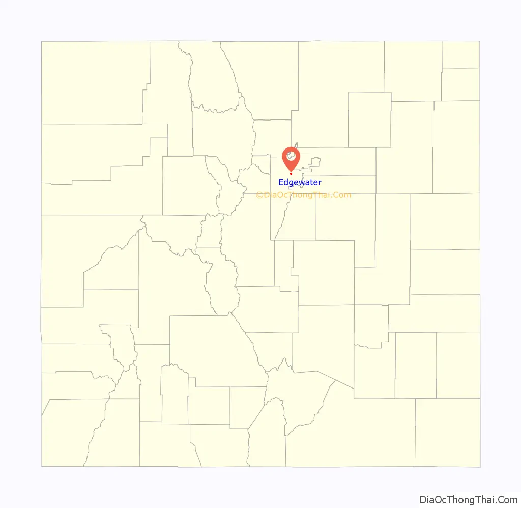
Edgewater location map. Where is Edgewater city?
History
Edgewater was named for its lakefront location at Sloan’s Lake. The town was incorporated in 1901.
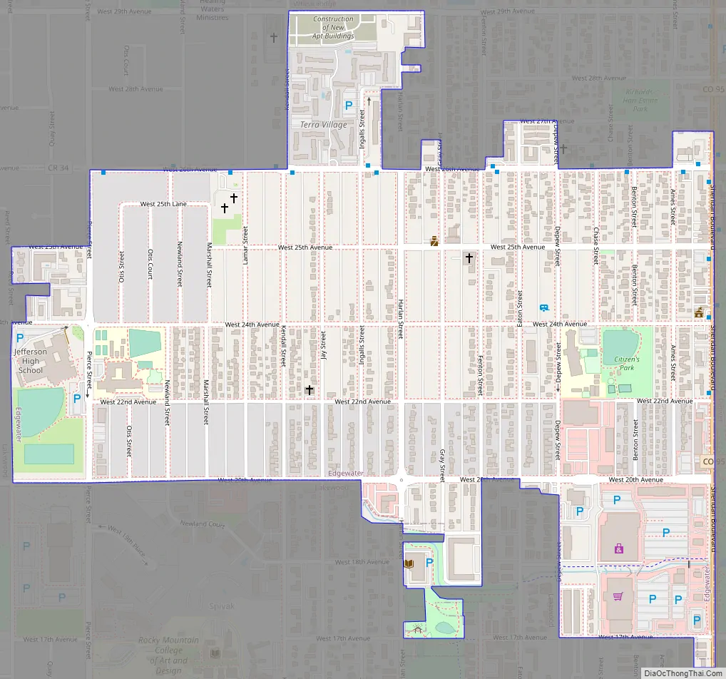
Edgewater Road Map
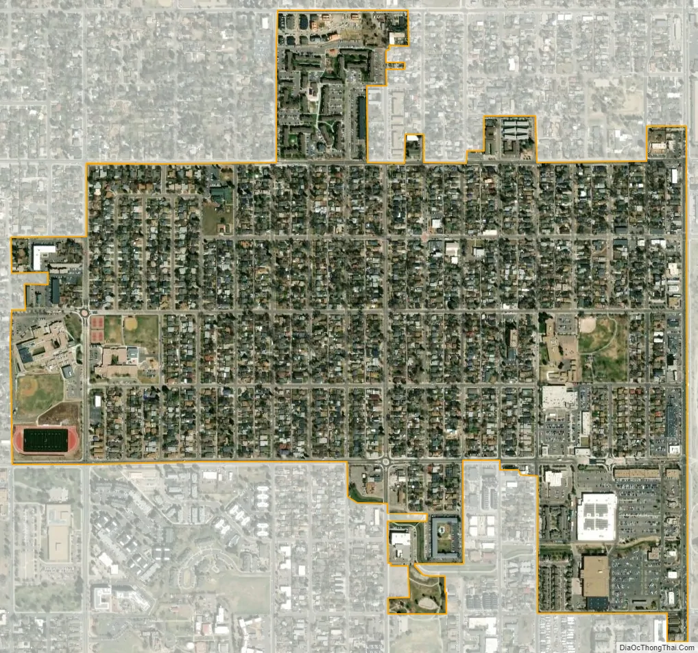
Edgewater city Satellite Map
Geography
At the 2020 United States Census, the town had a total area of 445 acres (1.799 km), all of it land. Sloan’s Lake, a pond that once extended into Edgewater, now lies entirely within the city limits of Denver just to the east of Edgewater.
Climate
Edgewater features a Semi-arid climate, with low annual precipitation. Due to Edgewater bordering the city and county of Denver, the climates are almost exactly the same, with only a few differences. Annual snowfall is generally a bit less in Edgewater, and the high temperatures are also a few degrees warmer, due to the fact that Denver temperatures are recorded at the Denver International Airport, which is actually east of the Denver metro area.
Summers are hot and dry, while winters can vary from cool to cold, with snowfall not uncommon in winter months. However, snowfall is short lived in arid and sunny climates, usually melting in a day or sometimes before nightfall. Normal summer highs range from the upper 80s (°F) to the mid 90s, with upper 90 °F (32 °C) days very common, and even a few days over 100 °F (38 °C) as well. Normal winter highs range from the mid 40s to the mid 50s, with upper 50 °F (10 °C) and lower 60 °F (16 °C) days very common as well. Sunshine is abundant throughout the year, averaging over 300 days of sun per year.
See also
Map of Colorado State and its subdivision:- Adams
- Alamosa
- Arapahoe
- Archuleta
- Baca
- Bent
- Boulder
- Broomfield
- Chaffee
- Cheyenne
- Clear Creek
- Conejos
- Costilla
- Crowley
- Custer
- Delta
- Denver
- Dolores
- Douglas
- Eagle
- El Paso
- Elbert
- Fremont
- Garfield
- Gilpin
- Grand
- Gunnison
- Hinsdale
- Huerfano
- Jackson
- Jefferson
- Kiowa
- Kit Carson
- La Plata
- Lake
- Larimer
- Las Animas
- Lincoln
- Logan
- Mesa
- Mineral
- Moffat
- Montezuma
- Montrose
- Morgan
- Otero
- Ouray
- Park
- Phillips
- Pitkin
- Prowers
- Pueblo
- Rio Blanco
- Rio Grande
- Routt
- Saguache
- San Juan
- San Miguel
- Sedgwick
- Summit
- Teller
- Washington
- Weld
- Yuma
- Alabama
- Alaska
- Arizona
- Arkansas
- California
- Colorado
- Connecticut
- Delaware
- District of Columbia
- Florida
- Georgia
- Hawaii
- Idaho
- Illinois
- Indiana
- Iowa
- Kansas
- Kentucky
- Louisiana
- Maine
- Maryland
- Massachusetts
- Michigan
- Minnesota
- Mississippi
- Missouri
- Montana
- Nebraska
- Nevada
- New Hampshire
- New Jersey
- New Mexico
- New York
- North Carolina
- North Dakota
- Ohio
- Oklahoma
- Oregon
- Pennsylvania
- Rhode Island
- South Carolina
- South Dakota
- Tennessee
- Texas
- Utah
- Vermont
- Virginia
- Washington
- West Virginia
- Wisconsin
- Wyoming