Eads is the Statutory Town that is the county seat and the most populous municipality of Kiowa County, Colorado, United States. The town population was 672 at the 2020 United States Census.
| Name: | Eads town |
|---|---|
| LSAD Code: | 43 |
| LSAD Description: | town (suffix) |
| State: | Colorado |
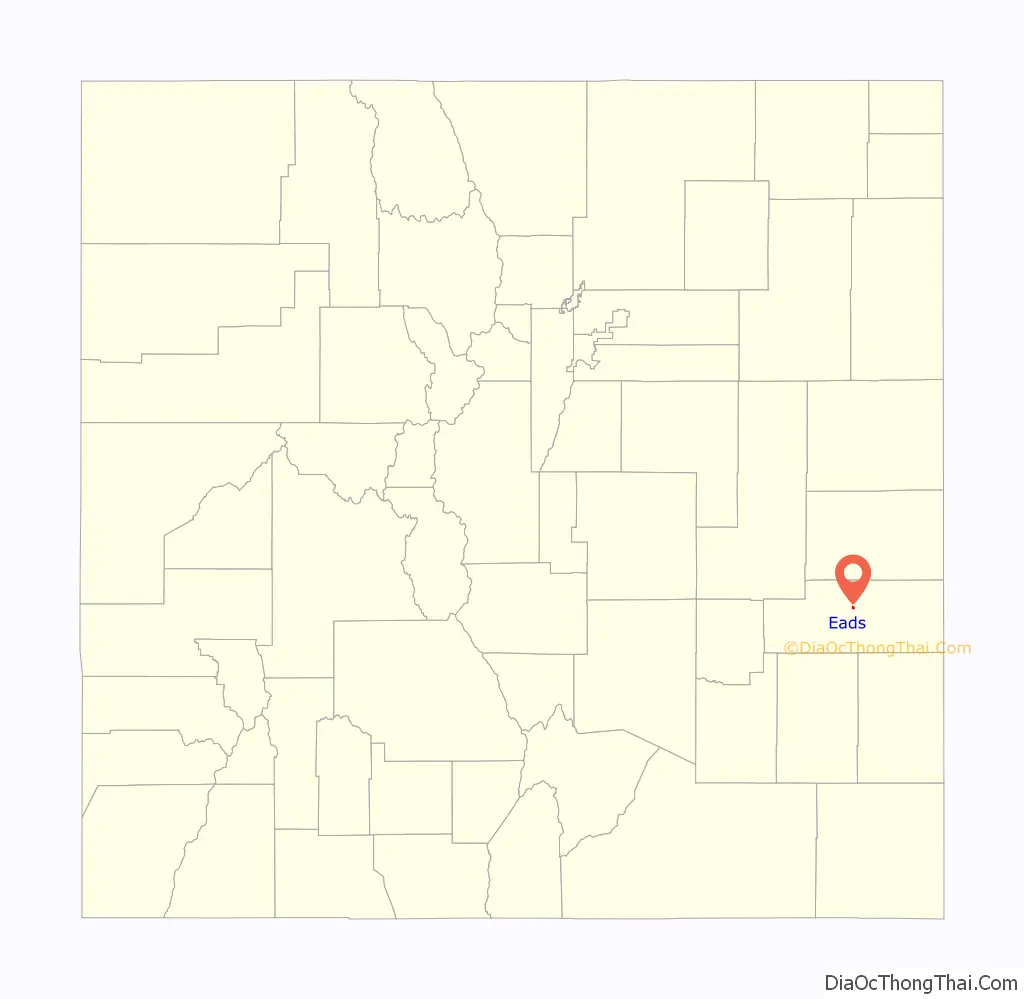
| County: | Kiowa County |
| Elevation: | 4,219 ft (1,286 m) |
| Total Area: | 0.478 sq mi (1.237 km²) |
| Land Area: | 0.478 sq mi (1.237 km²) |
| Water Area: | 0.000 sq mi (0.000 km²) |
| Total Population: | 672 |
| Population Density: | 1,407/sq mi (543/km²) |
| ZIP code: | 81036 |
| Area code: | 719 |
| FIPS code: | 0822145 |
| GNISfeature ID: | 0204823 |
| Website: | www.kcedfonline.org/eads.htm |
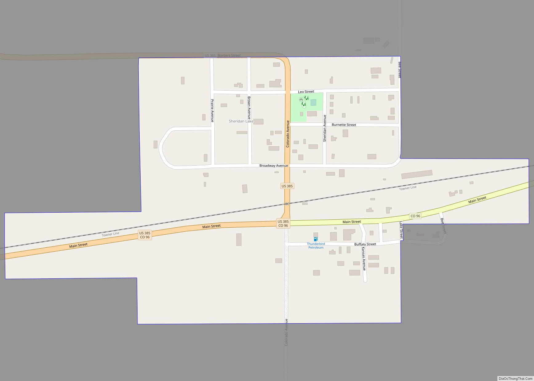
Online Interactive Map
Click on ![]() to view map in "full screen" mode.
to view map in "full screen" mode.
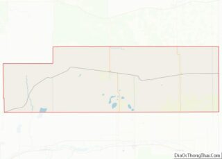
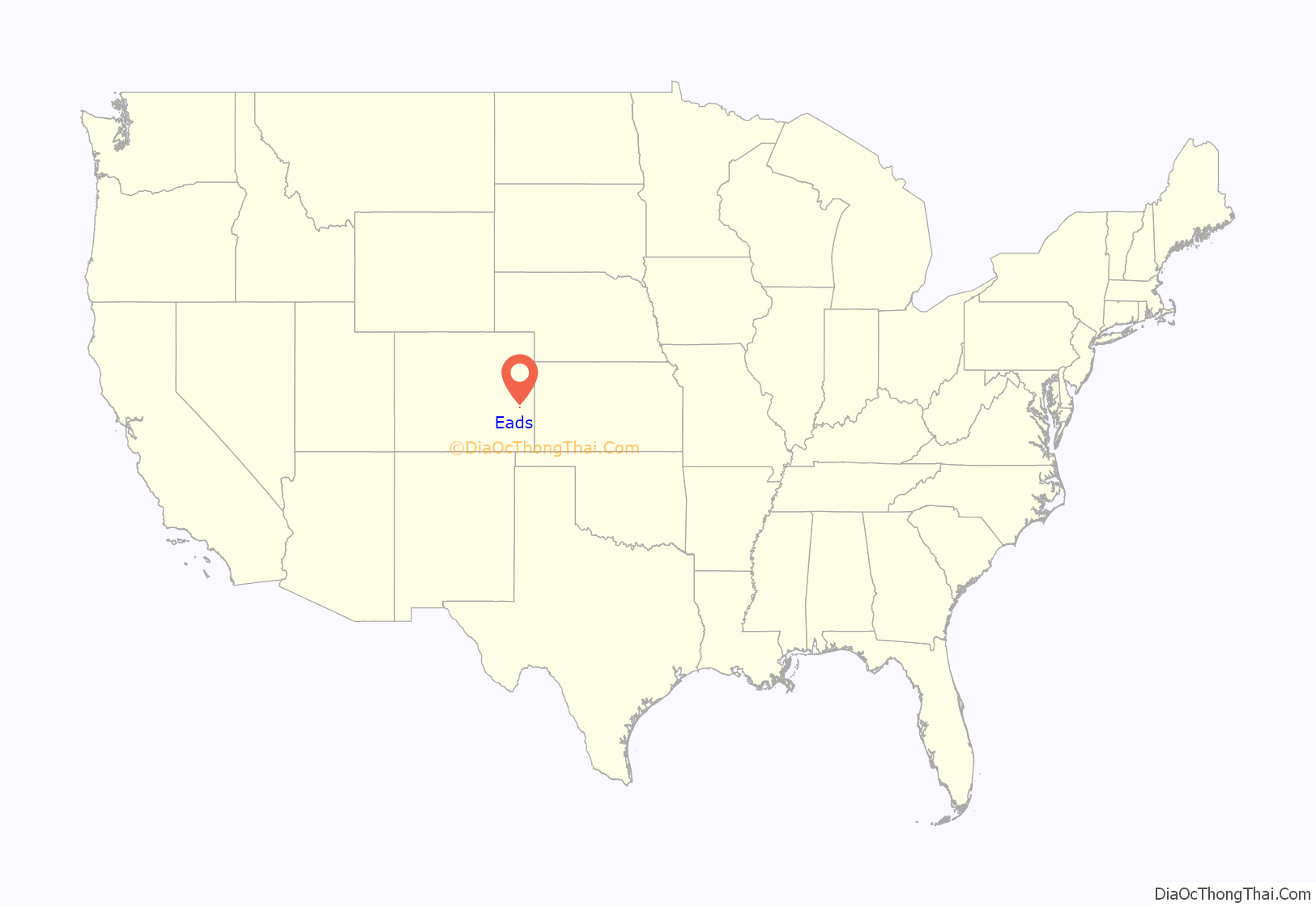
Eads location map. Where is Eads town?
History
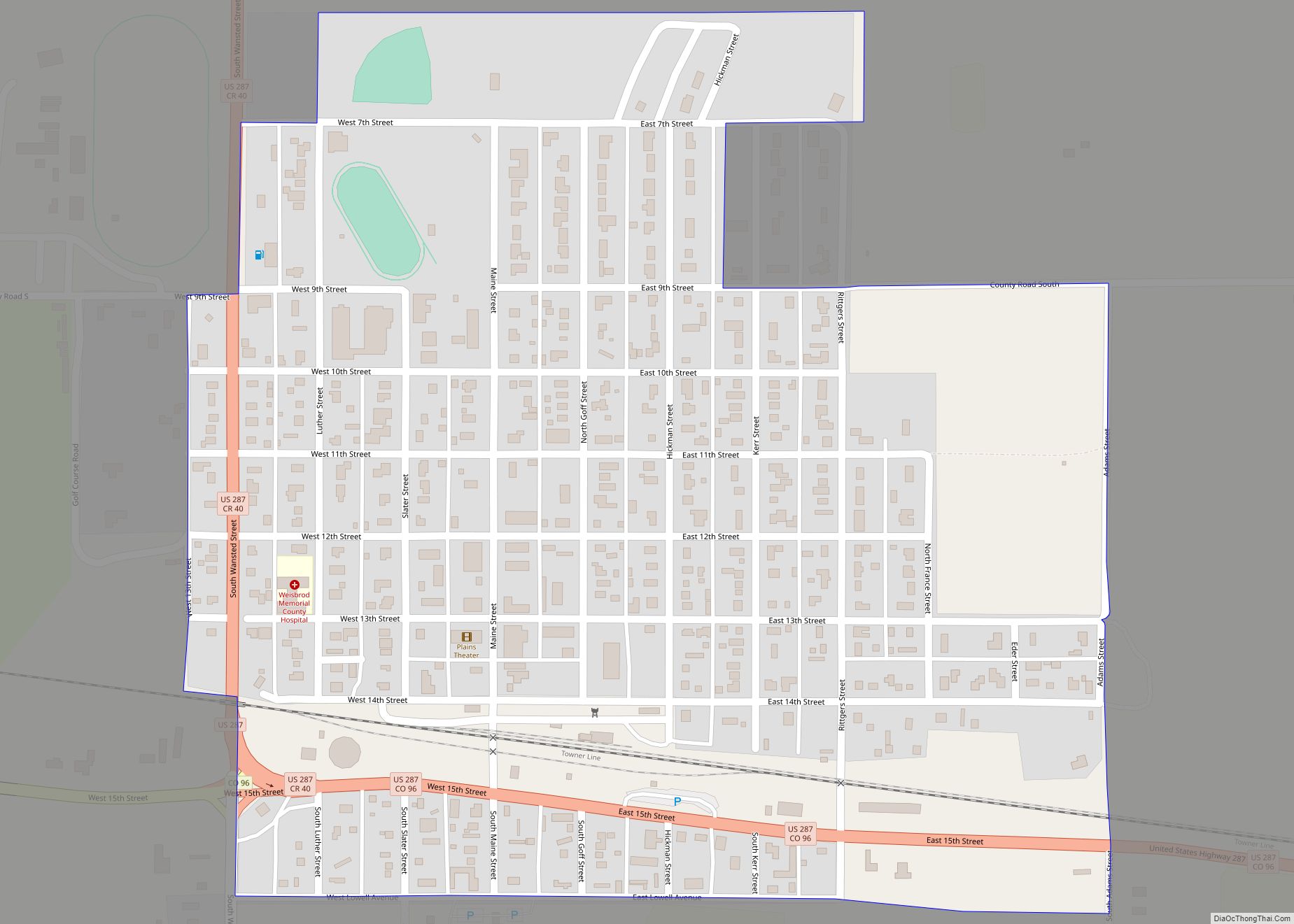
Eads has been the seat of Kiowa County since 1901. Eads was established in 1887 as a railroad town and was named after James Buchanan Eads, a structural engineer with the Missouri Pacific Railroad, who designed and built the Eads Bridge over the Mississippi River at St. Louis in 1874 and went on to design and build the system of levees on the Mississippi Delta which made the river navigable by ocean-going vessels. In the town, there are many historic houses and buildings that are still in use to this day; on Maine Street, there are many places to visit to learn more about the town’s history. Since 2007, there is an annual event where the local businesses of Eads are supported called the Maine street bash; it includes many activities and live performances.
The original name of Eads was Dayton.
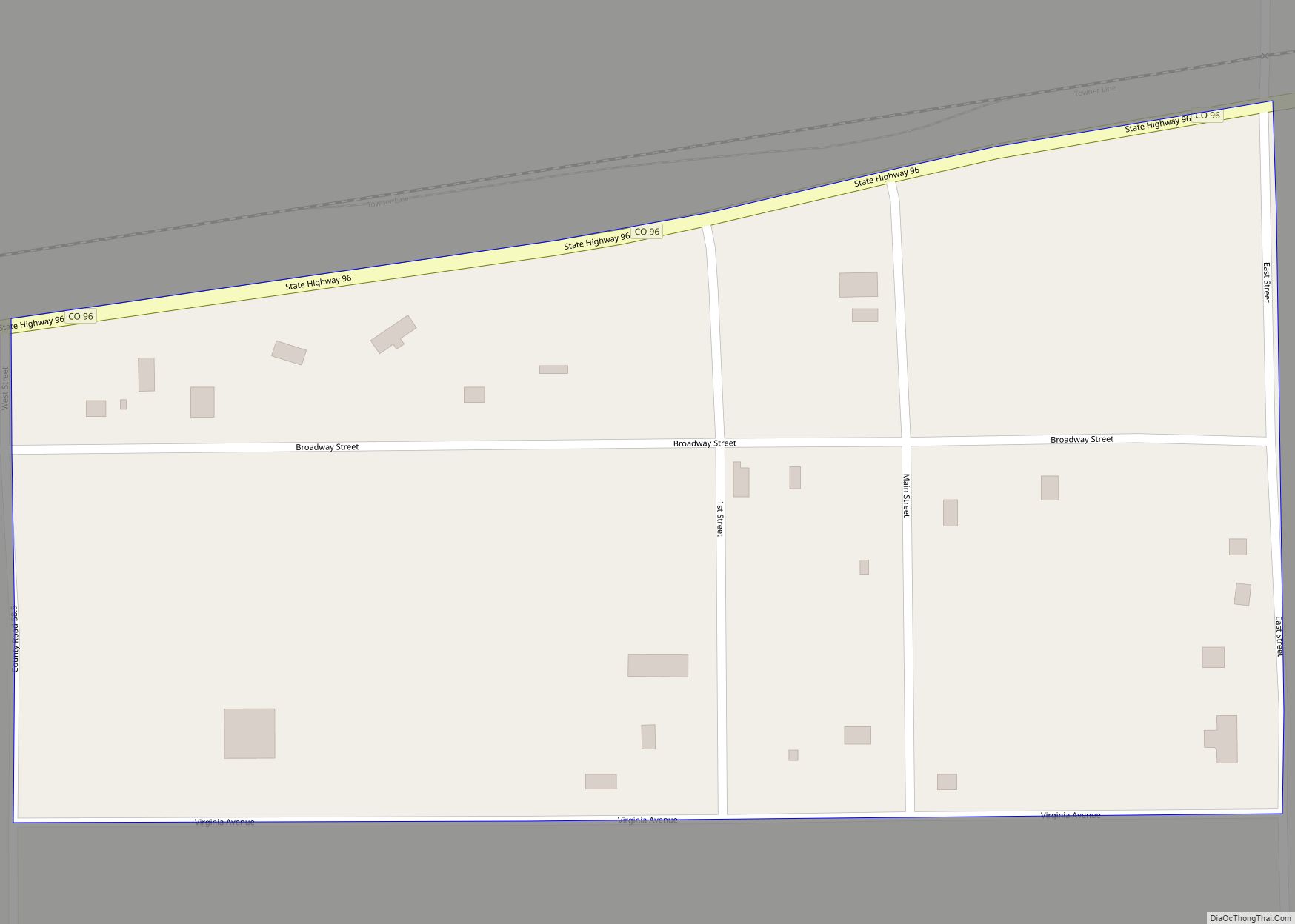
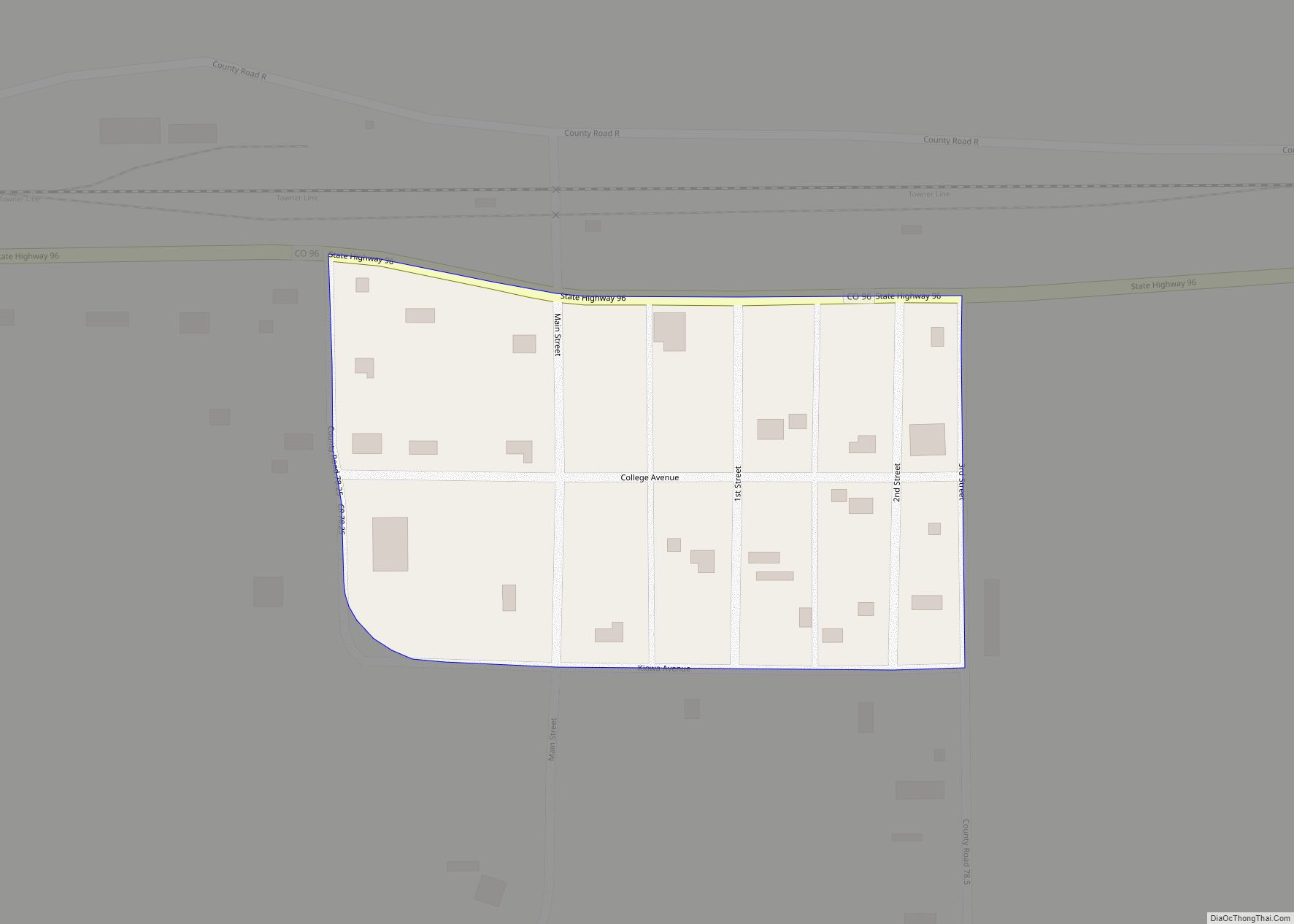
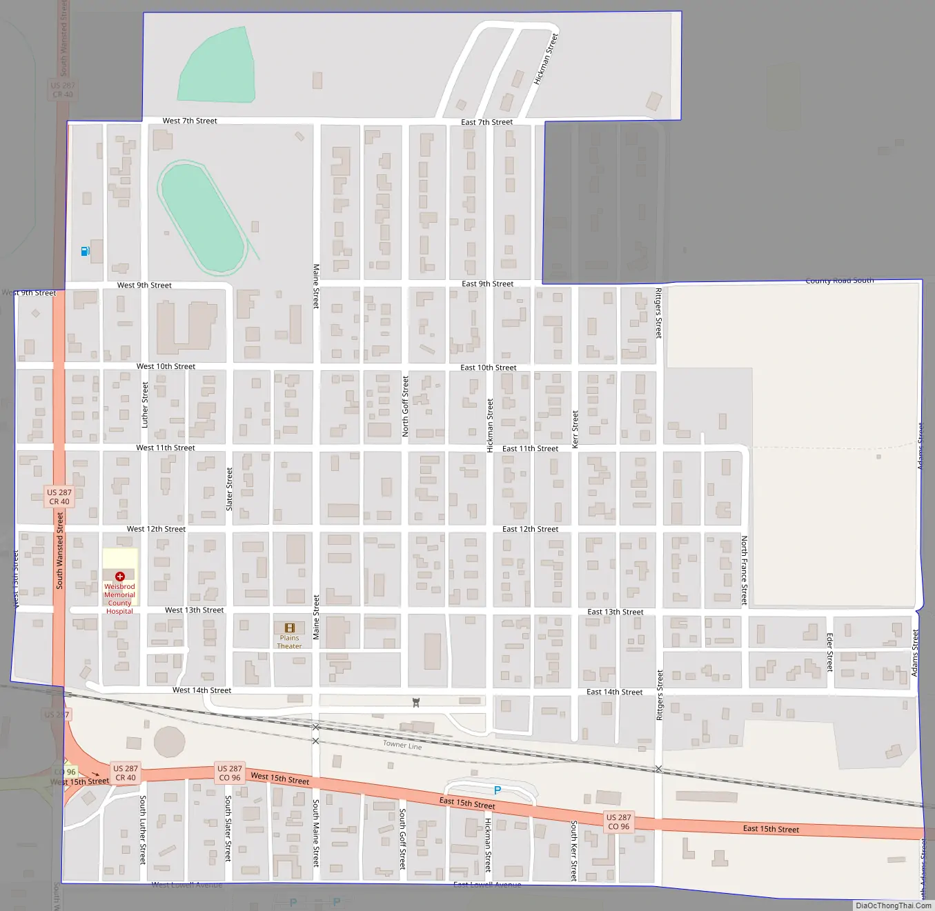
Eads Road Map
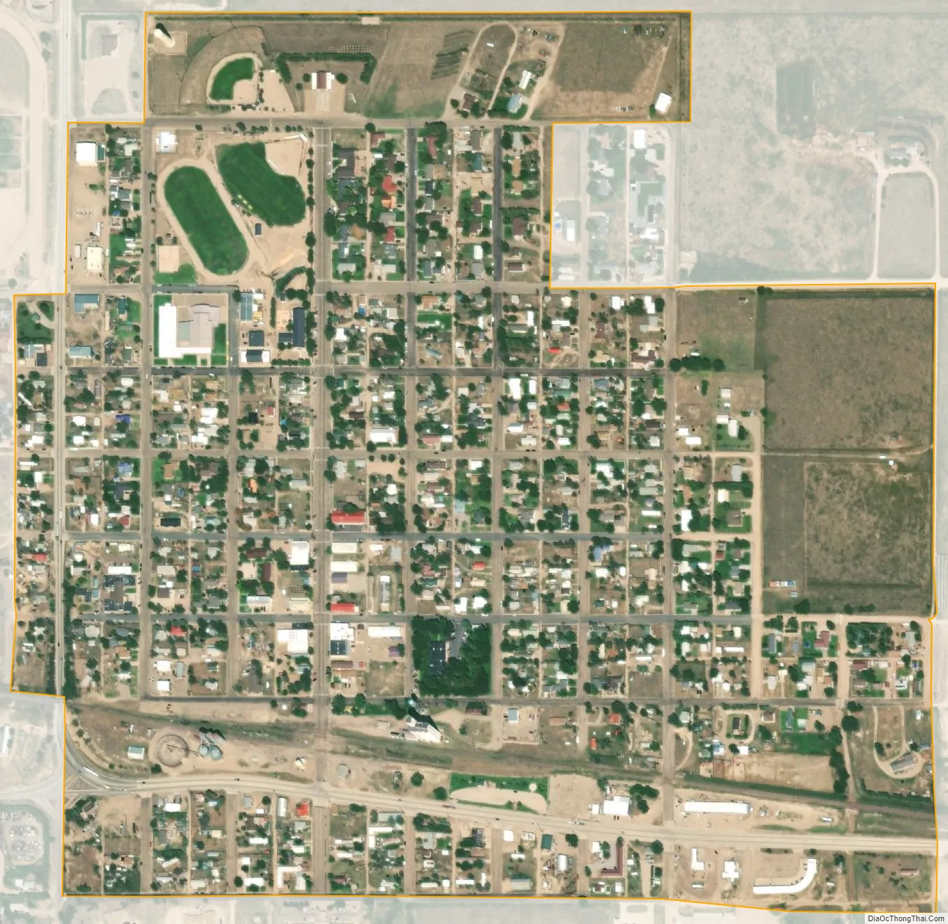
Eads city Satellite Map
Geography
Eads is located at 38°28′50″N 102°46′51″W / 38.48056°N 102.78083°W / 38.48056; -102.78083 (38.480465, −102.780763). At the 2020 United States Census, the town had a total area of 306 acres (1.237 km), all of it land.
Climate
See also
Map of Colorado State and its subdivision:- Adams
- Alamosa
- Arapahoe
- Archuleta
- Baca
- Bent
- Boulder
- Broomfield
- Chaffee
- Cheyenne
- Clear Creek
- Conejos
- Costilla
- Crowley
- Custer
- Delta
- Denver
- Dolores
- Douglas
- Eagle
- El Paso
- Elbert
- Fremont
- Garfield
- Gilpin
- Grand
- Gunnison
- Hinsdale
- Huerfano
- Jackson
- Jefferson
- Kiowa
- Kit Carson
- La Plata
- Lake
- Larimer
- Las Animas
- Lincoln
- Logan
- Mesa
- Mineral
- Moffat
- Montezuma
- Montrose
- Morgan
- Otero
- Ouray
- Park
- Phillips
- Pitkin
- Prowers
- Pueblo
- Rio Blanco
- Rio Grande
- Routt
- Saguache
- San Juan
- San Miguel
- Sedgwick
- Summit
- Teller
- Washington
- Weld
- Yuma
- Alabama
- Alaska
- Arizona
- Arkansas
- California
- Colorado
- Connecticut
- Delaware
- District of Columbia
- Florida
- Georgia
- Hawaii
- Idaho
- Illinois
- Indiana
- Iowa
- Kansas
- Kentucky
- Louisiana
- Maine
- Maryland
- Massachusetts
- Michigan
- Minnesota
- Mississippi
- Missouri
- Montana
- Nebraska
- Nevada
- New Hampshire
- New Jersey
- New Mexico
- New York
- North Carolina
- North Dakota
- Ohio
- Oklahoma
- Oregon
- Pennsylvania
- Rhode Island
- South Carolina
- South Dakota
- Tennessee
- Texas
- Utah
- Vermont
- Virginia
- Washington
- West Virginia
- Wisconsin
- Wyoming