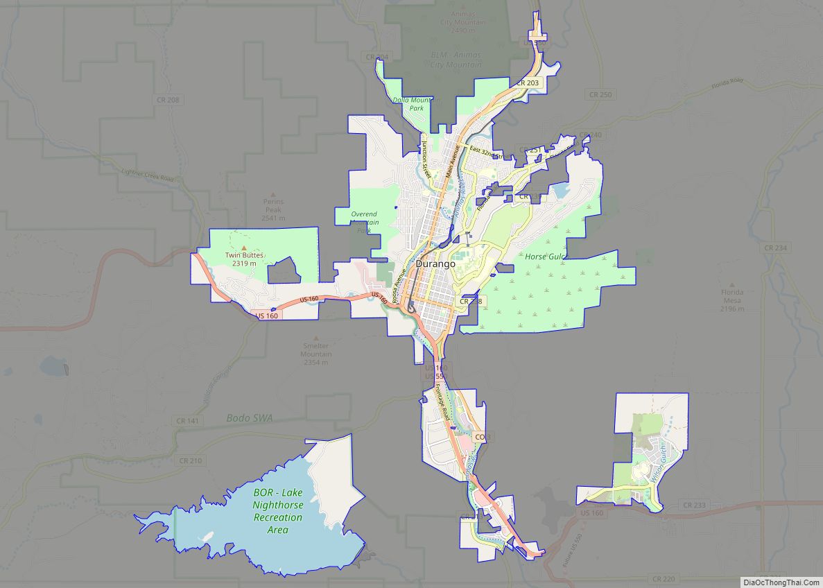
Durango is a home rule municipality that is the county seat and the most populous municipality of La Plata County, Colorado, United States. The city population was 19,071 at the 2020 United States Census. Durango is the home of Fort Lewis College.
| Name: | Durango city |
|---|---|
| LSAD Code: | 25 |
| LSAD Description: | city (suffix) |
| State: | Colorado |
| County: | La Plata County |
| Founded: | 1880 |
| Incorporated: | April 27, 1881 |
| Total Area: | 17.103 sq mi (44.296 km²) |
| Land Area: | 14.708 sq mi (38.093 km²) |
| Water Area: | 2.395 sq mi (6.203 km²) |
| Total Population: | 19,071 |
| Population Density: | 1,297/sq mi (501/km²) |
| ZIP code: | 81301-81303 |
| Area code: | 970 |
| FIPS code: | 0822035 |
| Website: | www.durangogov.org |
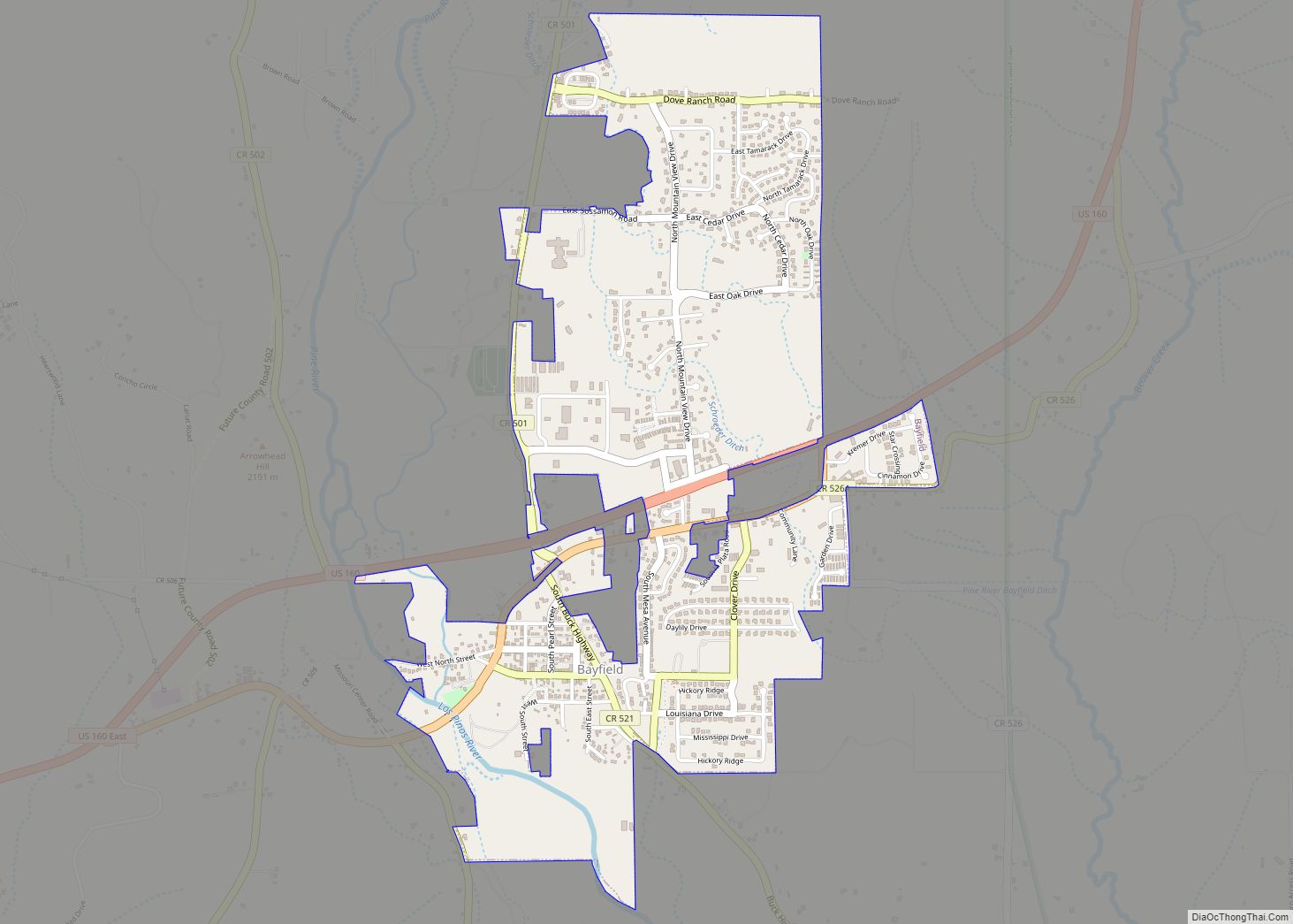
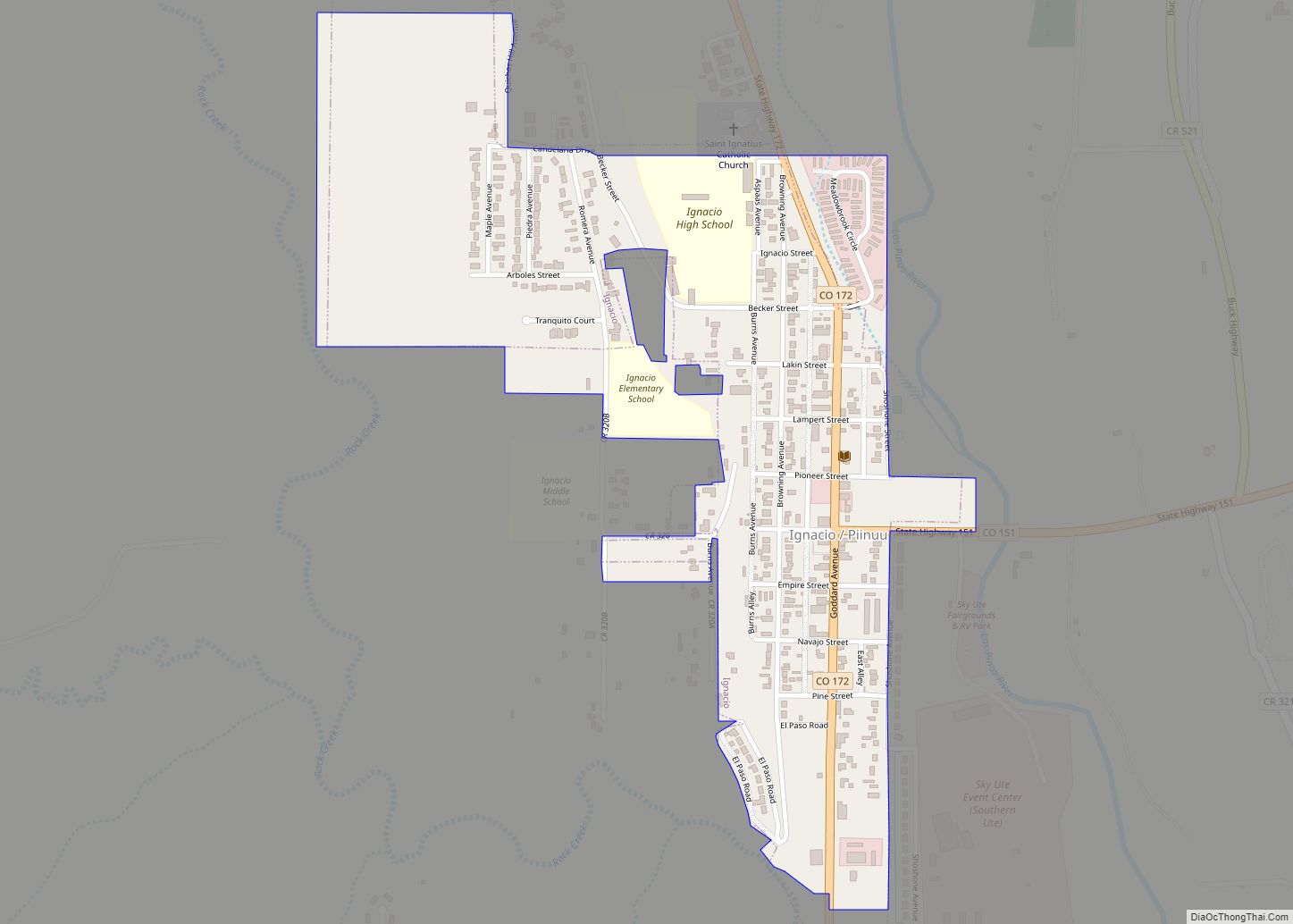
Online Interactive Map
Click on ![]() to view map in "full screen" mode.
to view map in "full screen" mode.
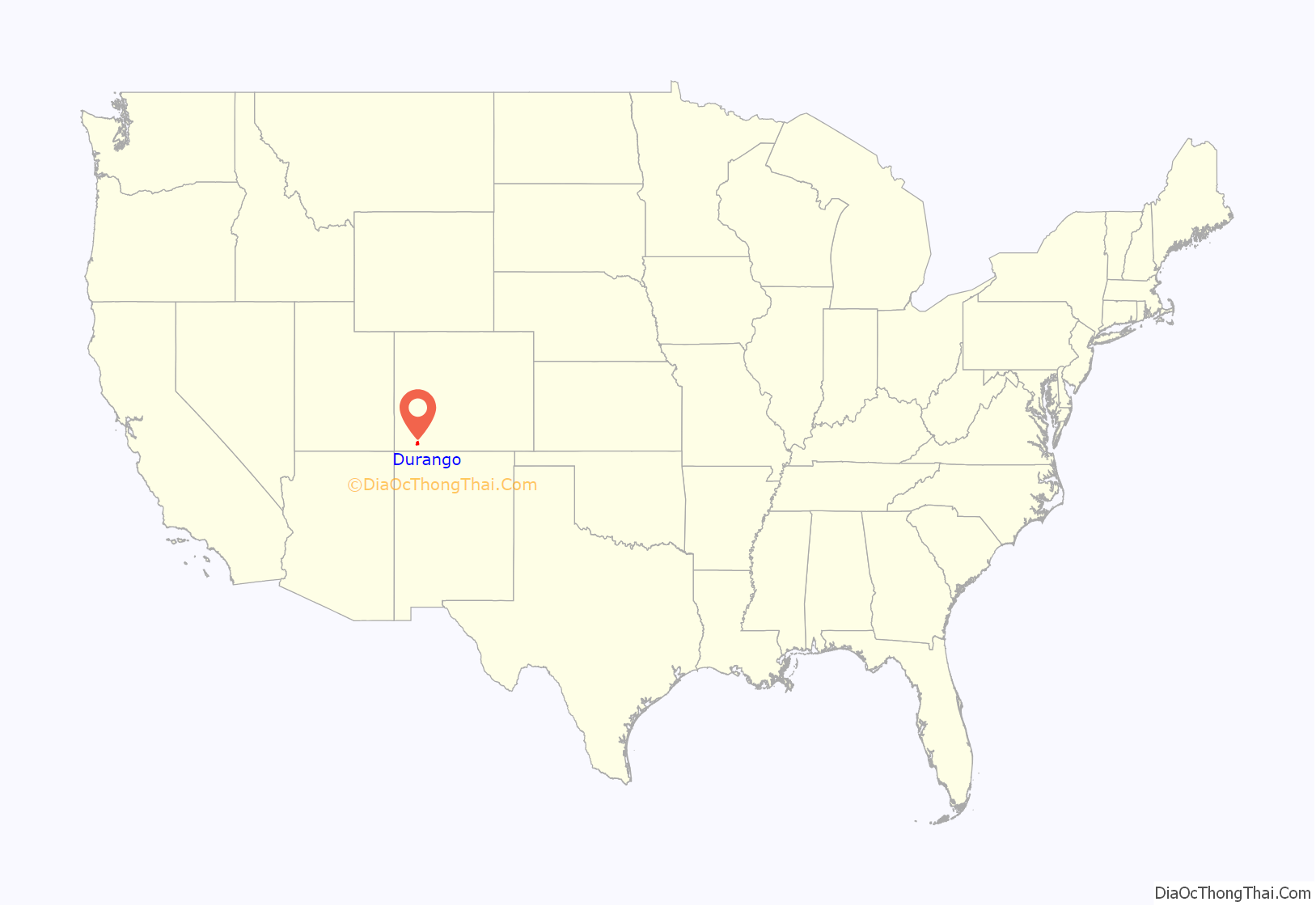
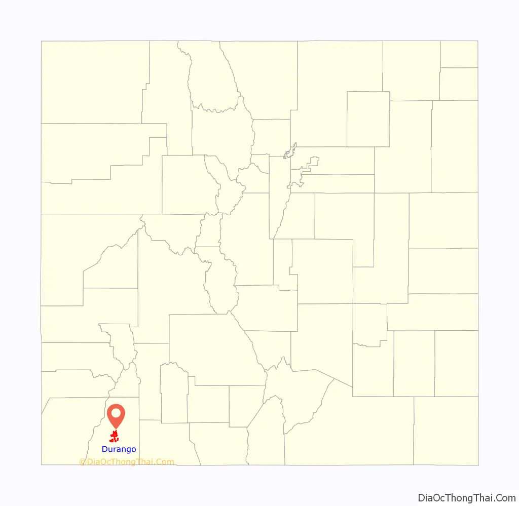
Durango location map. Where is Durango city?
History
The town was organized from September 1880 to April 1881 by the Denver and Rio Grande Railroad (D&RG, later known as the Denver and Rio Grande Western railroad) as part of their efforts to reach Silverton, Colorado, and service the San Juan mining district, the goal of their “San Juan Extension” built from Alamosa Colorado. The D&RG chose a site in the Animas Valley close to the Animas River near what’s now the Downtown Durango Historic Business District for its railroad facilities following a brief and most likely perfunctory negotiation with the other establishment in the area known as Animas City, two miles to the north. The city was named by ex-Colorado Governor Alexander C. Hunt, a friend of D&RG President William Jackson Palmer, after Durango, Mexico, based on his favorable impression of that city resulting from a scouting trip undertaken on behalf of Palmer.
Palmer among other D&RG associates such as William Bell started a subsidiary company known as the Durango Trust to sell land and plan a Main Street, 2nd, and 3rd Avenue, and so on to organize the town, taking inspiration from how Palmer founded the city of Colorado Springs. Sales from the Durango Trust skyrocketed by the completion of the D&RG’s Silverton Branch, and by 1885, Durango’s business district had seven hotels and restaurants, eleven saloons, dancehalls and stores, two bakeries and blacksmith shops, and a variety of other businesses, also boosting the town of Silverton’s population to 2,000 at the time.
The D&RG(W) and the Rio Grande Southern Railroad were vital resources to many places including Durango before the major introduction of the automobile, helping transport goods such as produce and mineral traffic in and out of the Southwestern Colorado area, and along with other businesses such as the Durango Smelter, immensely supporting the town’s economy. However, the Great Depression and aftermath of World War II hurt the area’s railroad industry. The Rio Grande Southern lost its contract to transport mail in 1951, and soon thereafter suspended operations. The D&RGW also ended their San Juan Express passenger service from Durango to Alamosa. However, the natural scenery along their Silverton Branch had been recognized as a major tourist attraction. In turn, the D&RGW introduced the major tourism industry into the Durango area, transporting visitors up to Silverton and back and attracting Hollywood into La Plata County for a time. Once the D&RGW ended up losing its freight traffic in 1968, the tracks from Durango east to Chama, New Mexico, and south to Farmington, New Mexico were removed, but the Silverton Branch remained in operation until 1981 when it was sold and became the Durango & Silverton Narrow Gauge Railroad.
There are significant archaeological sites surrounding the Durango area featured on the State and National historical registers, including:
- Mesa Verde National Park, a World Heritage site
- Chimney Rock National Monument, the most northeastern known outpost of the Ancestral Puebloans
- Durango Rock Shelters Archeology Site, a Basketmaker and Pueblo culture
- Spring Creek Archeological District, a Basketmaker and Pueblo site
- Talus Village, a Basketmaker site
Durango Road Map
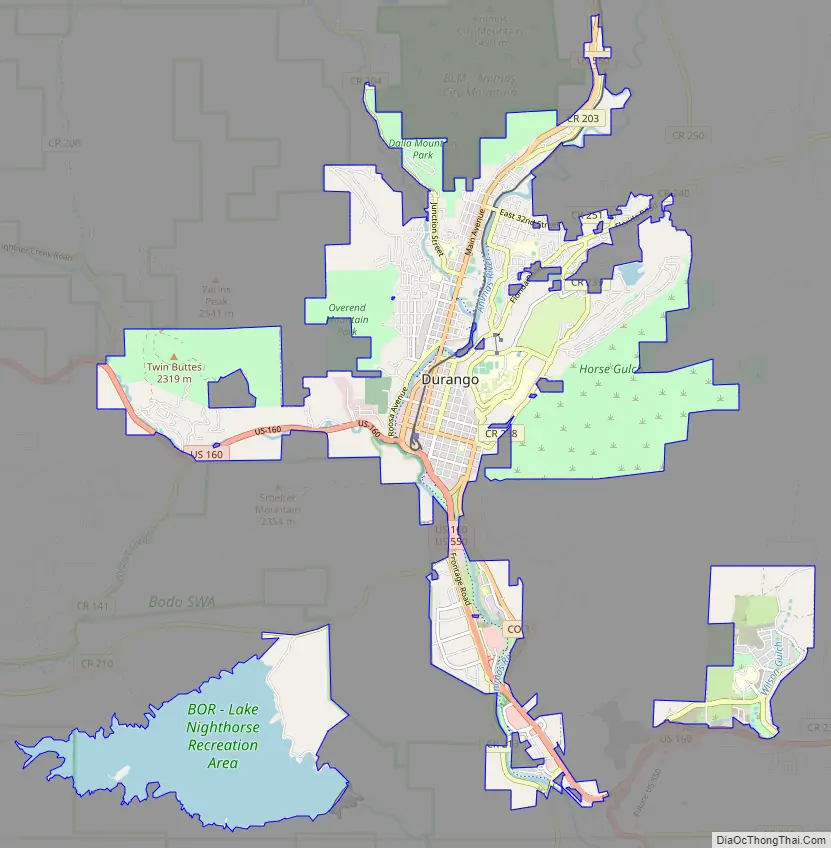
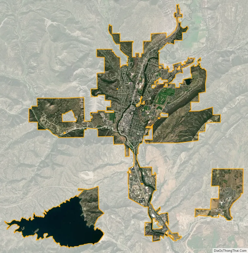
Durango city Satellite Map
Geography
Durango is located at 37°16′N 107°52′W / 37.267°N 107.867°W / 37.267; -107.867 at an elevation of 6,512 ft (1,988 m). At the 2020 United States Census, the town had a total area of 10,946 acres (44.296 km) including 1,533 acres (6.203 km) of water.
Climate
According to the Köppen climate classification system, Durango has a mediterranean continental climate (Dsa). The average annual precipitation is 19.33 in (491 mm). Its hardiness zone is 5b.
See also
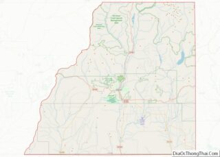
Map of Colorado State and its subdivision:- Adams
- Alamosa
- Arapahoe
- Archuleta
- Baca
- Bent
- Boulder
- Broomfield
- Chaffee
- Cheyenne
- Clear Creek
- Conejos
- Costilla
- Crowley
- Custer
- Delta
- Denver
- Dolores
- Douglas
- Eagle
- El Paso
- Elbert
- Fremont
- Garfield
- Gilpin
- Grand
- Gunnison
- Hinsdale
- Huerfano
- Jackson
- Jefferson
- Kiowa
- Kit Carson
- La Plata
- Lake
- Larimer
- Las Animas
- Lincoln
- Logan
- Mesa
- Mineral
- Moffat
- Montezuma
- Montrose
- Morgan
- Otero
- Ouray
- Park
- Phillips
- Pitkin
- Prowers
- Pueblo
- Rio Blanco
- Rio Grande
- Routt
- Saguache
- San Juan
- San Miguel
- Sedgwick
- Summit
- Teller
- Washington
- Weld
- Yuma
- Alabama
- Alaska
- Arizona
- Arkansas
- California
- Colorado
- Connecticut
- Delaware
- District of Columbia
- Florida
- Georgia
- Hawaii
- Idaho
- Illinois
- Indiana
- Iowa
- Kansas
- Kentucky
- Louisiana
- Maine
- Maryland
- Massachusetts
- Michigan
- Minnesota
- Mississippi
- Missouri
- Montana
- Nebraska
- Nevada
- New Hampshire
- New Jersey
- New Mexico
- New York
- North Carolina
- North Dakota
- Ohio
- Oklahoma
- Oregon
- Pennsylvania
- Rhode Island
- South Carolina
- South Dakota
- Tennessee
- Texas
- Utah
- Vermont
- Virginia
- Washington
- West Virginia
- Wisconsin
- Wyoming